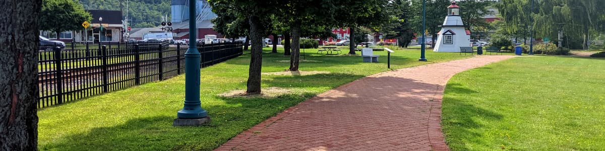
Vermont is known for rugged mountain hikes and backcountry routes, but the state also offers an impressive network of paved and smooth multi-use paths. These routes provide predictable surfaces, minimal grades, and scenic views, making the outdoors accessible for wheelchairs, strollers, and anyone seeking a smooth, level path.
These paved trails provide a good geographic mix across Vermont. Some routes are fully paved end to end, while others transition to boardwalk or compacted gravel.
Click each location on the map to see additional accessibility information, including slope, parking, restrooms, benches, and more.
To see the location of these trails as pins on a state map, scroll to the bottom of this page.
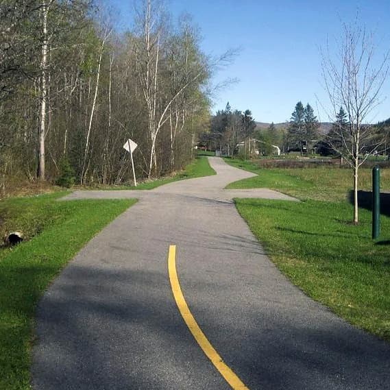
Length: ~1.5 mil, round trip (paved section)

The full Valley Trail extends over 9 miles between Dover and Wilmington, and the section in West Dover near the Town Park and Mount Snow is fully paved. The rest of the network transitions into gravel and natural surfaces. This segment runs parallel to Route 100, providing a smooth, dependable corridor for village exploration that links the shopping areas and Dover Town Park.
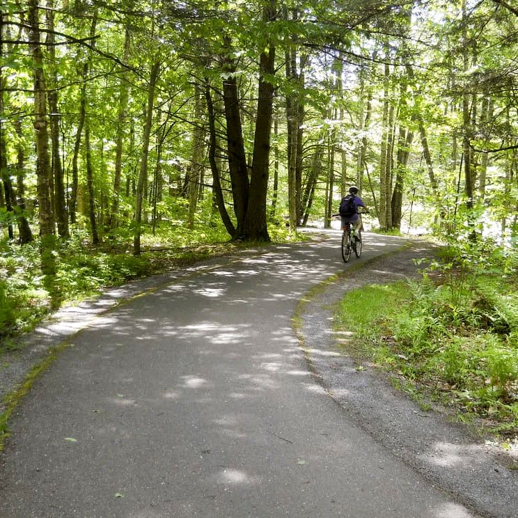
Length: 5.3 miles, one way
This internationally recognized greenway is entirely paved. It features 10-12 foot widths and gentle grades (typically 0–3%). The path crosses the West Branch River multiple times via wooden bridges and offers iconic views of Mount Mansfield, farm animals, and local swimming holes.
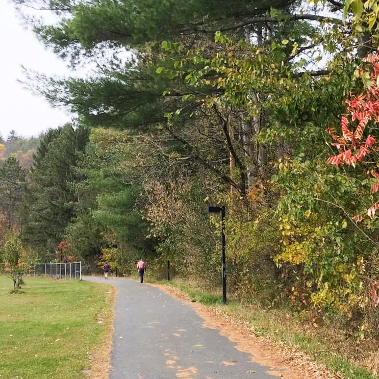
Length: ~2 miles, one way (Montpelier section)
Often referred to locally as the Montpelier Recreation Path, this riverside route follows the Winooski River. It connects the residential West End with downtown Montpelier. It is a wide, flat, and paved multi-use path that offers great views of the State House dome and easy access to local parks.
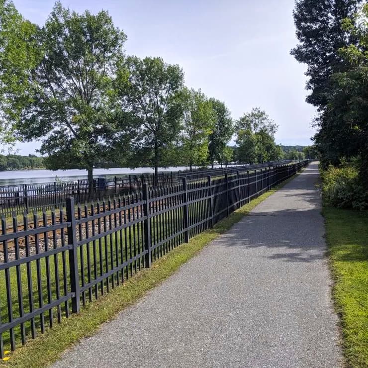
Length: ~2 miles, one way
Starting near the Newport City Docks, this path winds through the city and along the shores of Lake Memphremagog. It features paved sections and a wooden boardwalk with typical slopes under 3%. It eventually connects with the Beebe Spur Rail Trail (which is primarily crushed stone).
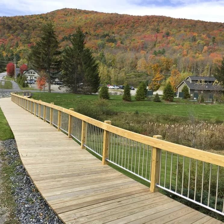
Length: 1.3 miles, one way
This is not a purely paved trail. It is a "universally accessible" style path that uses a combination of paved sections, wooden boardwalks, and compacted stone dust. It connects Waitsfield Village to Irasville and offers beautiful views of the Mad River and the Great Eddy Covered Bridge.
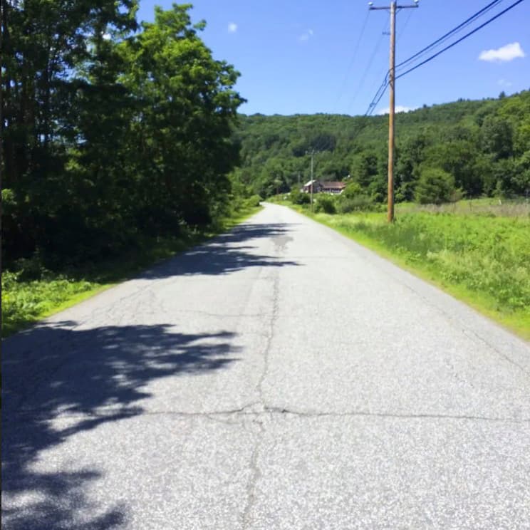
Length: 3.2 miles, one way
This multi-use path follows a former electric trolley route along the Black River. It is approximately 7–10 feet wide and mostly level. Highlights include the rustic trolley bridge at mile 1.5 and the historic 1795 Eureka schoolhouse located near the trailhead.
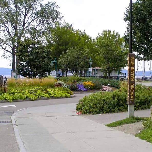
Length: 8 miles, one way (Burlington section)
The Burlington Greenway is the gold standard for paved trails in Vermont. It runs along the Lake Champlain shoreline with views of the Adirondack mountains in New York across the lake. The first 8 miles from Oakledge Park to the mouth of the Winooski River are fully paved and smooth. The trail connects to the Island Line Trail in Colchester, where it turns to packed crushed stone across Lake Champlain to South Hero and the Champlain Islands for those seeking longer routes on unpaved terrain.
The map below shows you where these seven trails are located in Vermont. Click on a map pin to view the detailed listing page and trail map for each trail.
You can also find additional paved or smooth trails on Trail Finder, with information about the trails' width, slope, and surface type; parking information, and accessibility notes to help you choose the right route for your needs.
Whether you’re planning for wheelchair use, stroller-friendly outings, cycling, or simply a predictable walking surface, Vermont offers more smooth trails than you might expect.

Success! A new password has been emailed to you.