Hey fellow trail users! I had quite a busy year in 2024. I've been sharing my visits to trails across Maine for a couple years for Maine Trail Finder through a blog series called "Enock's Adventures." In 2024, I started visiting trails in Vermont and have the opportunity to share some of my experiences with you here.
I am finally getting around to writing some of it down for you to check out. I spent six days in Vermont this past summer working on a project with my fellow Community Geographics colleagues and other Vermonters who are working to make more accessible trails in the state. The project is called the Trail Accessibility Hub, and you can read more about it on the Vermont Trails & Greenways website. One of our team's tasks is to complete field visits to trails tagged as "Accessible Experiences" on Trail Finder. The goal is to improve the quality of information for these trails that afford higher levels of access. I also am using Trail Talk blog posts to share more about my personal experiences and observations while out on trail.
I should add before I get too far into my trip report that I am a manual wheelchair user and adaptive athlete. I have good upper body strength, which may make it easier for me to push on trails than someone with less strength. To learn a little bit more about me, here's some more info on my website.
The area I want to tell you about in this posting first is Burlington. If you live in this area, you have access to some of the most accessible outdoor spaces I have ever seen. You are lucky to have these in your own backyard!
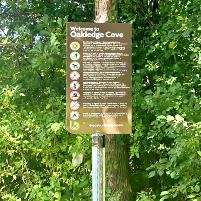
My first stop was Oakledge Park in the South End of Burlington. Its description on Trail Finder is as follows:
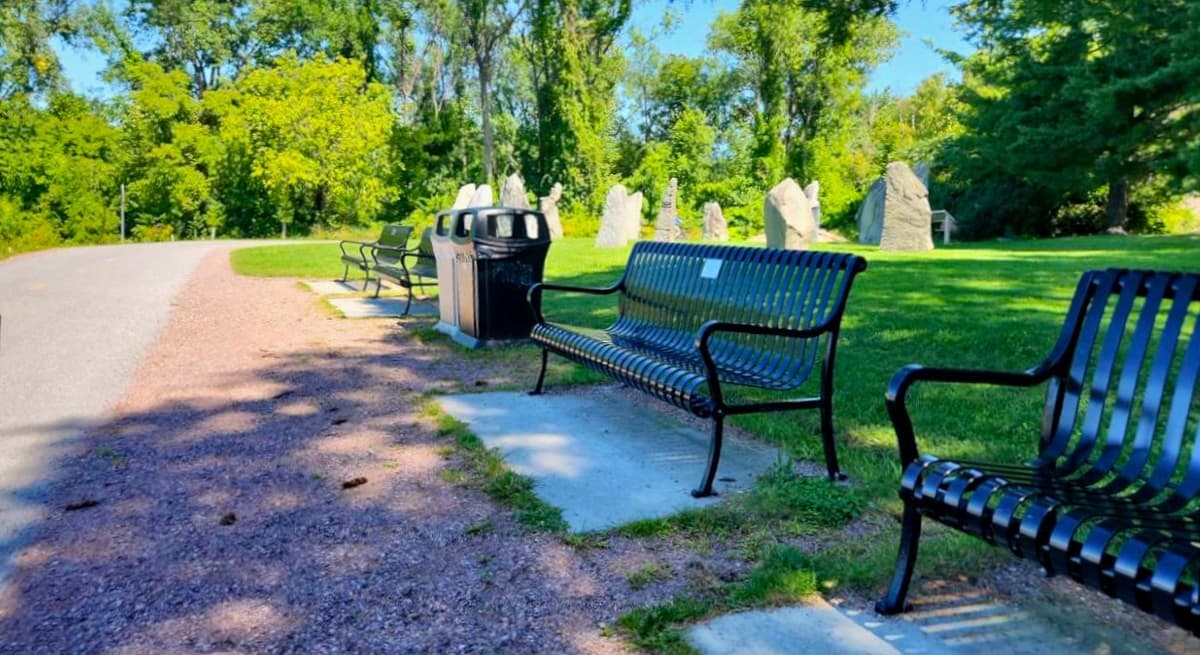
Oakledge Park has a variety of offerings including two beaches, rocky lakeside cliffs, the Burlington Earth Clock, bocce ball courts, a playground with universal access features, tennis courts, picnic shelters, and a tree house. Lesser known are the networks of trails inside the park. Winding from north to south, the Burlington Greenway Bike Path offers a route through the middle of the park, and is slated to be upgraded to the standards of the northern sections of the Greenway in 2021. In the southern portion of the park, the Upper and Lower Wetland offer places to watch birds and hundreds of newly planted trees grow. Dirt trails connect the wetlands through the woods and mowed paths offer ways through the new plantings.
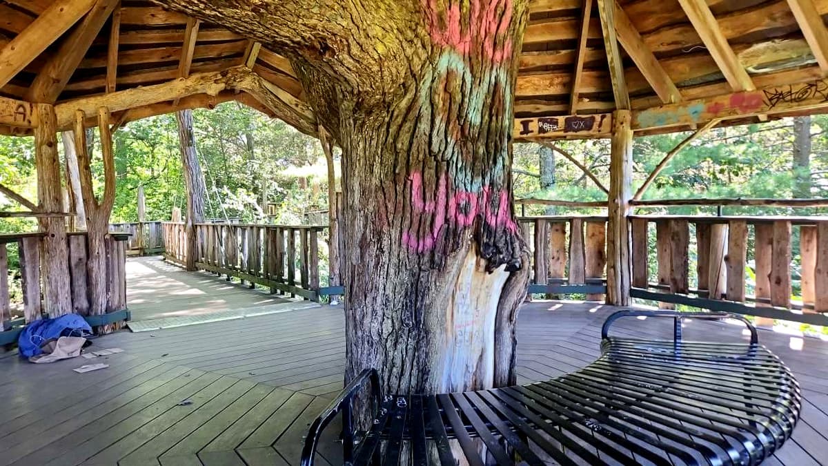
I loved that the description mentioned a playground with universal access features. Upon further research on the city website, I found what they said was an accessible treehouse as well as accessible shelters. I had to check all of this out for myself.
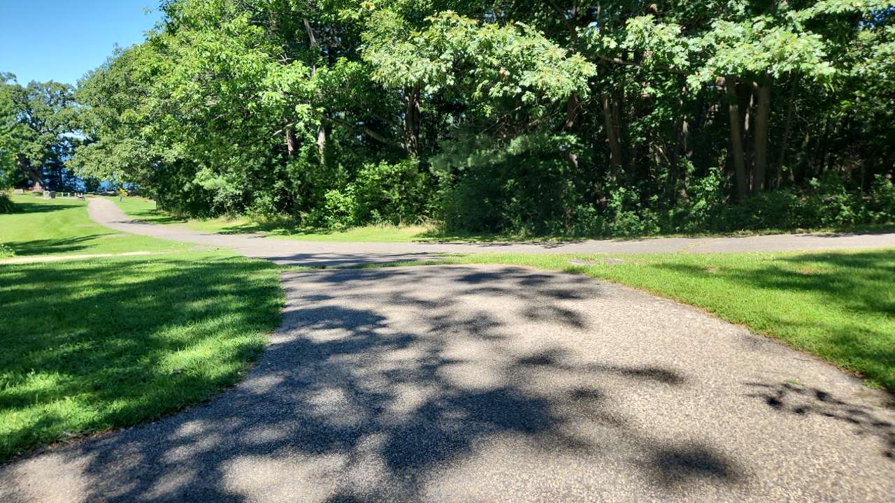
When I first arrived I wasn’t quite sure where to park so I just kept driving and eventually found a huge paved parking lot with accessible spaces.
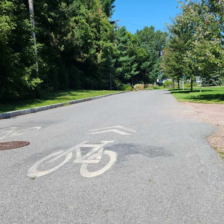
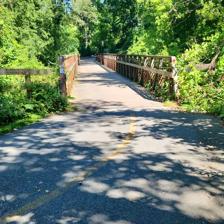
All of the main trails which are mostly part of the greenway are paved which definitely made for an accessible experience, for the most part.
Here is where the described accessibility seems to be not quite right. Getting to the accessible treehouse invovles a very steep paved hill. Once at the treehouse, it was apparent it needed some maintenance, but was overall it was very accessible as long as you could actually get to it. Since it is so hard to get to and back up from, it technically isn’t accessible.
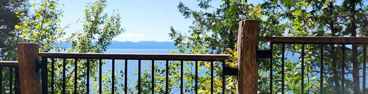
The rest of my day was truly special, along the paved trail that stretches for over a mile along the shores of Lake Champlain until reaching Proctor Place. There is so much to do and see in just a mile.
There is the accessible playground, but there are also ramps down the beaches. Of course, it is sand once you get there which makes it a bit tough. The views of the water and Burlington in the distance are stunning. I saw a group of people with disabilities enjoying the picnic shelter and riding handcycles on the paved paths.
If you are in the Burlington area and looking for an accessible place to enjoy the lake, this is the place for you.
My next stop was Shelburne Bay Park. This was a more traditional trail that also leads to a beautiful view of the lake.
Trail Finder describes is as follows:
The Rec Path begins from the parking lot along the road and proceeds along between wood and meadow. It is flat, accessible, and popular.
From the Rec Path, the Allen Hill Trail ascends rapidly and stays along the water. Of moderate difficulty, it offers the most dramatic views of the water, and ends back at the Rec Path on the beach. Clark Trail is relatively short; it parallels the Rec Path and stays close to the water. It is sometimes muddy.
There is a picnic area and small boat access near the trailhead. Dogs must be leashed. The Rec Path is wheelchair accessible.
Here is a surprise, I completely agree with the description on this one, other than the part about it being flat part. You will see what I mean if you read on.
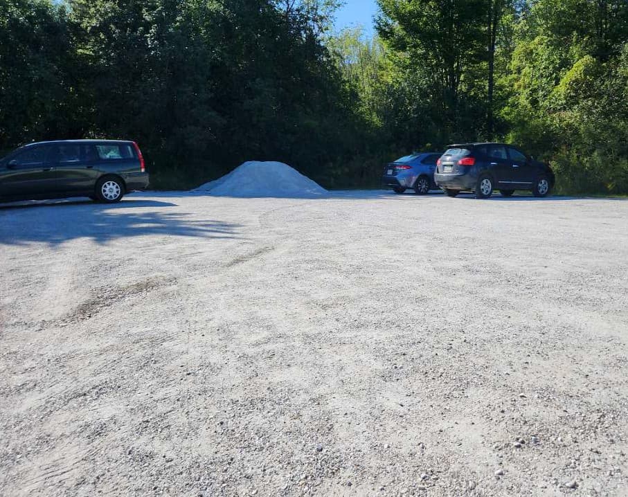
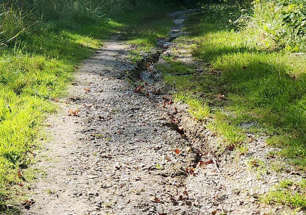
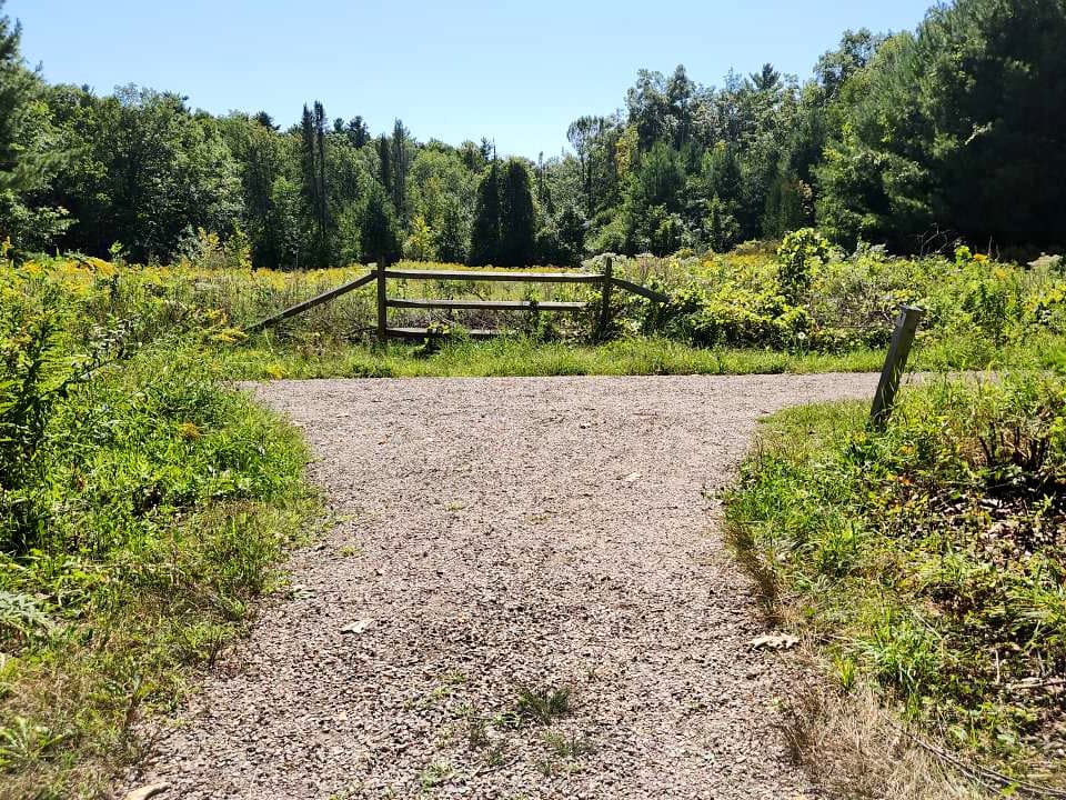
The parking lot is the typical dirt but also very flat. There isn’t any accessible parking, but it also was not busy at all. I managed to park in such a way that no one could park beside me, effectively making it an accessible space.
The parking lot is also not actually near the trailhead. I had to go up a road for a short distance before entering the woods and the actual trail.
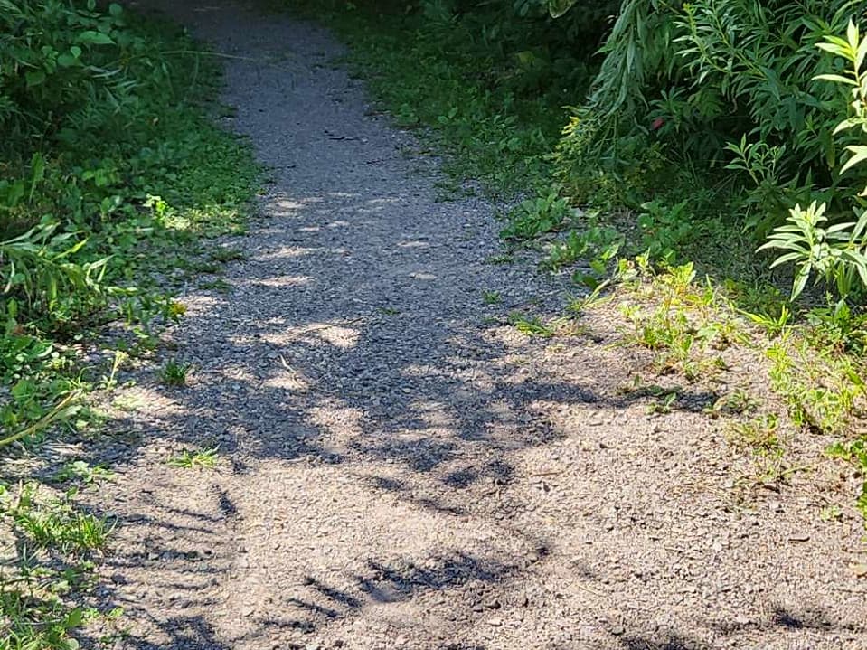
I stuck to the trail furthest to the left called the Rec Path, which you can see on the trail map.
Once in the trail I was pleasantly surprised as to how nice the surface is. I had very little issue with any obstacles at all for the entire 1.27 miles of this hike. The trail seems like an old road as it is at least 6 feet wide for its entire length.
There are a few spots with small roots and some rocky areas, but nothing that is impassable.
As the trail heads toward the water there is a slight decline for the entire length. This means there is a slight incline all the way back. I definitely felt it on the way back, but it wasn’t difficult at all. It was well worth the view when I finally made it to the water.
This is another one I would highly recommend if you are in for a bit more wilderness challenge with an awesome payoff at the end.
Here is Rock Point's description on Trail Finder:
Looking for hiking trails in Burlington, Vermont? Look no further than Burlington's hidden gem, Rock Point Property - a system of PUBLIC trails on PRIVATE property. Each year, nearly 10,000 people come to Rock Point, finding a place to walk, seek solitude, learn, play, sing, pray, think, share, and be. Rock Point is a welcoming sanctuary in the heart of Burlington, and our hiking trails are accessible for visitors of all abilities. We welcome community members and ask you to respect the guidelines below, which will keep this unique natural area protected for others to enjoy.
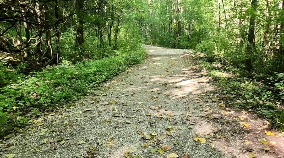
Rock Point offers over two miles of accessible walking and hiking trails on 130 acres of privately owned and conserved land along the shores of Lake Champlain in Burlington. Our trails are available for public use thanks to a partnership with the Lake Champlain Land Trust and the City of Burlington (see guidelines). Thanks to a partnership with City of Burlington Parks, Recreation & Waterfront, our trail system links up with the City's. The trail system was renovated in 2020 and now features kiosks at trailheads, wayfinding maps at junctions, and blazes along the trails along with a universal access trail. Note that portions of the Holy Trinity Trail are closed for part of the summer to provide privacy for summer camps.
These trails were a somewhat confusing to find. Because the trails are just one part of the Rock Point Intentional Community, there are many roads to buildings and other places within the sanctuary. I got a bit lost, but not horribly as it isn’t that big a place.
When I finally found the trail's parking area, it was an old concrete slab. There are accessible parking space lanes painted on it but they are quite faded. The concrete did however make it very easy to park and get out of my car.
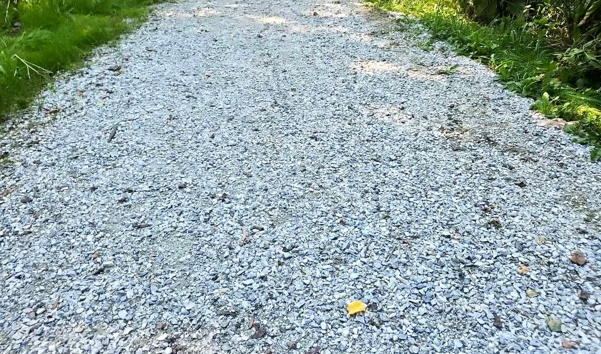
Once on the trails, I found them to be less accessible than what you might expect from the Trail Finder description. It is mostly a maintenance issue. The trails are actually really wide, and mostly flat if with some hills. But the surface is quite rocky in some places, and in one area has very deep loose stone which makes it harder to push.
I also found navigation a bit difficult because of a lack of signage. It was only about a half-mile to the amazing view of the Lake though, and there is a really cool area that looks a bit like an outdoor classroom. I have to say I would recommend this one too.
If you are counting, that is three awesome hikes you can do within 15 minutes of each other around Lake Champlain. So get out there and check them out this summer. I promise you won’t regret it.
Success! A new password has been emailed to you.