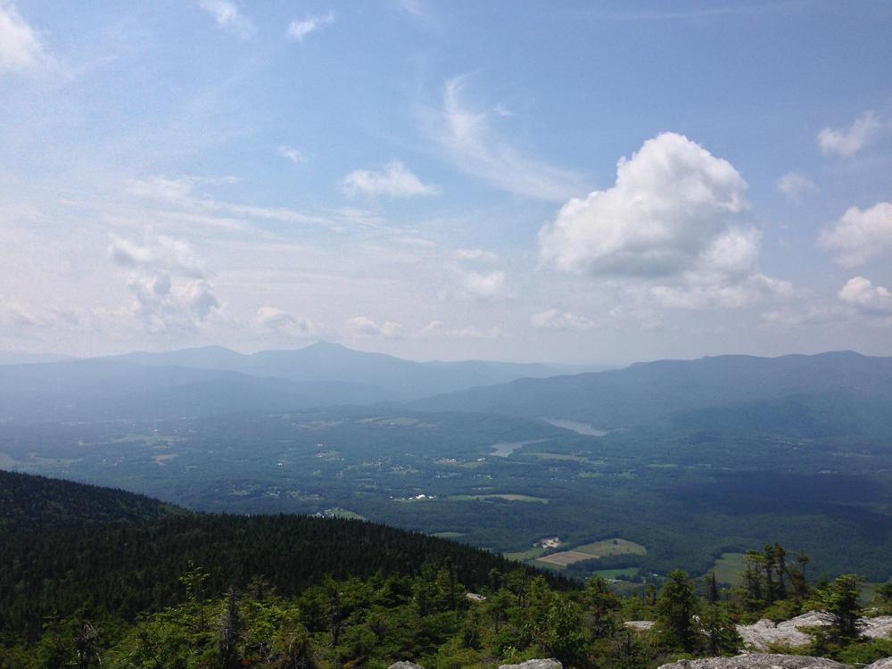
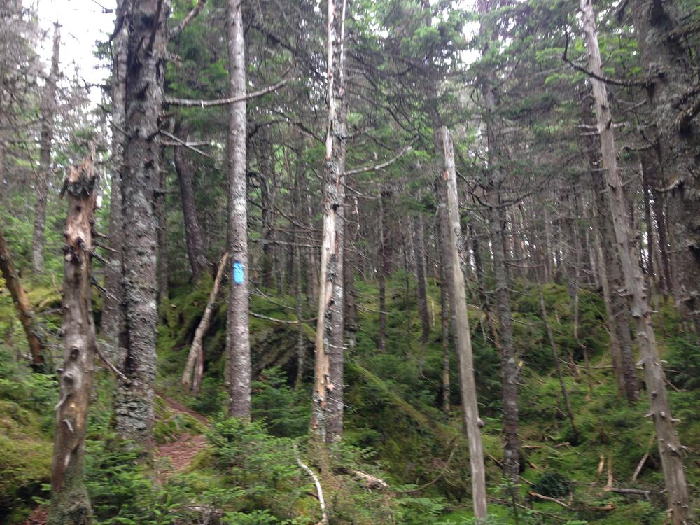
The Skyline Trail is a ridge walk, linking Mount Hunger, Mount Worcester, and the Stowe Pinnacle. The trail must be accessed by other C.C. Putnam State Forest trails, and can be started at either the north or south end. Much of the trail is heavily forested but the sections leading up to peaks are typically rocky and require some scrambling. There are a number of spur trails off the main trail that offer hikers stunning views of Mount Mansfield, the Champlain Valley, and the Adirondacks. With little foot traffic it is also a prime spot for wildlife viewing.
Primitive camping is allowed at designated areas within CC Putnam State Forest. For more information see the Vermont Department of Forests, Parks, and Recreation primitive camping webpage.
For more information on the trail or C.C. Putnam State Forest, visit the Vermont State Department of Forests, Parks, and Recreation online, or contact:
![]()
The Skyline Trail starts on the ridge of the Worcester Mountains, so the trail must be accessed via one of other related trails (Middlesex Trail, Waterbury Trail, Stowe Pinnacle/Ridge Trail, Worcester Mountain Trail).
Directions to the Middlesex Trailhead: From Montpelier, head north on VT-12/Elm Street/Worcester Branch Road and continue for 4.9 miles. Turn left onto Shady Rill Road and continue for 2.2 miles. Turn right onto Story Road and continue for 0.7 miles. Turn left onto North Bear Swamp Road and continue for 1.9 miles to the parking area on the right.
Directions to the Waterbury Trailhead: From Cold Hollow Cider Mill in Waterbury Center, turn left to drive south on VT-100, then make the next left onto Hollow Road and continue for 0.3 miles. Turn left onto Howard Avenue, then left again onto Maple Street and continue for 0.2 miles. Turn right onto Loomis Hill Road and continue for 1.9 miles, then continue straight when the road turns into Sweet Farms Road. The trailhead and parking are 1.5 miles down Sweet Farms Road.
Directions to the Stowe Pinnacle Trailhead: From downtown Stowe, turn off of VT-100 and onto School Street and continue for 0.3 miles. Take a slight right onto Stowe Hollow Road and continue for 1.6 miles, then continue straight onto Upper Hollow Road for 0.6 miles. The parking area and trailhead is off the road on the left.
Directions to the Worcester Mountain Trailhead: Out of the town of Worcester, turn onto Minster Brook Road and continue for 1.5 miles. Turn right onto Hampshire Hill Road and continue for 2.5 miles, then turn left onto Mountain Road where the parking area is 0.1 miles ahead.
It is mud season in Vermont. Even if a trail is marked as open, pay attention to trail conditions. If you encounter mud or ice, turn around. Come back once the trail has had time to dry out.
Success! A new password has been emailed to you.