Mud season is here!Protect the trails we all love by sticking to open, dry areas. Learn more! 

Stowe Pinnacle

This trail system is currently PARTIALLY OPEN. See Trail Alerts tab for details.
On a clear day, this short but steep hike through C.C. Putnam State Forest offers scenic views of Mount Mansfield, Mount Hunger, and Camel's Hump. 
Trail Activity
Hiking Snowshoeing
Length
3.50 miles, Network
Difficulty
Moderate
Town
Stowe (VT)
Surface
Packed Earth/Dirt, Gravel/Crushed Stone/Cinder, Rock/Ledge
Pets
Permitted on leash
Fees
No

Description

TRAIL CLOSURES:
The Pinnacle Meadows Trail is open, but the rest of the trails are currently closed for mud season.


HIGH USE TRAIL:

This is a busy trail system, especially on weekends between 9AM-4PM. Consider visiting outside of peak periods. Use Trail Finder to identify other nearby trails. If the parking lot is full when you arrive, please choose another trail. 

Learn more about high use trail systems.

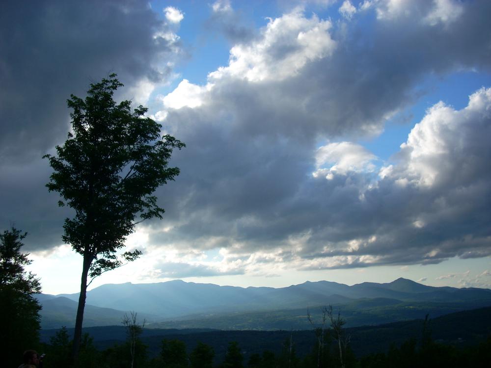
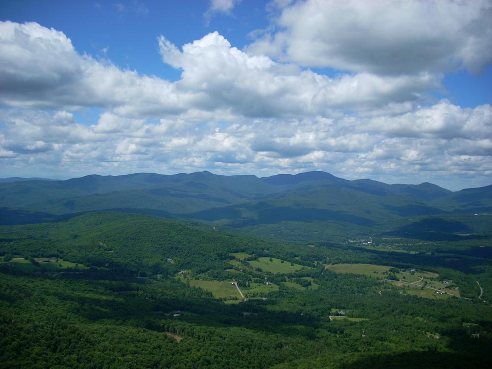
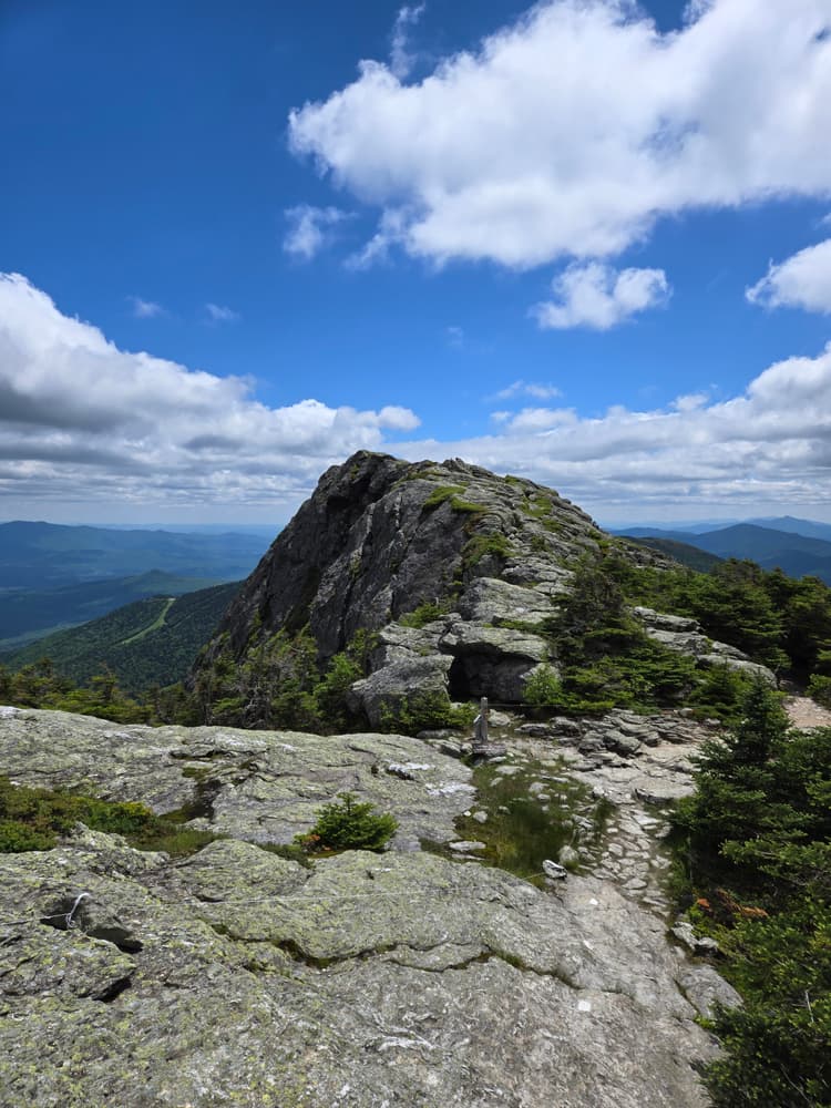
The Stowe Pinnacle Trail warms up on a false-flat grade for about 0.5 miles before ascending a steep staircase-like climb through a mixed hardwood forest. Halfway up the trail, there is an overlook spur with views to the west of Mount Mansfield. The trail then continues on a short distance to the Hogback Trail junction. The trail then levels out a bit and treks through a thinner forest up to a bald rock summit. Mount Mansfield looms to the northwest and Mount Hunger to the south; on clear days other Green Mountain peaks (like Camel's Hump) are visible as well. 

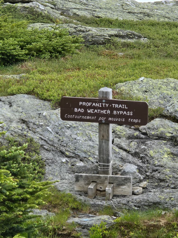
From the summit, hikers can either turn around and descend the way they came up, or continue on the Ridge Trail to Hogback Mountain and beyond to the Skyline Trail, which connects to Mounts Hunger and Worcester.

The Pinnacle Meadow Trail begins at the gated road adjacent to the parking area and ascends the dirt road to a clearing in the shadow of the Pinnacle. The Pinnacle Meadow trail continues into the woods at the top of the clearing and connects to the Stowe Pinnacle Trail 0.5 miles below the scenic overlook.

Other Information

Primitive camping is allowed at designated areas within CC Putnam State Forest. For more information see the Vermont Department of Forests, Parks, and Recreation primitive camping webpage.

Trail Manager

For more information on the trail or C.C. Putnam State Forest, visit the Vermont State Department of Forests, Parks, and Recreation online, or contact:

VT Dept. Forests, Parks & Recreation District 4: Barre District

VT Dept. Forests, Parks & Recreation District 4: Barre District
5 Perry Street, Suite 20
Barre, VT 05641-4265
Phone: (802) 476-0182
Walter.Opuszynski@vermont.gov
View website

Trail Tips

Plan Ahead and Prepare
Use common sense. If it seems like a bad idea, it probably is.
Legend
Hide All

Trailhead Information

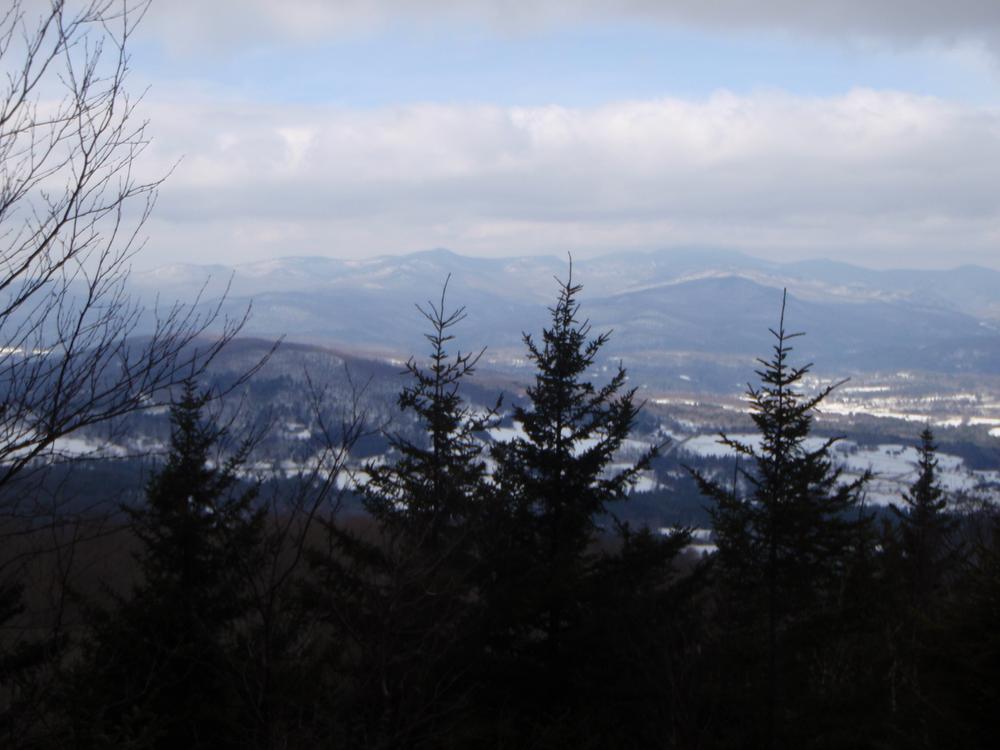
From downtown Stowe, turn off of VT-100 and onto School Street and continue for 0.3 miles. Take a slight right onto Stowe Hollow Road and continue for 1.6 miles then continue straight onto Upper Hollow Road for 0.6 miles. Stowe Pinnacle parking area and trailhead are off the road on the left. This lot is plowed in the winter. 

The Pinnacle Meadow Trailhead, located just north of Stowe Pinnacle and at a higher starting elevation, also provides access to the Stowe Pinnacle Trail. To reach the Pinnacle Meadow Trailhead, follow the directions to the first trailhead, but turn left just before reaching the Stowe Pinnacle Trailhead, and immediately after Upper Hollow Road turns to gravel, onto Pinnacle Road. After 0.4 miles, make a slight right onto Upper Pinnacle Road and travel for 0.6 miles. At the next fork, take the slight left onto a fourth class road that is marked "Pinnacle Meadow" and travel for 0.4 miles to the state forest sign, gate, and parking area on your left. This lot is also plowed in the winter. 

Click on a parking icon to get custom directions
Please Log In or Create Account to add comments.
These awesome businesses support our goal of connecting people to outdoor adventures!
Hang Tight!
Nearby services are loading
No Results
No Services Found

Trail Alerts

Trails
Hiking Mud Season
March 20, 2024 – May 24, 2024

It is mud season in Vermont. Even if a trail is marked as open, pay attention to trail conditions. If you encounter mud or ice, turn around. Come back once the trail has had time to dry out.  

Trails
Mud Season Trail Closure
March 20, 2024 – May 24, 2024

One or more trails in this system is currently closed due to muddy or wet conditions. Please help to protect our trails by not walking on them when they are soft and easily damaged. Learn more.

If any trails are open, they will be listed on the Details tab.

SHARE THIS TRAIL

Add Trail Log

Please wait…
Join In on the Fun!
Log in or create an account below to unlock all the great features of Trail Finder: keep track of trails you want to do, preserve memories of trails you’ve done, earn badges, and more!
Your log in attempt was not successful. Please try again.
    Lost your password? Reset your password
    Don't yet have an account?
    There was an issue with your submission. Please try again.
      * Indicates required field
      Already have an account? Login here
      Enter your username, and we will send you a new, randomly generated password to your email account.
      There was an issue with your submission. Please try again.

        Success! A new password has been emailed to you.

        Log in now

        Please wait…