The Cross Vermont Trail is a route suitable for non-motorized travel from the banks of the Connecticut River in the east to the shores of Lake Champlain in the west to (or the other way). It is a patchwork quilt being stitched together from many local paths. More details here.
From the west, the trail route begins in Burlington on the shores of Lake Champlain, then generally parallels the Winooski River through Waterbury and Montpelier to the town of Marshfield, where it crosses out of the Winooski watershed in Groton State Forest. Meeting with the head waters of the Wells River in the State Forest, the trail continues along the length of the Wells River through the villages of Groton, South Ryegate, and Wells River to the east end at the Connecticut River.
Another way to visualize the general route of the trail is to look at a Vermont Highway map. From west to east, the route of the Cross Vermont Trail generally parallels Rte 2, Rte 232, and Rte 302.
In Burlington, South Burlington, and Williston, the trail route mostly follows the excellent municipal bike path networks created by these communities. They have worked many years to develop this network. An alternative route, including some more primitive sections open only to foot traffic, can be composed from the string of parks maintained along the banks of the Winooski River by the Winooski Valley Park District and Burlington City Parks.
In Richmond, Bolton, Waterbury, Moretown, Berlin, and Middlesex our route is formed by a patch work of recreation paths, quiet dirt roads, and scenic stretches of Rte 2 and Rte 100B.
In Montpelier we join with the Central Vermont Bike Path. This is an ongoing project with several pieces completed and more in the planning stages. Currently the Cross Vermont Trail route connects together existing portions of path with local streets to create a through route.
In East Montpelier the route mostly follows Rte 2 and Rte 14; high speed roads in busy areas. Cross Vermont Trail Association is working now to create an alternative off road path.
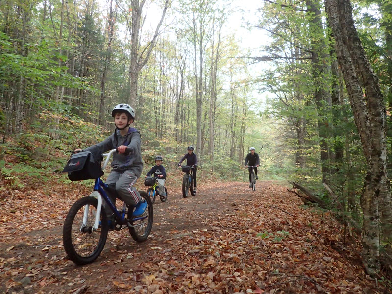
Finally, starting at the eastern part of East Montpelier and running through Plainfield, Marshfield, Groton, Ryegate, Newbury, and Wells River the trail route alternates between open sections of path created from the historic railbed of the old Montpelier - Wells River Railroad and sections of Rte 2 and Rte 302. (The town of Groton maintains a website with recreation information for path users.) CVTA is working towards the long term goal of moving the entire route off of state highways. In some places this can be achieved by repairing portions of the old railroad. In other places the old railbed is not available and we are talking with interested landowners about alternative corridors where we can build new path from scratch.
You can help build more trail! Do you know additional or different information about the route? Please contact the Cross Vermont Trail Association anytime with updates.
The Cross Vermont Trail is divided into map sections that are numbered from east to west. Click on the trail in the above map to see the location of each section. The Trailhead Icons (TH) on the map show the location of off-road sections of the route, and of connecting bike routes and paths. Click on "Show Legend" in the top right of the map to chose which map icons to view.
Please find detailed maps and cue sheets for each section here. A narrative description of the trail can be found here. Temporary route notices, such as storm damage or road construction, can be found here.
A Guide to History and Nature along the trail can be found here.
Includes Wells River Rail Trail: Newbury which passes through Wells River Conservation Park with access to Blue Mountain Nature Trail and Boltonville Nature Trail. Eastern part of section travels through Wells River Village downtown and along Rte 302 (wide shoulders).
Map 2: Newbury, Ryegate, Groton
Includes the Wells River Rail Trail: Groton - Marshfield which passes through the town of Groton and Groton State Forest. Section also visits the peaceful village of South Ryegate. Meandering views of pastures with backdrop of forested hills. Section includes railbed trails, town roads and Rte 302 (wide shoulders).
Map 3: Groton State Forest, Groton, Marshfield
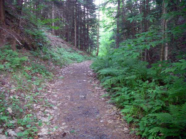
Eight mile rail trail, Wells River Rail Trail: Groton - Marshfield, through Groton State Forest, Seven Vermont State Parks in Forest with camping, swimming, hiking. Easy grade trail with views of ponds and mountains. Section also includes unpaved town roads and short section of paved town road.
Map 4: Marshfield, Plainfield
Marshfield Village to Plainfield Village along Rte 2. Ride through a rural area with meadows, rolling pastures and forested hills. Martin Covered Bridge is on south side of Rte. 2 in Marshfield. Paved state highway with narrow shoulders.
Map 5: Plainfield, East Montpelier
Includes Wells River Rail Trail: East Montpelier–Plainfield which travels through a quiet forested area with a dramatic notch. Scenic rural scenery to the east of rail trail. Traffic on Rte 2 (narrow shoulders) can be heavy at times.
Map 6: East Montpelier, Montpelier (Gateway Park)
East Montpelier village to Vermont's state capitol along Rte 2, an often busy road with wide shoulders. Nice views along the Winooski River. Bike paths and paved city roads through Montpelier's downtown. The Cross Vermont Trail connects with the Central Vermont Regional Path: Montpelier.
CVTA is currently exploring possible ways to build a new, off road path in East Montpelier. This would eventually move the route off of Rte 14 and Rte 2 and connect the path from Rte 14 trailhead all the way through to Montpelier. Contact Cross Vermont Trail Association if interested in learning more!
Map 7: Montpelier, Middlesex, Berlin, Moretown
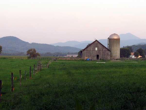
A good long stretch of pastoral dirt roads; past farms, along Winooski and Mad Rivers. Rte 100B is paved state road with wide shoulders, officially recognized as a scenic byway. Lovers Lane ('nuff said).
Map 8: Moretown, Waterbury, Duxbury
Historic Waterbury’s Main Street is tree lined with a mixture of older homes and businesses. Cross Vt Trail route is signed on sidewalk. To the west is a mile long community path between the Winooski River and farm fields. US Rte. 2 east of Waterbury is a paved road with narrow shoulders and at times heavy traffic.
Map 9: Duxbury, Bolton, Richmond
An old-time Vermont road along the Winooski River. Enjoy dramatic views at the DeForge Hydroelectric Station Recreation Area. Route passes trailheads for Camel's Hump and for Warren and Ruth Beeken Rivershore Trail. Paved town road at either end with a four mile gravel section in the middle.
Map 10: Richmond, Williston
Calendar quality views looking east to the ridge of the Green Mountains, and in some places west to Adirondacks. Ride includes the Johnnie Brook Road Trail, a pleasant pastoral trail running between woods and fields, and the paved, multi-use Williston Village Bike Path. The Mouth of the Winooski River Loop can be accessed from this section. Also, about 4 miles on unpaved town roads and 1.75 miles on paved roads with narrow shoulders.
Map 11: Williston
Classic "neighborhood to school to shops" bike path network. Route travels on the Williston Village Bike Path, a paved, multi-use path, and along quiet, neighborhood streets. The Allen Brook Nature Trail is along this section.
Map 12: Williston, South Burlington, Burlington
Community paths connecting parks, schools, and neighborhoods; some quiet natural areas. Burlington's Oakledge Park, Lake Champlain beaches, Burlington Earth Clock, and a really big treehouse! Paths include Champlain Parkway Path, Island Line Trail, Marshall Avenue Bike Path, and South Burlington Recreation Path. A few sections are on city roads.
Trail Loops
Map 1: Wells River Village
Make a day trip out of scenic country roads around Village of Wells River, including the Bayley-Hazen Road of Revolutionary War fame. Unexpected history of this road, and further trips to explore, described in the Bayley-Hazen brochure.
Maps 10-12: Mouth of the Winooski River
Visit a string of parks and trails along the Winooski River between Williston and Burlington. Leads to "mouth of the river" where the Winooski ends at shores of Lake Champlain.
It is mud season in Vermont. Even if a trail is marked as open, pay attention to trail conditions. If you encounter mud or ice, turn around. Come back once the trail has had time to dry out.
Success! A new password has been emailed to you.