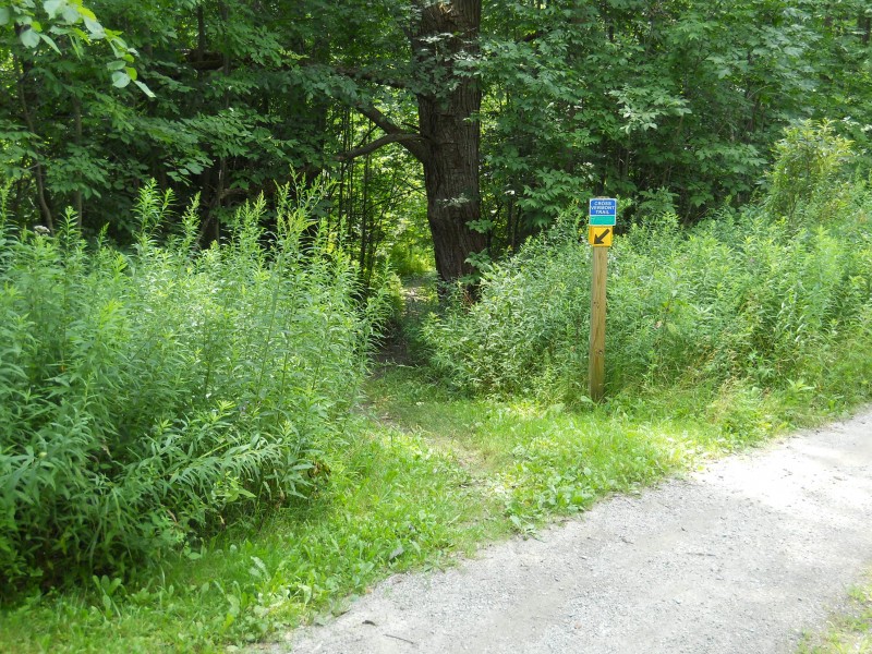
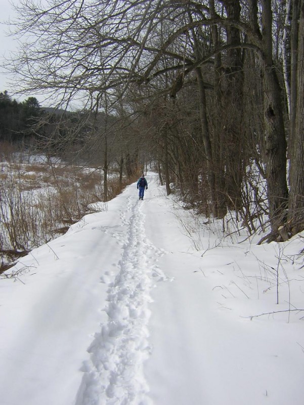
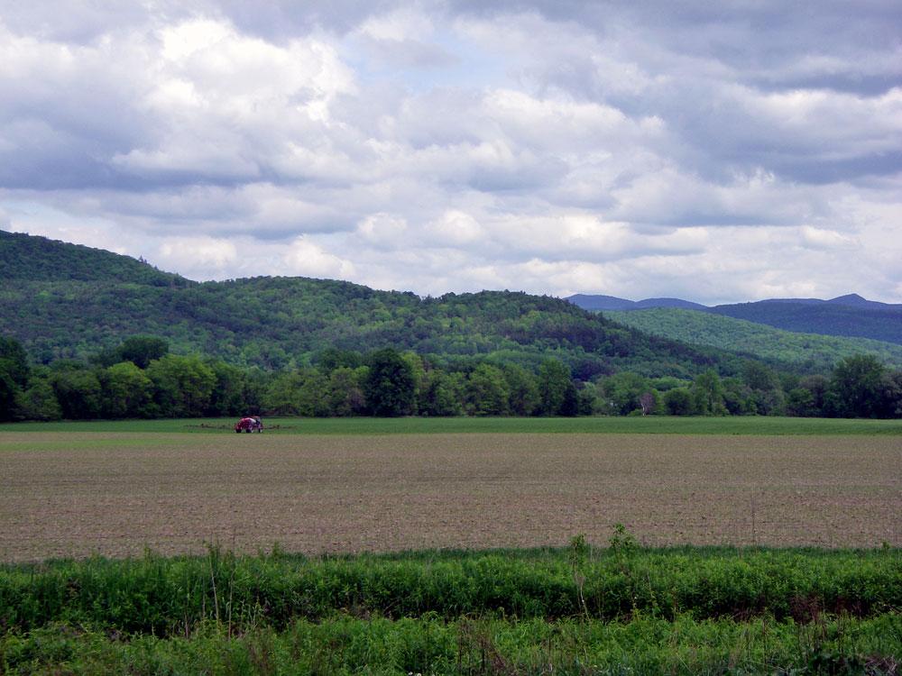
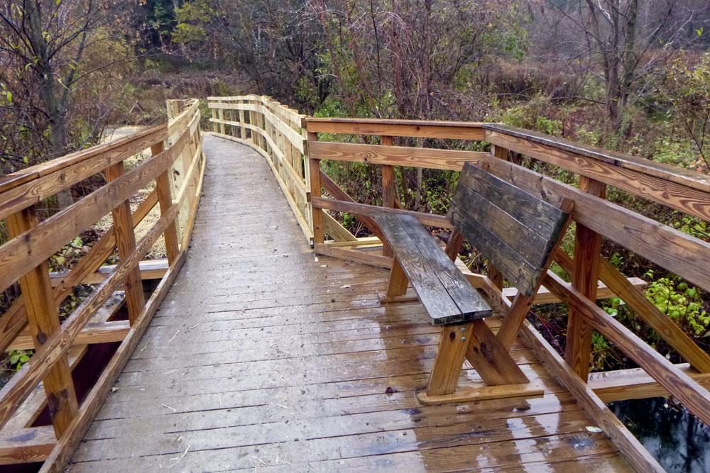
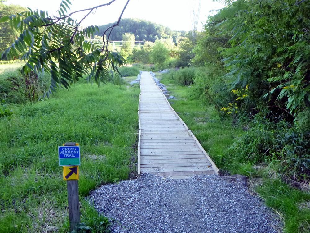
This trail follows an old road bed between Huntington Road and the maintained (unpaved) part of Johnnie Brook Road. It is designated part of the Cross Vermont Trail, providing a link in the section from Richmond Round Church to the east and Williston to the west. The actual trail runs between woods and fields, and crosses Johnnie Brook at its midpoint.
The Cross Vermont Trail is a project to build a multi-use, four season path across the width of Vermont; following the Winooski River valley and the Wells River valley.
Visit Town of Richmond online for more information or contact:
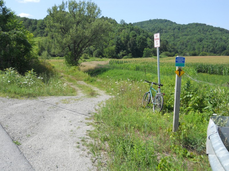
Richmond Trails CommitteeThis trail is a link in the Cross Vermont Trail from Richmond to Williston and does not have distinct endpoints where you could park a car. (See note on parking below.) At the northwest, it links with the town-maintained (unpaved) part of Johnnie Brook Road - a sharp turn south beside the Winooski River just west of where Route 2 crosses the Winooski River. After 1.2 miles, Johnnie Brook Road turns into a driveway. Where the driveway takes a sharp right ('trailhead'), continue straight, downhill, on the old town road. At the south-east the Trail starts on Huntington Road about 0.6 miles west of the Richmond Round Church ('trailhead').
To remain on the Cross Vermont Trail, going east, stay on Huntington Road, to the Richmond Round Church, and then take Cochran Road towards Duxbury. To go west, take a left on Route 2 at the end of Johnnie Brook Road, towards Williston, then right on Governor Chittenden Road at the foot of French's Hill.
No parking available at trailheads. Both ends of the actual trail are actively used by farm and residential traffic, and would be blocked by parked cars. Please do not park at these points. Doing so would obstruct users of the town road.
There is parking at the Volunteer Green in Richmond (just north of the Winooski River Bridge). Also, on the maintained section of Johnnie Brook Road there are some pull-outs used for fishing, etc. Richmond 'Park-and-Ride' is about a half mile from the Route 2/Johnnie Brook Road intersection.
Success! A new password has been emailed to you.