The solar eclipse is coming on April 8th! Learn more about where you can go to view the eclipse and other useful tips.

White Rocks

This trail links the White Rocks Picnic Area with the Long Trail, which leads to the summit of White Rocks Mountain and White Rocks Cliff.
Trail Activity
Hiking
Length
1.70 miles, One Way
Difficulty
Moderate
Town
Wallingford (VT)
Surface
Packed Earth/Dirt
Pets
Permitted
Fees
No

Description

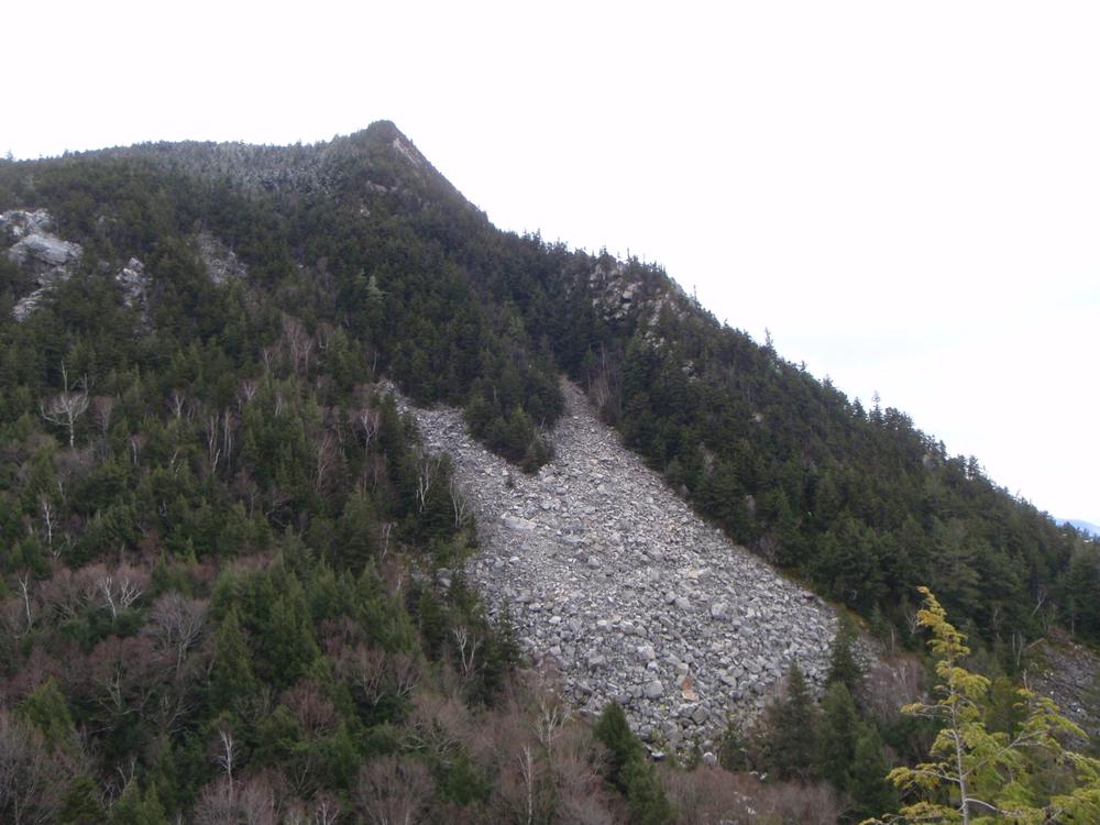
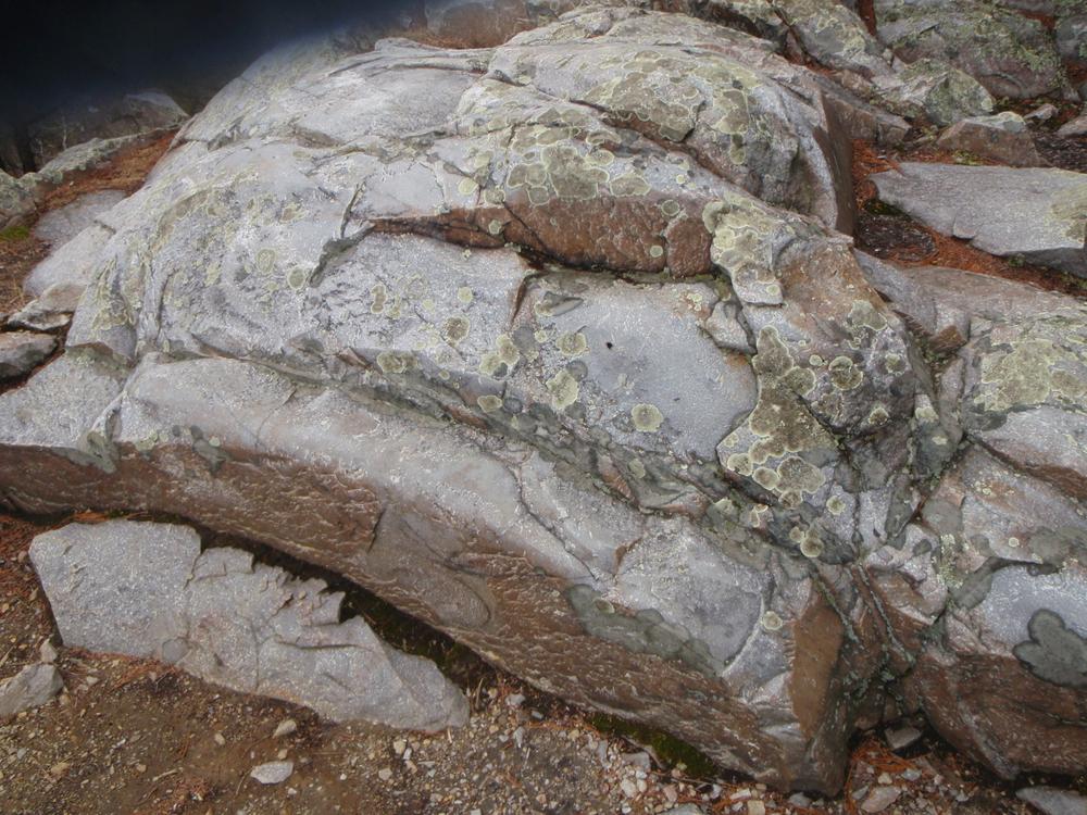
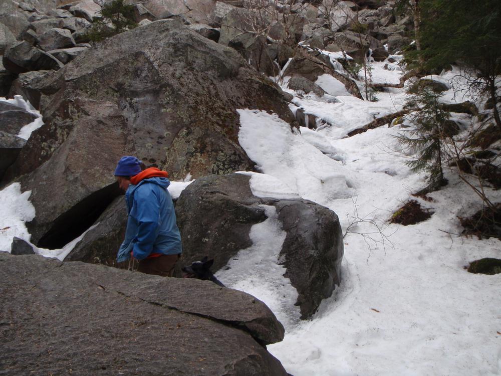
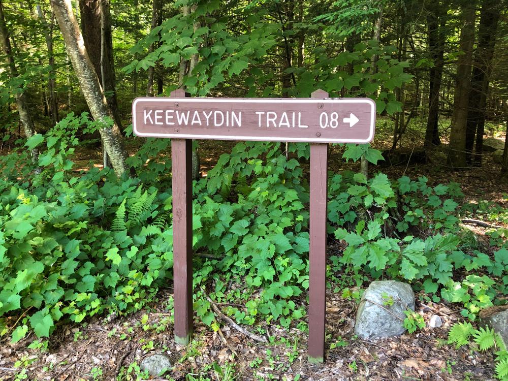
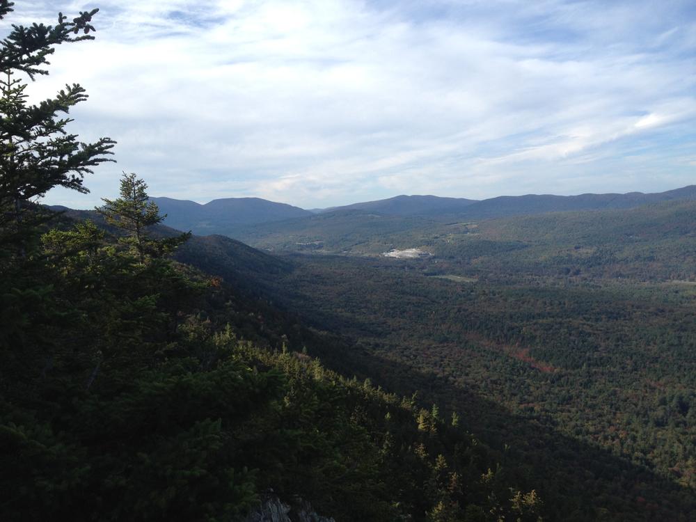
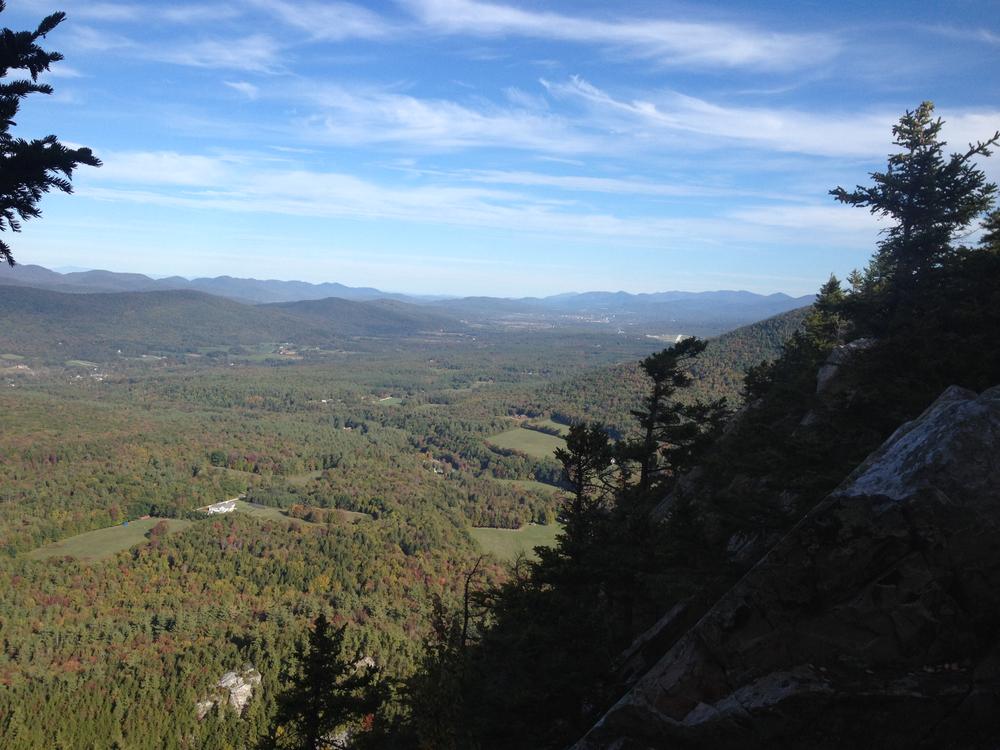
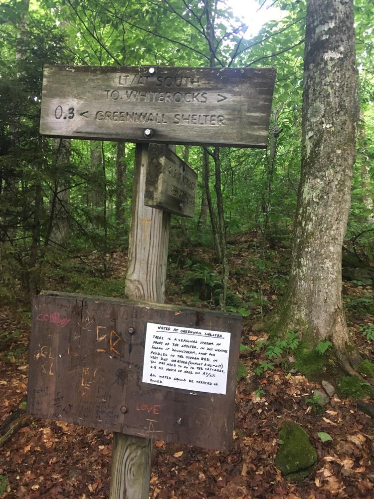
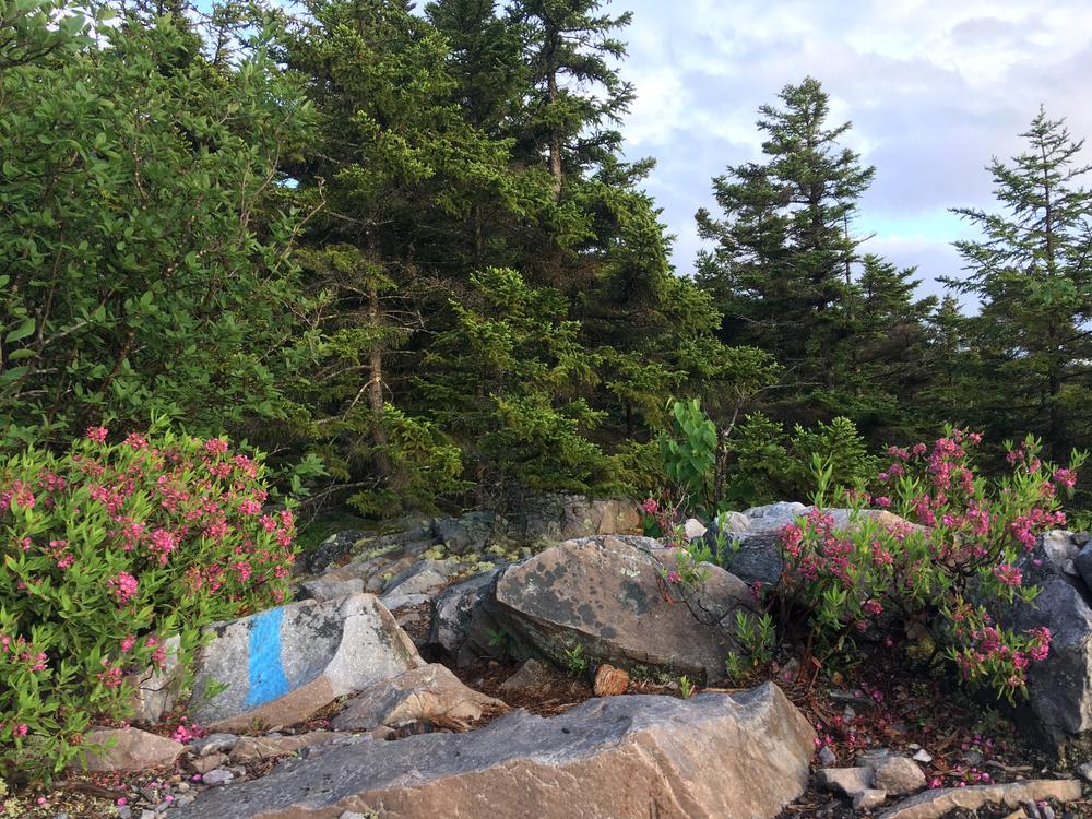
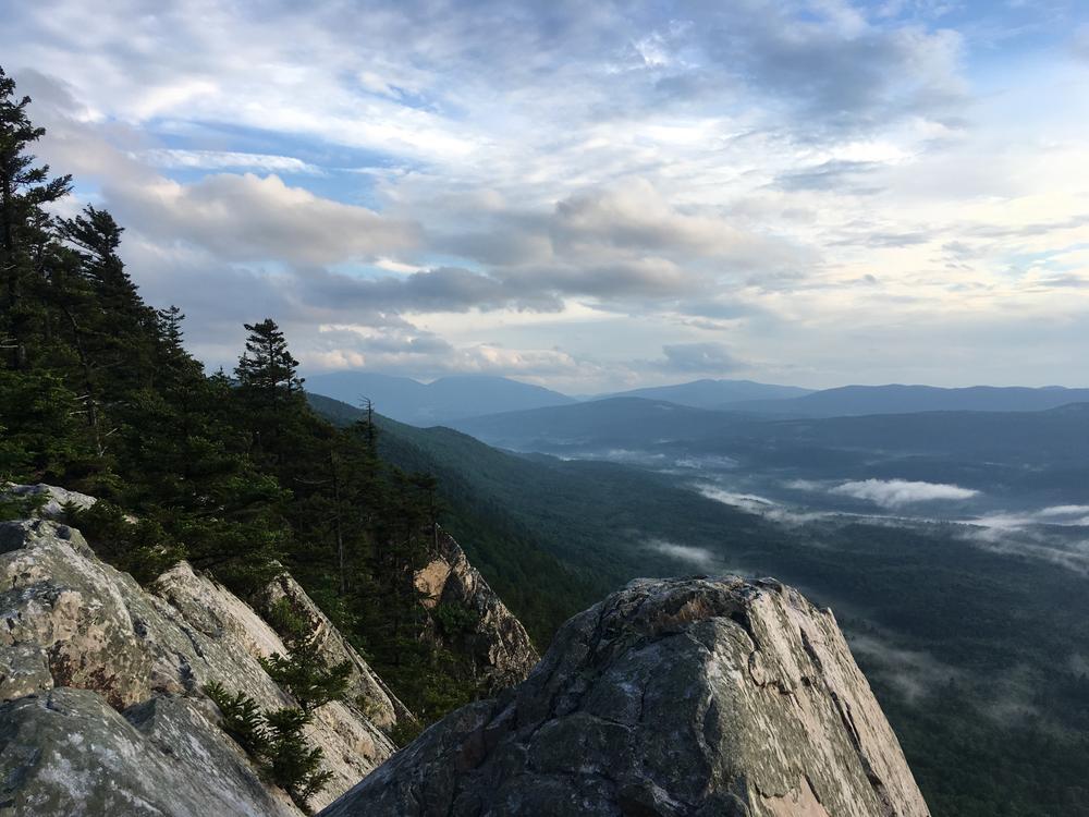
From the White Rocks Picnic Area follow the blue-blazed trail to ascend to the Long Trail (0.4 miles). Turn right, south, off the Keewaydin Trail onto the Long Trail (LT) South. The LT climbs steeply, high above Bully Brook. The trail then ascends out of the mixed hardwood forest to cross a small stream. Turning sharply to the right and swinging around a spruce- and hemlock-covered promontory, the trail continues its steady climb to reach Greenwall Shelter Spur (0.6 miles). Do not take spur but continue on LT. The LT turns sharply and ascends gently to a junction on the right with the White Rocks Cliff Trail at a large stone cairn (0.9 miles). The trail descends from the LT to an outlook with dramatic views on the very brink of White Rocks Cliff (1.6 miles).

Other Information

The cliffs are a peregrine falcon nesting site, and may be closed to the public during nesting season.

Trail Manager

For additional information, visit the Green Mountain Club website, or contact:

Green Mountain National Forest: Supervisor's Office - Rutland

Green Mountain National Forest: Supervisor's Office - Rutland
231 North Main Street
Rutland, VT 05701
Phone: (802) 747-6700
View website

Green Mountain Club

Green Mountain Club
4711 Waterbury-Stowe Rd.
Waterbury Center, VT 05677
Phone: (802) 244-7037
gmc@greenmountainclub.org
View website

Trail Tips

Plan Ahead and Prepare
Visit busy trailheads mid-week to avoid crowds.
Legend
Hide All

Trailhead Information

From US-7 in Wallingford, follow VT-140 east. Turn south onto Sugar Hill Road (2.3 miles) then turn right onto White Rocks Picnic Road (USFS Road 52) (2.4 miles), and continue to the picnic area and parking (3.0 miles).

Click on a parking icon to get custom directions
Please Log In or Create Account to add comments.
These awesome businesses support our goal of connecting people to outdoor adventures!
Hang Tight!
Nearby services are loading
No Results
No Services Found
SHARE THIS TRAIL

Add Trail Log

Please wait…
Join In on the Fun!
Log in or create an account below to unlock all the great features of Trail Finder: keep track of trails you want to do, preserve memories of trails you’ve done, earn badges, and more!
Your log in attempt was not successful. Please try again.
    Lost your password? Reset your password
    Don't yet have an account?
    There was an issue with your submission. Please try again.
      * Indicates required field
      Already have an account? Login here
      Enter your username, and we will send you a new, randomly generated password to your email account.
      There was an issue with your submission. Please try again.

        Success! A new password has been emailed to you.

        Log in now

        Please wait…