The solar eclipse is coming on April 8th! Learn more about where you can go to view the eclipse and other useful tips.

New Hampshire Metacomet-Monadnock Trail

The NH Metacomet-Monadnock Trail is a footpath that follows the height-of-land from the Massachusetts border to the top of Mt. Monadnock.
Trail Activity
Hiking Snowshoeing
Length
17.50 miles, One Way
Difficulty
Moderate, Advanced, Strenuous
Towns
Fitzwilliam (NH), Jaffrey (NH), Richmond (NH), Troy (NH)
Surface
Packed Earth/Dirt, Gravel/Crushed Stone/Cinder, Rock/Ledge, Boardwalk/Bog Bridging
Pets
Permitted on leash
Fees
No

Description

The New Hampshire Metacomet-Monadnock (NHMM) Trail is an 18-mile hiking route that has been in existence for over half a century. The NHMM passes through four communities in New Hampshire, and extends from the Massachusetts/New Hampshire state line to the summit of Mt. Monadnock in Jaffrey, NH.

The NHMM is a vital link between the New England Trail and trails that can take the hiker further north in New Hampshire. This link permits a hiker to walk on trails from the seacoast of Connecticut to Ragged Mountain, 10 miles north of Mount Sunapee.

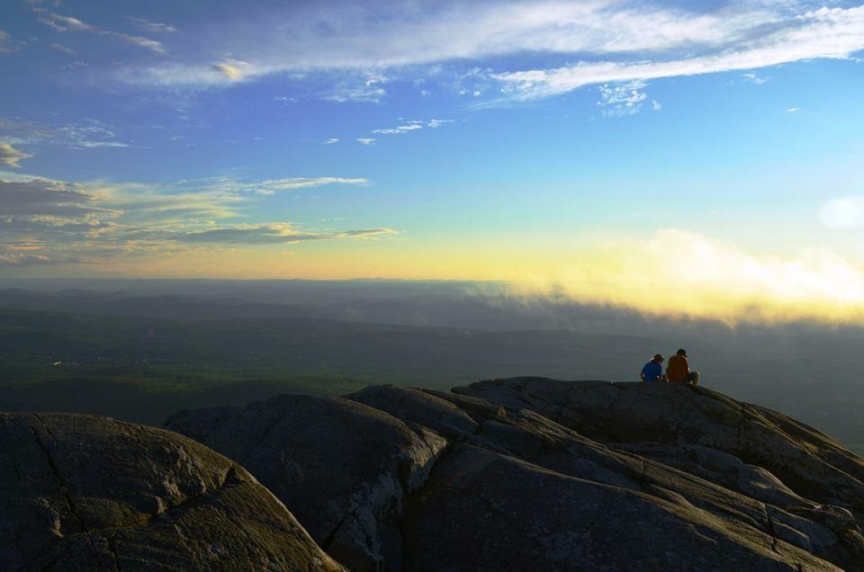
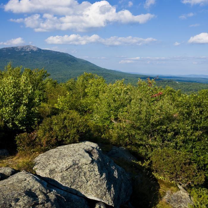
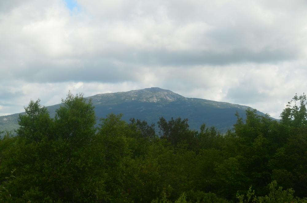
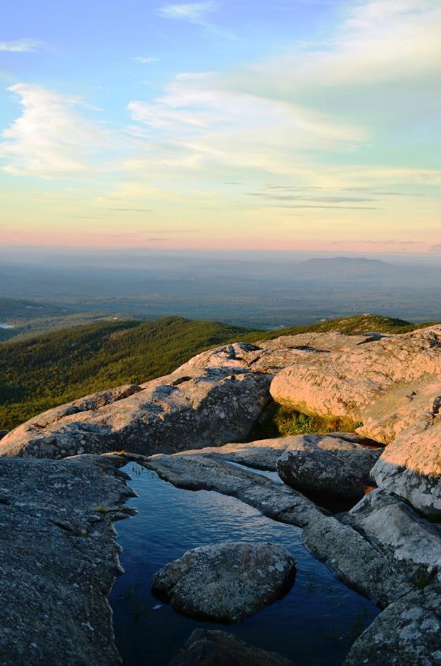
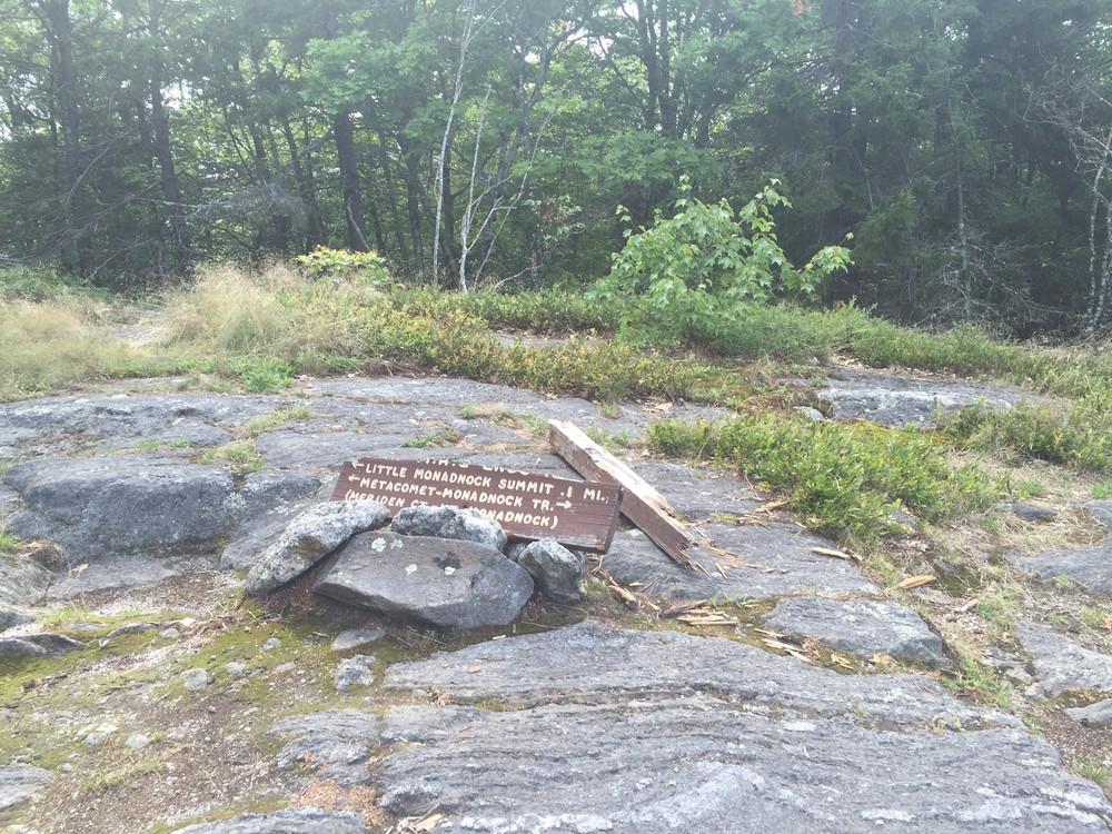
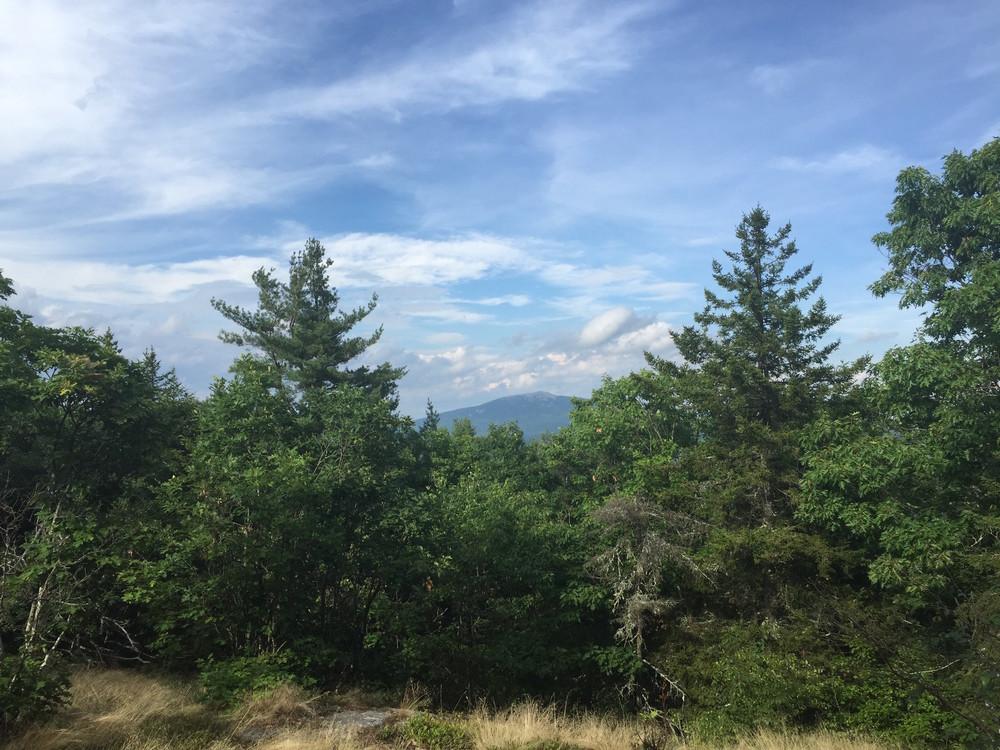
The NHMM trail takes the hiker across three peaks, Little Monadock, Gap Mountain, and the goal of the through hiker, the summit of Grand Monadnock.

Detailed trail section descriptions are available on the NHMMTrail.org website.

Other Information

The NHMM Trail crosses both public and private land and for much of the private land it is there with the revocable permission of the landowner. Please follow the rules of the trail:

  • Respect the rights of landowners along the trail
  • Carry out whatever you carry in
  • No fires or camping
  • Keep on the marked trail
  • If you see trash, pick it up and carry it out
  • If you see misuse of the trail, report it

Trail Manager

The NHMM Trail is administered in NH by both the Appalachian Mountain Club, and the Forest Society. The Berkshire Chapter of the AMC manages the trail from the NH/MA border to Fern Hill in Jaffrey, NH, and the Forest Society manages the trail from Fern Hill to Mount Monadnock in conjunction with Monadnock State Park.

Society for the Protection of New Hampshire Forests

Society for the Protection of New Hampshire Forests
54 Portsmouth Street
Concord, NH 03301
Phone: (603) 224-9945
info@forestsociety.org
View website

New Hampshire State Parks

New Hampshire State Parks
172 Pembroke Road
Concord, NH 03301
Phone: (603) 271-3556
nhparks@dncr.nh.gov
View website

Appalachian Mountain Club - Berkshire Chapter

Appalachian Mountain Club - Berkshire Chapter
National Scenic Trail Planner
Phone: 413-835-4591
blikely@outdoors.org
View website

Trail Tips

Travel on Durable Surfaces
If your bike tires make an indent on the trail surface, it is too wet to ride. Come back when the trails have dried out.
Legend
Hide All

Trailhead Information

There are many trailheads that provide access to the NH Metacomet-Monadnock Trail. For full access descriptions, please check out the trail descriptions on NHMMTrail.org.

Northernmost Trailhead Parking: (The northern terminus of the NHMM trail is the summit of Mount Monadnock. These directions are to the northernmost direct trail access) From the town of Jaffrey, drive northwest on NH-124/Main Street for 5.9 miles. Turn left onto Bullard Road and continue for 0.6 miles. Parking is available on the left.

Southernmost Trailhead Parking: (The southern terminus of the NHMM trail is at the NH/MA state line. These directions are to the southernmost direct trail access) From the junction of NH-32and NH-119 in Richmond center, drive 1.8 miles south on NH-32 and turn left onto Greenwoods Road. A small parking area with room for 3 cars is located just off the road. Do not attempt to reach Greenwoods Road via Monument Road.

Click on a parking icon to get custom directions
Please Log In or Create Account to add comments.
These awesome businesses support our goal of connecting people to outdoor adventures!
Hang Tight!
Nearby services are loading
No Results
No Services Found
SHARE THIS TRAIL

Add Trail Log

Please wait…
Join In on the Fun!
Log in or create an account below to unlock all the great features of Trail Finder: keep track of trails you want to do, preserve memories of trails you’ve done, earn badges, and more!
Your log in attempt was not successful. Please try again.
    Lost your password? Reset your password
    Don't yet have an account?
    There was an issue with your submission. Please try again.
      * Indicates required field
      Already have an account? Login here
      Enter your username, and we will send you a new, randomly generated password to your email account.
      There was an issue with your submission. Please try again.

        Success! A new password has been emailed to you.

        Log in now

        Please wait…