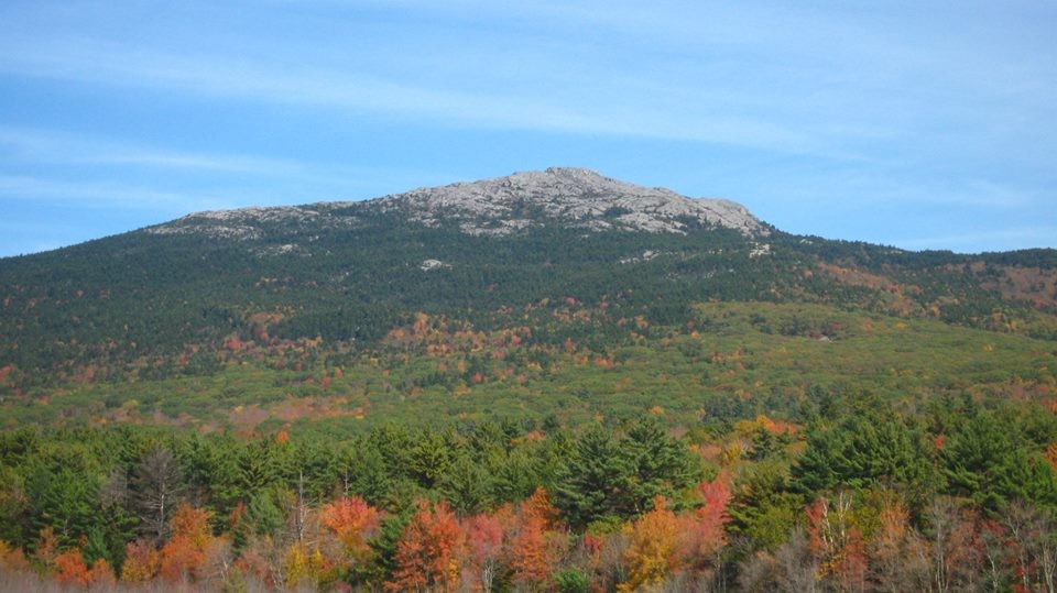
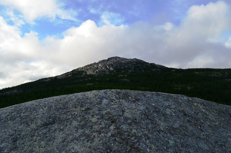
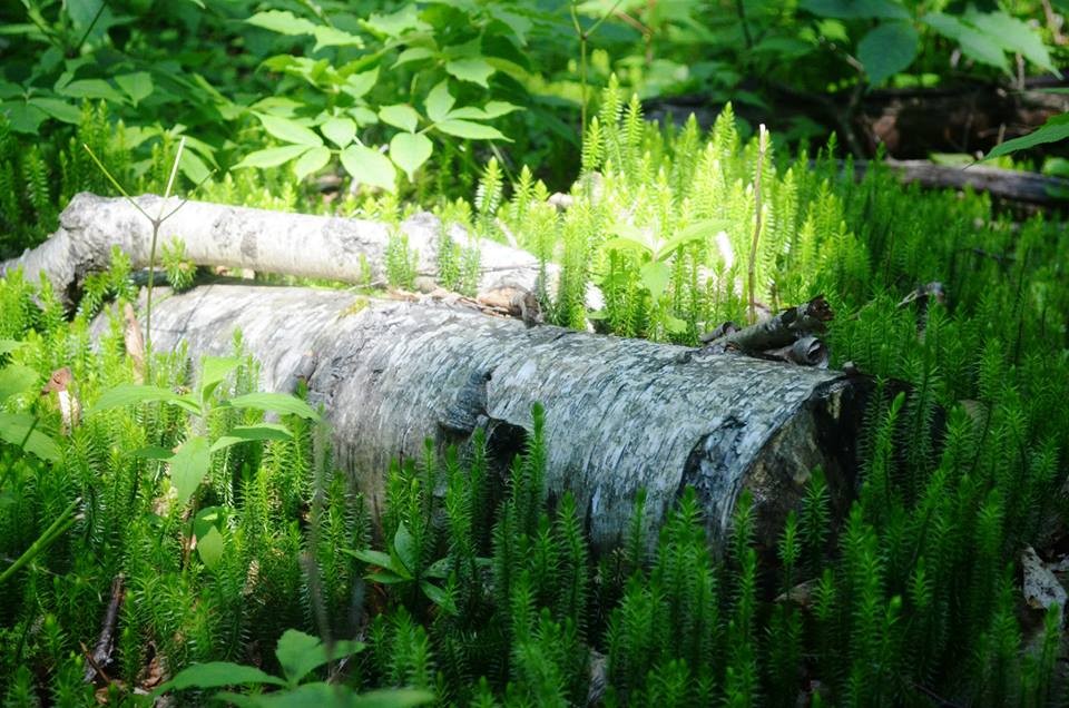
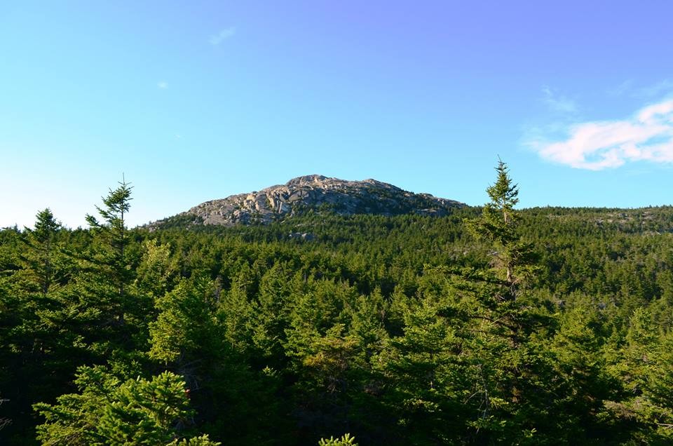
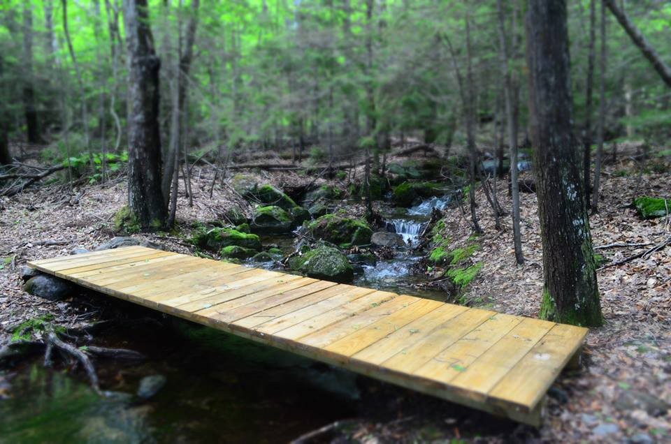
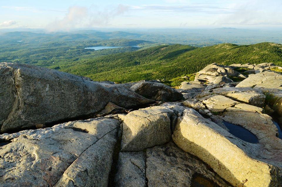
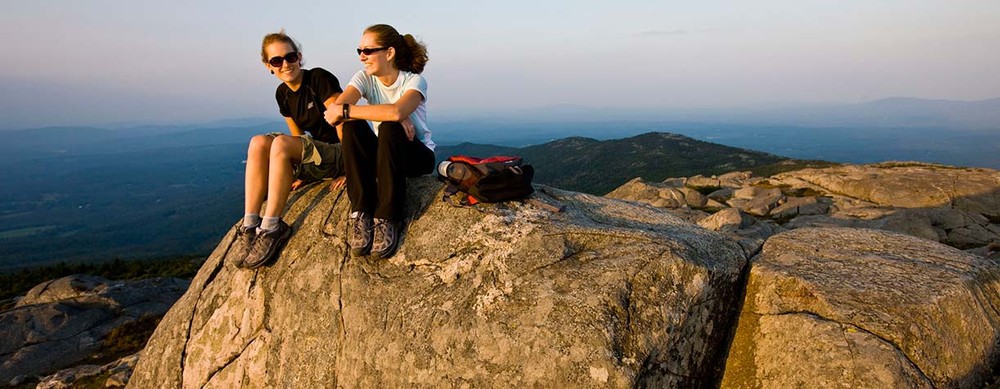
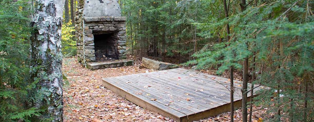
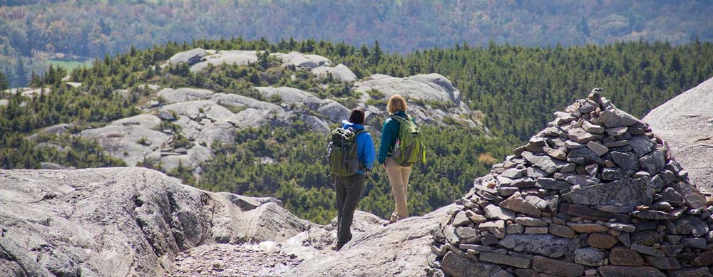
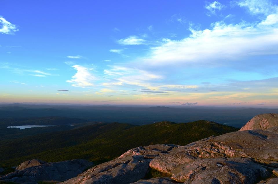
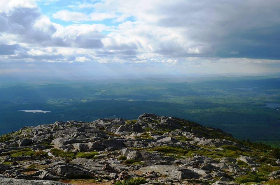
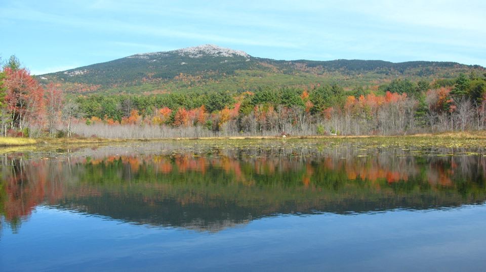
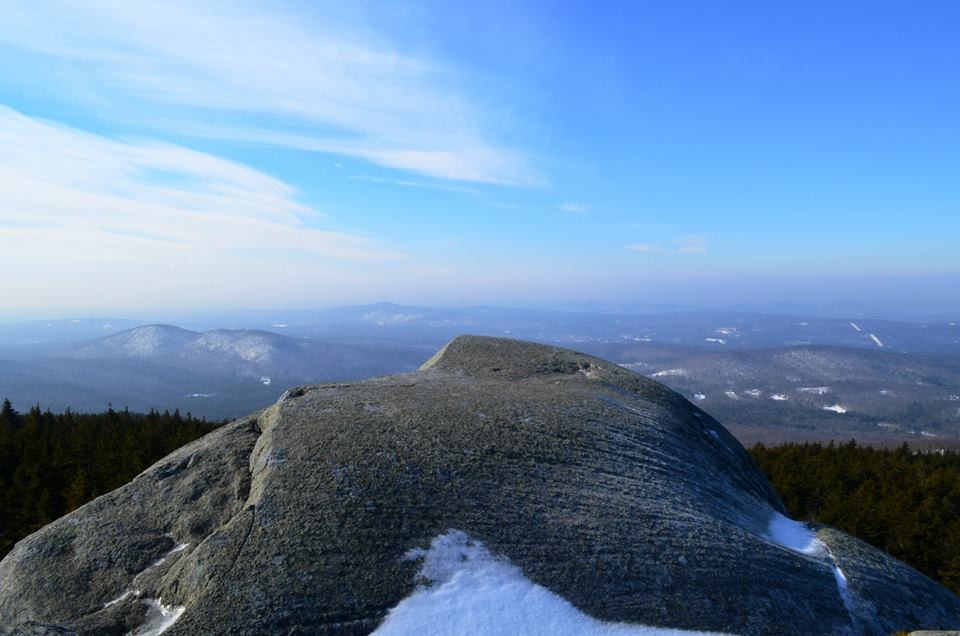
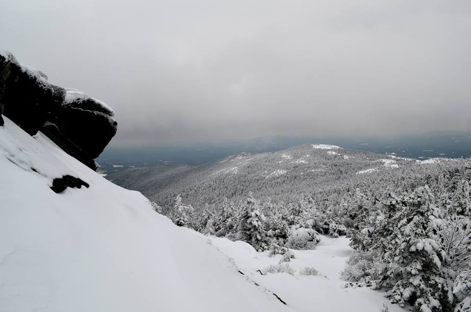
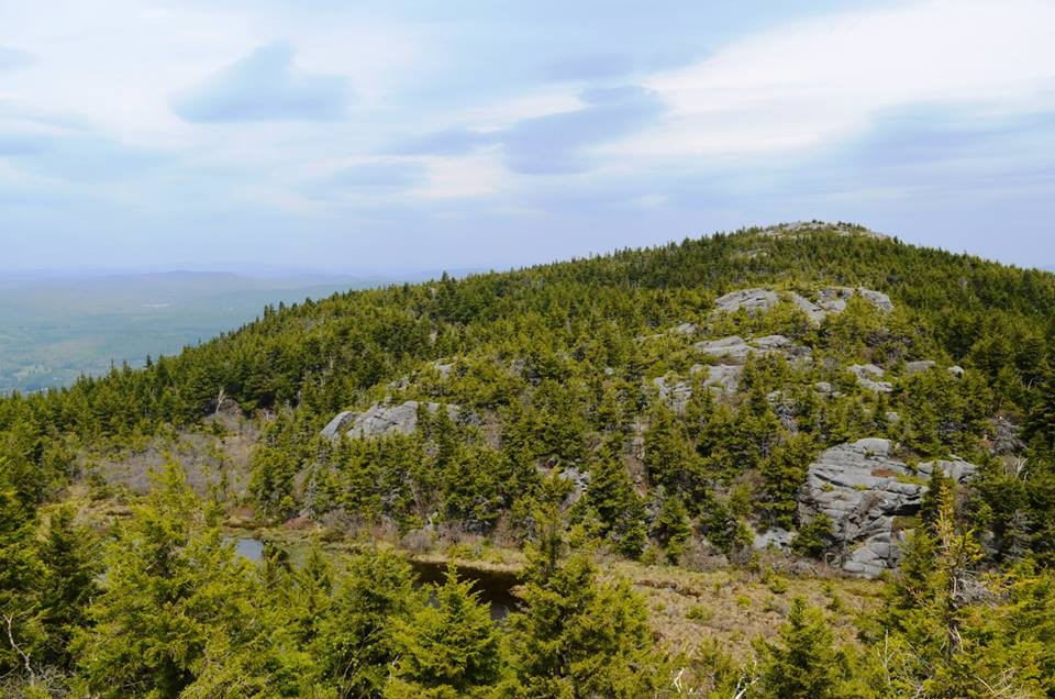
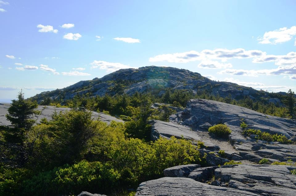
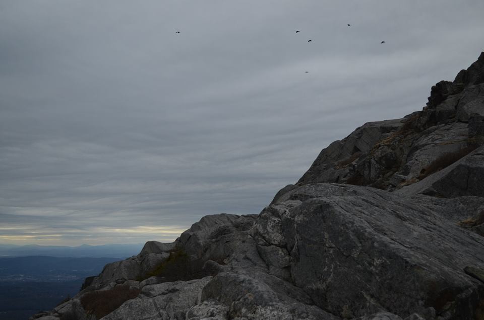
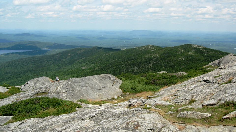
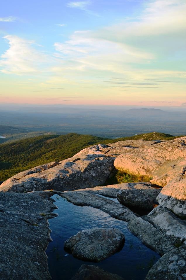
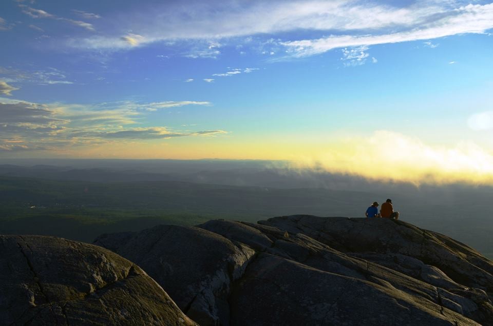
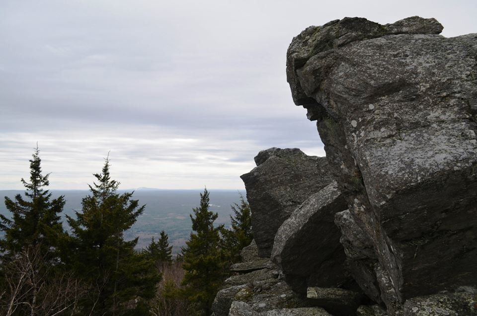
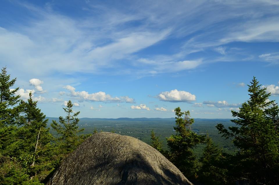
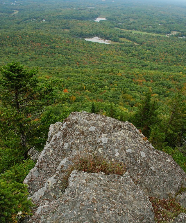
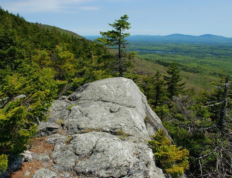
A mecca for hikers for over 150 years, Mount Monadnock is commonly touted as the most climbed mountain in the Western Hemisphere. With a deep history, ties to the arts, and a myriad of hiking trails, Mount Monadnock is hiked by over 100,000 people every year. The word "monadnock" originally comes from the Abnaki Indian language, loosely translating to "mountain that stands alone." The mountain's views from the treeless summit stretch far into the distance into the surrounding states of Vermont, Massachusetts, and Connecticut. Boston and the White Mountains are visible on a clear day. While local lore states that the summit vegetation was purposefully burned off by local farmers to drive out wolves, there is no evidence to support the claim. In all likelihood, the unnatural tree line was caused by naturally occurring fires prior to 1800.
There are several direct routes to the summit of Mount Monadnock, most of which take 3-4 hours roundtrip:
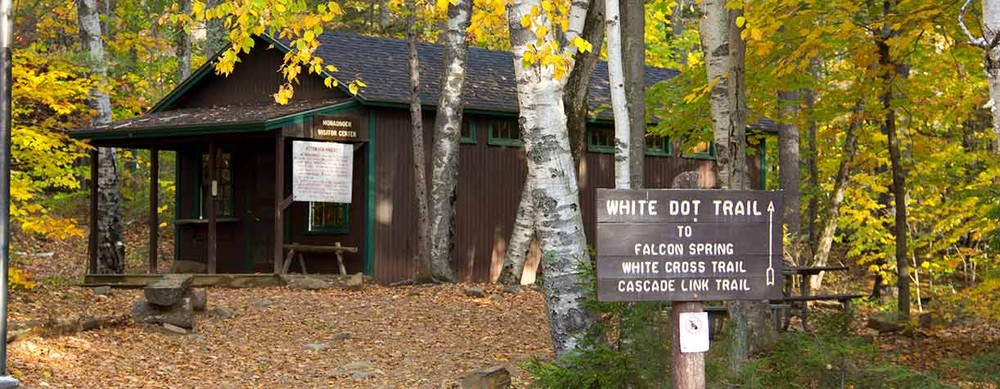
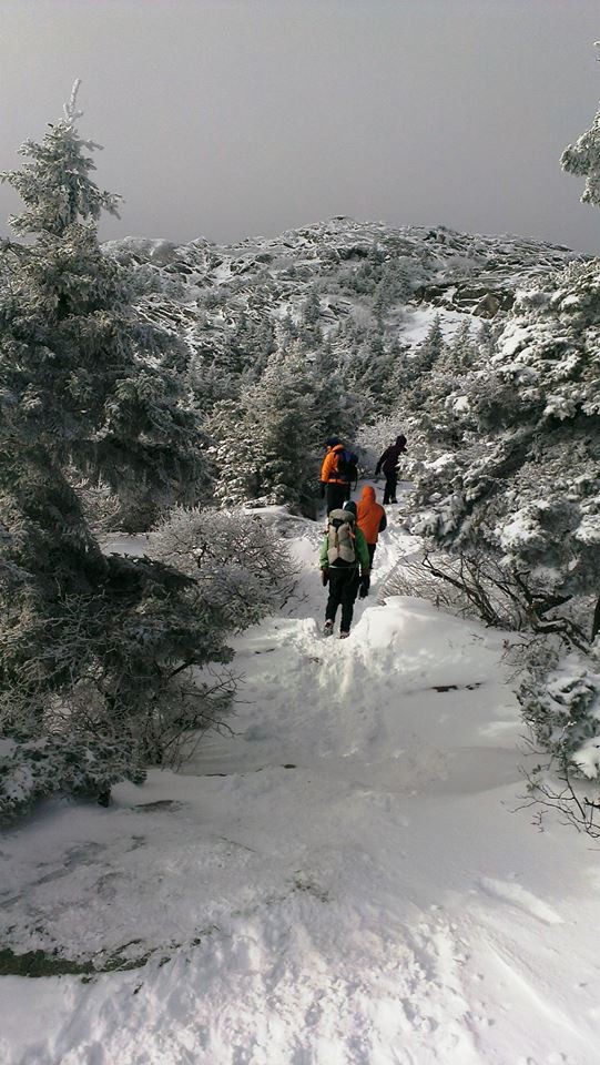
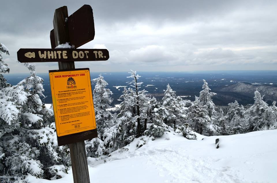
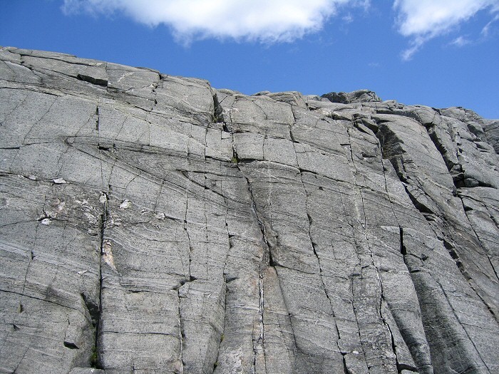
White Dot Trail (from Park Headquarters): (1.9 mi, 3-4 hours roundtrip) This is shortest, most direct route to the summit. The trail is steep and rugged, particularly in its middle section and final approaches to the summit. It is by far the most used trail on the mountain and on a busy day you will have company heading up the mountain. This trail passes through mixed forest, over steep and exposed ledge, and features many viewpoints. Hikers often use the neighboring White Cross Trail for descent back to State Park Headquarters.
White Cross Trail (from Park Headquarters): (2.1 mi, 3-4 hours roundtrip) From Headquarters, the White Cross Trail is mostly less steep than the slightly shorter White Dot Trail with a few steeper spots that offer some views. The White Cross Trail separates from the White Dot 0.6 miles from the Headquarters, and then re-joins it 0.3 miles from the summit, shortly before the last steep climb to the top. Typically used for descent, the trail passes through an area burned over in 1953, now recovering to a forest of young birch, and through woods and ledges.
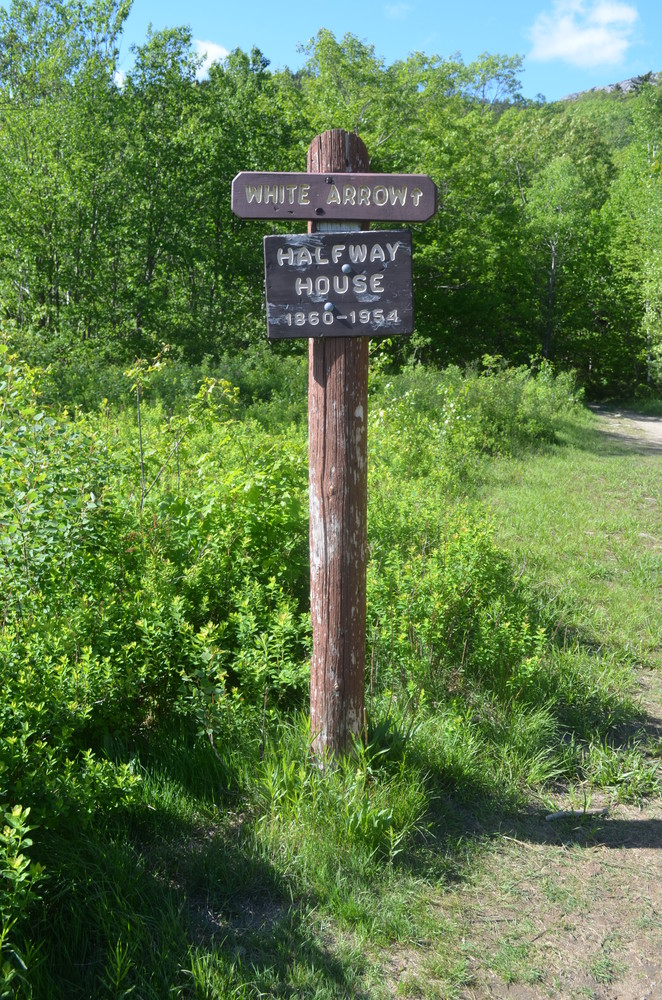
Old Toll Road/White Arrow Trail (from Route 124 Old Toll Road Trailhead): (2.2 mi, 3-4 hours roundtrip) This hike starts with a road walk up the Old Toll Road for about 1 mile, and then turns into a rocky trail where the road turns to a private residence. The packed dirt and gravel Old Toll Road is a mostly gradual one mile long path, now closed to civilian automobile traffic. About 50 yards from the top of the Road is a clearing which is the former site of the Mountain House/Old Half Way House summer hotel, which burned down in 1954. The White Arrow Trail begins on the opposite side of entry of the hotel site. Likely the oldest hiking trail on the mountain, the White Arrow Trail is 1.1 miles long, up moderate-to-steep grades to the summit, affording many fine views before the top.
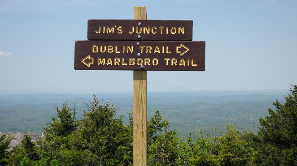
Marlboro Trail (Access on Shaker Farm Road is not recommended for low to mid level clearance vehicles. It is not maintained in the winter.): (2.1 mi, 3-4 hours roundtrip) The Marlboro Trail is one of the oldest trails on the mountain; although the route became lost in the 1920s, the route re-opened up a slightly different course soon after its re-discovery. The steepest of the main trails to the summit and blazed with painted M's, it begins at easy grades through a forest maturing from pasture and then heads up on moderate to steep grades, passing open ledges with views, and continuing easterly up the mountain through spruce before ascending on ledges with views. The trail gets steep before cresting a bare ridge where the grade eases with 180º views and then joins the Dublin trail for 0.2 miles to reach the summit. Hikers descending from the summit should look for the painted "D/M" markings. The Marlboro Trail splits from the Dublin Trail at the signed "Jim's Junction".
Dublin Trail (Access on Old Troy Road is not maintained in the winter): (2.4 mi, 3-4 hours roundtrip) The Dublin Trail (formerly known as the Farmer Trail and the Darling Trail) is also one of the oldest paths on the mountain, and is considered one of the least difficult trails to the summit. The trail, blazed with white rectangles, becomes more rocky and heads uphill through a forested ridge and the forest changes from hardwood to spruce a short way up. The path starts to become exposed ledge with views; from the Marlboro junction the path continues on ledge along a gully and to the open barren summit cone. Hikers descending from the summit should look for the painted "D/M" markings. The Dublin Trail splits from the Marlboro Trail at the signed "Jim's Junction".
Parking is extremely limited for the Dublin and Marlboro trails. The only way to ensure that you will have a place to park is by making a reservation at a staffed entrance.
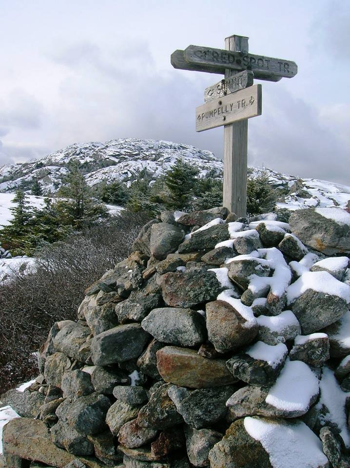
Pumpelly Trail (from East Lake Road, no parking lot, extremely limited road side parking available): (4.4 mi, 7 hours roundtrip) First opened in 1884 and the longest trail to Monadnock's summit, the present day path starts on private property, and goes over rolling terrain for the first 1.8 miles, and then climbs steeply up to the first viewpoint at the halfway point. The trail follows the North Ridge of the mountain and continues through spruce and past some open spots along the way, including passing over "Town Line Peak", which separates the towns of Dublin and Jaffrey. For the last mile to the summit the Pumpelly Trail goes over a mostly exposed ridge with wide open views along the way.
Birchtoft Trail/Red Spot Trail (from Gilson Pond Campground): (3.5 mi, 5-6 hours roundtrip) The Birchtoft Trail, blazed in red rectangles, comprises of the first 2.1 miles of this route, along easy, gradual grades. At the end of the Birchtoft Trail, the route briefly joins onto the Cascade Link before splitting onto the Red Spot Trail. Blazed with red circles outlined in white, the Red Spot trail is a steady 1 mile rocky climb up the east flank of the mountain. The Red Spot Trail ends at a junction with the Pumpelly Trail. The Pumpelly Trail makes up the remaining 0.4 miles to the summit.
There are also a few side trails and more challenging footpaths that cross the mountain and allow for connections between trails:
Parker Trail (from Park Headquarters): This trail, blazed with yellow rectangles, follows gentle grades for 1.4 miles, from the Headquarters to the Old Toll Road. The trail begins at the back end of the State Park picnic area where it passes the south end of Poole Reservoir and through an area known as Mead’s Orchard. At 0.6 miles, the Parker Trail passes the Lost Farm Trail juntion through woods, passing a vernal stream and then the glacial erratic Hunter's Rock. After passing the Cliff Walk Trail at 1.2miles, this trail reaches the Old Toll Road, which can be taken to the summit or to create a return loop via one of the trails on the east side of the Half Way House site and the Cliff Walk/Lost Farm Trails.
The Parker Trail can also be taken in reverse, accessing it from the Old Toll Road, 0.6 miles from the parking lot.
Lost Farm Trail (from Park Headquarters, Parker Trail): This trail is easy to follow and is a longer route to the summit via Bald Rock. The Lost Farm Trail leads north uphill from the Parker Trail 0.6 miles from the Headquarters. The 1.1 mile path, blazed in white rectangles, heads up on moderate grades through a hardwood and then a spruce forest. Shortly before reaching the Cliff Walk, there is a fine viewpoint from open ledge that resembles a slide. The Cliff Walk leads to Bald Rock, from which there are a few options to summit.
Cascade Link (from Park Headquarters, White Dot Trail): This 1.3 mile long trail traverses the east side of the mountain, connecting the Pumpelly Trail and the White Dot Trail, junctioning with the Harling Trail, Birchtoft Trail, Red Spot Trail, and Spellman Trail. Blazed in yellow circles, this link can be used in conjunction with the major trails to make longer loop hikes to/from the summit. Leaving the White Dot Trail adjacent from Falcon Spring, the path winds through some spruce, passing the Harling Trail at 0.1 miles, then winding through a birch forest. It then begins a gradual ascent, paralleling and crossing through the Ark Brook. About a half mile from the White Dot, the Cascade Link passes the Birchtoft Trail, then curves past the Red Spot Trail junction. Shortly after, the Spellman Trail junction can be found (0.2 miles). The remaining 0.7 miles of trail is a gradually ascending route, featuring some select easterly views and passing Eveleth Brook. The Cascade Link ends at the Pumpelly Trail, 1.4 miles below the summit.
Spellman Trail (from Park Headquarters, via White Dot/Cascade Link): This trail is advised for ascending instead of descending and should not be traveled if wet or icy. The steepest climb on the mountain is located at the trail’s middle section which then leads to Pumpelly Trail, located north of the Sarcophagus. The distance from where Spellman Trail departs Cascade link and connects with Pumpelly is 0.6 mi. and takes about 35 minutes to hike. The trail beginning affords and easy grade which then turns left towards a steep pitch and then follows a brook, turns right and follows an easy grade again for a bit. Great views of the east can be seen after a bit of scrambling over ledges and boulders. Soon before reaching Pumpelly Trail, you can expect a moderate grade climb through spruce woods.
Hinkley Trail/Harling Trail (from Park Headquarters or Gilson Pond): The Hinkley Trail (1.2 miles) is a gentle, wooded hiking trail that connects the Headquarters Area to the Gilson Pond Area via the Birchtoft Trail. From the Headquarters Area, the trail leaves from Poole Road (park in the main Headquarters lot), just east of the Park Manager Residence. Marked in yellow blazes, the trail parallels the Ark Brook during the southern half. At 0.6 miles, the Hinkley turns right at the junction with the Harling Trail, and crosses the Ark Brook. The remaining trail is a continued gentle wooded hike until it terminates at the Birchtoft Trail, about 1 mile from the Birchtoft trailhead at Gilson Pond.
Hikers could opt for taking the Harling Trail up the mountain from its junction with the Hinkley Trail. The Harling Trail ascends gradually up the south east side of Monadnock, with some moderately steep sections. The Harling Trail extends 0.7 miles and ends at the Cascade Link, only 0.1 miles from the White Dot Trail and Falcon Spring. A loop to Headquarters can be made by descending the Cascade Link and White Dot Trail.
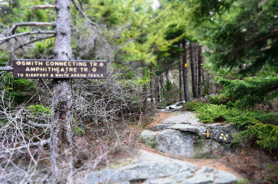
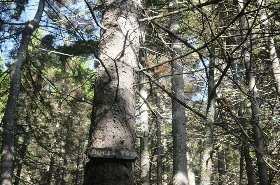
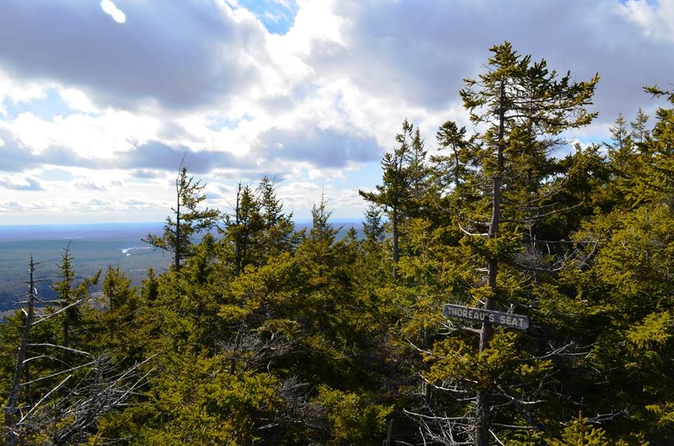
Cliff Walk/Smith Connecting Trail (from Old Toll Road, via Parker Trail): The Cliff Walk Trail begins at the junction with the Parker Trail, 0.3 miles from the Old Toll Road. The Cliff Walk begins climbing the mountain steadily from the Parker Trail and includes a steep ascent up a wooden ladder. At 0.6 miles, the Cliff Walk junctions with the Hello Rock Trail, just after a rocky outcropping with a fine southerly view. From here, the viewpoint and its namesake trail junction, Point Surprise, is met 0.1 miles later. Continuing up Cliff Walk, the trail passes more outlooks, including What Cheer Point, Black Throated Blue Point, and Ainsworth's Seat. Cliff Walk follows head on to the junction with the Lost Farm Trail at 1 mile. The Cliff Walk continues to the hiker's left from this junction, and climbs a short distance to Thoreau's Seat and the junction with the Thoreau Trail. Another viewpoint, Emerson's Seat, is passed shortly after and the Cliff Walk begins a more rocky, but still steady climb up the mountain's south side, passing by the trail junctions of the Do Drop Trail (1.2 miles), and Noble Trail, as well as the features known as the Wolf's Den and Graphite Mine. Cliff Walk Trail ends at Bald Rock at 1.4 miles, which offers sweeping open views to the south as well as an impressive view of Monadnock's summit. From here, hikers typically follow the Smith Connecting Trail to the White Cross Trail in order to reach the summit.
Old Half Way House Trail (from Old Toll Road): This easy-to-follow trail turns left off of Old Toll Road by the trail kiosk, gate, and parking area. Then, it briefly declines away from the road and follows a long level section. From here it turns right and moderately ascends. Once reaching 1.1 mi., it meets the Cart Path, where a hiker could continue or turn right and climb the remaining short distance of the Old Toll Road. From the top of the Road, the Half Way House Site clearing is 0.1 mi. The grades on this trail are easy to moderate. The Distance from Old Roll Road parking area to the Half Way House Site is 1.3 mi. and takes about 55 minutes.
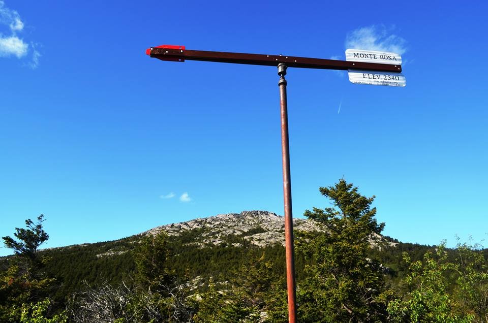
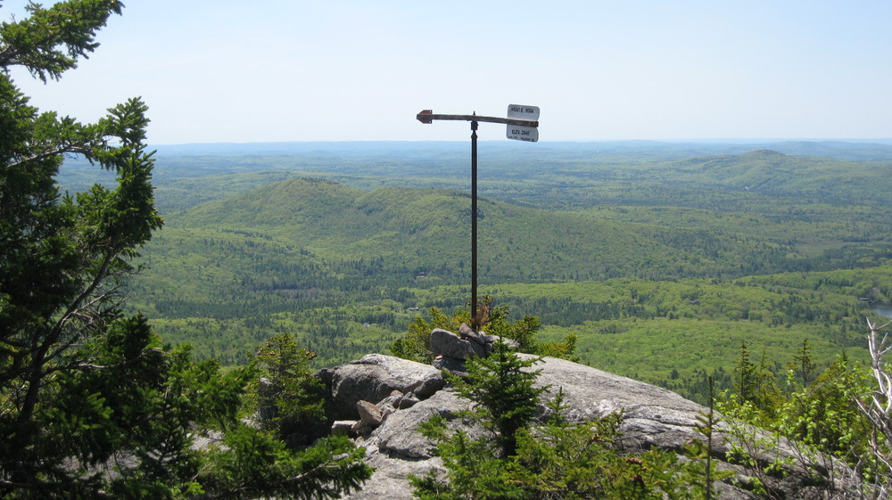
Smith Summit Trail (from Old Toll Road network): Ascending to the main summit from Monte Rosa, this lightly used trail provides excellent viewpoints and is relatively steep in some sections. The trail first descends to the Tooth and then connects with Smith Bypass on the right. From here, the trail continues to the left and meets Amphitheatre Trail at a junction at 0.3 mi. After leading through some spruce woods, at 0.4 miles the trail makes a steep ascent up ledges where at the top are nice views of the west and south. After turning right at 0.6 mi., the trail leads to a narrow gully that then intersects below the summit with Dublin Trail and White Arrow Trail. The distance from Monte Rosa summit to Mount Monadnock summit is 0.7 mi. and takes about 40 minutes. The geological feature "Billings Fold" is easily viewable from the Smith Summit Trail, just a short distance from the summit.
Monte Rosa Trail: (from Old Toll Road network): North of the Halfway House clearing, is where the Monte Rosa trail departs from the west side of White Arrow Trail. 50 yards from this junction is where signage is located for Fairy Spring and Monte Rosa Trails. Afterwards, entering from NH 124 is Royce Trail. After Monte Rosa trail crosses Fassett Brook via Bridge and follows along for 35 yards, Fairy Spring Trail diverges to the right and then after 0.3 mi, Fairy Spring Trail joins Monte Rosa again at a junction, after a steady climb. Monte Rosa follows to the left after the junction and continues a 400 foot and 0.4 mile ascent to the top of Monte Rosa, which features an historic weathervane. From this point, descending to the northeast is the Smith Summit Trail (to the summit) and descending west is Great Pasture Trail.
Fairy Spring Trail: (from Old Toll Road network): Above the bridge over Fassett Brook is where this trail departs from the east side of Monte Rosa Trail, then after following along for 35 yards the trail swings left following the original path. At 0.3 mi. it meets again with the Monte Rosa trail and ascends 300 feet. After traveling across Fairy Spring and Fairy Brook, certain points of the trail have a steep climb. Shortly up the trail, hikers can find the remains of Fassett's Mountain House.
Please see the map for the locations and names of footpaths that cross between trails and to unique features.
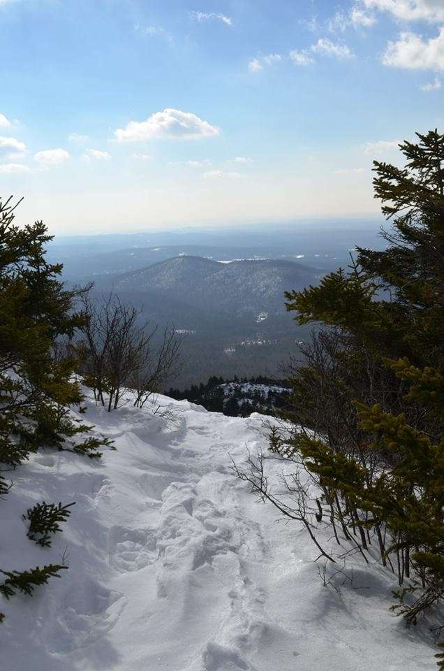
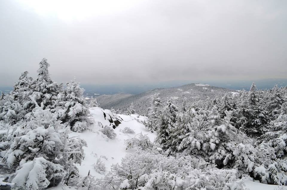
The park is open year-round, permitting winter snowshoe use on the hiking trails; however, services and access to certain trailheads are limited from November through April. There is a dedicated, separate 8 mile trail network for Nordic skiing, found between the Park Headquarters and Gilson Pond Campground.
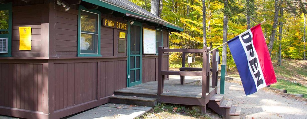
Day use fees are required. Iron rangers are available if a trailhead is not staffed. All donations support the park.
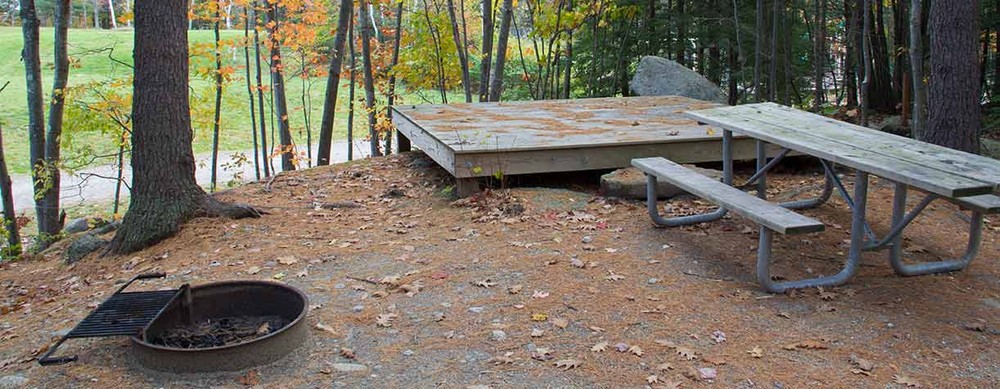
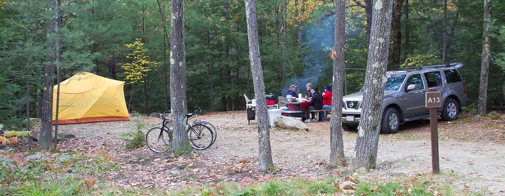
Pets are not allowed at any time. Camping is only permitted in designated campsites at Gilson Pond or the State Park Headquarters. Monadnock is a carry in-carry out park, so plan to pack all trash out with you.
Land within Monadnock State Park is owned by the Society for the Protection of New Hampshire Forests, the town of Jaffrey, and the State of New Hampshire. Recreation within the park is managed by the Parks and Recreation Department through a recreational lease. In 1987, Mount Monadnock was designated a National Natural Landmark.
Please note that geocaching in not allowed in any New Hampshire State Park.
Special thanks to Mike Bromberg of Three Ring Cartography for collaborating with NH State Parks and the Trail Finder team in sharing Mt. Monadnock trail line details as we worked to create this extensive wealth of information. On your next outing consider Mike's Mt. Monadnock pocket guide. It will be a great companion on your hike and it won't need batteries.
Visit NH State Parks online for more information and a printable map, or contact: Monadnock State Park at 603-532-8862.
The Society for the Protection of New Hampshire Forests has many other trails open to the public. Find a reservation near you!
![]()

There are multiple trailheads for Mount Monadnock. For directions from your location to a specific trailhead, click one of the Parking icons on the map, then click "Get Directions to Here."
Day use reservations are now required at many New Hampshire State Parks. Visit the day use information page at the NH State Parks website to make your reservation.
Success! A new password has been emailed to you.