A western approach to Mount Abraham, Vermont's fifth highest peak, the Battell Trail intercepts a portion of the Monroe Skyline near tent sites and a log shelter on the slopes of Lincoln Mountain. Aside from rare plants and fabulous views, two sugarbushes are found on the route - the resort valley northeast of the peak and the stand of maples near the trailhead.
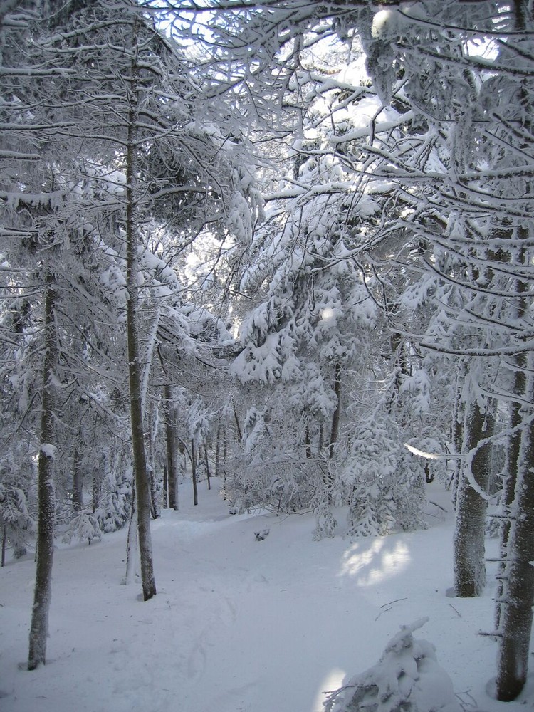
Sap lines cross well above your head as the trail modulates up a terraced slope and melds into the uniform pitch of a sidehill traverse as it exits the sugarbush.
Catch a breather along the face of a shallow ridge before the path climbs briefly, then flattens again to span a brook on wooden planks. Just beyond this crossing, the trail directly assaults the western flank of Lincoln Mountain, the elongated parent of Mount Abraham, Mount Ellen, and other lesser peaks. With views flickering through the treetops, the route executes a 0.5-mile zigzag up a sharply angled slope then slants southeast, turning away from the summit toward a col that holds the shelter. A brisk 0.4-mile climb completes the final leg of the Battell Trail that meets a curve in the Long Trail (LT), 0.1 miles south of the campsite and 0.9 miles south of the peak.
From the Battell junction, the white-blazed LT descends 1.7 miles right (south) to Lincoln Gap. Straight ahead, a broad path rises comfortably to tent platforms and an Adirondack-style lean-to set in a glade accompanied by the sound of a gurgling brook. Even if you're not spending the night, the Battell Shelter is a logical place to take a break.
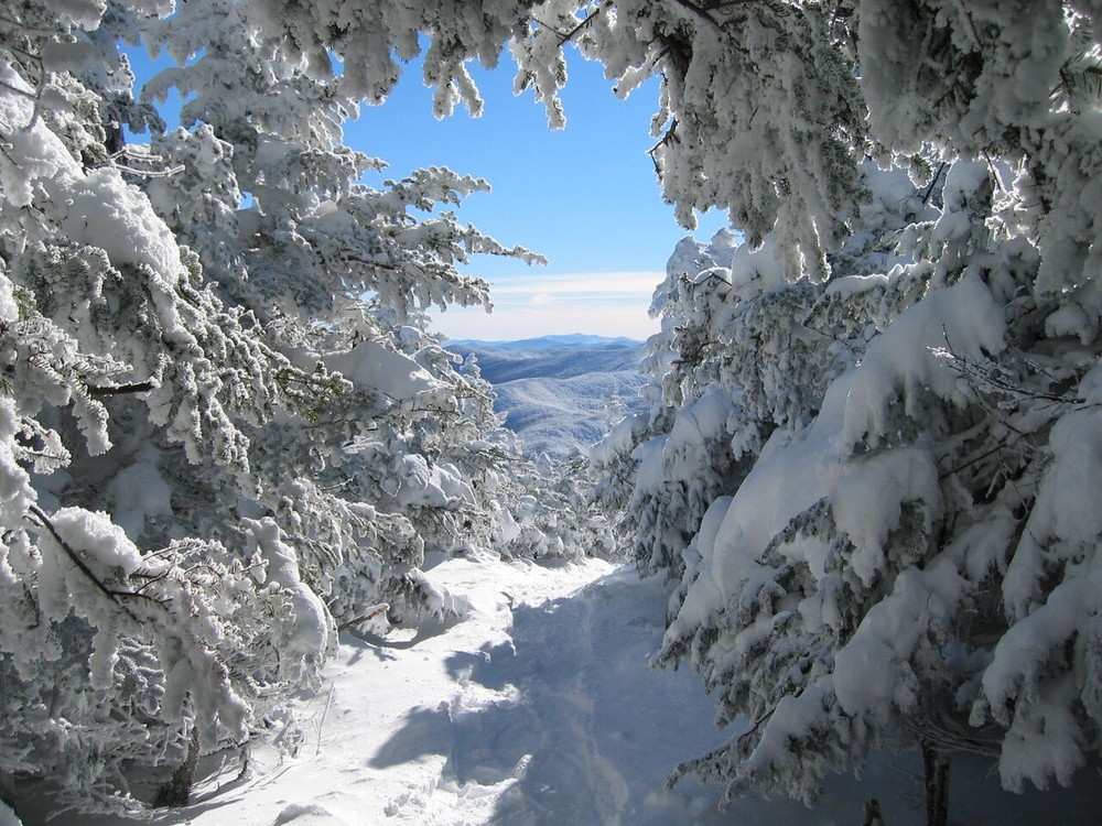
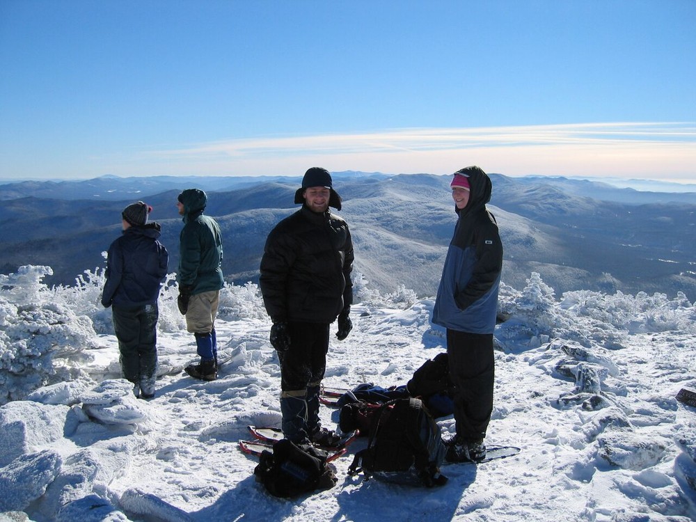
North of the campsite, the LT rolls easily upward on a stony path through crowding evergreens and scrambles over exposed bedrock to disclose emerging views. Be cautious on these slippery faces of stone that carry the trail higher with the aid of sporadic footholds chipped into solid rock. Short, steep scrambles lead into the alpine zone amid reminders to stay on the trail. The path rises through Krummholz vegetation, clambers over boulders, and surfaces atop a peak that greets hikers with a circle of stones and a rare collection of alpine flowers.
The summit of Mt. Abraham is above treeline and supports a small community of alpine vegetation, one of only three such communities along the Long Trail. The fragile alpine plants do not tolerate foot traffic. They are damaged when hikers stray from the trail. Above treeline, take care to walk only on the rocks, and please leash dogs. Camping and wood fires are prohibited on the summit of Mt. Abraham.
For additional information, visit the Green Mountain Club website, or contact:
In the center of Lincoln Village, turn north onto unmarked Quaker Street at a stone marker and directly adjacent to the Lincoln General Store. After 0.6 miles, turn right (east) onto Forest Road 350 at a second sign for the Battell Trail, and stay on this gravel road ignoring turns that branch right and left. After 2.1 miles, FR 350 narrows to one lane and leads to a parking space across the road from the trailhead.
Success! A new password has been emailed to you.