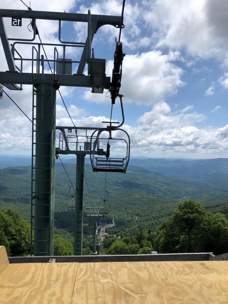
The hiking trails at Mad River Glen, available only for summer use, utilize access roads and alpine ski trails to climb to the Long Trail and the Green Mountain ridgeline. Multiple loops as well as out-and-back hikes are possible. The trails offer scenic views as they make there way along the alpine ski slopes.
There are two shelters on the section of the Long Trail between the Sunnyside Trail and the Stark Mountain Trail - the Theron Dean Shelter (maintained by the Green Mountain Club), and Stark's Nest Summit Shelter (maintained by the Stark Mountain Foundation).
The Stark Mountain Trail (2.5 miles) trail follows a wide, well established “work road” up to the summit of General Stark Mountain. It meanders up the ski trails under the Single Chair, past a large waterfall, over towards the Sunnyside Double chairlift, into what is known as the Birdland area.
The Bunny Cut-Off Trail is slightly steeper than the Stark Mountain Trail but cuts 0.4 miles off of the hike to the summit. After diverging from the main trail, the Bunny Cut-Off Trail ascends the ski trail named Bunny. It rejoins the Stark Mountain Trail about 0.5 miles below the Single Chair mid-station, and 0.2 miles downhill from the intersection with the Sunnyside Trail.
The Sunnyside Trail (1.6 miles) is a spur from the Stark Mountain Trail. It slopes gently up the Fox ski trail for 0.4 miles to the top of the Sunnyside Double chairlift. From the summit of the lift it connects with the Long Trail. To the south the Long Trail leads down towards the Appalachian Gap. Just to the north on the Long Trail there is a panaoramic view.
Please Note: Although the Mad River Glen ski area is not open in the summer, there may be maintenance activities occurring including mountain vehicles and staff on the trails. The chairlifts may also move at any time.
Also, soil on the alpine slopes can be quite thin and the vegetation is not stable in many areas. Please stay on marked trails.
![]() This trail is part of the Mad River Valley Trails Collaborative.
This trail is part of the Mad River Valley Trails Collaborative.
The Collaborative is a watershed-wide network of lands and trails created through a partnership of local organizations, generous property owners, towns, the State of Vermont, the US Forest Service, and many volunteers. These trails reflect the Mad River Valley’s love of the outdoors and commitment to stewardship of land and recreational opportunities for current and future generations. Enjoy and help us care for this place. Click here to learn more and support recreation in the Mad River Valley.
For more information, visit the Stark Mountain Foundation website, or contact:
![]()
To get to Mad River Glen, head west on VT-17 from Irasville. After 4.7 there is a large parking area on the right at a sharp curve in the road. To access the hiking trails, cross the road on foot to the Mad River Glen base lodge and trailhead.
Success! A new password has been emailed to you.