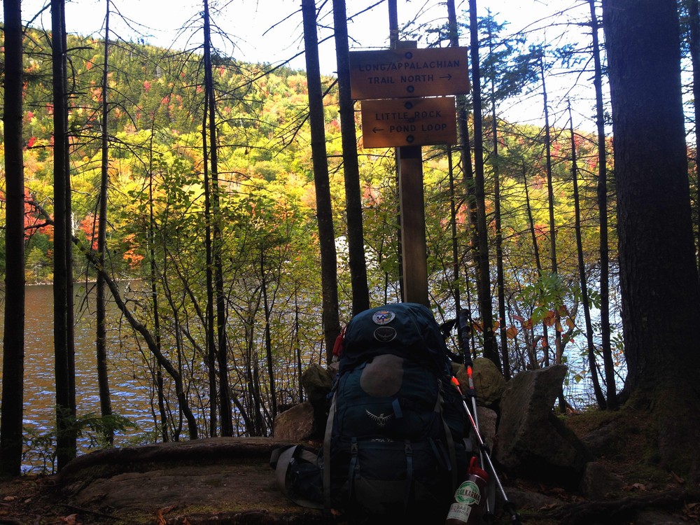
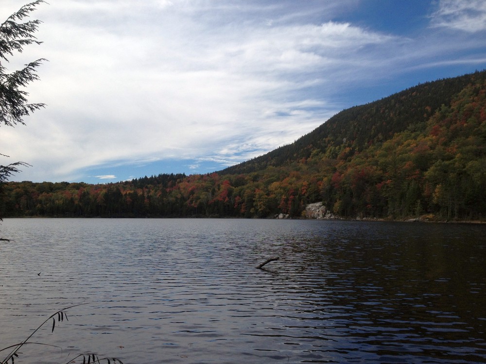
To access the Little Rock Pond Loop, follow the Long Trail/Appalachian Trail (white blazes) from the USFS Road 10 parking area north for 2.3 miles, passing the south end of the Little Rock Pond Loop Trail, and skirting the east side of the Little Rock Pond to its outlet at its northern end. Return by the same route, or make a 7.1 mile loop hike by using the Green Mountain Trail. The pond itself is the major point of interest. Hikers often stop here for a swim on a hot summer day.
The Green Mountain Connector Trail begins west of the Little Black Branch bridge (west of the main Long Trail parking lot.) It roughly parallels Forest Road 10 for 0.6 miles, ending at the Greet Mountain Trail 0.1 mile north of Forest Road 10.
The Green Mountain Trail begins opposite the Big Branch Picnic Area parking lot and ascends northwest, reaching a junction with the Green Mountain Connector Trail at 0.1 miles. The trail continues to ascend on an old woods road, traversing a mature stand of hemlock and white pine, then joining another woods road and crossing a brook. After crossing a shallow saddle, the trail climbs a spruce-covered ridge to a spur leading east 50 feet to a lookout near the summit of Green Mountain. Across ledges there is another spur, leading 200 feet to an outlook with limited views. From the spur, the main trail descends steadily to the junction with Little Rock Pond Loop, and a few feet after the junction with the Homer Stone Brook Trail, then over the pond outlet to the north end of Little Rock Pond and the Long Trail, 4.1 miles from Big Black Branch.
The Homer Stone Brook Trail climbs steadily upon entering the woods, and follows the old South Wallingford–Wallingford Pond Road until it reaches a ford of Homer Stone Brook at 1.7 miles. Please use caution, this ford can be challenging in high water. From the brook crossing, the trail ascends on an old woods road southeast to its junction with the Green Mountain Trail. East at the junction leads over the pond outlet to the Long Trail just north of Little Rock Pond, 2.3 miles from the trailhead at Homer Stone Road.
Visit Green Mountain National Forest online for more information or contact:
![]()

Big Branch/Green Mountain Trail Parking
From the intersection of US-7 and Brooklyn Road in Mt. Tabor, take Brooklyn Road east (USFS Road 10) for 2.6 miles to the Big Branch Picnic Area.
Long Trail Parking
From the intersection of US-7 and Brooklyn Road in Danby, take Brooklyn Road east (USFS Road 10) for 3.2 miles to a paved parking lot on the right, 0.6 miles past the Big Branch Picnic Area. Start your hike near the sign board directly across the road from the parking lot.
Please note: USFS 10 is plowed in winter only to the silver bridge, 1.8 miles west of the Green Mountain trailhead, and 2.3 miles west of the Long Trail trailhead.
Homer Stone Brook Trail Parking
From US-7 in South Wallingford, just north of Charlie’s Market or 4.2 miles south of VT-140 in Wallingford, turn east onto the south end of Hartsboro Road. Cross Otter Creek and the railroad tracks, then bear right onto Homer Stone Road. Hiker parking is to the left 0.25 miles beyond the schoolhouse.
Success! A new password has been emailed to you.