Winter Use Only
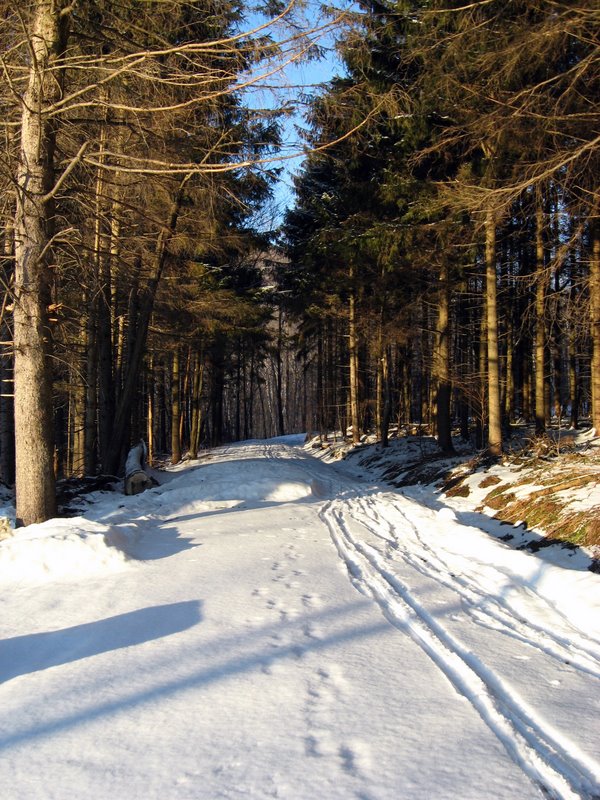
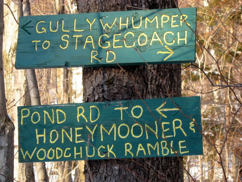
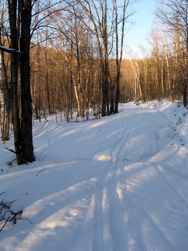
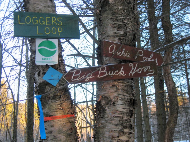
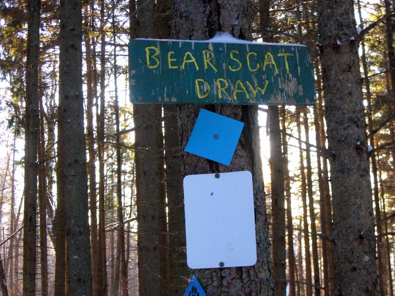
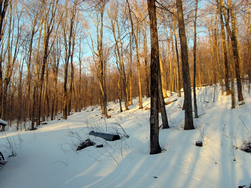
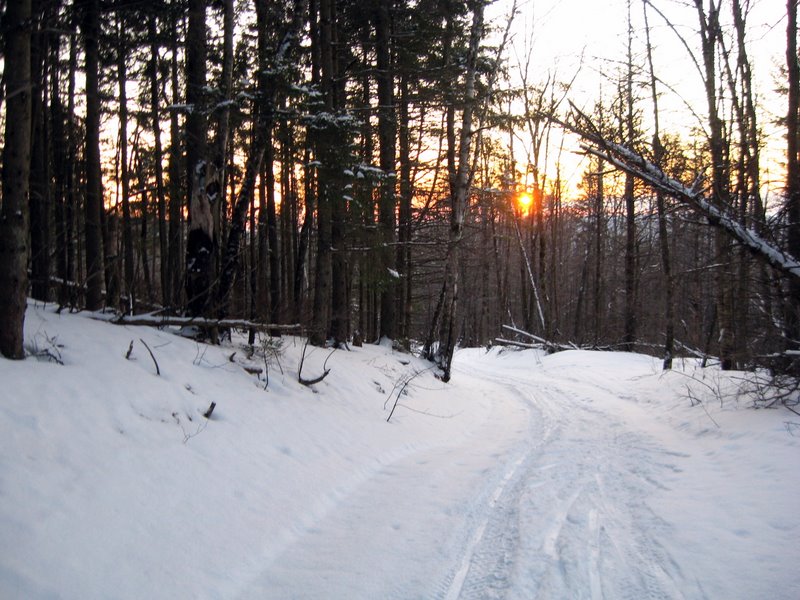
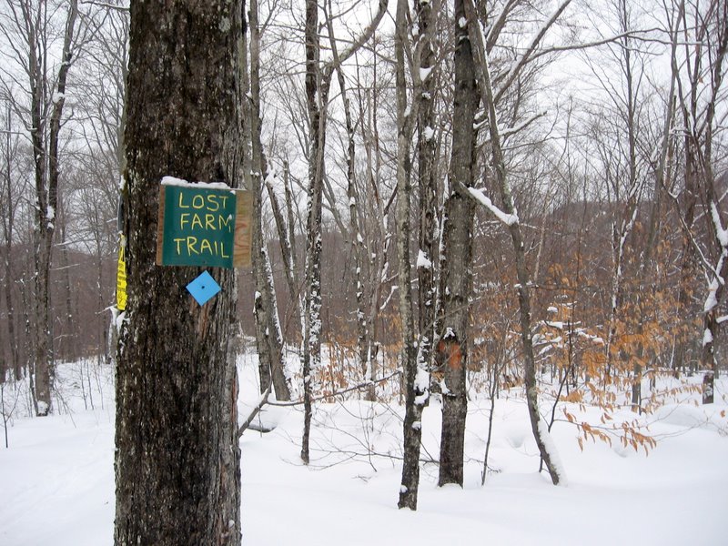
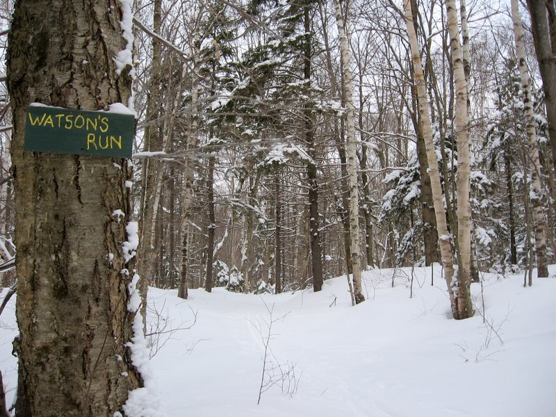
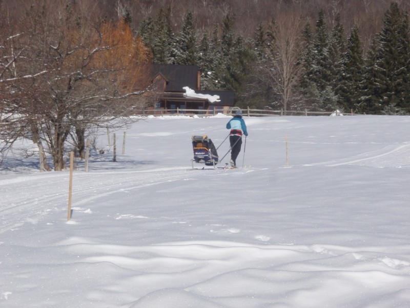
The Camels Hump Nordic Ski Area (CHNSA), in collaboration with the Catamount Trail Association, maintains over 40 miles of groomed and backcountry trails between the Winooski River and the Camel's Hump Road in Huntington, by arrangement with over 30 landowners. They regularly groom 12-16 miles (currently about 30km) for both classical and skate skiing. This area is a lovely place with beautiful woods. Groomed trails range from easy field loops to moderate, while the backcountry terrain ranges to more challenging backcountry steeps.
The CHNSA's network is also a part of the Catamount Trail system – a skiing trail that runs the entire length of the state of Vermont.
Snowshoeing: Snowshoeing is allowed, but please keep to the edges of the groomed trails.
Please respect the CHNSA "no-dogs" policy.
Remember to sign in after you have your season or day membership. A trail fee of $15 and sign-in provides a day of membership, using an honor system arrangement.
Visit CHNSA's website for further information about rates and for current trail conditions.
Visit Camels Hump Nordic Ski Area online for more information and a printable map or contact:
From I-89, take Exit 11 to Route 2 east to the village of Richmond. Turn right onto Main Road and drive about 7-8 miles to Huntington. In Huntington, bear left at a Y intersection onto East Street (about 2.5 miles to ski center parking from here). Continue on East Street, until it bears right and go straight onto Bert White Road. Turn left onto Handy Road and go about 0.5 miles up the hill to parking lot on the left just before the road bends sharply right. The trailhead is directly across the road.
Success! A new password has been emailed to you.