Linking Manchester and Bourn Pond to the Long Trail, most of the Lye Brook Trail lies within the Lye Brook Wilderness.
The trail travels east from the trailhead and enters the Lye Brook Wilderness after 0.5 miles, then ascends on old railroad grades and woods roads. At 2.3 miles, a spur trail leads south 0.4 miles to one of the higher waterfalls in Vermont. From the waterfall to Bourn Pond, the trail is minimally maintained and may be more challenging to follow. A compass and topographic map are strongly recommended. Past the spur the grade eases, as the trail continues along old woods roads and crosses a series of low ridges. 7.3 miles from the trailhead, the trail reaches the junction with the Branch Pond Trail at a stream crossing just south of Bourn Pond.
The trail fords the headwaters of the Winhall River just over a mile from Bourn Pond. After ascending along the outlet stream of Stratton Pond, the trail reaches a spur leading uphill to Stratton View Campsite, then crosses the pond’s outlet, and follows the pond's south shore to the junction with the Long Trail at Willis Ross Clearing, 9.7 miles from the trailhead.
The area between Bourn and Stratton Ponds is not well maintained and could have many blow downs and wet sections.
The Branch Pond Trail travels through the east half of the Lye Brook Wilderness, connecting Branch and Bourn Ponds with the Long Trail near the Old Rootville Road.
From the trailhead at Kelley Stand Road, the trail travels north over rolling terrain. At 1.8 miles there is a spur to the west, leading 0.3 miles to USFS Road 70 (Branch Pond Access Road) where there is a boat access path to Branch Pond, restrooms, and parking, and which can be used as an alternative access point to this trail. Continuing east, the trail enters the Lye Brook Wilderness at 2.5 miles, and may become more challenging to follow due to minimal brushing and blazing. After traversing Lye Brook Meadows on an old railroad grade, the Branch Pond Trail reaches the junction with the Lye Brook Trail at 4.3 miles, just south of Bourn Pond.
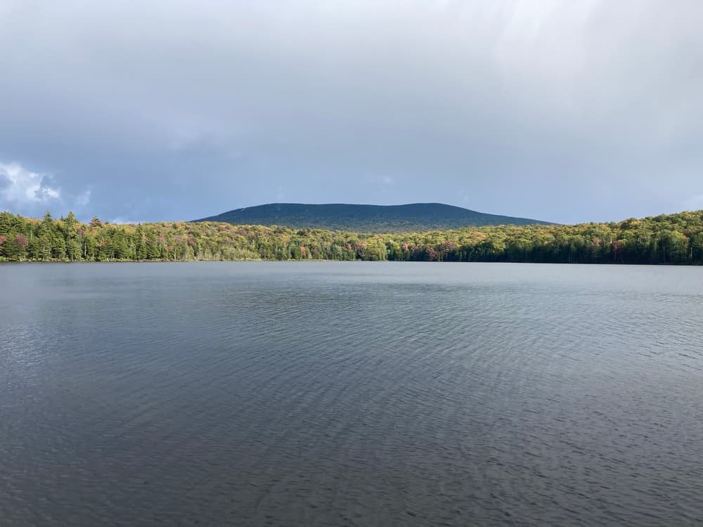
Following the west shore of Bourn Pond, the trail reaches a spur at 4.8 miles leading to a tenting area on the north side of the pond and a path to the shoreline with views of Stratton Mountain. Continuing north from the spur the trail follows an old lumber railroad grade to a ford of Bourn Brook at 5.6 miles. This crossing can be difficult during snowmelt or heavy rains. The trail reaches the William B. Douglas Shelter at 7.8 miles. From the Shelter the trail follows an old, sunken woods road to the junction with the Long Trail, 8.3 miles from the Kelley Road trailhead.
For additional information, visit the Green Mountain Club website, or contact:

Lye Brook Trailhead
From VT-7A in Manchester Center, follow VT-11 and VT-30 1.9 miles east, and then turn right onto East Manchester Road. Follow the road 1.2 miles to Glen Road and turn left. Continue straight on a short access road to the trailhead where Glen Road bears left at 0.1 miles. There is a parking lot by the trailhead 0.4 miles from that junction. Please note, this access road is not plowed in winter.
Branch Pond Trailhead
From the east, follow Stratton-Arlington Road from VT-100 west 3.4 miles to the town of Stratton and then another 3.4 miles to the Long Trail parking lot on the north side of the road just before crossing the bridge over the East Branch of the Deerfield River. Continue 2.1 miles past the Long Trail on Stratton-Arlington Road, which becomes Kelley Stand Road at the county line, to the Branch Pond Trail trailhead on the right.
From the west, take exit 3 (Arlington) off US-7 and proceed 0.1 mile west on VT-313 to a right turn onto South Road. Follow South Road 0.6 miles to its end on Kansas Road. Turn right and proceed 0.7 miles to a fork just after crossing a bridge. Take the right-hand fork, Kelley Stand Road, and proceed 8.3 miles from the fork on Kelley Stand Road to the trailhead on the left.
There is space for one car on the north side of the road at the trailhead and space for four cars farther west on the north side of the road.
In winter, Kelley Stand Road is not plowed west of the Long Trail parking lot; regular maintenance of Kelley Stand Road begins June 1 and ends on November 1.
Success! A new password has been emailed to you.