These two trails offer access to Appalachian Trail (AT) and the heart of the Mahoosuc Range from New Hampshire into Maine. While both trails offer a challenging and rewarding experience alone, they are often combined for a more challenging and longer loop. The two trails are described below up to their connection with the AT and the connecting trail described as part of the loop experience.
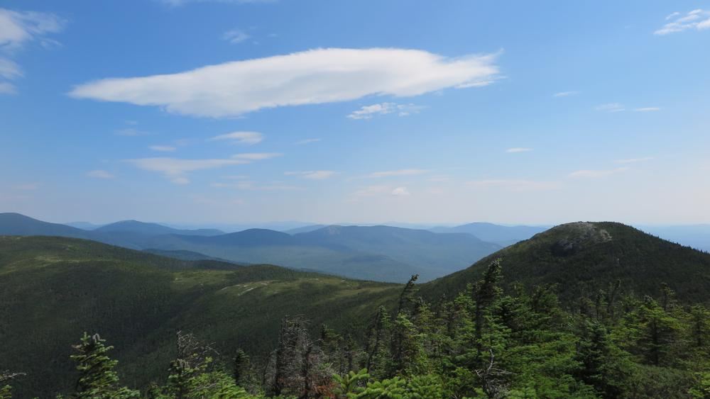
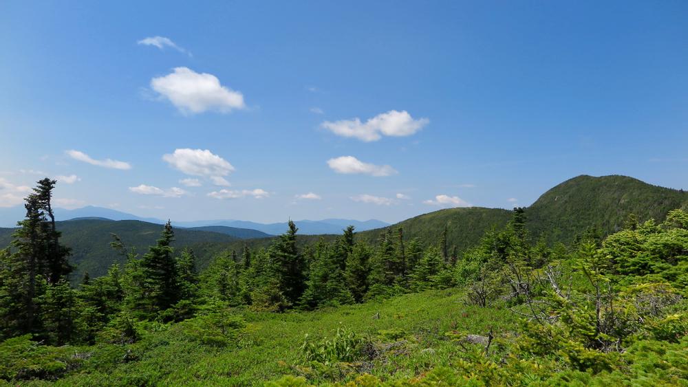
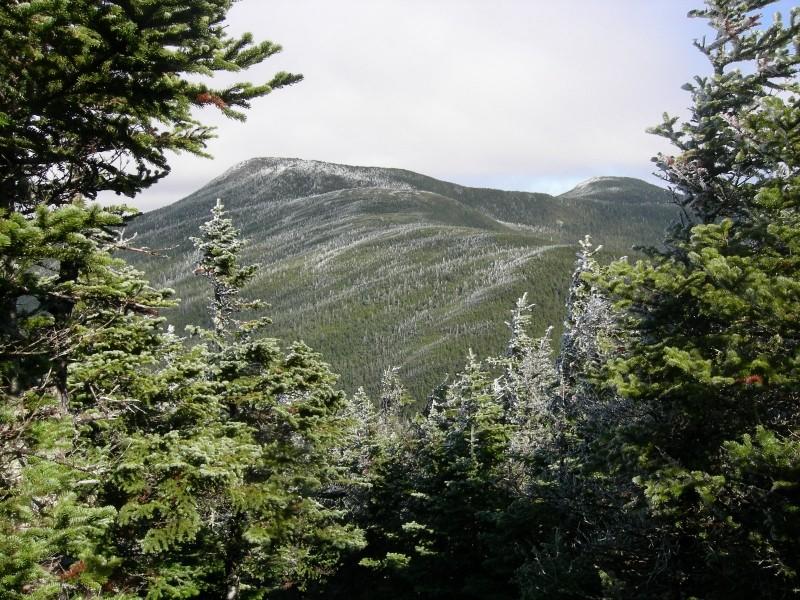
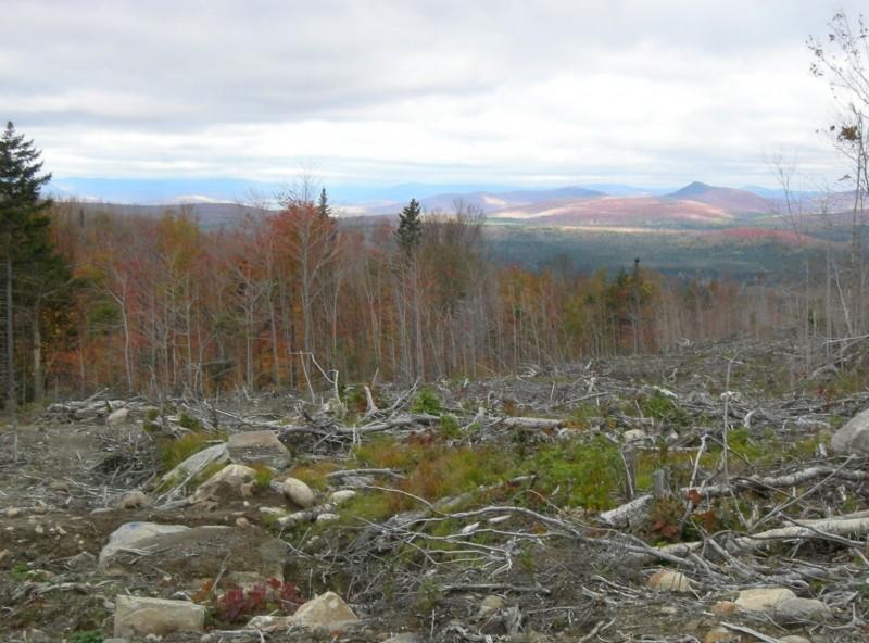
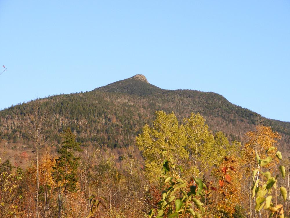
Goose Eye Trail (6.4 miles out-and-back): From the parking area, both trails follow a logging road west about 100 yards before the Goose Eye Trail cuts sharply left down an embankment and turns right to follow another logging road. The trail follows this second logging road across two brooks, and then bears right onto another logging road descending for about 100 yards to a sign indicating where the trail leaves the right side of the road. From here the trail passes through old mixed forest and across the New Hampshire-Maine state line, before beginning to ascend Goose Eye Mountain. Right before reaching the summit there is a steep scramble up a rock ledge. From the summit of Goose Eye Mountain (elevation 3,870 feet), there are stunning views of the surrounding range. The trail continues another 0.1 miles to join the AT. A short hike northbound will bring hikers to the junction of the AT and Wright Trail; southbound leads to Mount Carlo.
Carlo Col Trail (5.2 miles out-and-back): From the parking area, the Carlo Col Trail follows a logging road west about 0.8 miles (continuing straight where the Goose Eye Trail splits off to the left) to a log yard where the trail cuts left, crossing a brook that may need to be forded in high water. The trail then follows the brook for just over a quarter mile, before bearing east up the steep south side of Mount Carlo. The Carlo Col Campsite is about 0.2 miles before the trail's junction with the AT. Heading southbound a short way leads to an overlook with excellent views; continuing northbound approximately a half mile leads to the summit of Mount Carlo (elevation 3,565 feet).
Combined Loop (7.6 mile loop): Approximately 1.8 miles of the AT/Mahoosuc Trail separates the junctions of the Goose Eye and Carlo Col Trails. Heading south on the AT from its junction with the Goose Eye Trail, the trail descends and then ascends to the top of Mount Carlo, before descending into Carlo Col and to the junction with the Carlo Col Trail. The Carlo Col Campsite may be utilized to make this loop an overnight experience.
These two trails are partially within the 9,993-acre Mahoosuc Ecological Reserve, which, like all Maine state Ecological Reserves, is specifically set aside to protect and monitor natural ecosystems. Find out more by checking out the Maine Natural Areas Program's Ecoreserve Fact Sheet for Mahoosuc Unit.
HIKE SAFE!
Before you hike, know the hiker responsibility code and be prepared:
![]() Visit the hikeSafe website to learn more!
Visit the hikeSafe website to learn more!
These trails are managed by the White Mountains National Forest (New Hampshire section) and the Maine Bureau of Parks and Lands (Maine section), and maintained by the Appalachian Mountain Club. Please contact these organizations for more information about this trail system.
White Mountain National Forest: Androscoggin Ranger DistrictFROM THE WEST / SOUTH
Follow US-2 into New Hampshire and take NH-16 north, at its intersection with US-2 in Gorham. Continue on NH-16 for 4.5 miles towards Berlin, then bear right on Unity Street to cross the Androscoggin River on the Cleveland Bridge. Unity Street continues straight through a set of traffic lights, then bears sharply right and becomes Hutchins Street. Follow Hutchins Street (bearing left in several places) another mile to where Success Pond Road leaves Hutchins Street on the right (eastern) side of the road. Follow Success Pond road 8.1 miles to the trailhead, located at the intersection of Success Pond Road with a logging road. The logging road has a wooden trail sign and a green road sign that mark the Carlo Col Trailhead.
FROM THE EAST / NORTH
Access to Success Pond Road is via an unmarked logging road on the west (left if coming from the State Park) side of ME-26, about 4.8 miles north of the Appalachian Trail crossing in Grafton Notch State Park. The trailhead is located at the intersection of Success Pond Road and a logging road at approximately 11.5 miles from ME-26.The logging road has a wooden trail sign and a green road sign that mark the Carlo Col Trailhead.
Please note: Success Pond Road is not maintained in winter.
Success! A new password has been emailed to you.
