The Mahoosuc Trail is a rugged hike over the Mahoosuc Range with incredible views, interesting alpine bogs, and extremely taxing climbs with rock scrambles.
The trail begins with a mostly gentle to moderate ascent 2.5 miles to the open ledges of the Mount Hayes summit (elevation 2,555 feet). Just past the summit the trail meets up with and heads left (north) on the Appalachian Trail, on which it remains for the rest of its distance.
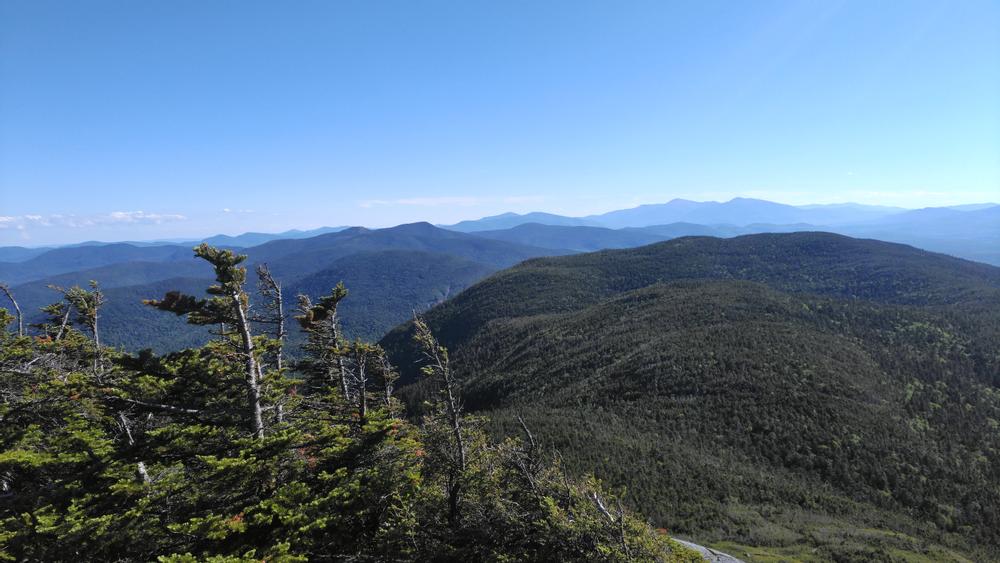
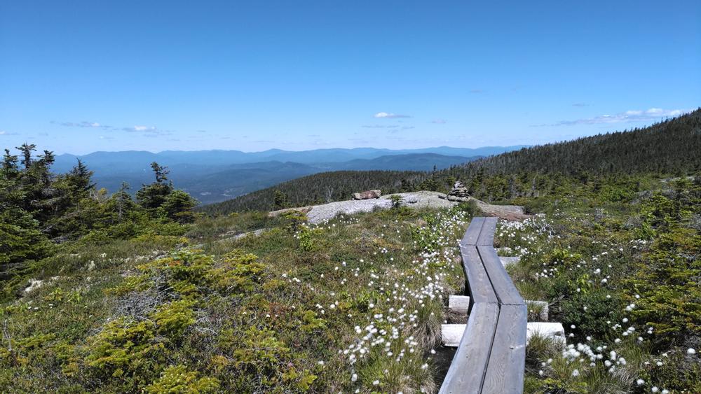
Once upon the AT, there is a small descent before the trail climbs steeply over large craggy rocks and ledges to the summit of Cascade Mountain (elevation 2,631 feet), from which there are excellent southerly views. The trail then descends, passing over ledges, through forests, over streams, and past two ponds to the junction with Peabody Brook Trail at 8.5 miles. The Mahoosuc trail heads left crossing an open bog on wooden walkways before reaching first Upper Gentian Pond then Gentian Pond. From Gentian Pond, there are some steep and rough climbs to the flat, open ledges of Mount Success, with excellent views south and west. The trail crosses an alpine meadow just before reaching the summit of Mount Success (elevation 3,465 feet) at 13.3 miles. There is a junction with the Success Trail, leading west 2.4 miles to its trailhead on Success Pond Road, shortly past the Mount Success summit.
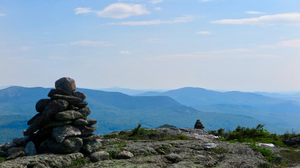
The last section of the trail in New Hampshire includes ascents and descents, rocky scrambles, and cols, before reaching the border with Maine at 15.6 miles. From the border it is a steady climb up Mt Carlo. Shortly before the summit there is a junction with the Carlo Col Trail, which leads west 0.2 miles to the Carlo Col Campsite, and an additional 2.2 miles beyond that to Success Pond Road. The bare southwest summit of Mount Carlo (elevation 3,565 feet) offers some views over the trees. After a short moderate descent from Mount Carlo, views of Goose Eye are afforded from open mountain meadows. The summit of Goose Eye (elevation 3,870 feet) is reached shortly thereafter, via steep pitches with two sets of iron rungs and a wooden ladder. At the summit there is a trail juction with the Goose Eye Trail, which leads west to its junction with the Carlo Col Trail, just before the trailhead on Success Pond Road.
From the junction at this ridge crest the Mahoosuc Trail turns sharply to the right (east) and follows the ridge crest down through scrub and ledges before climbing up steeply to the bare summit of the East Peak of Goose Eye Mountain. It then descends steeply down ledges and ladders to open subapline meadows. Passing through a ravine and woods the trail emerges on the broad summit of the North Peak at 19.1 miles. The trail proceeds through woods and meadows, as well as along some ledges with rock steps, ladders and iron rungs over the steeper sections, before reaching Mahoosuc Notch.
Mahoosuc Notch is often called the "Appalachian Trail's most difficult mile." It includes numerous rock scrambles, passes through boulder caverns, some with narrow openings and in which ice often remains through summer. Rocks can be slippery and there dangerous holes, caution should be exercised. The Notch is not recommended for dogs, and may be impassable through early June due to snow.
The Mahoosuc Trail emerges from the Notch at 22.7 miles to ascend along a valley and then up the very steep wooded, rocky slope of Mahoosuc Arm, to flat ledges offering good views to the north, and to the summit of Mahoosuc Arm (elevation 3,765).The trail wanders across the plateau before dropping steeply to Speck Pond, one of the highest ponds in Maine. There is a campsite at Speck Pond, and a junction with the Speck Pond Trail leading 3.6 miles west to its trailhead on Success Pond Road.
The trail climbs steeply up Old Speck, and travels along a wooded crest to a junction at 26.3 miles. To the right, the Mahoosuc Trail follows the Grafton Notch Loop 0.3 miles east to the cleared summit of Old Speck (elevation 4,170 feet), the official end of the Mahoosuc Trail. There is an observation tower at the summit providing excellent views in all directions. From the juction 0.3 miles west of the summit, the AT heads left 3.5 miles down the Old Speck Trail to reach the parking area on ME-26.
CAMPING
The following campsites are available along the trail on a first-come, first-served basis.
In the White Mountains section in NH, camping is allowed within the AT corridor and 0.25 miles away from designated sites and shelters. In the Mahoosuc Public Reserve lands in ME, camping is allowed below treeline only. Camping is prohibited in Grafton Notch State Park. On all sections of the trail, fires are allowed only at shelters and designated sites. For additional information on camping please visit the Appalachian Mountain Club's NH backcountry campsites webpage.
HIKE SAFE
Before you hike, know the hiker responsibility code and be prepared:
![]() Visit the hikeSafe website to learn more!
Visit the hikeSafe website to learn more!
The Mahoosuc Trail is managed by the White Mountains National Forest (New Hampshire section) and the Maine Bureau of Parks and Lands (Maine section), and maintained by the Appalachian Mountain Club. Please contact these organizations for more information about this trail system.
![]()
![]()
![]()
NORTHERN TRAILHEAD, ME
From the junction of US-2 and ME-26 in Newry, go north on ME-26 for 12.1 miles through Grafton Notch State Park to where the Appalahian Trail crosses ME-26. There is parking lot on the left (west) side of the road. The Mahoosuc Trail begins on Old Speck trail, leaves from the kiosk at the parking lot.
SOUTHERN TRAILHEAD, NH
From US-2 in Shelburne, go north on North Road for 0.5 miles, and just after crossing the Androscoggin River turn left on Hogan Road. Please note, this gravel road is very rough in places. Go 1.3 miles and bear left, then bear left again after another 1.1 miles. Go 2.3 miles to the Gorham Hydro Station, and park on the right side of the road across from the station; do not park next to the station. Proceed on foot another 0.1 miles up the road to the trailhead on the right.
Alternatively, access the trailhead on foot across private land from a parking area on NH-16 in Gorham. From the western junction of NH-16 and US-2 in Gorham, go 0.3 miles north on NH-16 to the parking area on the right, by an old railroad bridge. Park here and cross the Androscoggin on foot on the pedestrian walkway, then utilize the Undermine bike trails to a bridge crossing a canal on the other side of the island, and turn right onto the trail with a sign indicating "Mahoosuc Hiking Trail Detour." Ascend to Hogan Road, turn right and follow the road for a half mile to the Mahoosuc Trail.
Success! A new password has been emailed to you.