This relatively new 5.6 mile network of five trails, accessible from four different trailheads, is managed by the Putney Mountain Association. The trail system is a collaboration between PMA, the Silvio O. Conte National Wildlife Refuge (US Fish and Wildlife Service), and several members of the Hinton family, who graciously gave legal permission for PMA to mark, map, and maintain a trail across their property.
The trails—Dine, Hannum, High Road, Beaver Pond Loop, and Hinton—are located between Holland Hill and Putney Mountain Roads in Putney and Brookline. The land is forested and the terrain is gentle. This, coupled with an elevation of 1500-1600 feet, makes the area--and specifically the Dine, Hinton, and Conte trails--a fine destination for cross country skiing.
The Dine Trail off Holland Hill Road uses a combination of old logging roads and new trail on PMA and US Fish and Wildlife Service land. During its 1.5 mile long journey it passes through several fern-filled glades. Up until 2016, the Dine Trail was a lonely outpost of trail under PMA management. When PMA purchased the Hannum parcel in 2014 all the elements fell in place to incorporate both new and pre-existing trails in the vicinity into the larger PMA trail system.
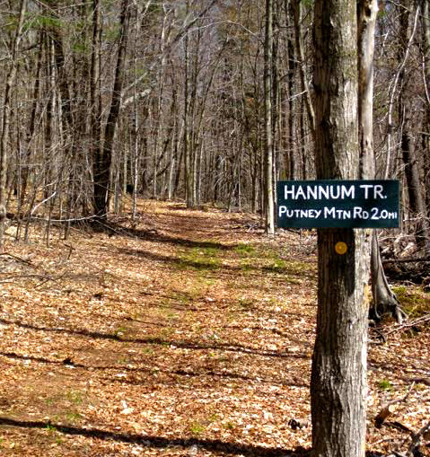
The 1.4 mile long Hannum Trail, off Holland Hill Road, runs north through land recently acquired by PMA and extends into the Conte Refuge. Highlights include a lovely white pine stand. The half-mile long High Road Trail follows an old logging road, providing a more leisurely alternative to one section of the Hannum Trail that twists and turns through a variety of terrain and forest types.
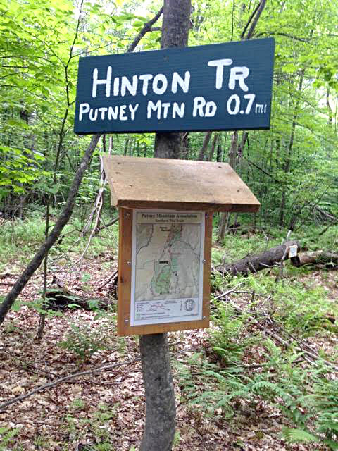
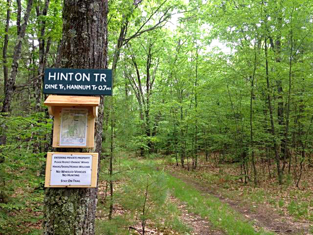
The 0.7 mile Hinton Trail links the above trails, accessed from Holland Hill Road, with Putney Mountain Road and PMA’s trail system leading north towards the Putney Mountain summit. IMPORTANT: the Hinton Trail is entirely on private property and it is critically important that everyone respect the owner’s wishes as reflected in PMA’s agreements with the landowner. No wheeled vehicles, including bicycles, are permitted on the Hinton Trail.
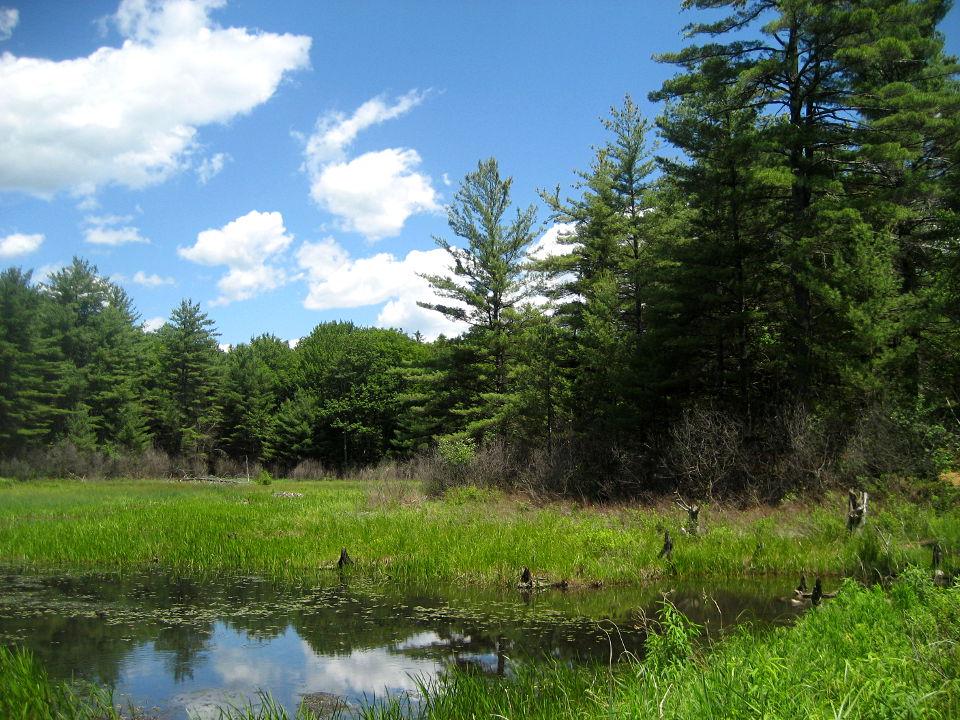
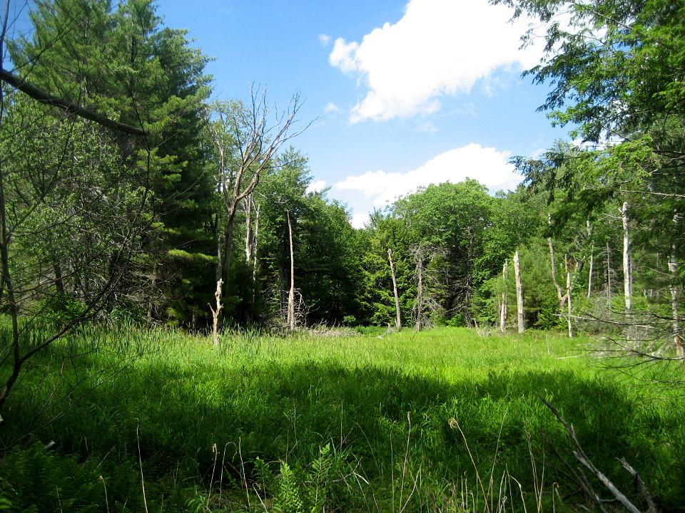
The network's newest trail, the Beaver Pond Loop, was opened in 2019. It passes through a variety of forests, with the highlight being a two acre beaver pond.
Maps and additional information about the Putney Mountain Association can be found on their website: http://www.putneymountain.org/. The Association offers guided woods walks and many other activities throughout the year, with learning opportunities for all ages and experience levels. A calendar of events is available on the website.
Putney Mountain Association's Putney Mountain Trails are accessible from the Putney Mountain Trailhead. They are on the north side of Putney Mountain Road.
Hannum/High Road Loop, 1.2 Miles
Out the Hannum Trail 0.6 miles and return on the High Road Trail
Hannum/Dine Loop, 3.0 miles
Out the Hannum Trail and back on the Dine Trail, with a short walk on Holland Hill Rd to return to your car
Hannum Trail to Parkman Wood Rd, 1.55 miles (one way)
Out the Hannum Trail and then a side trail to Parkman Wood Rd; from here a car shuttle, retracing your steps, or a road walk is necessary
Hinton/Dine/Hannum loop, 4.5 miles
South on the Hinton Trail, then a loop using the Dine and Hannum Trails before returning on Hinton
Hinton/Beaver Pond loop, 3.1 miles
South on the Hinton Trail, then following the Beaver Pond Loop and returning on Hinton
These trails are managed by the Putney Mountain Association. They cross PMA lands, as well as privately-owned lands, and lands of the U.S. Fish and Wildlife Service's Conte Refuge.
![]()
Four different trailheads provide access to the trails.
Putney Mountain Trailhead, 443 Putney Mountain Rd, Putney/Brookline
From US Route 5 in the center of Putney village, follow Kimball Hill/Westminster Rd 1.1 miles and turn left onto West Hill Rd. Follow West Hill Rd 2.35 miles and turn right onto Putney Mountain Rd. Follow this road 2.1 miles to the top of the mountain. Parking is on the right; the Southern Tier trails start on the left, directly across from the driveway to the parking lot.
From VT Route 30 north of Newfane village, at the sign for Brookline, follow Radway Hill Rd (which becomes Grassy Brook Rd at the West River bridge) 1.4 miles to a 'T' intersection and turn right onto Putney Mountain Rd. Follow this road 2.3 miles to the top of the mountain. Parking is on the left; the Southern Tier trails start on the right, directly across from the driveway to the parking lot. Note: no access from this direction in winter.
(PMA's Putney Mountain trails start from this trailhead.)
Hannum Trailhead, 442 Putney Mountain Rd, Putney/Brookline
From US Route 5 in the center of Putney village, follow Kimball Hill/Westminster Rd 1.1 miles and turn left onto West Hill Rd. Follow West Hill Rd 2.35 miles and turn right onto Putney Mountain Rd. Immediately bare left onto Holland Hill Rd. The Hannum Trailhead is 2.2 miles up Holland Hill Rd on the right.
Dine Trailhead, 478 Putney Mountain Rd, Putney/Brookline
Follow the directions above to Holland Hill Rd. The Dine Trailhead is 2.4 miles up Holland Hill Rd on the right (0.2 miles past the Hannum Trailhead).
Parkman Wood Road Trailhead, 113 Parkman Wood Rd, Putney/Brookline
Follow the directions above to Holland Hill Rd. Follow Holland Hill Rd 1.9 miles and turn right onto Parkman Wood Rd. Drive 0.7 miles to the end of the road; the trailhead is on the left.
Note: Bennett Road, which borders the Southern Tier Trails to the west in Brookline, is not passable by car. Do not use this road to access Holland Hill Rd.
Success! A new password has been emailed to you.