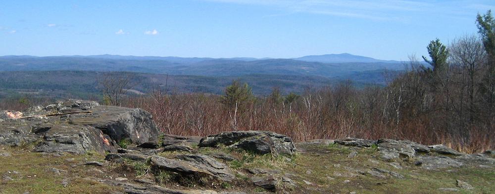
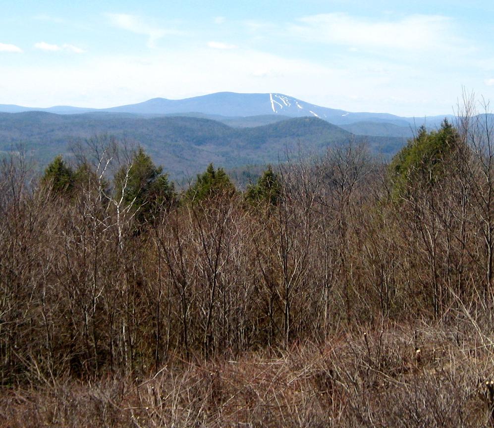
This trails in this portion of the Putney Mountain Association's system range from short and moderate to long and strenuous, providing something for everyone. The highlight is the summit of Putney Mountain, where long-range views and a months-long hawk watch takes place each autumn, but the mountain is more than just the summit. Dropping steeply 1000 feet to the west, and more gently to the east, this long ridge has many areas to explore.
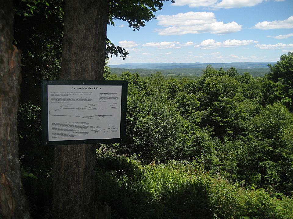
From the Putney Mountain Road trailhead, two trails provide access to the summit. The Ridgeline Trail is the most direct route. This is really a long-distance trail marked in white. Past the summit, it continues down to Banning Road, which it follows north. The traveled portion of Banning Road ends and the Ridgeline Trail continues on the abandoned road to Five Corners--the intersection of five trails--where it becomes a footpath and heads north to the Sunapee Monadnock Viewpoint and The Pinnacle, in the Windmill Hill Pinnacle Association's trail system. It continues all the way to Grafton, Vermont.
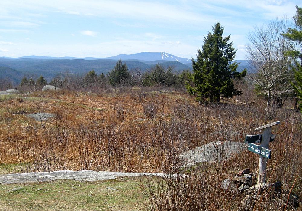
The West Cliff Trail also starts at the Putney Mountain Trailhead and leads almost to the summit. A blue-blazed trail connects the West Cliff and Ridgeline Trails, which can be combined into a short, enjoyable summit loop. The West Cliff Trail continues below and past the summit along the western slopes of Putney Mountain to Five Corners.
A self-guided nature trail opportunity is available from the Putney Mountain Trailhead by following a loop over the summit using portions of the Ridgeline and West Cliff Trails. The loop can be followed in either direction.
From the Grassy Brook Trailhead in Brookline, the Windmill Hill Trail follows an old town road, climbing steeply to Five Corners on the ridge crest. Parsons Cutoff, a new trail as of spring 2020, provides a scenic shortcut to the West Cliff Trail.
From the east, the Ed Dodd Trail climbs at a more moderate grade to Five Corners, using portions of an old town road that crossed the ridge.
Maps and additional information about the Putney Mountain Association can be found on their website. The Association offers guided woods walks and many other activities throughout the year, with learning opportunities for all ages and experience levels. A calendar of events is available on the website.
A self-guided nature trail opportunity is available from the Putney Mountain Trailhead by following a loop over the summit using portions of the Ridgeline and West Cliff Trails. The loop can be followed in either direction.
On May 1st, May Day, Morris Dancers gather on the summit at sunrise.
On most days during September and October (and sometimes into November) each year, at least one person is on the summit participating in the Putney Mountain Hawk Watch, the only full-time autumn raptor watch in Vermont. A kiosk on the summit lists daily and season totals.
Putney Mountain Association's Southern Tier Trails are accessible from the Putney Mountain Trailhead. They are on the south side of Putney Mountain Road.
For more information, please contact:
![]()
Three different trailheads provide access to the trails.
Putney Mountain Trailhead, 443 Putney Mountain Rd, Putney/Brookline
From US Route 5 in the center of Putney village, follow Kimball Hill/Westminster Road 1.1 miles and turn left onto West Hill Road. Follow West Hill Rd 2.35 miles and turn right onto Putney Mountain Road. Follow this road 2.1 miles to the top of the mountain. Parking is on the right.
From VT Route 30 north of Newfane village, at the sign for Brookline, turn onto Radway Hill Road (which becomes Grassy Brook Road at the West River bridge) and follow it 1.4 miles to a 'T' intersection and turn right onto Putney Mountain Road. Follow this road 2.3 miles to the top of the mountain. Parking is on the left. Note: no access from this direction in winter.
(PMA's Southern Tier trails start directly across from this trailhead.)
Grassy Brook Trailhead, 879 Grassy Brook Rd, Brookline, VT
From VT Route 30 north of Newfane village, at the sign for Brookline, turn onto Radway Hill Road, which becomes Grassy Brook Road at the West River bridge and soon turns left. It's 4.8 miles from Route 30 to a road sign for Windmill Hill Trail. Turn right here. The trailhead is a short way down this road on the left.
Ed Dodd Trailhead, 161 Holden Rd, Westminster, VT
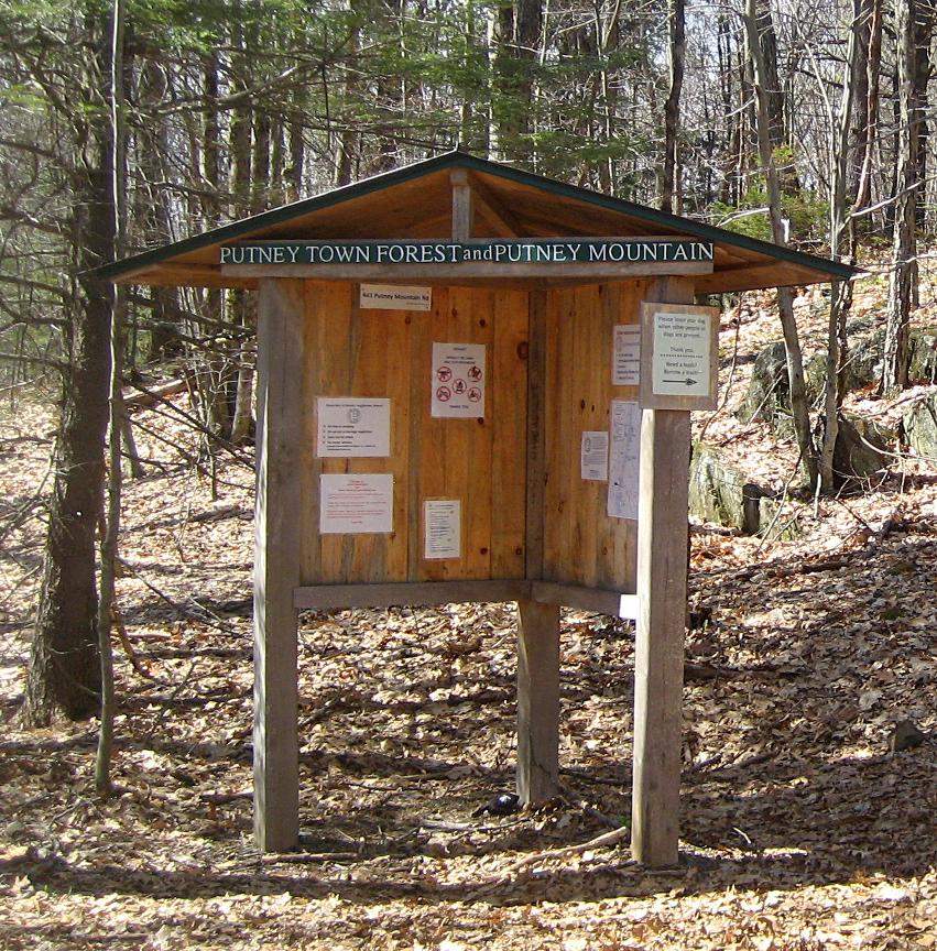
From the center of Putney village, follow Kimball Hill/Westminster Road 1.75 miles and bear left onto Hickory Ridge Rd. In 0.5 miles, at the end of pavement, bear left onto Tavern Hill Road; 0.15 miles later, after passing Black Locust Road, bear right onto Brook Road, and follow it to the end. Turn right onto Windmill Hill Road South and continue 0.8 miles. Turn left onto Holden Road. Parking is available 0.15 miles up the road on the left. The Ed Dodd Trail begins on the right, and a kiosk is 0.25 miles up this trail.
Success! A new password has been emailed to you.