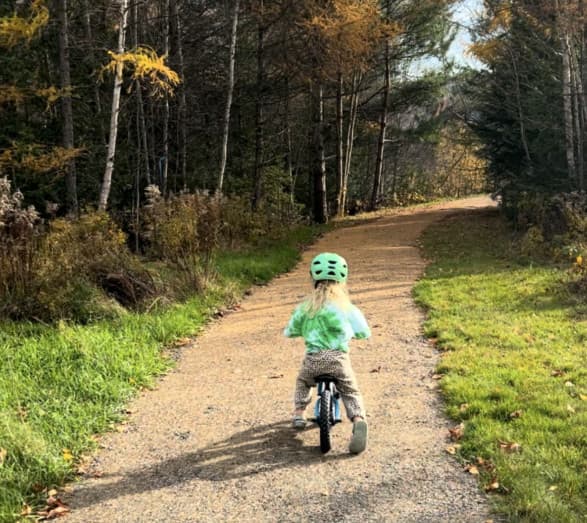
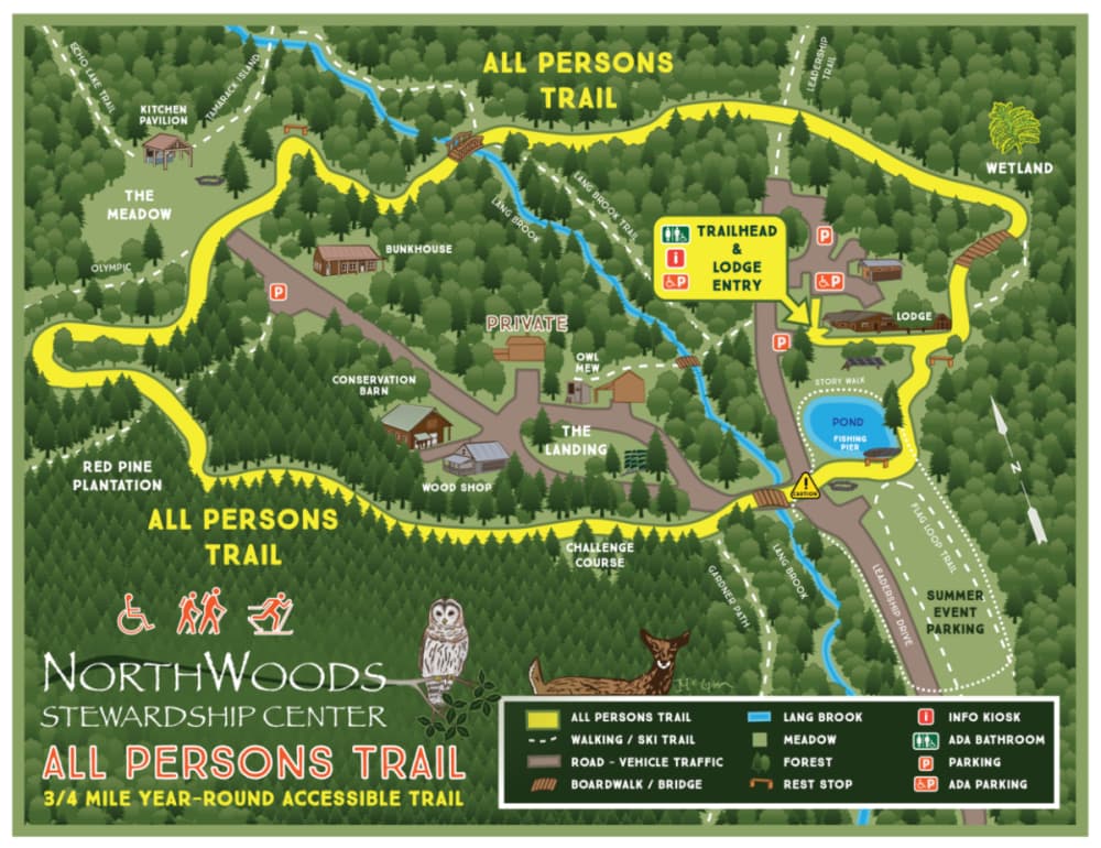
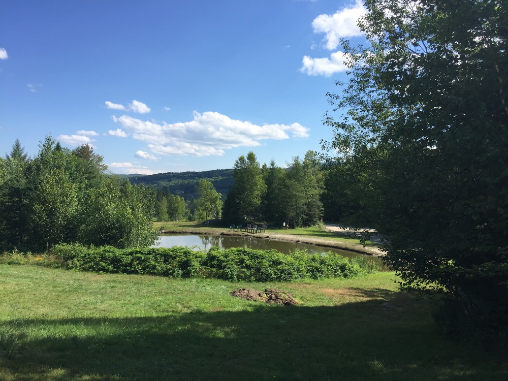
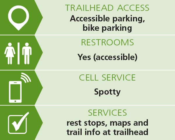
The All Persons Trail (0.8 miles) provides a winding tour of the northern hardwood forest as it encircles campus, over rolling terrain. The trail is ADA-compliant and designed to welcome everyone—specifically those who use wheelchairs, adaptive equipment, mobility aids, and small children in strollers or on balance bikes. Features include an accessible fishing pier at the NorthWoods Pond, a bridge crossing of Lang Brook, and a wetland boardwalk. See Trail Access Information below for more information about this Accessible Experience, or visit the NorthWoods Stewardship Center's All Persons Trail page for additional descriptive details. Take a ride on the All Person's Trail with John Guttermen in his video of the trail.
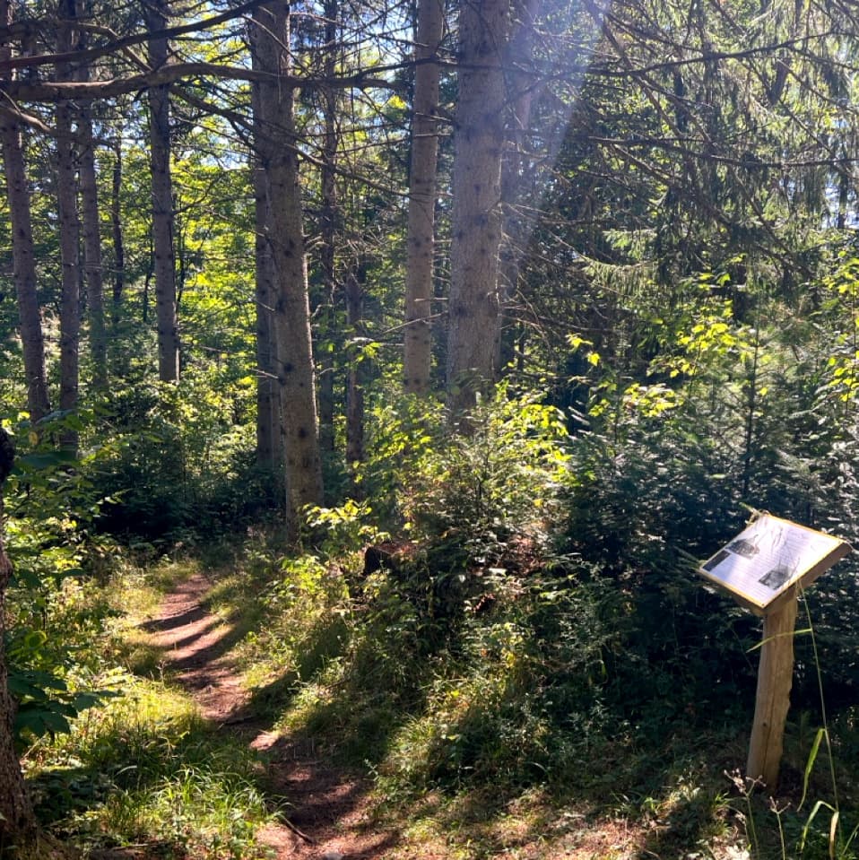
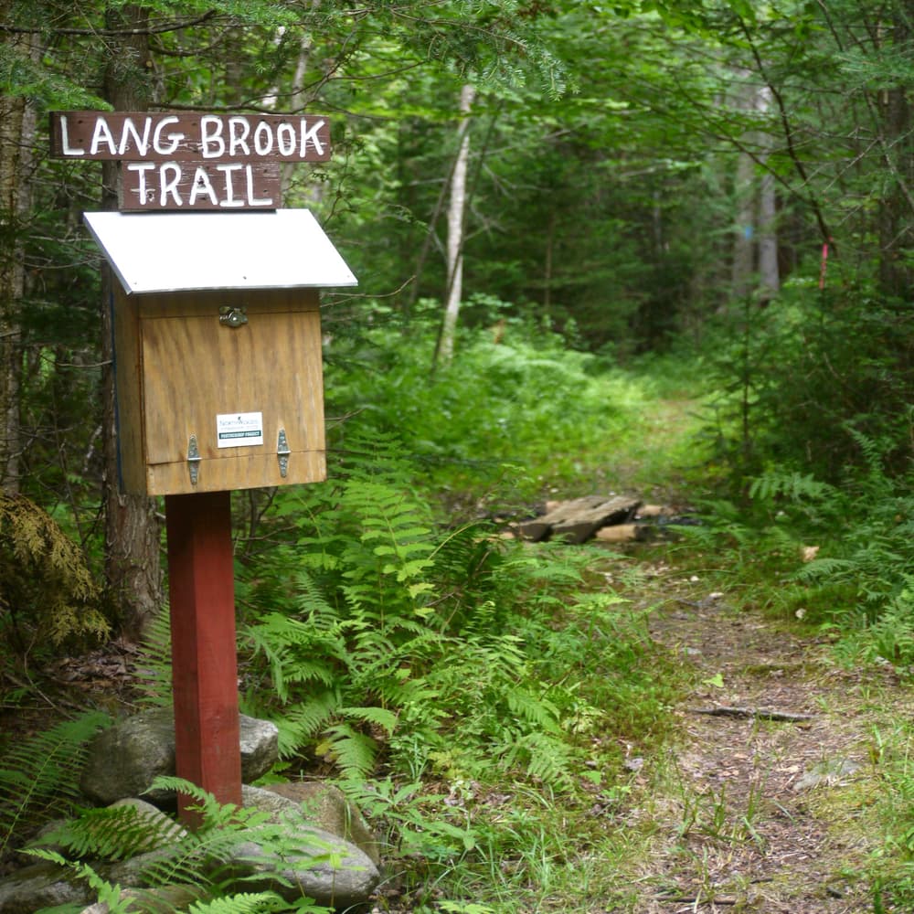
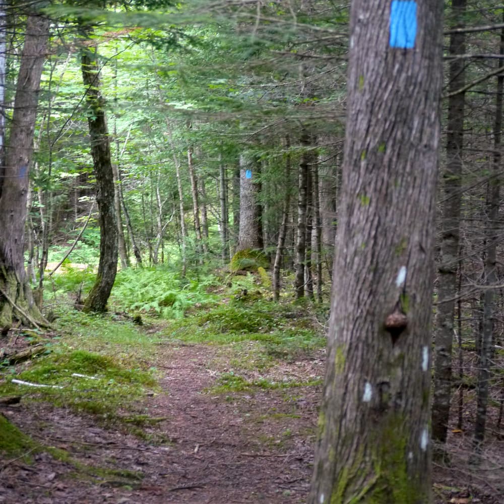
The Lang Brook Trail (0.5 miles) is an interpretive trail which follows Lang Brook upstream for much of its length to a small beaver pond. Eight signposts along the blue-blazed trail offer views of distinctive habitats and native species, including topics like species succession, glacial geology, and wildlife habitat. Continuing to follow blue blazes through junctions with the All Persons Trail and winter ski trails, visitors reach the beaver pond, where they can either return the way they came or keep left to loop around and follow the Echo Lake Trail east back towards campus. (Use caution when crossing over this trail's bog bridging which can be slick when wet.)
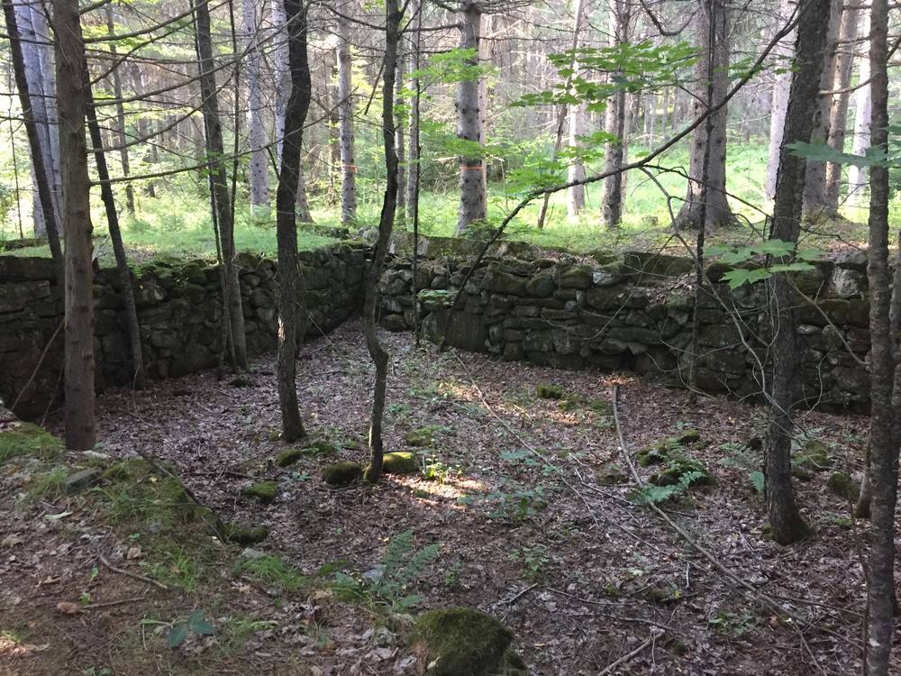
The Gardner Path (0.7 miles) is an interpretive loop that traces the historical signs of human habitation on the NorthWoods land. From the trail head junction with the All Persons Trail, yellow blazes lead visitors through a pine plantation and past the Lang family homestead and round barn foundation (circa 1908), with nine interpretive signposts providing information about the human and ecological history of the property, from the stone farm foundations, to wildlife habitat, and the importance of the nearby Clyde River as transportation for the Abenaki, the first people of the region. The trail follows signs of past and current land use and loops back to join the All Persons Trail. Visitors can turn right to continue following interpretive signposts along the accessible trail and back to the Gardner Path trail head.
The Echo Lake Trail (0.5 miles), Leadership Trail (0.3 miles), Above & Beyond Trail (0.6 miles), and Hopkins Hill Trail (1.7 miles) explore the forests farther away from the main campus.
Additional trailheads and parking lots offer access to the Echo Lake Shore and Wolcott Trails to the west, and to Beaver Pond to the north.

Please respect the historic nature of the foundations on the Gardner Path and for your safety, do not climb on the granite walls.
The NorthWoods trails are available free of charge, however a $5 per day donation is suggested to support trail management.
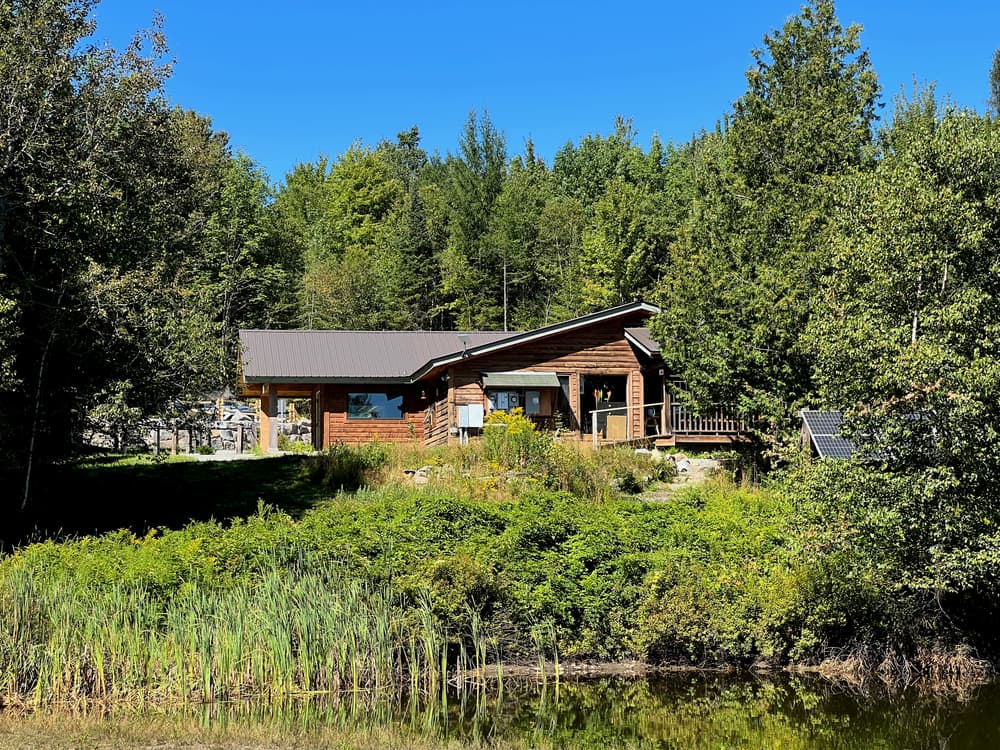
For more information about the trails and the land, visit the NorthWoods Stewardship Center online, or contact:

From Island Pond, drive west on VT-114 (Railroad Street) and continue for 1.2 miles. Turn left onto 5 Mile Square Road, then immediately right onto 10 Mile Square Road and continue for 1.4 miles. Turn left to stay on 10 Mile Square Road where it meets with T-44, and continue for 1.2 miles. Turn right onto Leadership Drive and continue straight for 350 feet to the Welcome Center.
Success! A new password has been emailed to you.