The Moat Mountain Range rises above North Conway and encompasses North, Middle, and South Moat Mountains, connected by the Moat Mountain Trail which traverses the ridge. The North Moat-Red Ridge Loop is a popular 10 mile hike from the Diana's Baths trailhead, while a longer north-south traverse of the entire ridge is possible with car or bike shuttling from the South Moat Trailhead.
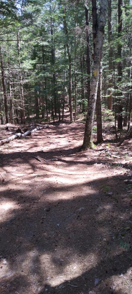
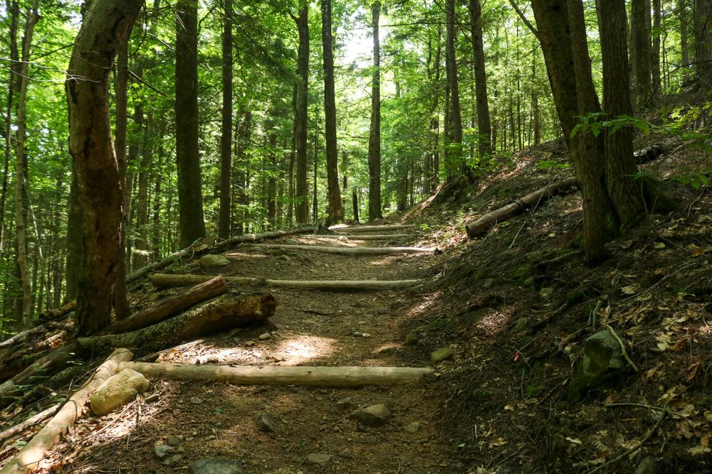
Moat Mountain Trail: The Moat Mountain Trail is a 9 mile trail beginning from the Diana's Baths parking area on West Side Road and traversing the peaks of North, Middle, and South Moat Mountains. The southern terminus of the trail is located off Passaconaway Road. From the Diana's Baths parking area, the Moat Mountain Trail travels 0.6 miles along the widened accessible trail to Diana's Baths, a popular scenic attraction and swimming area. From the baths, the trail continues as a singletrack hiking trail uphill 0.6 miles to the junction with the Red Ridge Trail. From the junction, the Mountain Mountain Trail rises 2,400 feet in 3 miles to the open summit of North Moat Mountain. The trail continues 5 miles south over Middle and South Moat Mountains to the South Moat Trailhead on Passaconaway Road.
Red Ridge Trail: The Red Ridge Trail offers a popular loop over North Moat Mountain by way of the Red Ridge, a low elevation exposed granite ridgeline that affords broad views of the surrounding area along the climb to the Ridge. The Red Ridge Trail begins 1.2 miles up the Moat Mountain Trail, and climbs 3.3 miles up Red Ridge to the ridgeline of the Moat Mountain Range.
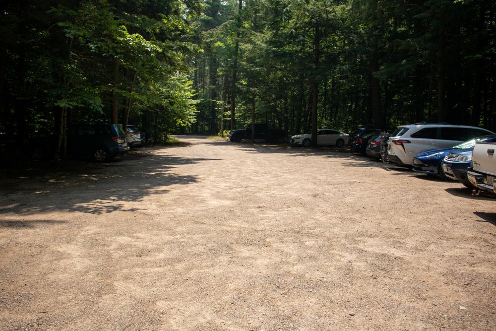
Please note that the Diana's Bath area is a popular destination that can become crowded, especially on summer weekends. If the parking area is full when you arrive, please park at the southern trailhead to access the Moat Mountain Range.
Fees: Day use of the Diana's Baths parking area is $5.00 per vehicle
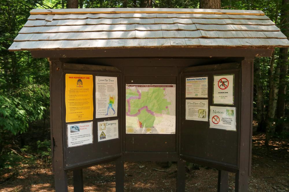
Before you hike, know the hiker responsibility code and be prepared:
![]() Visit the hikeSafe website to learn more!
Visit the hikeSafe website to learn more!
For more information, visit the White Mountain National Forest trail page, or contact:
![]()
Diana's Baths / Moat Mountain Trailhead: From downtown North Conway, head West on River Road. In 1 mile, River Road turns to West Side Road; continue straight on West Side Road for 1.4 miles, and Diana's Baths is located on the left.
South Moat Mountain Trailhead: From Conway Village at the 4-way intersection, head north on West Side Road. In 1.0 mile, turn left onto Passaconaway Road. Continue for 3.2 miles on Passaconaway Road, and the trailhead is on the right.
Many people choose to hike this trail. For a less busy hike experience, consider visiting midweek, rather than on weekends. Use Trail Finder to identify other nearby trails. If the parking lot is full when you arrive, please choose another trail. Be considerate of your fellow trail enthusiasts - pass at safe distances, and move on from viewpoints if others are waiting.
The White Mountains are beautiful, but they can also be treacherous. Weather can change quickly. Many trails are narrow, steep and rocky. Educate yourself about the challenges you will encounter on the trail you plan to hike. Visit the hikeSafe website to learn more about how to prepare for hiking in the White Mountains.
Success! A new password has been emailed to you.