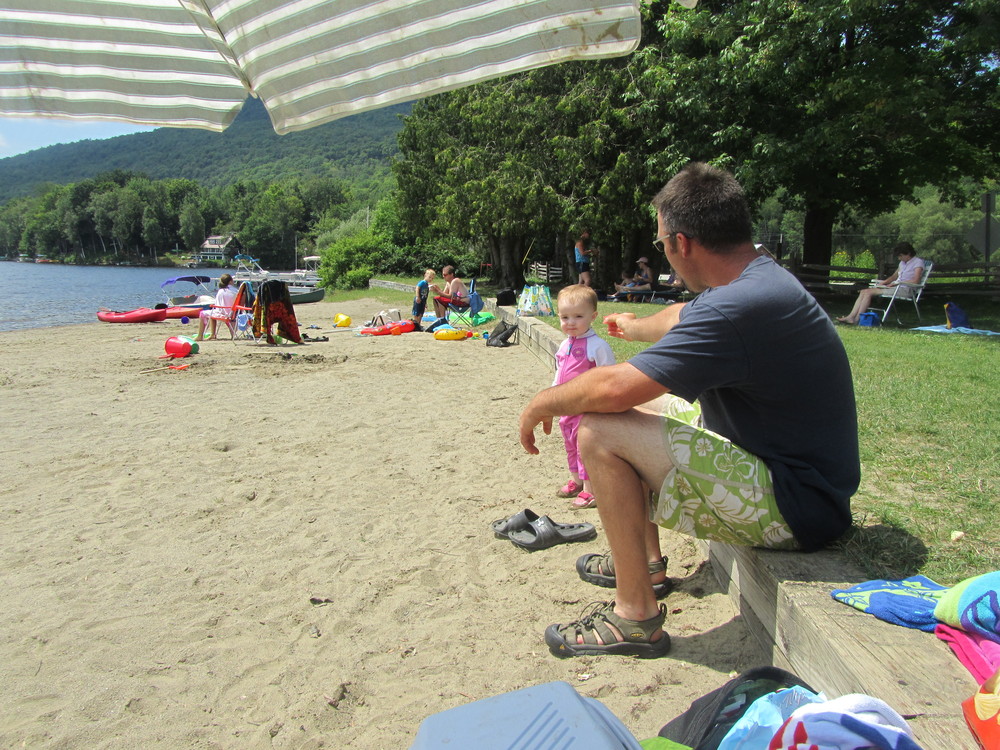
Tucked between the shadow of Elmore Mountain and the shores of Lake Elmore, Elmore State Park offers a variety of recreation activities including hiking, camping, boating, and swimming. The park has three hiking trails of varying difficulty.
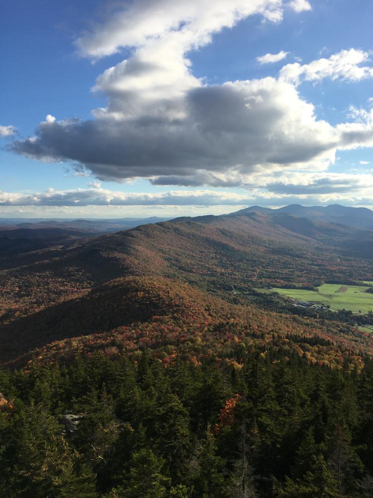
Ridge Trail: (2.3 miles one-way) The Ridge Trail can be accessed from the trailhead at the parking lot. Follow this trail for 0.3 miles, then the Ridge Trail turns off to the right. From there the trail heads east and makes its way up to a ridge. The trail turns and follows the ridge south and passes by Balancing Rock and ends at the summit of Elmore Mountain, where hikers can climb a fire tower with beautiful views of the surrounding area. From the top, hikers can take Ridge Trail back down or connect to Fire Tower Trail to make a loop.
Fire Tower Trail: (1.7 miles one-way) The Fire Tower Trail leaves from the parking lot and heads southeast up Elmore Mountain. On the way up, the trail passes a former cabin site and terminates at the summit of Elmore Mountain and the fire tower which has beautiful views of the area. Fire Tower Trail can be taken back down, or hikers can connect to Ridge Trail at the summit to make a loop.
Mountain Brook Nature Trail: (0.5-mile loop) A self-guided tour, using brochures available at the contact station, of the natural and cultural history surrounding the park. The trailhead is located on the northern side of the parking lot.
Elmore Mountain, elevation 2,608 feet, is in the "Hogback Range." Most of the forests are hardwood.
Pets are not permitted on the beach, but are allowed elsewhere in the park on-leash.
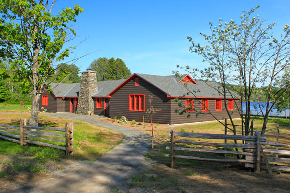
For more information about the park or the trails, visit the Vermont State Department of Forests, Parks, and Recreation or contact:
![]()
From Stowe, take VT-100 north (Maple Street) and continue for 8.1 miles. Turn right onto Historic VT-100 and continue for 0.7 miles, then stay straight onto Upper Main Street. Continue straight onto VT-12 south (Elmore Road). The park is on the right after 3.6 miles.
To access the trailheads during the park season, continue straight on the main park road to the contact station to pay the entrance fee and then follow the mountain road to the parking lot at the end where the trailheads are located. During the off-season, parking for the trails are located in the day use parking area, which can be accessed from Beach Road off of VT-12. You will need to walk the park roads up to the beginning of the trails. There is not consistent plowing in the winter.
Success! A new password has been emailed to you.

Wear good boots and be careful if it’ has rained; there can be mucky spots. The trail is well marked in blue and is wide enough that I didn’t worry about ticks. You won’t be disappointed choosing this climb!
#accessible