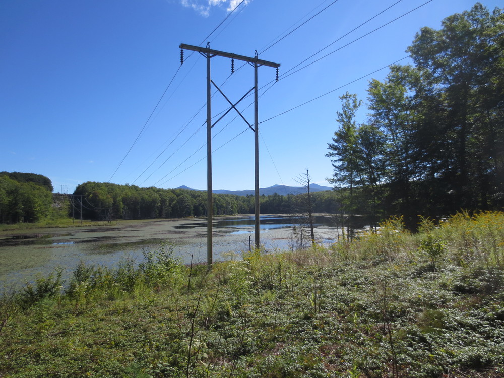
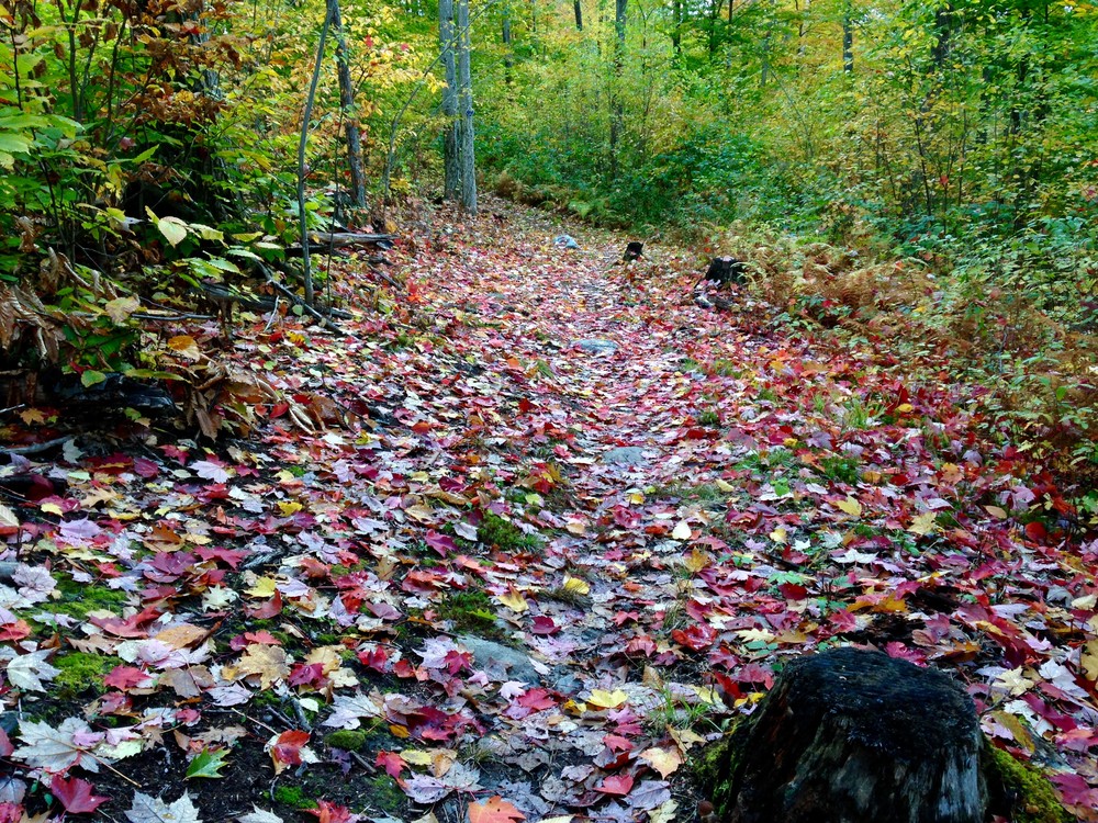
This trail parallels the old road that connected Rutland to Proctor over Pine Hill from late 1700s to late 1800s. The trail is 5.1 miles long (one-way) with moderate/difficult elevation gain in the middle. After going between Rocky and Muddy Ponds (from Pine Hill Park), cross a small brook and go up a very challenging uphill. The reward is the downhill to Proctor which passes Reynolds Reservoir which was the town of Proctors water supply many years ago. Muddy Pond is home to ducks, geese, beavers and blue herons. From the power line crossing Muddy Pond there is a great view of Blue Ridge Mountain and Pico.
Please stay on the blazed trail and respect private landowner’s property. Do not to stray off onto other logging roads as they mostly lead you dead ends. The Carriage Trail is marked with royal blue blazes.
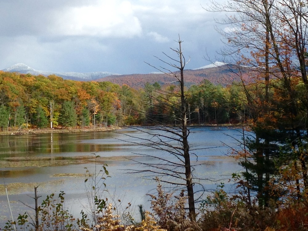
By the early 1900s, this road was known as the Stage Road on the Proctor end and would take you up to what is now Reynolds Reservoir and a little bit beyond. Reynolds Reservoir was the water source for the town of Proctor back in 1930s and is now a lovely scenic pond. At that time the hillside was pasture with little or no forest. A branch of old Stage Road went north and wrapped around Pine Hill ridge and was a section of the Crown Point Road during the Revolutionary War. It came out near Pinnacle Ridge Road in Rutland Town.
On the Rutland end the old road ran across a covered bridge on what is now Rutland Country Club property, around the north side of Muddy Pond to connect with the road coming up from Proctor. The remnants of the section on the north side of Muddy Pond are barely discernible now due to the every growing beaver swamp. The covered bridge on Rutland Country Club property was washed away in the 1937 flood.
Pine Hill Partnership started working with private landowners to reclaim this old road as a trail in 2007. This reclamation project was made easier because of the extensive network of logging roads establish on landowners’ property. It took the Pine Hill Partnership five years of working with private landowners to get permission for access to their property.
We knew this trail was going to represent a challenge to volunteer groups in repairing the old logging roads because of their remoteness. In 2011, Pine Hill Partnership applied for and received a grant from VTrans (Vermont Department of Transportation) to have VYCC (VT Youth Conservation Corp) come in and work on the more remote parts of the trail. VYCC worked for three weeks in 2013 and completed the most difficult portions of the trail. VYCC revisited the Carriage Trail in 2014 to complete work that the previous crew had started.
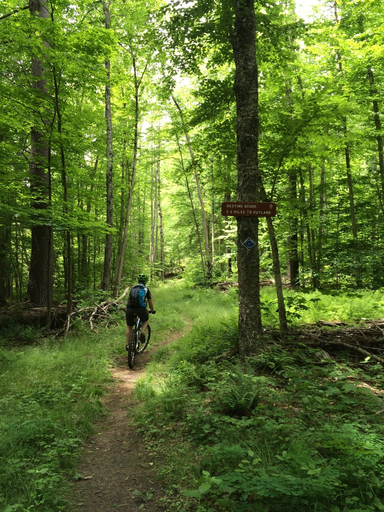
Many mountain bikers will ride out to Resting Brook and turn around to head back to Pine Hill Park or ride part of the Redfield Trails. For more information and downloadable maps please visit pinehillpartnership.org.
Visit Pine Hill Partnership online for more information or contact:
Pine Hill Partnership, Inc.The Carriage Trail starts either at Pine Hill Park at 2 Oak Street Extension, Rutland which is part of the Giorgetti Athletic complex or you can start in Proctor at the skating rink which is behind Proctor Jr-Sr. High School. Starting in either place has a challenging hill in the middle.
Directions to Pine Hill Park:
Success! A new password has been emailed to you.