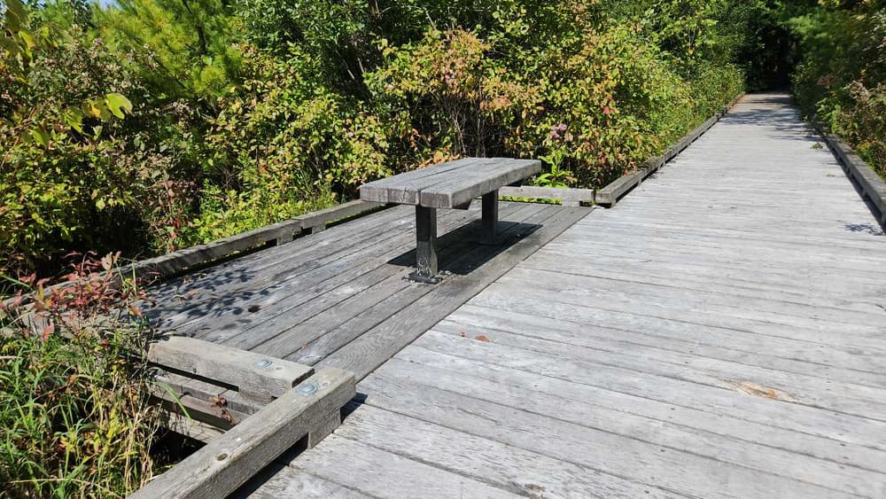
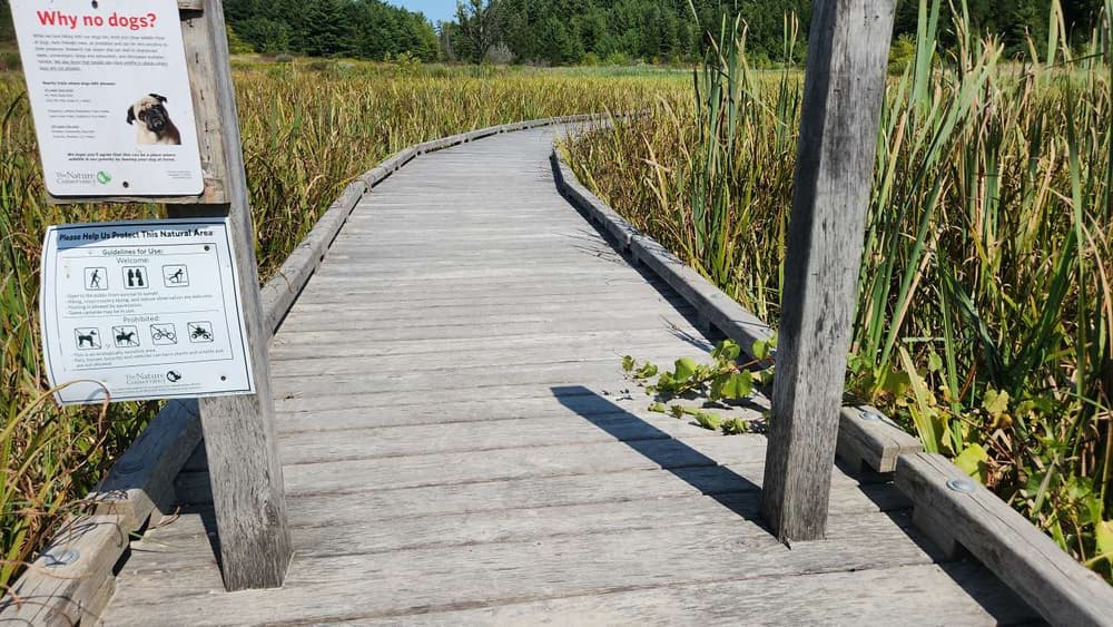
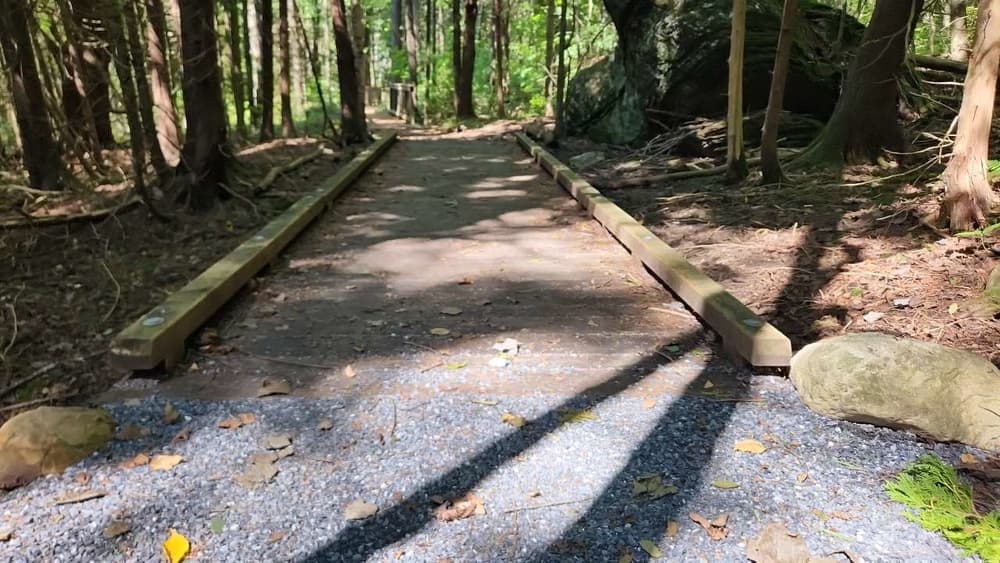
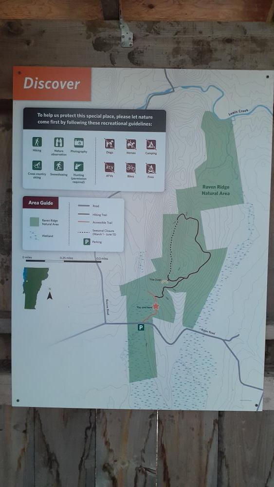
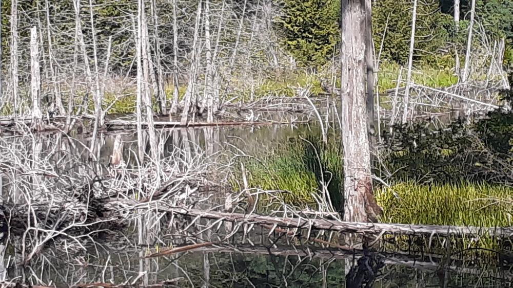
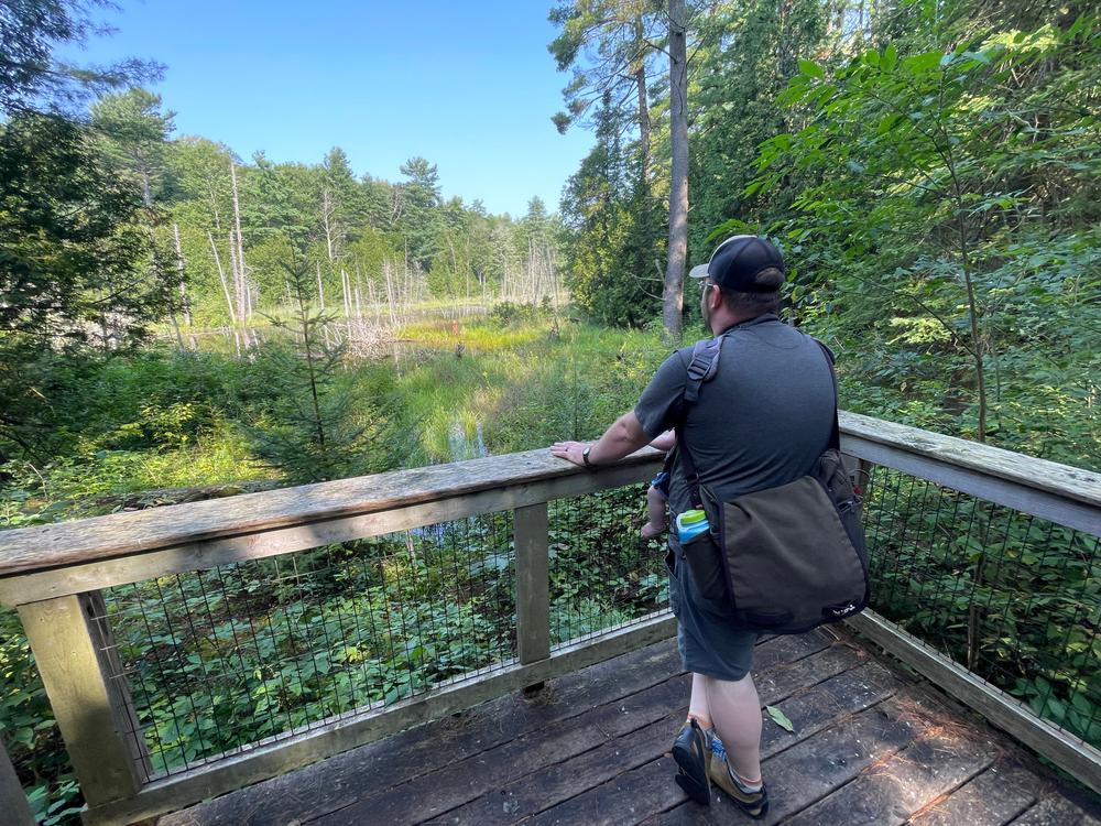
The first section of trail starts with a flat (2% slope and 0% cross slope), 5-foot wide boardwalk with two passing platforms with benches for resting. It continues on a 5-foot wide compacted fine gravel trail to an accessible viewing platform over a beaver pond. See Trail Access Information below for more information about this 0.4-mile trail.
Read Edie Perkins' story about exploring this trail by wheelchair in Trail Talk.
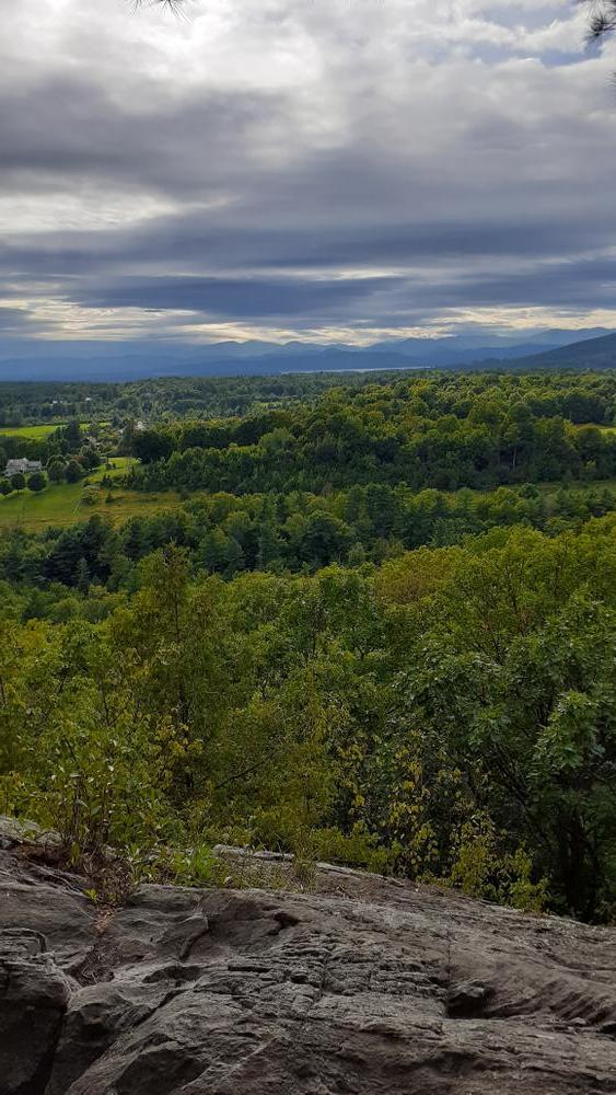
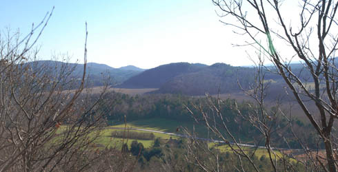
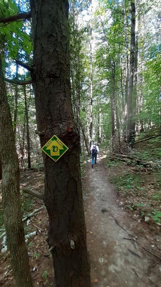
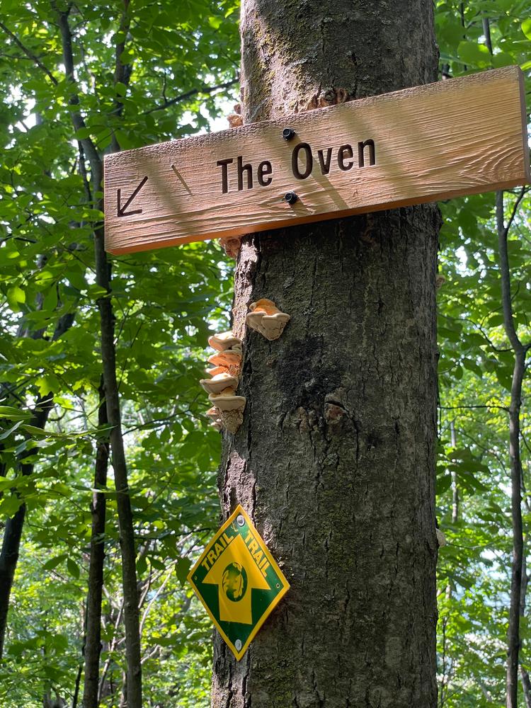
The 1.8 mile Loop Trail diverges from the accessible trail and offers an enjoyable hike up to the ridge with magnificent views of the Champlain Valley, and a chance to explore "The Oven", home to a family of porcupines. Further along the ridge more views open up. The trail loops back through a mixed forest full of boulders and ridges.
(Applies to trails indicated as Access(ible) Experience in trail map)
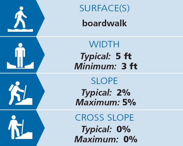
Trail conditions can change without warning. Trail last assessed: 8/30/2024
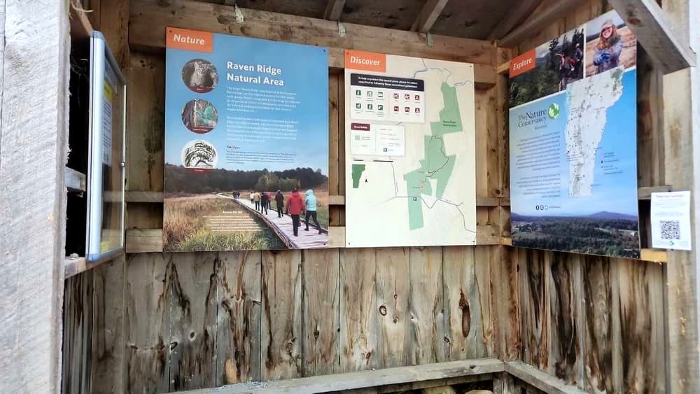
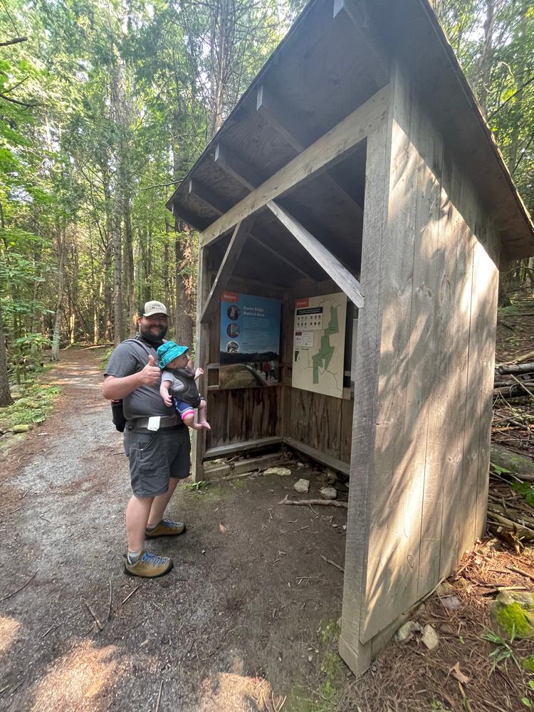
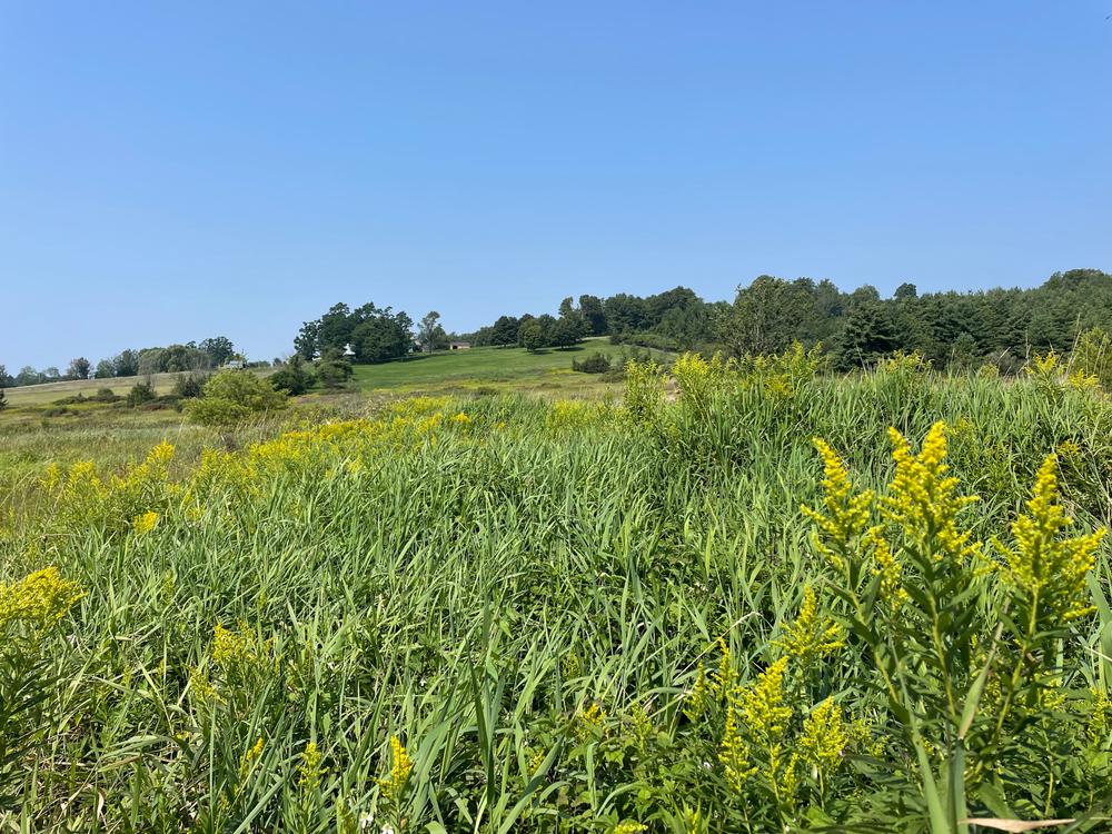
Raven Ridge stretches from Lewis Creek south along a scenic ridge on the boundary of Charlotte and Hinesburg to a large wetland complex in Monkton. The land is a rocky forest refuge for a variety of wildlife including the federally endangered Indiana bat. Bobcats thrive on the ridge's rock outcroppings and ravens nest on the cliff ledges. Lewis Creek and surrounding wetlands provide a diverse ecosystem for aquatic species. Wildflowers are abundant here in spring.
Visit The Nature Conservancy in Vermont online for more information or contact Lynn McNamara, Critical Lands Manager for Northern VT:
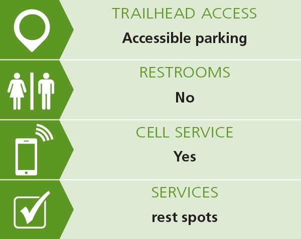
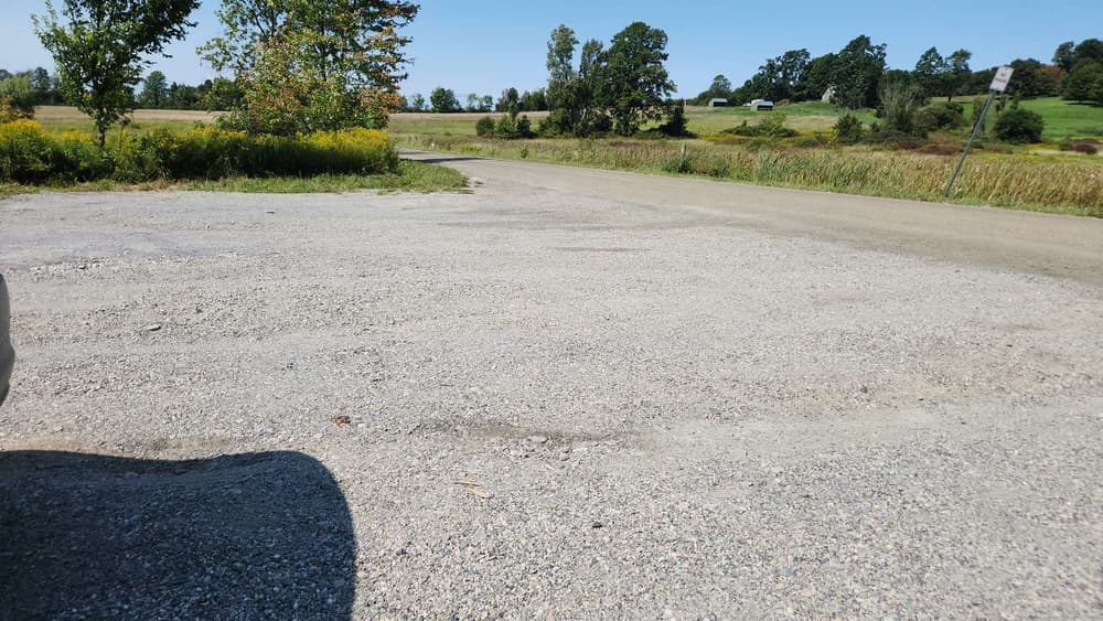
The Nature Conservancy: Montpelier OfficeFrom Route 7, in Ferrisburg, turn onto Old Hollow road heading east and follow for about 1.7 miles. Old Hollow Road becomes Hollow Road. Just after the intersection with Higbee Road, bear left at the fork onto Rotax Road and follow for 2.2 miles. You will see the parking area on the right and boardwalk on the left. Park here and walk in on the boardwalk. Parking includes one designated and signed accessible space. The gravel lot is limited to 6 cars, so please carpool.
Success! A new password has been emailed to you.
