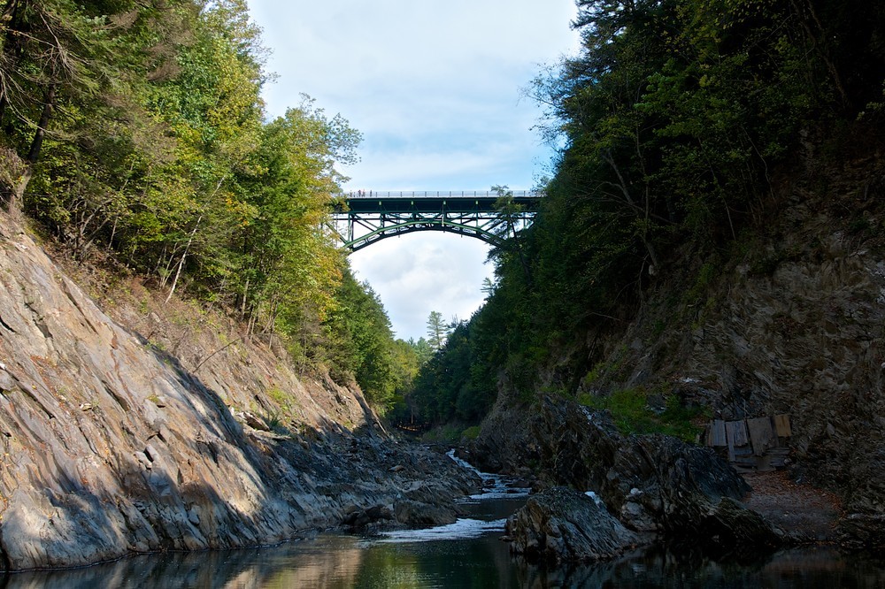
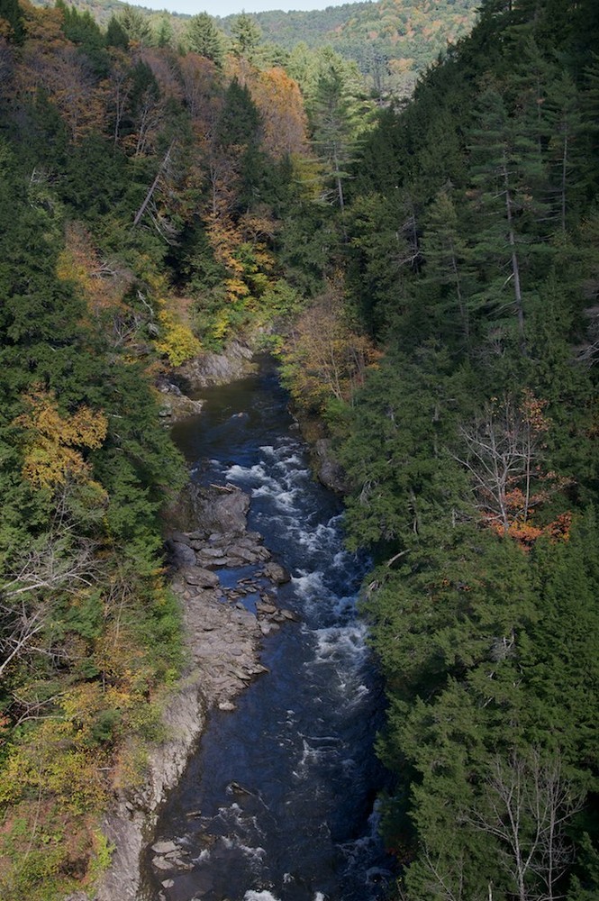
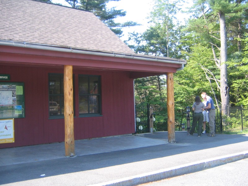
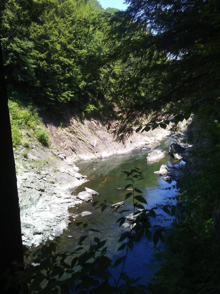
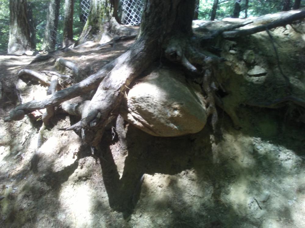
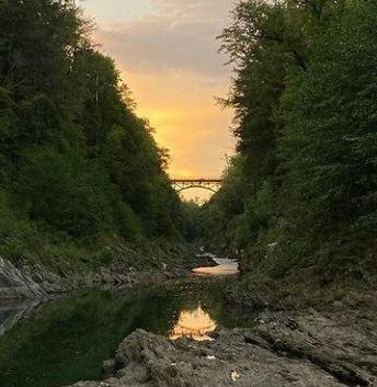
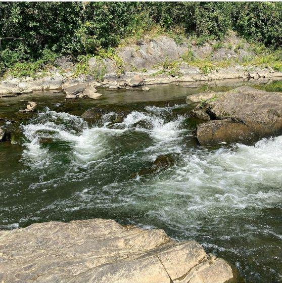
The Quechee Gorge Trail is an easy and scenic out-and-back walk that starts at the boat landing at Dewey Mills Pond. The trail starts at the end of the parking area and follows an earthen dike that divides the pond from the Ottauquechee River. Past the dam, the trail winds along the top of Quechee Gorge. Just after you pass under the Route 4 bridge, you may turn left on the Visitor Center connector trail to reach the Quechee Gorge Visitor Center where there are restrooms, exhibits, and visitor information. If you continue past the VC connector, you reach the bottom of the gorge in about 1/2 mile. Return to the boat launch parking area the same way you started.
The trail can be made shorter by parking at the bridge or the visitor center and departing from there.
An additional 0.25-mile trail provides a connection from Quechee Gorge to the VINS Nature Center and their campus trails.
View a blog post by Edie Perkins about her exploration of Quechee Gorge in her wheelchair in Trail Talk...
The park contains 45 tent/RV sites and 7 lean-to sites which are located in the camping area. Two bathrooms with showers ($) serve the campground. Most sites are large enough to accommodate large RVs. There is a sanitary dump station, but no hookups. A large field and play area are also in the campground.
Visit VT Department of Forest, Parks & Recreation online for more information or contact:
VT Dept. Forests, Parks & Recreation Region 1: Springfield RegionTravel about 3 miles on Route 4 from Exit 1 from I-89 toward Woodstock. Turn right onto Dewey’s Mills Road after a group of restaurants and shops. This is the last road before Route 4 crosses the Ottauquechee River. At the end of this road, turn left on Quechee Main Street toward Quechee, and then take an immediate left into the Dewey’s Mills Pond parking lot just before the Quechee Inn at Marshland Farm. The ditance from Route 4 is approximately 1 mile. A sign reads “Deweys Landing.” Alternatively, one may park at the Quechee Gorge Visitor Center on Route 4 adjacent to the gorge. Winter parking is at the visitor center.
Success! A new password has been emailed to you.
