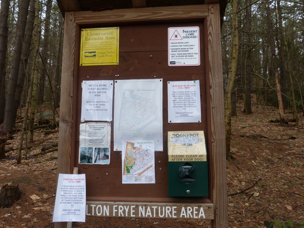
A 1.5-mile trail network on a 36-acre conserved property that is adjacent to the Marion Cross Elementary School. The area is owned by the town of Norwich, managed by the Milton Frye Natural Area Committee, and conserved by the Upper Valley Land Trust.
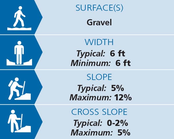
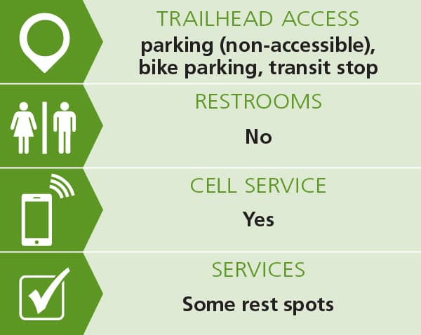
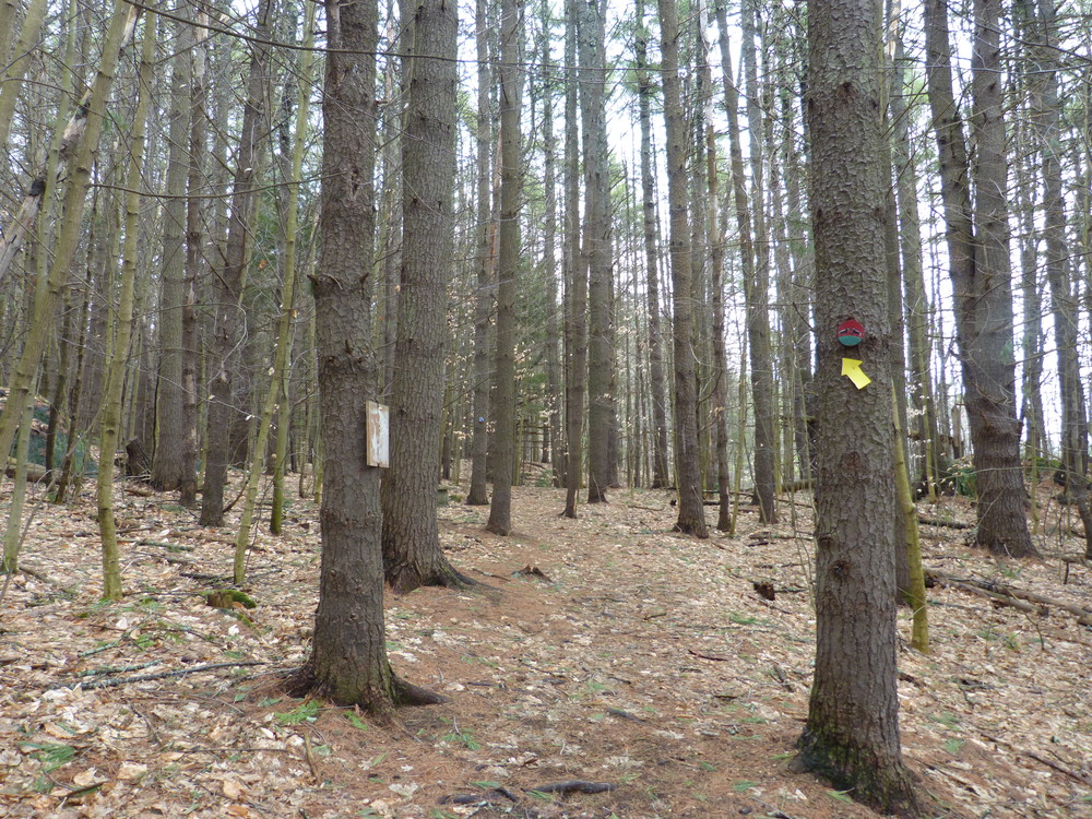
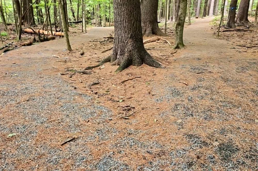
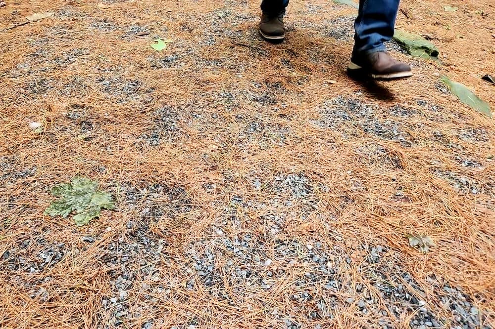
All trails are relatively short. The most accessible route, as indicated on the map, is a 6-foot wide gravel and stone dust surfaced trail with low slopes and cross slopes. See Trail Access Information below for more information about this Accessible Experience. A few benches are scattered throughout the trail network.
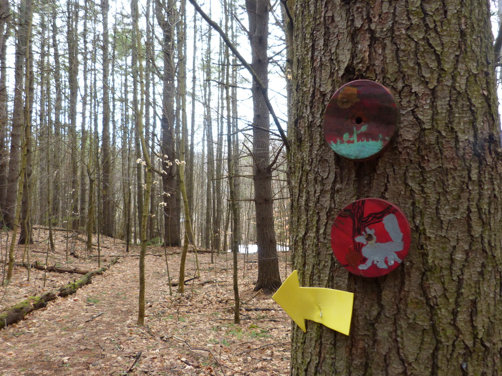
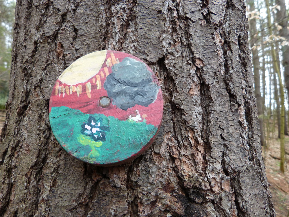
Trails are for foot travel only. Dogs are allowed, but must be on a leash at all times and owners are required to carry out dog litter. The Nature Area also contains historical markers, interpretive signs, and several marked orienteering locations with a map locating them at the trailhead. Cross-country skiing is allowed. Please be respectful of natural features. Wheeled vehicles are prohibited.
Extension Suggestions: Other loops are possible and marked on the trailhead map. About 75 yards after leaving the meadow and taking a right, a trail breaks off to the left and heads up a small valley, gradually climbing the hillside to the top of the ridge, before looping back to the middle trail. It is designed as a ski trail with gradual ascents/descents and wide corners, but it is not groomed. Natural hazards and snow conditions exist. (Note: Many unauthorized trails have arisen in the nature area. Please do not follow these trails, as repeated use will tramp them down further.)
Trail conditions can change without warning. Trail last assessed: 8/21/2024
The 35-acre Norwich Nature Area is owned by the town of Norwich, managed by the Milton Frye Natural Area Committee, and conserved by the Upper Valley Land Trust.
Visit Town of Norwich online for more information and a printable map or contact:
Norwich Trails CommitteeFrom the center of Norwich, take Main Street toward I-91 and turn left at the east end of the green, in front of the Marion Cross School where a historic sign marks the Theta Chi Fraternity. Follow the driveway toward the Marion Cross School and turn into the first parking lot on the right. The trailhead is at the end of the lot at the Marion Cross School and use is free. Note that the driveway is closed to all traffic during the bus times noted on the driveway sign (7:30 - 8:00 a.m.; 2:50 - 3:20 p.m.).
When school is not in session, parking is generally plentiful. During school hours, parking can be found in the village area of Norwich.
Success! A new password has been emailed to you.
