The entire Carter-Moriah Trail runs 13.8 miles from Gorham to Carter Notch. This route utilizes the first 4.5 miles of the Carter-Moriah trail to ascend Mount Moriah.
The blue-blazed trail begins on a logging road, ascending a steep bank but then soon moderating as it travels through second-growth woods. Upon entering the White Mountain National Forest after about a mile the trail passes through open hardwoods to a shoulder of spruces and a ledge affording decent views.
The trail passes just to the west of the Mount Surprise summit, descends shortly then begins a steep ascent, climbing over ledges with some restricted views. After reaching a more open ledge (at 2.5 miles) the trail reenters the woods, climbing steeply as it winds its way near the top of the ridge.
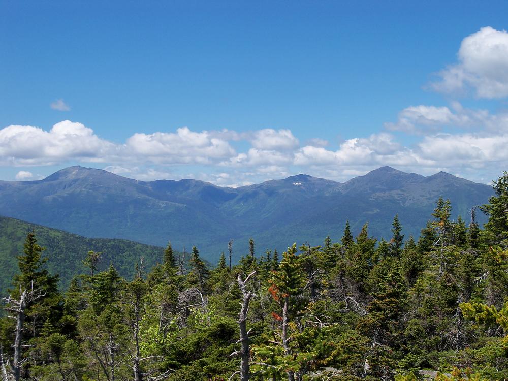
The trail passes the large boulder "Quimby's Pillow" and traverses some ups and downs through the woods before beginning the final 0.3-mile steep climb to the summit. At 4.5 miles a spur path to the west leads to the small rock summit of Mount Moriah (elevation 4,049 feet), with excellent views, particularly to the south and east.
Before you hike, know the hiker responsibility code and be prepared:
![]() Visit the hikeSafe website to learn more!
Visit the hikeSafe website to learn more!
The Mount Moriah trails are managed by the White Mountains National Forest and maintained by the Appalachian Mountain Club. For more information about the trails, please contact:
White Mountain National Forest: Androscoggin Ranger DistrictFollow US-2 east for 1.9 miles from the upper village of Gorham. Turn right onto Bangor Street and proceed 0.5 miles to the turnaround at the end of the street. There is limited space for cars to park on the east side of the turnaround, opposite the houses and away from the posted grassy area. Additional parking with space for more cars is located 0.1 mile before the end of Bangor Street, at the powerline clearing on the east side of the street.
Success! A new password has been emailed to you.
