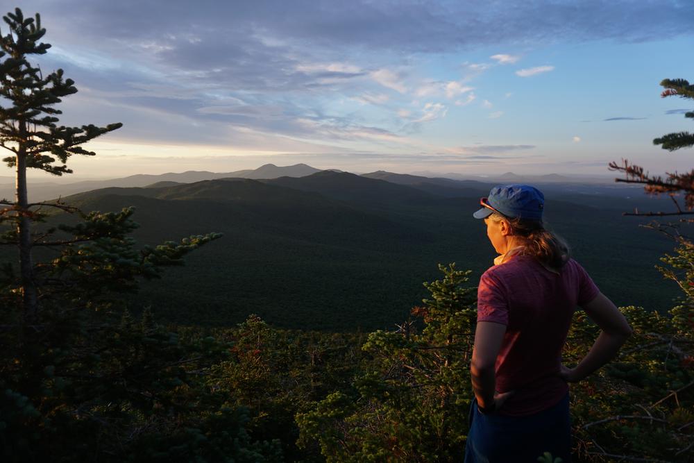
Belvidere Mountain, prominent in the northern Vermont skyline, provides a great mountain hike to a fire tower maintained by the Green Mountain Club at the summit . From the tower, the Green Mountains are visible south to Camel’s Hump. Big Jay and Jay Peak are prominent to the north; to their right stands Owl’s Head and other mountains in Quebec near Lake Memphremagog. On a clear day, the White Mountains are visible to the east. An inactive asbestos mine, once a mainstay of northern Vermont’s economy, lies at the eastern base of the mountain, with another inactive mine on the south slope.
There are multiple trails that access the summit of Belvidere.
The Long Trail travels through the Long Trail State Forest as it climbs the southern slope of the mountain. To access the trail, park at the Eden Crossing parking lot on VT-118. Heading north from the parking lot, the Long Trail crosses Frying Pan Brook and then climbs steadily with some steep grades over ledges to Belvidere Saddle and the junction with the Forester's Trail, 2.2 miles from VT-118. From this junction the Forester's Trail heads 0.2 miles east (to the right) to the summit of Belvidere Mountain, and north (straight ahead) 2.7 miles to Tillotson Road.
From the left turn at the Belvidere Saddle, the Long Trail proceeds north to follow the ridge through spruce-fir forest, then continues through hardwood forest with several openings before approaching a sag at Lockwood Pond. The trail bears to the right around the south shore of the pond, before reaching the Frank Post Trail and Tilloston Camp, 2.4 miles from Belvidere Saddle.
The Frank Post Trail begins from the trailhead at Tillotson Road by paralleling and crossing logging roads to the intersection with the Forester’s Trail, to the left, at 0.6 miles. The Frank Post Trail continues west, crosses a brook, and follows old woods roads steadily uphill. At 1.6 miles the trail begins a steep ascent to Tillotson Camp and the Long Trail, 2.0 miles from the trailhead.
The Forester’s Trail begins at and intersection with the Frank Post Trail, 0.6 miles west of the trailhead on Tillotson Road. The trail ascends gradually at first, crossing a small brook and then the larger Lockwood Brook. After crossing several other small brooks and old woods roads, the trail climbs, following some switchbacks to Belvidere Saddle and the Long Trail at 2.1 miles. The Forester's Trail turns left on the Long Trail and then immediately left again, to continue 0.2 miles uphill to the summit of Belvidere Mountain (elevation 3360 feet) 2.3 miles from the the trail's start at the junction with the Frank Post Trail.
For additional information, visit the Green Mountain Club website, or contact:
Green Mountain ClubFRANK POST TRAILHEAD
From VT-100 in Eden Mills, follow North Road (which becomes Mines Road at the county line) 5.2 miles north, then turn left on Tillotson Road, a gravel public road. Or, from VT-58 in Lowell, take Mines Road 3.1 miles south to Tillotson Road on the right. Follow Tillotson Road 5.8 miles to parking lot at the trailhead at the very end of the road.
EDEN CROSSING LONG TRAIL (VT-118) PARKING LOT
Go 4.7 miles west on VT-118 from Eden to the parking area on the right.
Success! A new password has been emailed to you.
