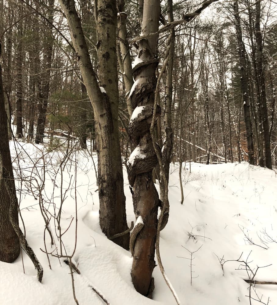
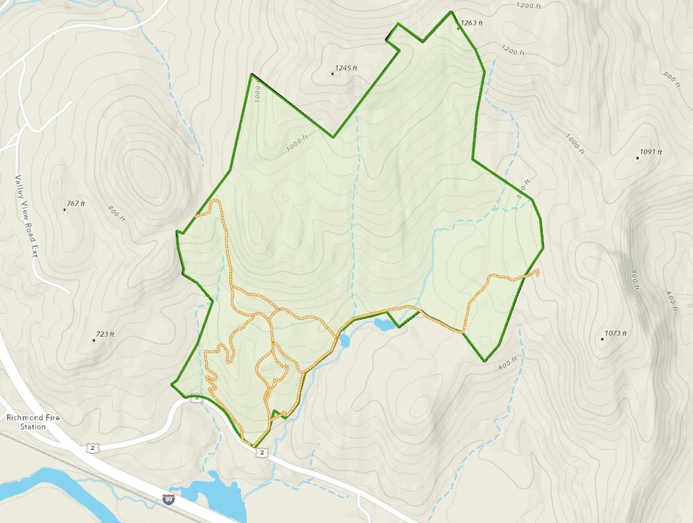
The Andrews Community Forest is a 428-acre, south facing, Town Forest adjacent to US-2, just over one mile east from the village of Richmond. The property rises steeply from an elevation of about 350 feet to a ridge at over 1,000 feet. It represents a key component of a forest block that protects key ecological resources and wildlife habitat.
From the small parking area adjacent to US-2, a narrow gravel access road ascends northwards and is used occasionally to access and maintain high-voltage power lines that traverse the Forest. The southern forested parts of the property include a section of a former VAST trail that crosses the town-owned forest and also provides agricultural access for Maple Wind Farm to two meadows.
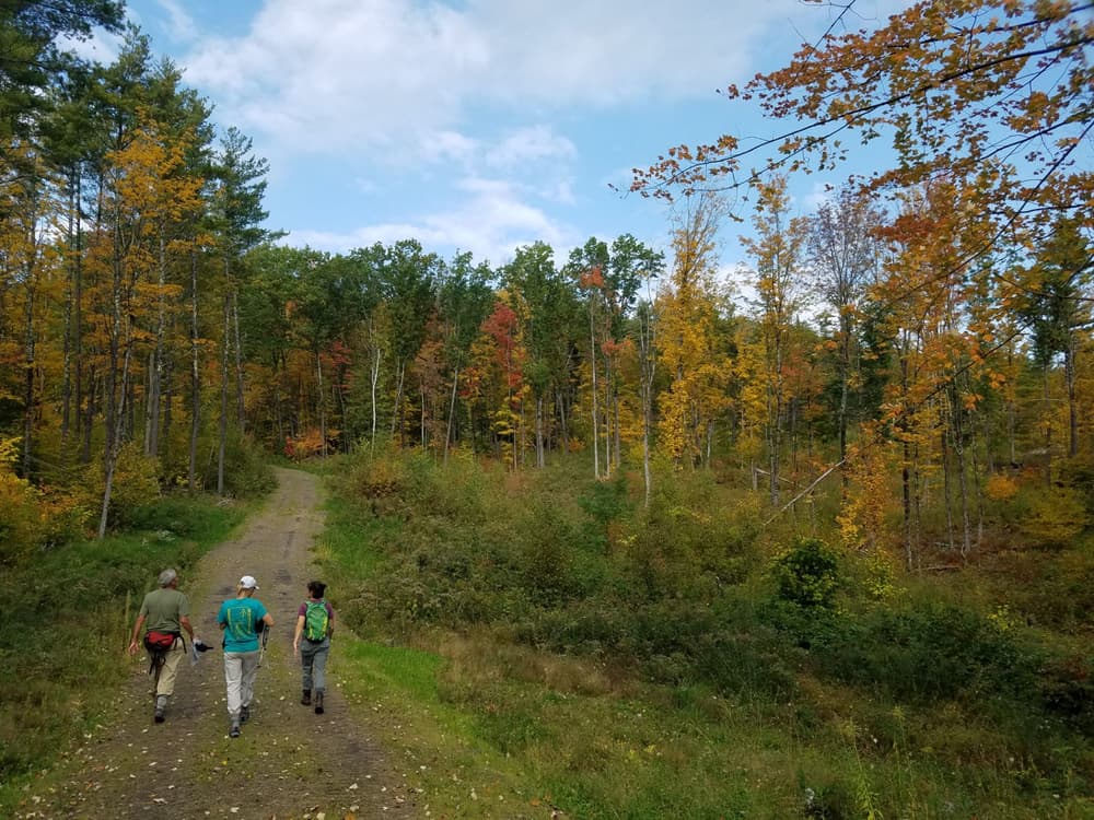
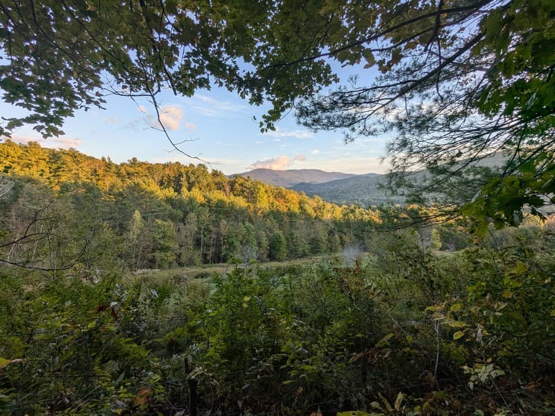
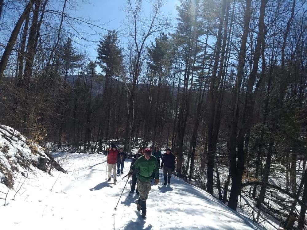
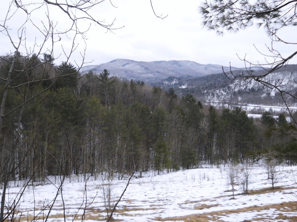
The Access Road (1,975 feet) and former VAST trail (1.5 miles) climb steeply, and connect to several narrow, lightly maintained trails that offer occasional views across the Winooski Valley and towards the Cochran’s ski area and the Green Mountains, including Camels Hump. The Meadow Meander Trail (352 feet) connects the Access Road and to the former VAST trail, including a short section called the Farm Road (850 feet). The Mountain View (1,210 feet) and Urbanik Way (1,209 feet) trails are narrow packed earth/dirt trails that both use switchbacks as they ascend/descend 120 feet and 300 feet respectively.
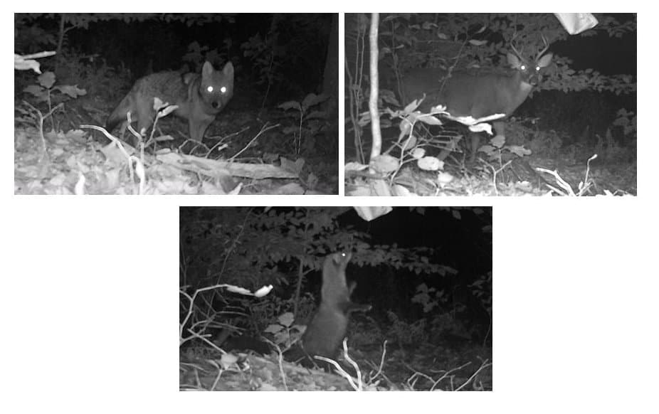
The Conservation Easement provides for dispersed pedestrian access to the entire Forest. Former skidder roads facilitate access for hunting, wildlife observation and other recreational activities.
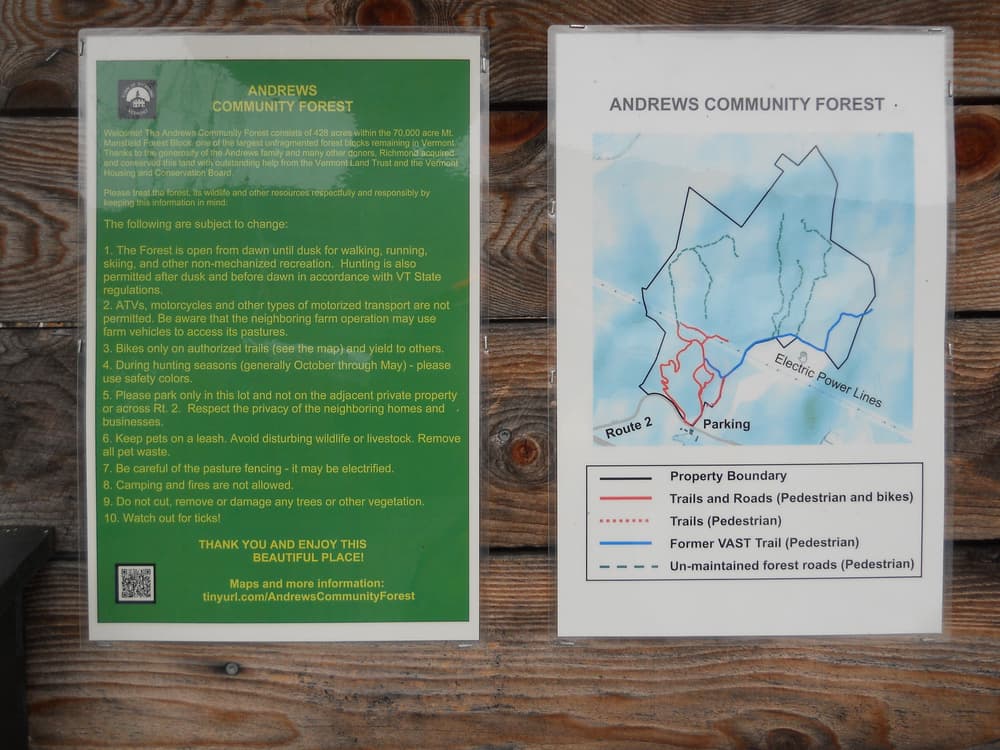
A kiosk at the parking area has a map of the trails and other information, along with a sign-in sheet.
For additional information, visit the Andrews Community Forest website, or contact:
Andrews Community Forest CommitteeTrails access and limited parking are located on the north side of US-2, across from Maple Wind Farm. It is 1.1 miles east from Richmond on US-2, or 2.3 miles west on US-2 from Jonesville.
Success! A new password has been emailed to you.
