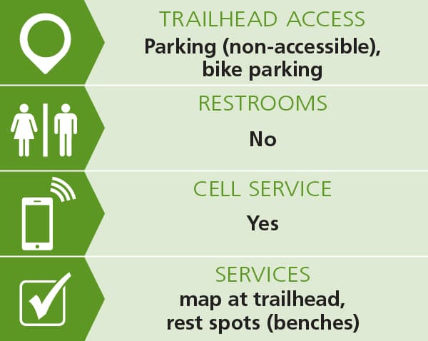
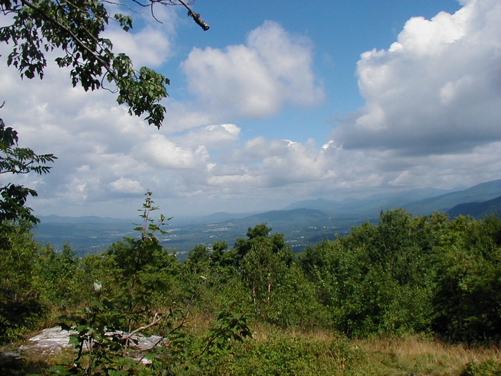
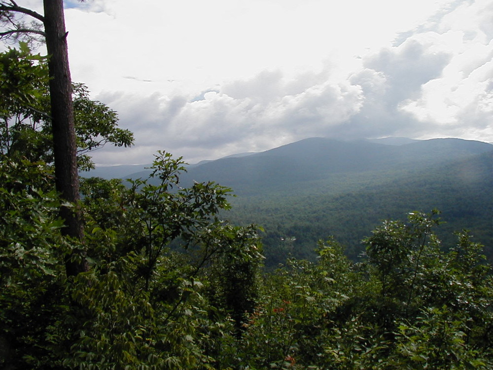
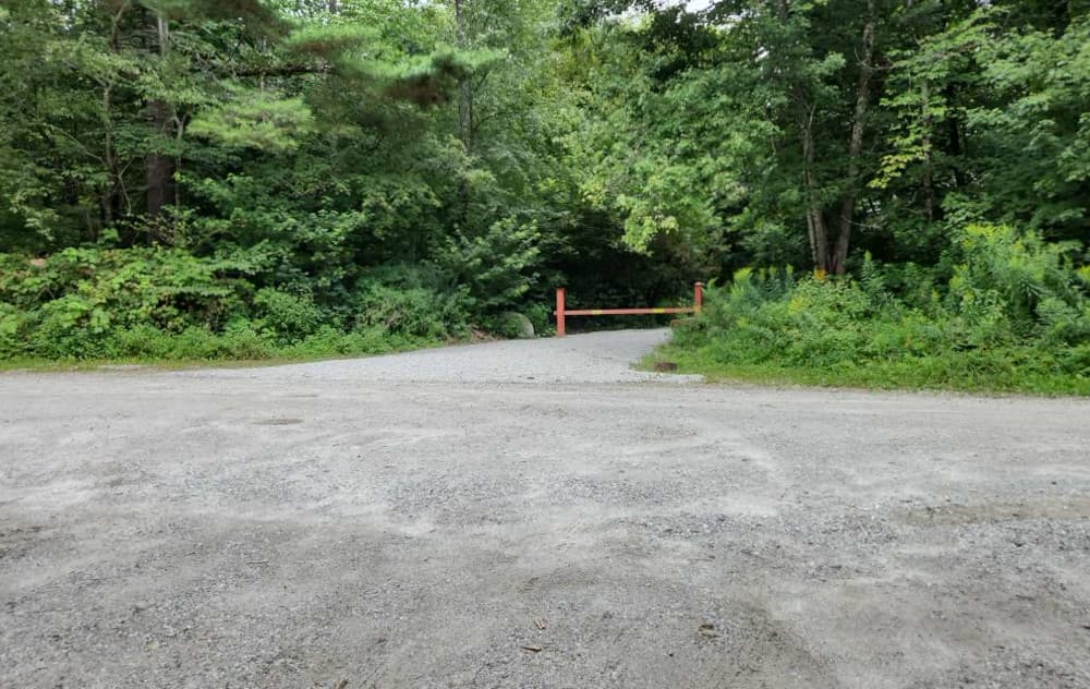
The Bald Mountain Trail begins at the intersection of the Notch Road (town highway) and a gated forest access road. There is a kiosk at that location. The trail follows south along the access road for 1/4 mile before turning (signed) to the west and heading uphill. The trail configuration is a 'lollipop' with a loop at the end of a 1/2 mile section of trail. The loop traverses the summit of Bald Mountain with several great views of the surrounding valleys and mountains, including Pico and Killington. A second loop begins at the summit and travels to the southwest before returning to the summit. Portions of the trail are along skid/woods roads. This trail does have elevation changes so be prepared for some up and down trail walking.
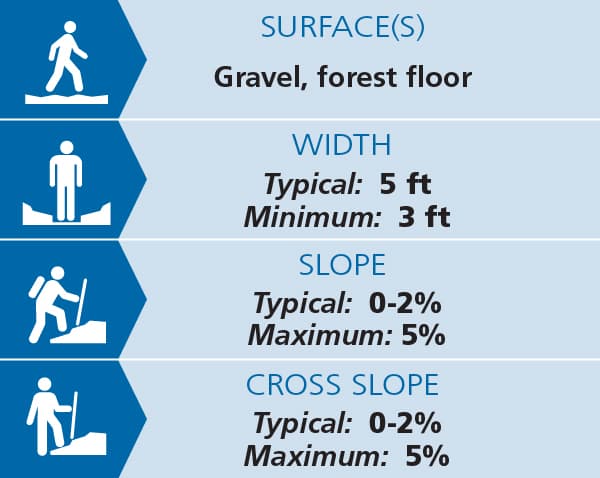
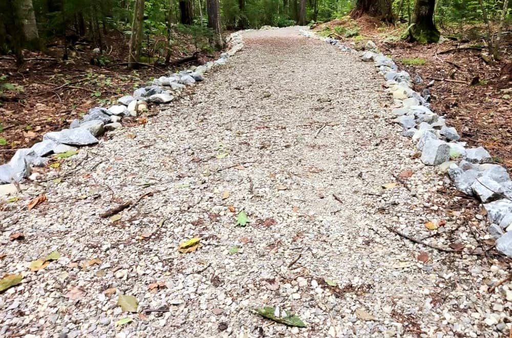
The Tamarack Notch Trail and the Interpretive Trail (see trail access information below for more information about these accessible experiences) begin at the gated access road north of the Notch Road, just north of the Bald Mountain Trail trailhead kiosk. The trail follows an old crushed gravel and stonedust surfaced flat loop road that was originally part of the Civilian Conservation Corps (1930s) camp and later the Girl Scout Camp that was located here. Both the Tamarack Notch Trail and the intersecting Interpretive Trail provide access for many people. Both are generally five-feet wide with low slopes and cross slopes. Maximum slope and cross slope is 5% but the majority of both trails is a steady 0-2% slope and cross slope. Benches are placed alongside the trails.
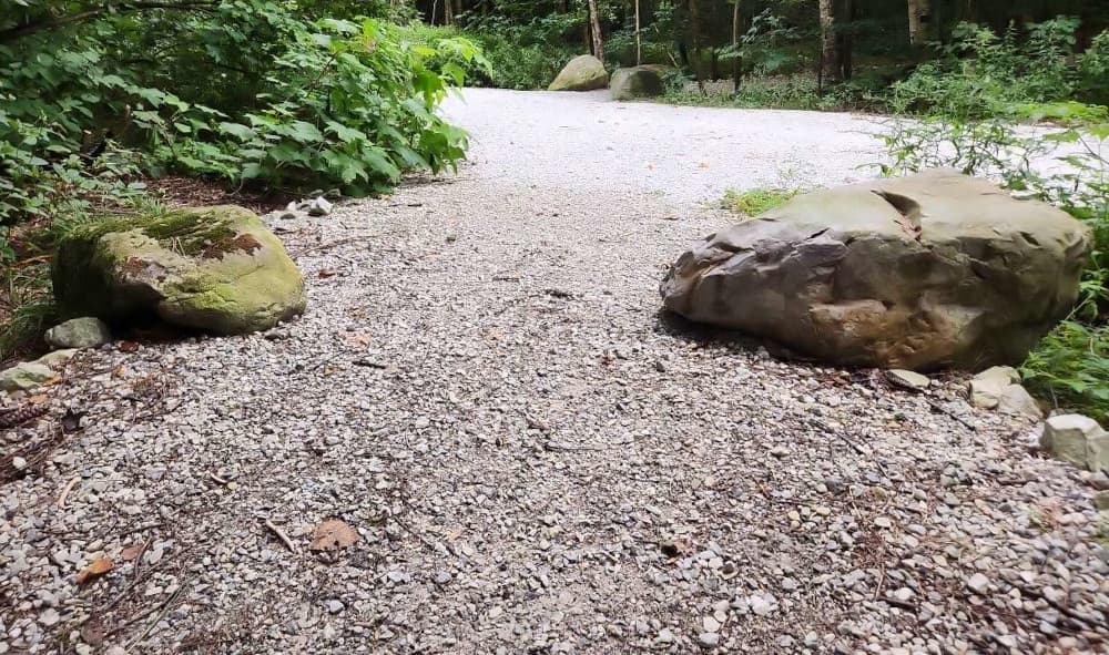
Bollards on the Tamarack Notch Trail narrow the treadway in two places to 36”. This trail follows the old road along flat terrain and loops back to the beginning. The VAST (snowmobile) trail uses part of this trail to access the corridor trail off the property.
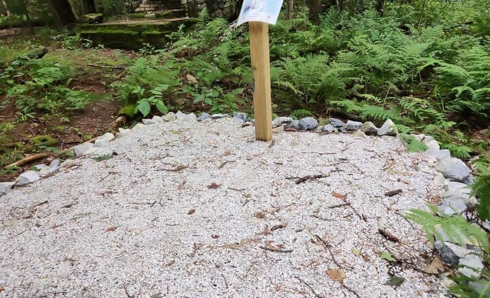
The Interpretive Trail was completed in 2025 with a fresh gravel and stonedust surface and regular interpretive signage.
(Applies to Interpretive Trail & Tamarack Notch Trail)
Trail conditions can change without warning. Trail last assessed: 10/21/2025
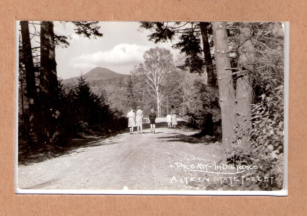
The Bald Mountain Trail is located within the 918-acre Aitken State Forest, with Bald Mountain (2087 feet) at its center. This forested property is popular for hiking, walking, wildlife viewing, hunting, cross-country skiing and snowshoeing.
Visit VT Department of Forest, Parks & Recreation online for more information or contact:
VT Dept. Forests, Parks & Recreation District 2: Rutland DistrictFrom the US-7 and US-4 intersection in Rutland, follow US-7 south to the traffic light at Killington Avenue. Turn east onto Killington Avenue. Follow for 1.8 miles to its end at the junction of Town Line Road and Notch Road. Turn right onto the paved Notch Road (0.0 miles) and continue past the end of the pavement through Tamarack Notch, and bear right at the fork (1.9 miles) where the Wheelerville Road departs to the left. The Bald Mountain trailhead is soon reached on the right (2.1 miles) where Notch Road levels out just before crossing the brook. Park on shoulder. Additional parking is available just past the trailhead on the right.
Success! A new password has been emailed to you.
