History
The land around Trout Pond has been a working forest for some two centuries, while stone walls, foundations, and barbed wire seemingly swallowed by trees indicate that the western part of the tract had an agricultural history. By 1855, several families homesteaded in the area near the present trailhead. The Piper brothers, who ran a steam-powered sawmill near the outlet of Trout Pond, bought the timber lot in 1891. Two other sawmills on the brook also processed lumber that was probably cut in the Trout Pond Forest. A stack of hemlock bark, found on a ridge south of the pond, suggests this material was gathered for the leather tanning trade. By 1870, the Pliny Allen place had found its future as a cellar hole, and by 1946 so too the Gilbert/Smith place.
Wildlife
A canopy of softwoods west of the pond provides fine winter shelter for deer, while a rich wetland complex to the south is home to many birds, plants, and animals. The mature eastern woods offer prime habitat for bear and turkey. Look for waterfowl on the pond.
Forest Management
The Trout Pond Forest is predominantly a mature northern hardwood forest, with pockets of softwood scattered throughout. Timber stand improvement cutting, based on a forest inventory by Ben Hudson of Lyme, took place on parts of the tract in 1998-2000. A 200-foot buffer around the pond protects this sensitive area from disturbance. In 2001 the Conservation Commission, with a grant from the NH Department of Resources & Economic Development, prepared the parking area, re-graded the logging road, and marked the trails. As an Eagle Scout project, Ian Smith led a team which rerouted part of an earlier trail to a drier, more scenic path on Town land.
Please...
Dogs are welcome if they are under the control of their owners. Leave flowers and other plants growing where you found them, and please carry out what you carry in.
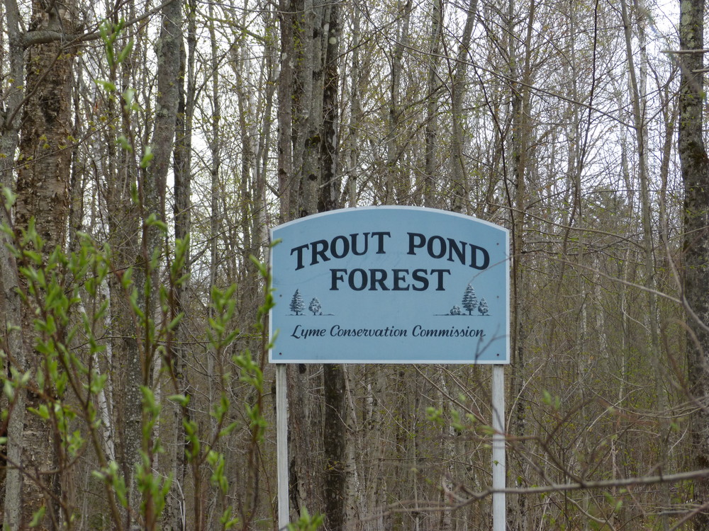
The Town of Lyme acquired 304 acres around Trout Pond in 1990 from the Upper Valley Land Trust. A later gift brought the total acreage to 383. The pond lies in a basin surrounded by Moody Mountain to the north, Smarts Mountain and Lambert Ridge to the east, and Demmick Hill to the south. Trout Pond is a source of Trout Brook, which flows west to Post Pond and Clay Brook to the Connecticut River. In 2003 the Town acquired the 2.5-acre inholding along the pond's southwest side and now owns the entire shoreline and much of the watershed of the 13-acre pond.
The Trout Pond Forest is managed according to a long-term management plan whose goals are to:
Visit Town of Lyme online for more information or contact:
![]()
From the Lyme Center Post Office head east toward the Skiway and turn left onto Acorn Hill Road. Turn right onto Hardscrabble Lane after 1.7 miles. At junction with Pony Hill Lane, continue straight ahead a half mile to the parking area, marked by a blue sign. The trail bears right just beyond the parking area. The access road is rough and may not be suitable for low profile vehicles and is not maintained in winter; if necessary, park at the intersection of Hardscrabble and Pony Hill Lanes.
The access road to this trailhead is in poor condition. Take care and watch for obstacles as you drive or walk in.
Success! A new password has been emailed to you.