The Tracy family has carefully stewarded the forests, fields, and shorelines of their home in South Hero since 1841. In 2018, the family partnered with South Hero Land Trust and Lake Champlain Land Trust, with support from the Vermont Housing and Conservation Board, and many local donors, to conserve their land. The property includes 35 acres of diverse woodlands, 7 acres of active farm fields, and the 1-mile loop trail.
The trail has a variety of grades, ranging from flat to gently sloping. The total elevation change is about 200 feet. The trail is generally 4-6 feet wide. Surfaces include grass, dirt, and wooden boardwalks.
TRAIL DETAILS
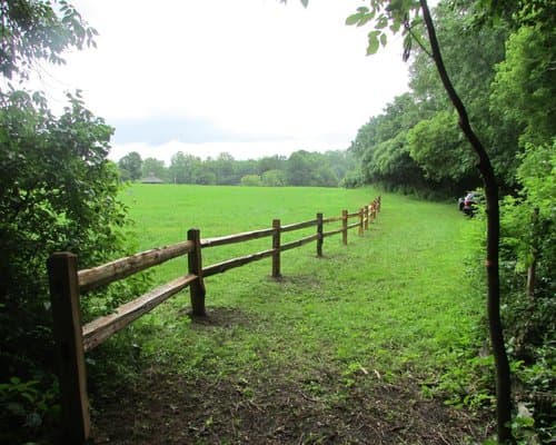
Field Section
The first 800 feet of the trail consists of a gently upward sloping mown path along the edge of a farm field. There is a cedar split-rail fence separating the active ag areas from the trail. The elevation gain in this section is approximately 50 feet.
Forest Viewpoint
The trail enters the woods, coming to a T intersection. It continues straight (north) about 600 feet along a wide, level spur trail to reach an out-and-back viewpoint looking east, with views of the Green Mountains. Elevation gain is approximately 25 feet, and the trail surface is packed dirt without any significant roots or rocks.
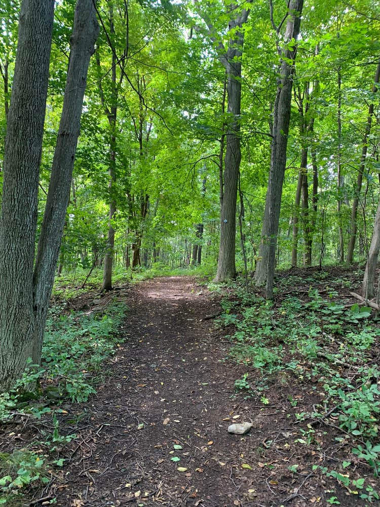
Connector
The trail to the left (west) at the T intersection becomes narrower, leading uphill, with occasional roots and rocks along the way. There is one moderately steep hill right after the T intersection. After about 400 feet, the connector reaches the loop trail at a Y intersection. The elevation gain is 56 feet, and the surface is packed dirt, with a small corduroy boardwalk section.
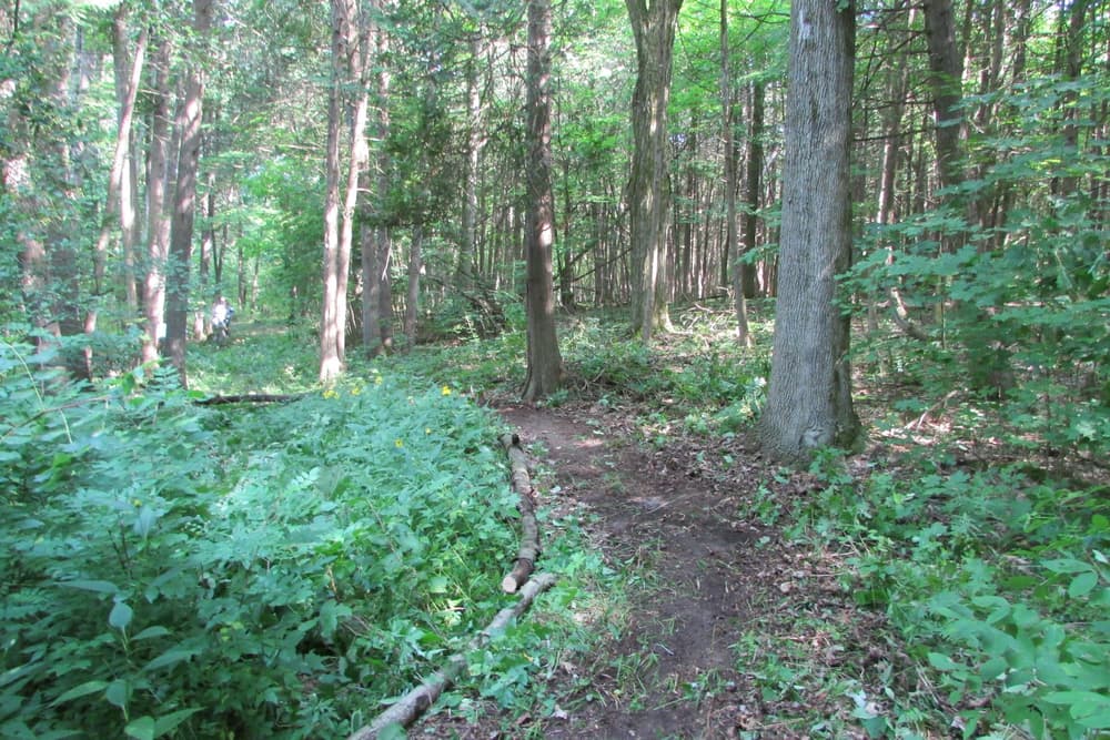
Loop Trail
A left or right at the Y intersection leads around the main trail loop. This section is about 0.6 miles long, ending back at the Y. The elevation is 57 feet, and the trail surface is packed dirt as well as two sections with a combined 200 feet of travel across puncheon and corduroy boardwalks. There are roots and rocks along the way.
About halfway along the main loop, there is a sign for a “short loop” option. This cutoff loop shortens the overall distance of the loop by about 0.2 miles. The elevation of the short loop is roughly the same as the longer loop option. There are roots and rocks along the way.
If you have any questions about accessibility or trail conditions, please email us. If you have any feedback about your trail experience, please let us know!
Hours: Dawn to dusk
Dog-Friendly: Dogs are welcome but must be leashed at all times.
Bathrooms: There are no bathrooms on site. The nearest bathrooms are at the Jolly Gas Station on US-2 in South Hero Village.
For additional information, visit the South Hero Land Trust website, or contact:


From US-2 Northbound, pass through the village center of South Hero and take a left on Tracy Road. Go 0.25 miles, take a right at the triangle to stay on Tracy Road, then the go another 500 feet to the parking lot on the left.
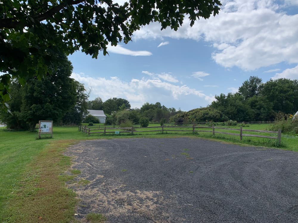
There is a flat gravel parking lot with space for about 6-8 cars. The entrance to the trail is marked with a kiosk and map box, located at the southeast corner of the parking lot.
Success! A new password has been emailed to you.