Mud season is here!Protect the trails we all love by sticking to open, dry areas. Learn more! 

The Roost

Short hike through verdant woods to cliffs with spectacular views south across the Magalloway River valley and into Grafton Notch.
Trail Activity
Hiking
Length
1.10 miles, Round Trip
Difficulty
Moderate
Town
Wentworths Location (NH)
Surface
Packed Earth/Dirt
Pets
Not Permitted
Fees
No

Description

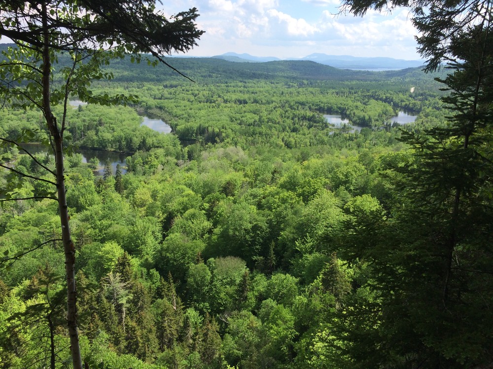
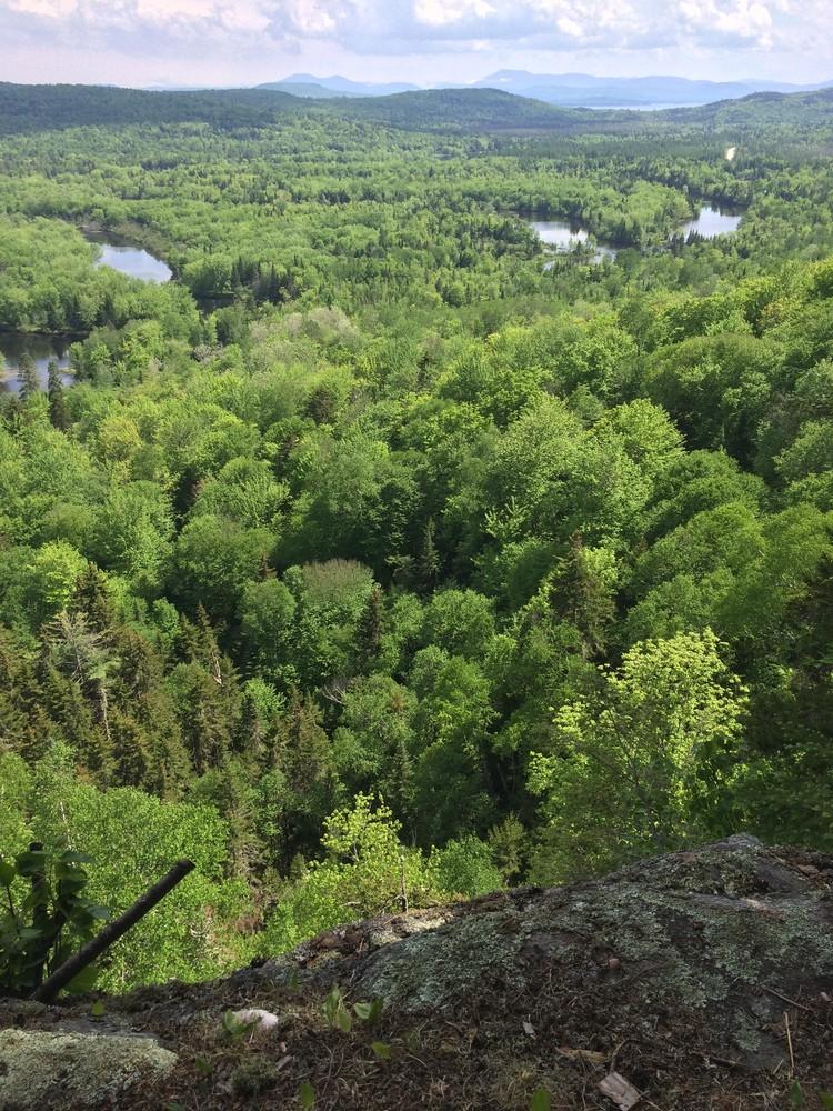
The Roost is a small cliff with commanding views of the Magalloway River Valley. The short trail to the top is perfect for an afternoon excursion and, though quite steep at times, is short enough for families with young children to complete. The trail begins at a small sign on the roadside immediately below the cliffs. After crossing a small footbridge and passing behind a private residence, the trail enters rolling woodlands and begins to climb gradually. A quarter-mile in, the trail becomes much more steep as it climbs the broad shoulder of The Roost. After another 0.25 miles, the trail crests the summit of The Roost. The trail leads a short way across the level summit to a break in the trees at the clifftop, rewarding hikers with spectacular views 20 miles south to the peaks of Grafton Notch and immediately down onto the winding path of the braided Magalloway River.

Other Information

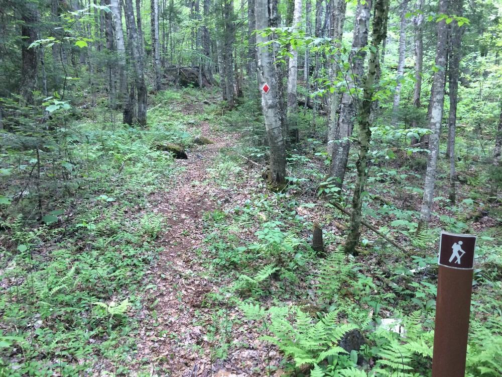
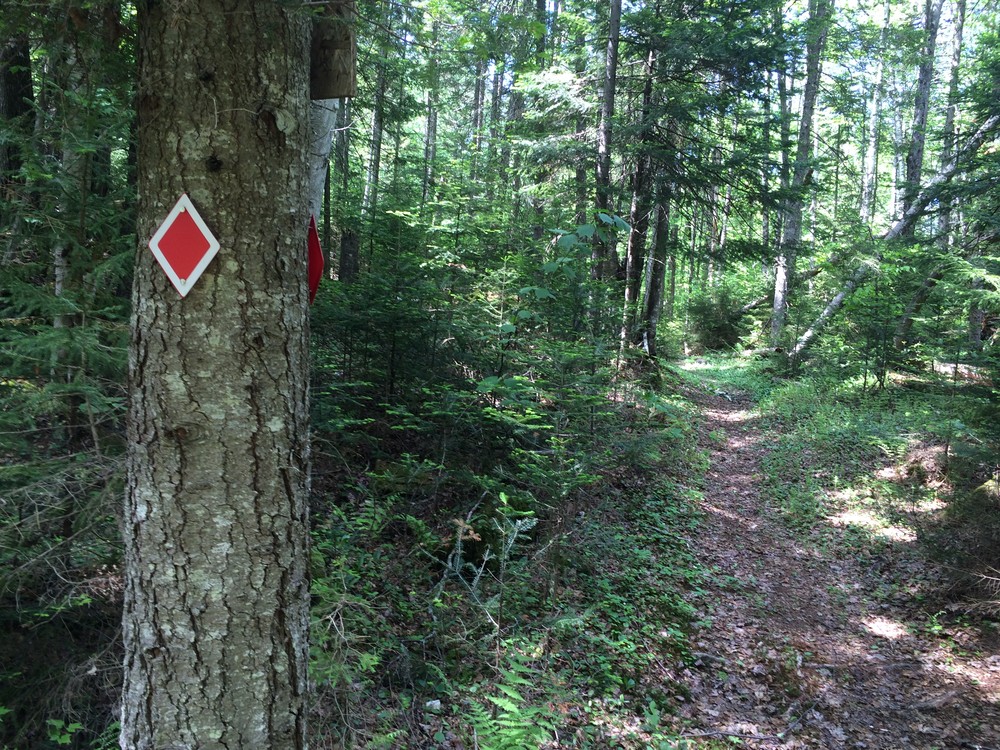
This trail crosses private property. Please park in the designated parking area across the road and be respectful of both local residents and landowners. The trail is marked at regular intervals with red diamond blazes.

Trail Manager

For more information, contact Umbagog National Wildlife Refuge:

US Fish & Wildlife Service - Umbagog NWR

US Fish & Wildlife Service - Umbagog NWR
PO Box 240
2756 Dam Road
Errol, NH 03579
Phone: (603) 482-3415
lakeumbagog@fws.gov
View website

Trail Tips

Be Considerate of Other Visitors
Consider volunteering with a trails organization to give back to the trails that give you so much!
Legend
Hide All

Trailhead Information

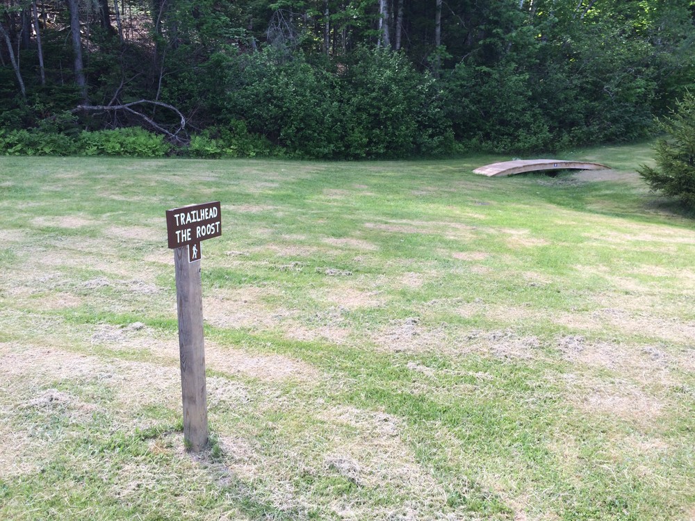
From the junction of NH-26 and NH-16: Travel north of NH-16 for 8.3 miles. A large parking area and boat launch are located on the right side of the road. Park here and walk across the road and a few hundred feet south on NH-16 to the small wooden trailhead sign set back on a private lawn. The trail leaves from this point, crosses a wooden footbridge and passes behind a private residence before entering the woods and beginning to climb. 

Click on a parking icon to get custom directions
Please Log In or Create Account to add comments.
These awesome businesses support our goal of connecting people to outdoor adventures!
Hang Tight!
Nearby services are loading
No Results
No Services Found

Trail Alerts

Trails
Private Property
This trail passes through private property. Please respect the landowner and protect future access by staying on the marked trail and following all rules.
SHARE THIS TRAIL

Add Trail Log

Please wait…
Join In on the Fun!
Log in or create an account below to unlock all the great features of Trail Finder: keep track of trails you want to do, preserve memories of trails you’ve done, earn badges, and more!
Your log in attempt was not successful. Please try again.
    Lost your password? Reset your password
    Don't yet have an account?
    There was an issue with your submission. Please try again.
      * Indicates required field
      Already have an account? Login here
      Enter your username, and we will send you a new, randomly generated password to your email account.
      There was an issue with your submission. Please try again.

        Success! A new password has been emailed to you.

        Log in now

        Please wait…