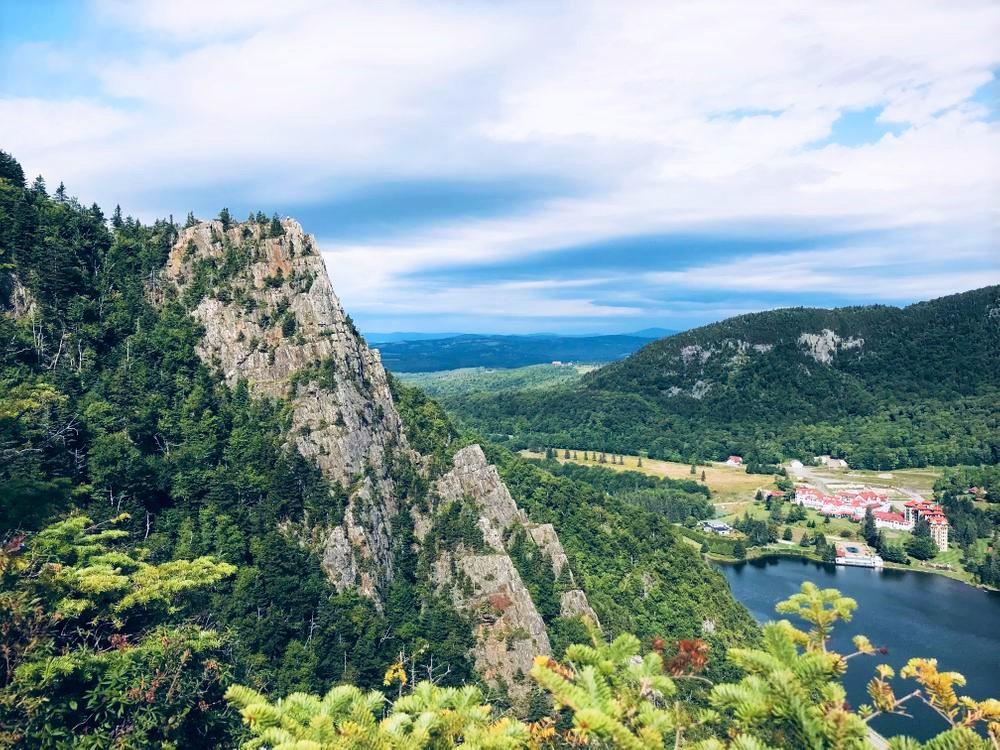
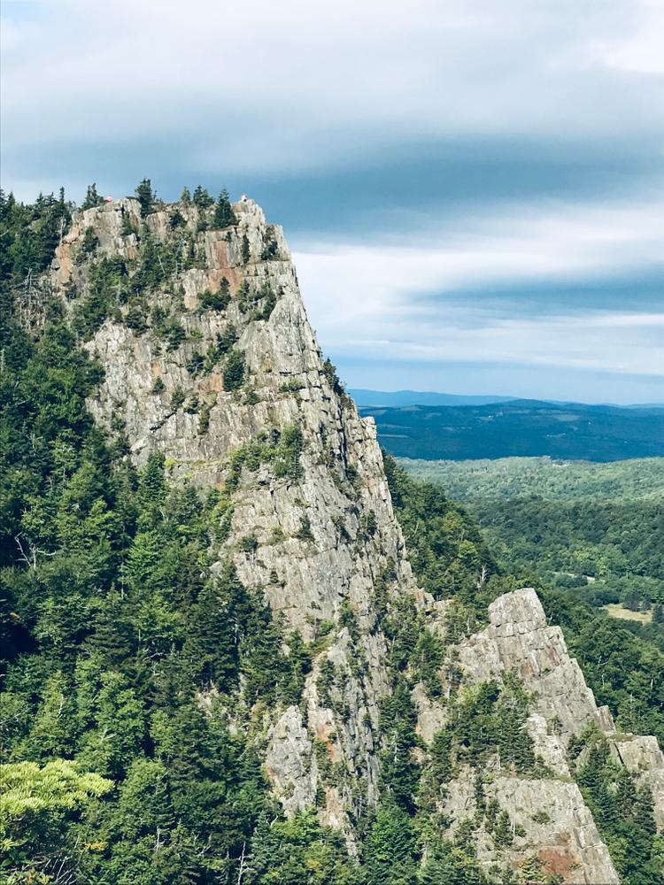
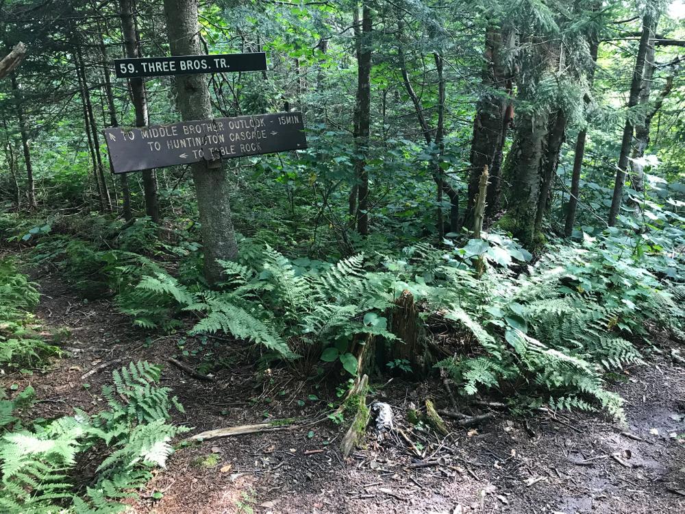
Huntington Cascade & Three Brothers Trail (#59)
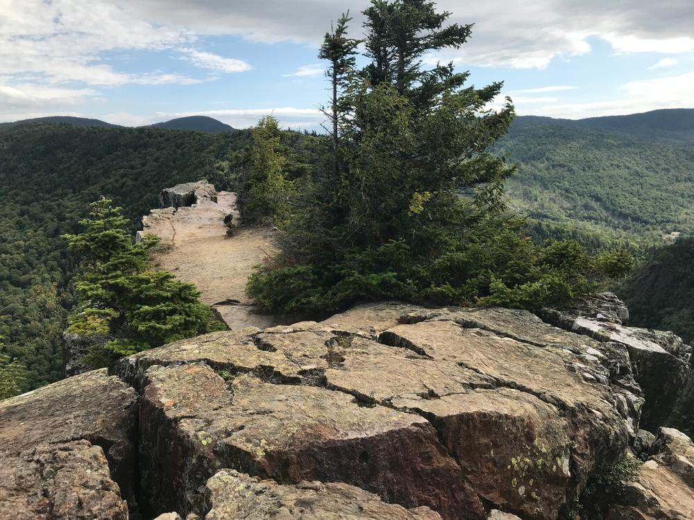
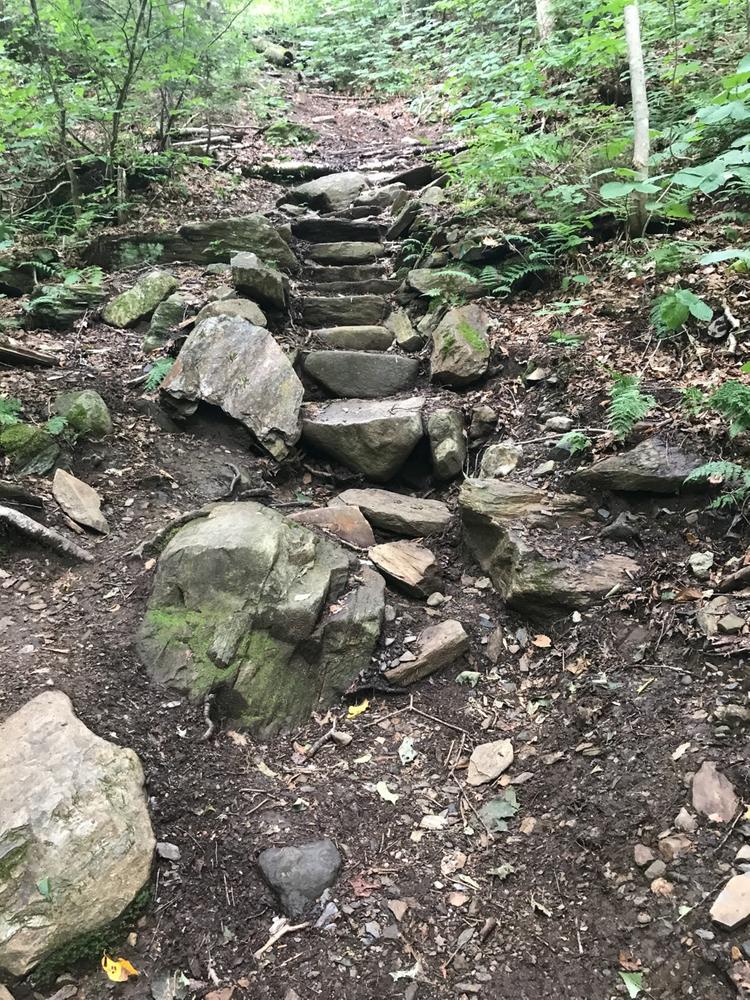
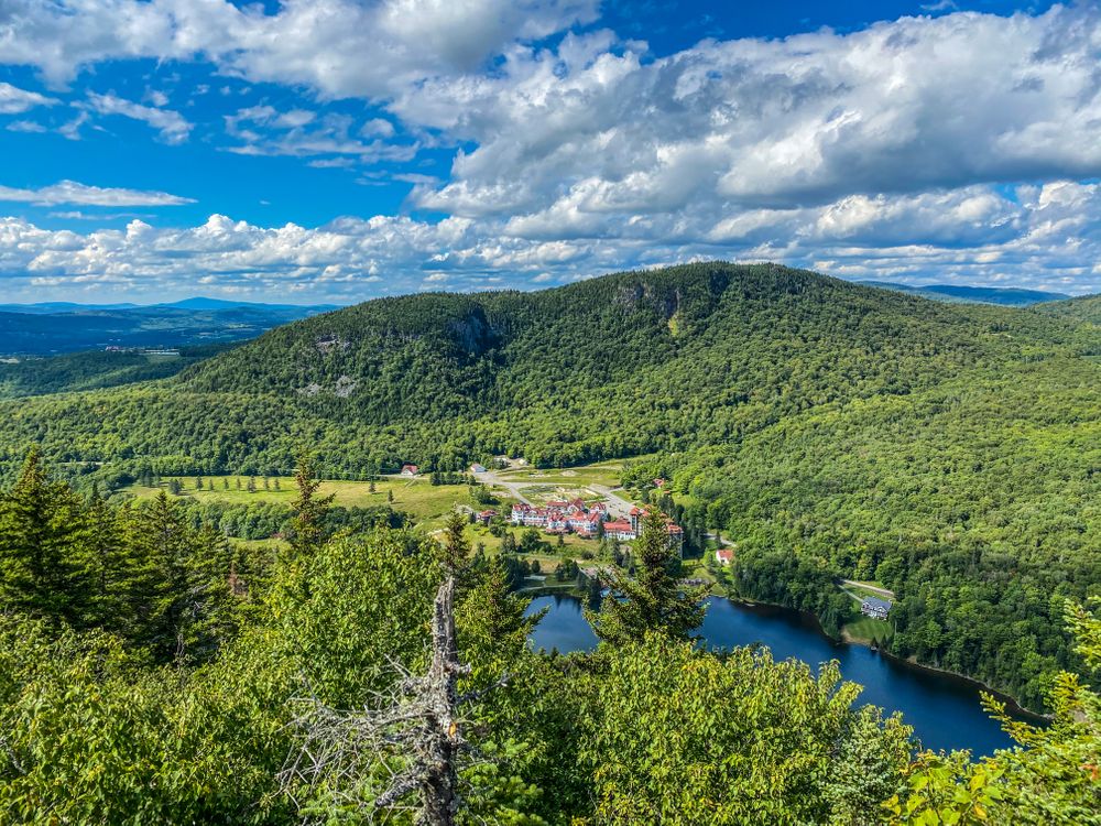
From the trailhead it is only 0.2 miles to Huntington Cascades, two horsetails falls of 18 and 50 feet high. From the falls the Three Brothers Trail continues 1 mile to a trail junction with a spur trail on the right that leads to a scenic view point, and another 0.1 miles beyond that to Table Rock itself, just beyond the next trail junction, to the right.
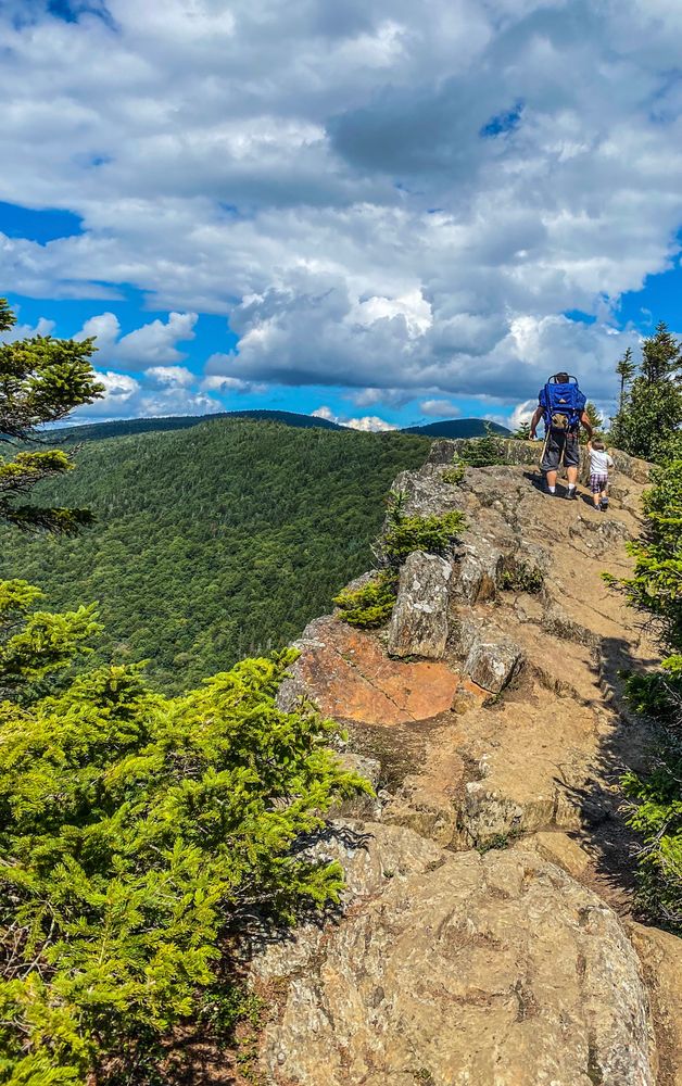
Table Rock Climbing Trail
The shortest route to Table Rock, this trail is only 0.2 miles in length. Precipitously steep, it is a fun climb but not recommended for descent or when the rocks are wet.
Table Rock Trail (#50)
This trail offers a more moderate hike up to Table Rock, 0.7 miles from the trailhead on NH-26.
This hike is part of the Cohos Trail.
For more information, visit the New Hampshire State Parks website for Dixville Notch State Park, the Cohos Trail Association website or contact:

![]()
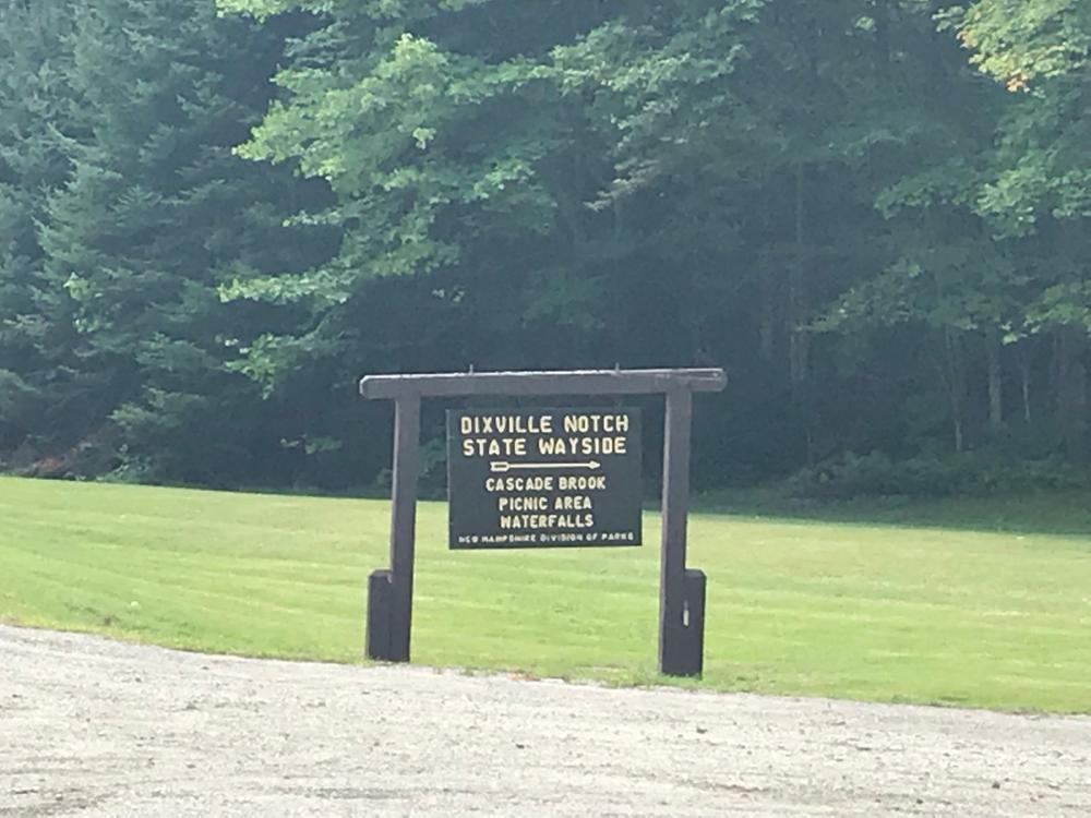
From the east, the trailhead to Huntington Cascade and Three Brothers Trail is located at a parking lot in Dixville Notch State Park 9.7 miles along NH-26 from NH-16 in Errol. From the west, it is 11.8 miles along NH-16 from US-3 in Colebrook. Look for the State Park Cascade Brook Picnic Area Sign.
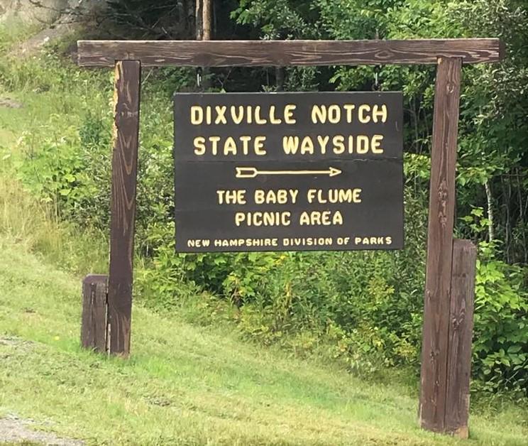
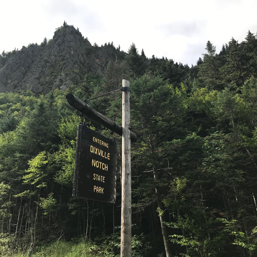
To access the steep Table Rock Climbing Trail, go 0.9 miles further west on NH-26 (or 0.9 miles less if heading east). The parking for this trail is at the pull-off with the "Entering Dixville Notch State Park" sign.
The Table Rock Trail is accessed from a pull-off from NH-26 - 11.5 miles west of Errol and 10.1 miles east of Colebrook, NH.
Success! A new password has been emailed to you.