SWEET POND TRAIL
1.5 mile loop (including town road), Easy.
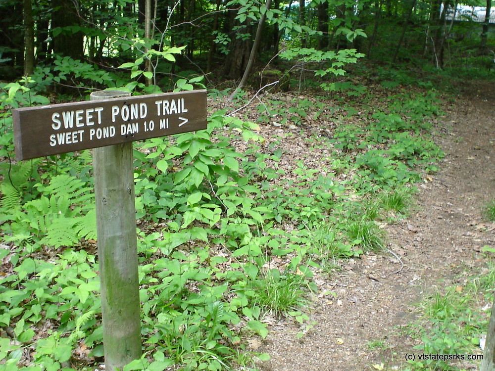
The Sweet Pond Trail begins at the parking area off of Sweet Pond Road. Starting by the kiosk, the trail cuts down the hillside and swings to north following an old road, and continues along the western shore of the pond. At the northern end of the pond, the trail crosses through a brushy wetland on a series of elevated timber boardwalks. The trail continues to the southeast, along the eastern side of the pond through mature hemlocks and oaks. There is vista overlooking the pond near the southern end. At just over one mile, the trail crosses over a bridge and then connects to Sweet Pond Road. Turn right (west) to follow the road back to the park entrance and parking area.
SWEET POND STATE PARK
Sweet Pond State Park was established in 1976 when the State of Vermont purchased a 100-acre tract of land with funds from the federal Land and Water Conservation Fund. The park is named after Dr. Charles and Susan Sweet, who maintained a summer home on the property for much of the 20th century. The park includes all of the shoreline of 20-acre Sweet Pond. The pond is an artificial impoundment on Keats Brook; a dam was first established here in the mid 19th century to power a mill. The land was originally settled by the Franklin family, who farmed the land for more than 150 years beginning in 1777. The Franklin Cemetery lies within the park.
The park is undeveloped, except for the Sweet family homestead, a public parking area and a foot trail. The 1.0 mile Sweet Pond Trail circumnavigates the pond. The park is managed for dispersed recreation, wildlife habitat and timber production. The park is open for day activities; camping or overnight use is not permitted. Hiking and paddling are the most common activities here.
Visit Vermont State Parks online for more information and a printable map or contact:
![]()
A small gravel surfaced parking lot is available at the trail head.
From Brattleboro, head south on US-5, and turn right onto the Guilford Center Road.
Turn left (1.7 miles from US-5) onto Weatherhead Hollow Road. Continue past the Guilford fairgrounds and Weatherhead Hollow Pond and turn right onto Baker Cross Road (5.6 mi.). Turn right again onto Sweet Pond Road (6.1 mi.). The road is rather narrow, so use caution and drive slowly. Pass the dam and outlet (7.4 mi.) and take a sharp right at the park entrance (there’s a sign; 7.7 mi.). Immediately turn left and go down a short, narrow lane to the parking area and information kiosk. The parking area is not plowed in the winter.
It is mud season in Vermont. Even if a trail is marked as open, pay attention to trail conditions. If you encounter mud or ice, turn around. Come back once the trail has had time to dry out.
Success! A new password has been emailed to you.