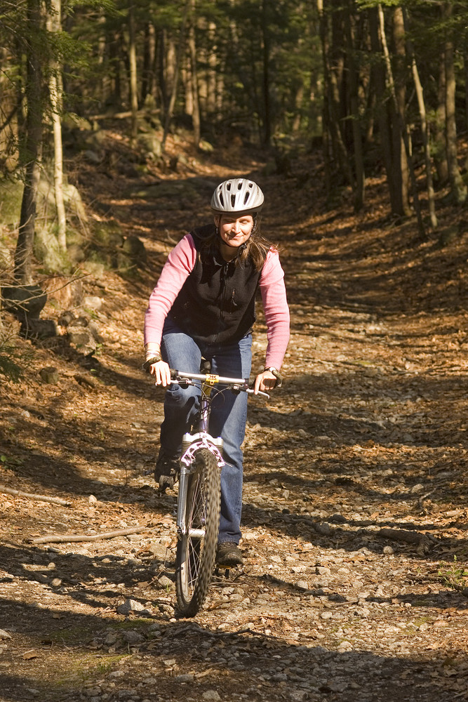
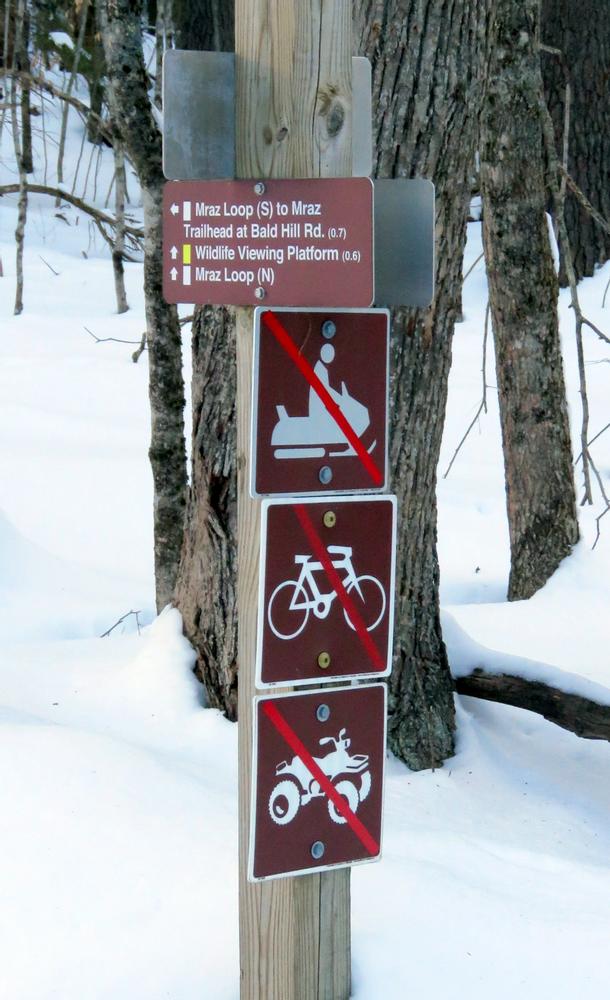
Byrne Trail: This gently rolling, mile-long trail runs from the northern to the southern edge of the property. It is open to mountain biking, snowmobiling, and horseback riding.
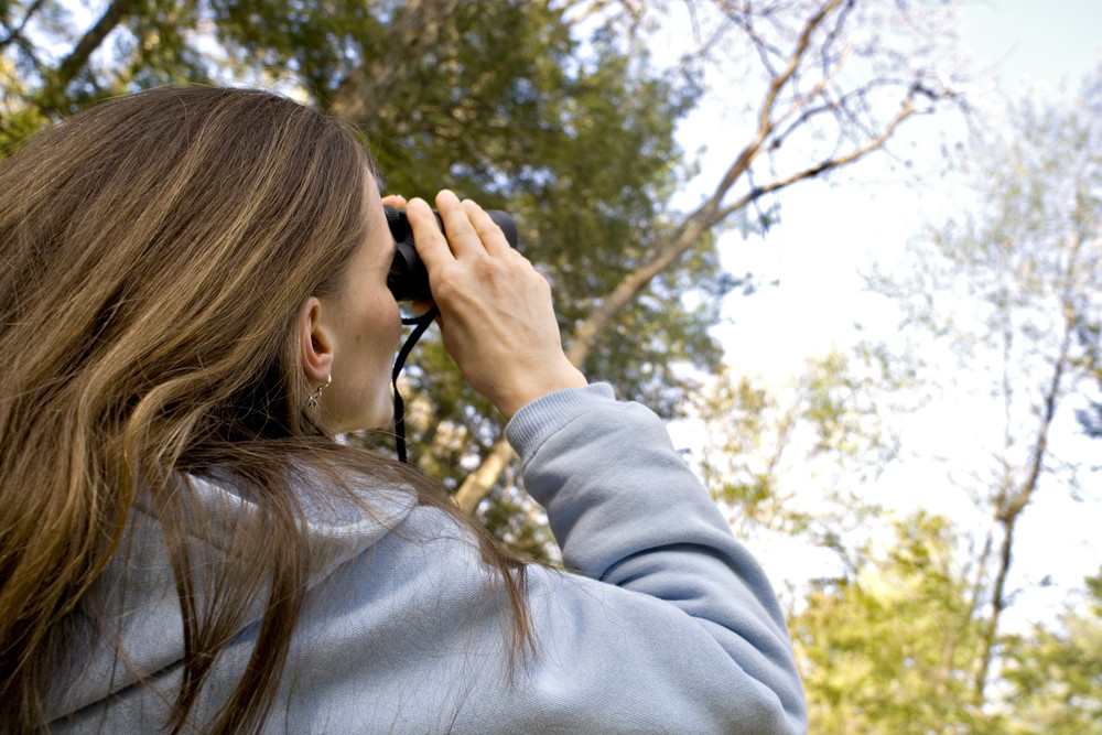
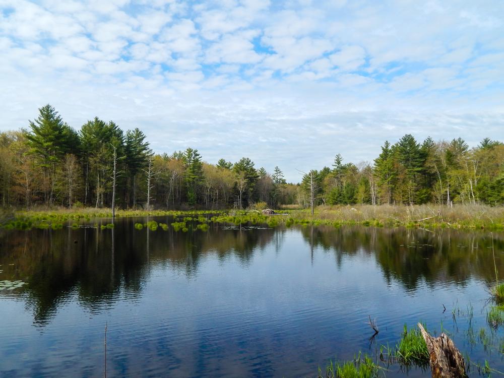
Byrne Spur: Accessible from Halls Mill Road, this 0.4-mile trail runs into Byrne Trail and loops around to Otis Hill Trail making a 1.6-mile loop around the Greenway. A viewing platform at the end of the easterly spur of the trail offers visitors a chance to sneak a glance at turtles, birds, and other wildlife in the beaver pond.
Mraz Trail: This trail begins on Bald Hill Road and offers an easy 1.7-mile round trip loop through fields and forests. Both the north and south loop connect to the Byrne Trail.
Otis Hill Trail: This trail is 0.6 miles in length and connects to the unmaintained, dirt portion of the Halls Mill Road. This trail is open to mountain biking.
The Piscassic Greenway links two blocks of protected land in Newmarket and Exeter to create more than 4,000 acres for public use. In 2005, much of this land was slated as a 102-unit subdivision. SELT, the Trust for Public Land, and the Town of Newfields intervened and raised funds to conserve the land as open space for the community. The Greenway has since grown with the acquisition of the 69-acre Cole Farm and 59-acre Tucker Tract.
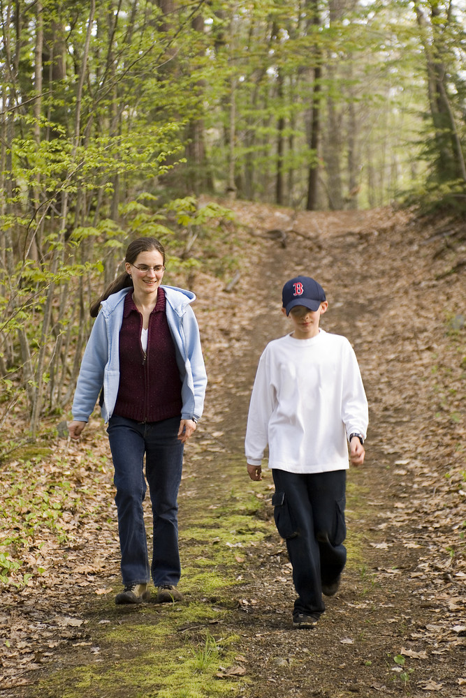
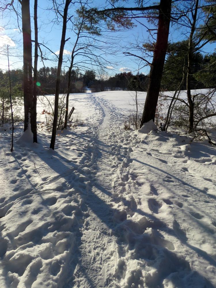
There are approximately 3.5 miles of trails on the property that are available for hiking, hunting, ungroomed cross-country skiing, and bird watching. Mountain biking, snowmobiling, and horseback riding are also allowed, but only on designated trails. Trails are blazed and range from easy to moderate difficulty.
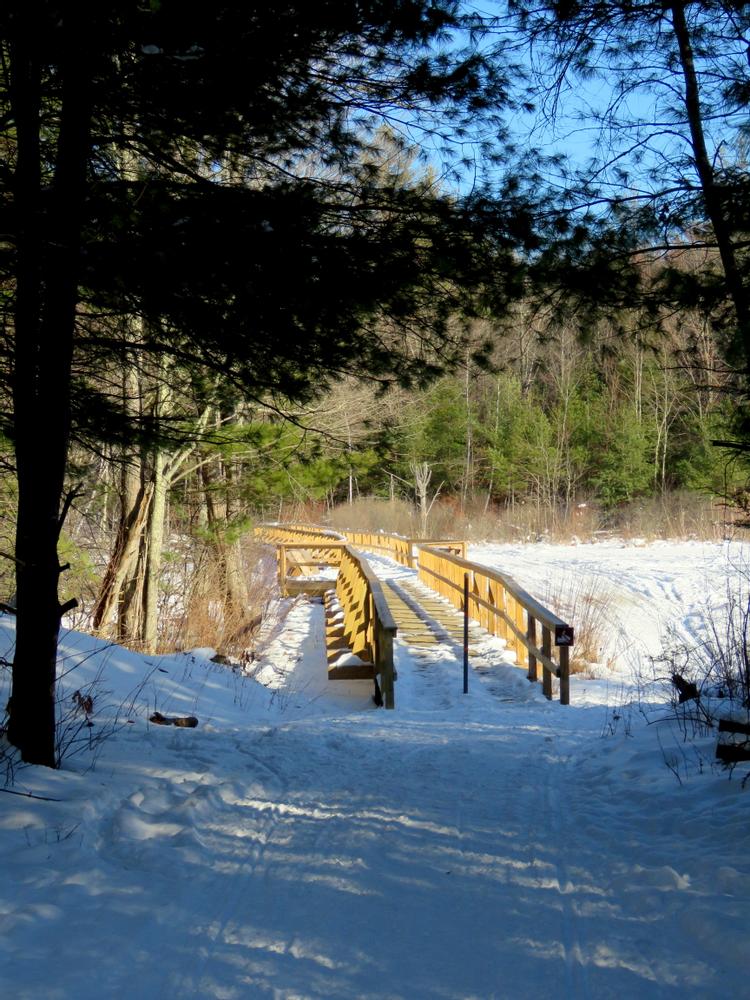
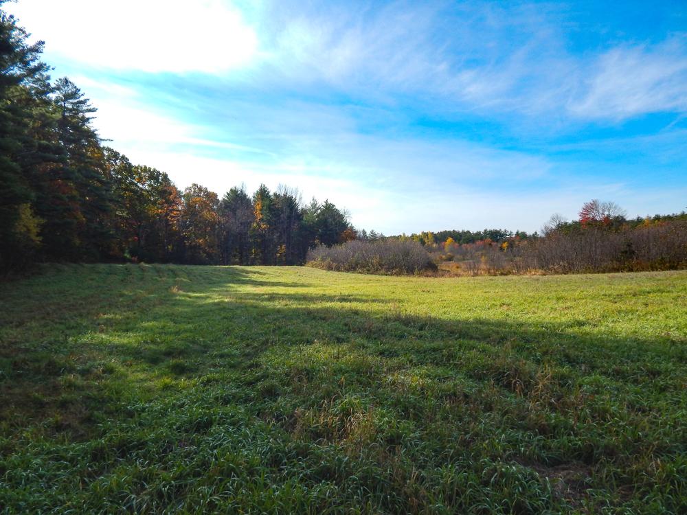
The land offers open fields, ponds, wetlands, mature forests, productive soils for farming, and shoreline on the Piscassic River.
The Southeast Land Trust of New Hampshire is a membership-based, non-profit whose mission is to protect and sustain the significant lands in our communities for clean water, outdoor recreation, fresh food, wildlife, and healthy forests. SELT works in the 52 communities of southeastern New Hampshire to voluntarily conserve special places for the public benefit through conservation easements and ownerships. Once land is conserved, SELT ensures the conservation goals are met through our landowner easement stewardship program and through sustainable management of SELT-owned lands. Join as a member or volunteer today!
Visit SELT online for more information, or contact:

Visitors can park at the lot on Bald Hill Road in Newfields or in a small parking area at the end of Halls Mills Road. (Please do not block abutters’ driveways.) Visitors can also access the Greenway via a short spur trail off the Rockingham Recreational Trail that connects to the Byrne Trail.
Success! A new password has been emailed to you.