Mud season is here!Protect the trails we all love by sticking to open, dry areas. Learn more! 

Mount Potash

A moderate mountain climb with summit views of the surrounding 4000 Foot peaks in the heart of the White Mountain National Forest
Trail Activity
Hiking Snowshoeing
Length
4.10 miles, Round Trip
Towns
Albany (NH), Waterville Valley (NH)
Surface
Packed Earth/Dirt
Pets
Permitted
Fees
No

Description

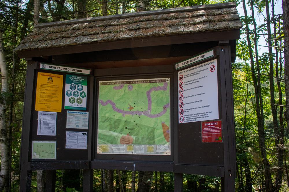
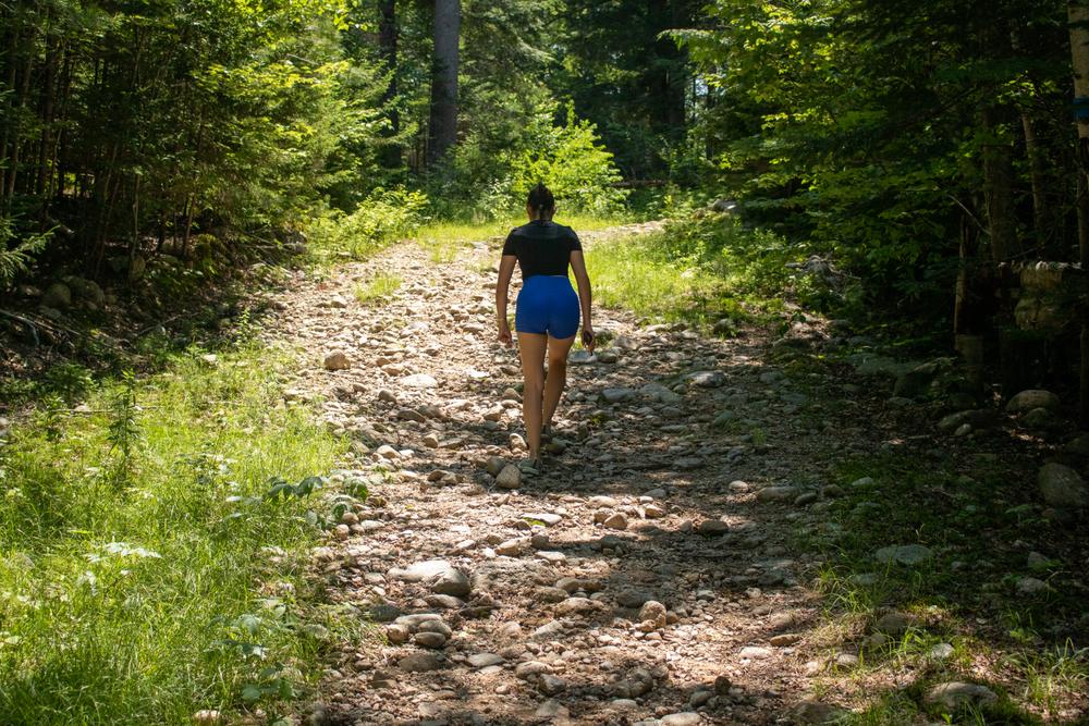
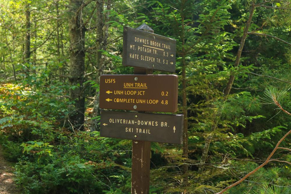
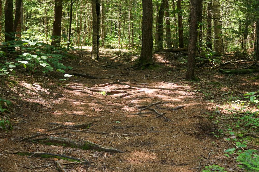
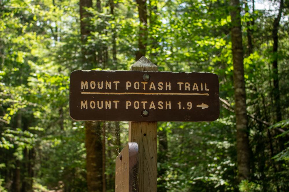
The Downes Brook Trailhead serves as the primary access point for Potash Mountain, Hedgehog Mountain and the Downes Brook Trail. From the parking lot, follow the Downes Brook Trail for 0.2 miles to the junction with the Potash Mountain Trail. The Potash Mountain Trail splits to the right and continues gradually uphill for 0.7 miles. The trail then turns and climbs steeply towards the ridge, gaining 1000 feet in the remaining mile to the summit (2,700') where views of the Swift River Valley and surrounding peaks await.

Other Information

Before you hike, know the hiker responsibility code and be prepared:

  • With knowledge and gear
  • To leave your plans
  • To stay together
  • To turn back
  • For emergencies
  • To share the hiker code with others.

 Visit the hikeSafe website to learn more!

Trail Manager

For more information, visit the White Mountain National Forest trail page, or contact:

White Mountain National Forest: Saco Ranger District

White Mountain National Forest: Saco Ranger District
33 Kancamagus Highway
Conway, NH 03818
Phone: (603) 447-5448 x 0
View website

Trail Tips

Plan Ahead and Prepare
Tell someone your plan and when you’ll return, just in case.
Legend
Hide All

Trailhead Information

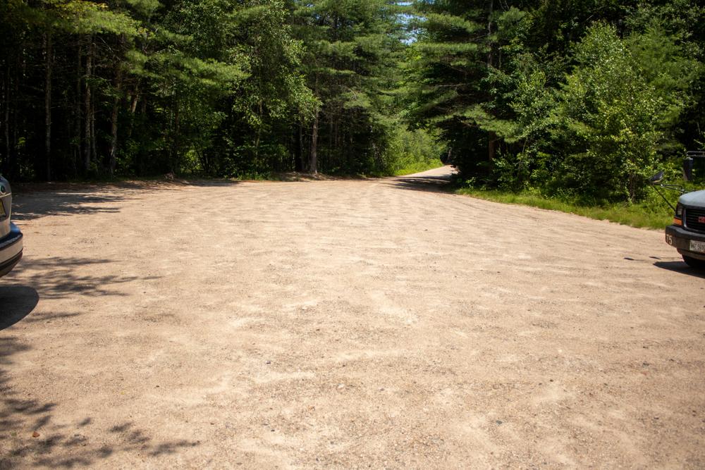
From Interstate 93: Take Exit 32 for Lincoln and head east on the Kancamagus Scenic Byway (NH-112). Follow NH-112 east for 21.3 miles, and turn right into the Downes Brook Trailhead just off the road and across from the Passaconaway Campground.

From Conway: Follow the Kancamagus Scenic Byway (NH-112) west for 14.2 miles, and turn left for the Downes Brook Trailhead, across from the Passaconaway Campground.

Click on a parking icon to get custom directions
Please Log In or Create Account to add comments.
These awesome businesses support our goal of connecting people to outdoor adventures!
Hang Tight!
Nearby services are loading
No Results
No Services Found
SHARE THIS TRAIL

Add Trail Log

Please wait…
Join In on the Fun!
Log in or create an account below to unlock all the great features of Trail Finder: keep track of trails you want to do, preserve memories of trails you’ve done, earn badges, and more!
Your log in attempt was not successful. Please try again.
    Lost your password? Reset your password
    Don't yet have an account?
    There was an issue with your submission. Please try again.
      * Indicates required field
      Already have an account? Login here
      Enter your username, and we will send you a new, randomly generated password to your email account.
      There was an issue with your submission. Please try again.

        Success! A new password has been emailed to you.

        Log in now

        Please wait…