The trail begins by climbing up rock steps. Shortly thereafter, two small dirt paths merge from the right, the trail to the summit continues along the path marked by blue blazes. A small stream flows down to the right of the trail. About a third of the way to the summit the trail crosses the Suicide Hill Snowmobile Trail. On the far side it crosses some wooden bog bridges, as well as another trail branching off on the right.
Along the trail are a number of interpretive signs and displays that describe both the natural resources and the Abenaki culture, and the role the Mountain (which is on the National Register of Historic Places) had for the Abenaki.
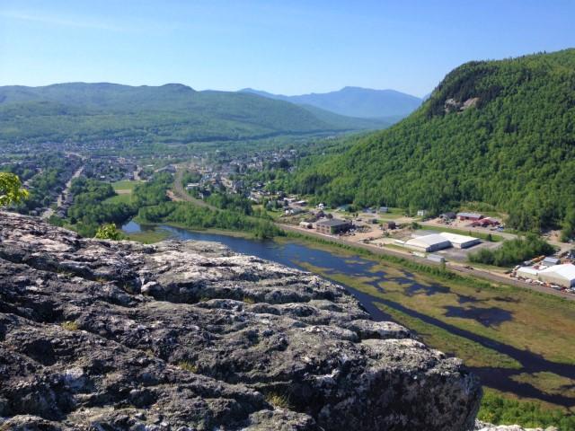
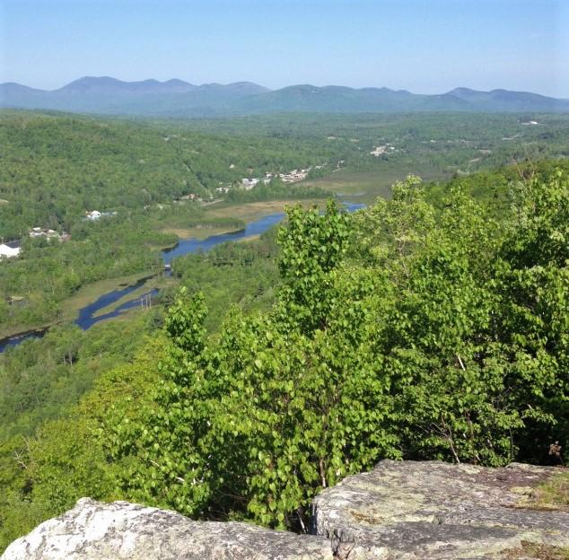
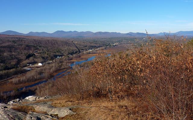
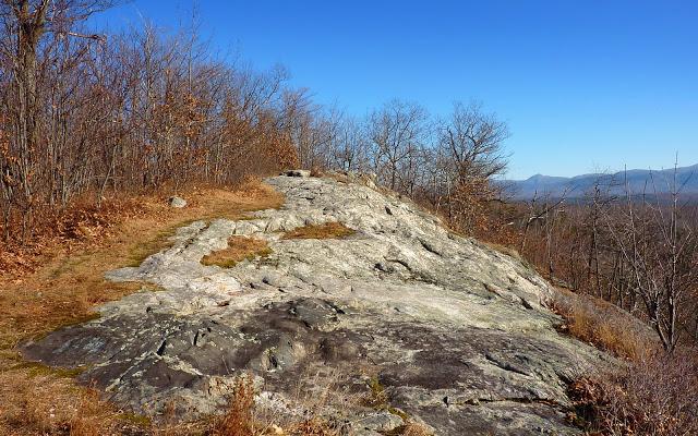
After one final short uphill climb, the trail emerges on the rocky summit of Mount Jasper. The City of Berlin and the Dead River can be seen to the south, with Mount Jericho with its wind turbines visible across the river. Continuing around the summit, there are nice views to the northwest, which includes more of the Dead River and the Kilkenny Mountain Range.
Be mindful that there are steep and dangerous cliffs at the summit.
Please stay on the marked trails and practice "carry in, carry out."
For more information, visit the City of Berlin website, or contact:
![]()
The trailhead is located behind the Berlin High School. To get there from the center of Berlin, from the corner of Main Street and High Street, head north on High Street for 0.4 miles, then take a left on Park Street. After about 500 feet take the first right onto Willard Street. The High School is at the end of Willard Street, 0.4 miles up from the turn. At the High School, drive back through the parking lots and park just above the track. From here an ATV trail is visible just to the right of the track fence. The trail begins just down this path on the far side of the kiosk. It is marked with a sign indicating the mileage and blue blazes.
Success! A new password has been emailed to you.