The solar eclipse is coming on April 8th! Learn more about where you can go to view the eclipse and other useful tips.

J. Maynard Miller Municipal Forest (Vernon Town Forest)

The highlight of this trail system is a rare black gum swamp with 400 year old black gum (or tupelo) trees, but you can also enjoy a scenic view and the opportunity to stand in two states at once.
Trail Activity
Walking Hiking
Length
3.30 miles, Network
Difficulty
Easy, Moderate
Town
Vernon (VT)
Surface
Packed Earth/Dirt
Pets
Permitted on leash
Fees
No

Description

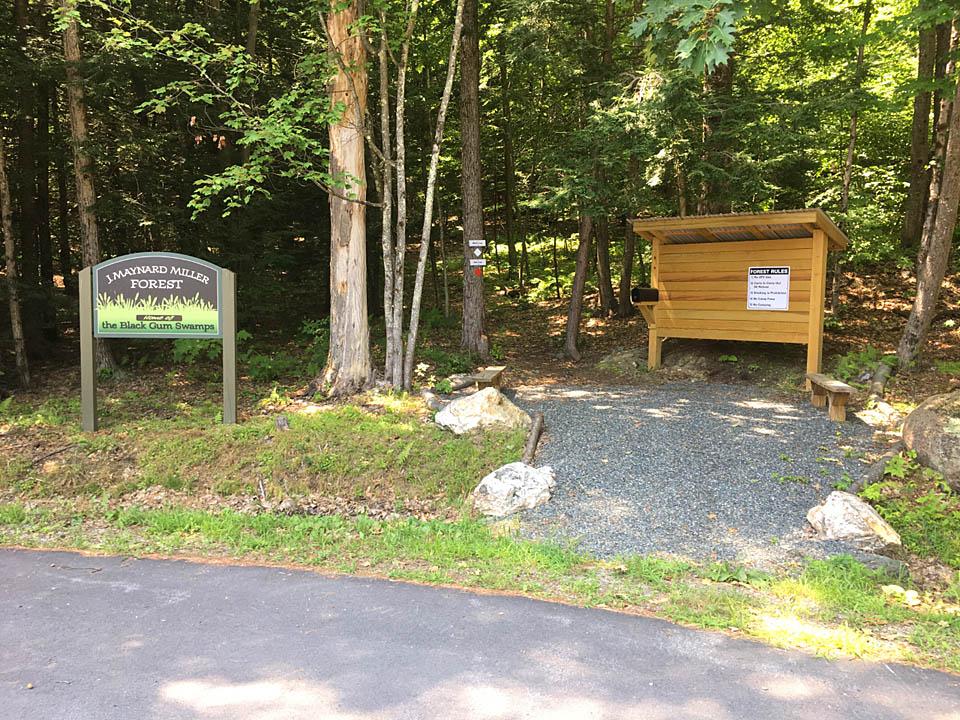
The trail network consists of 3.25 miles of trails. Two main loops (the Red and White Loops) comprise the backbone of the system with several other trails branching off. This makes the system fairly easy to navigate. A kiosk with a brochure and map is located at the trailhead. The brochure is also available from the Town of Vernon website.

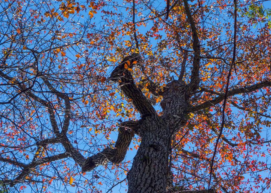
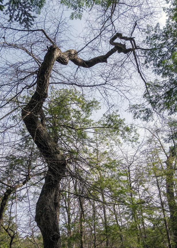
The Red Loop (0.75 mi.) encircles the black gum swamp, where 400 year old trees are found. It starts from the parking lot and climbs steeply for a short ways to a junction where the actual loop starts. 

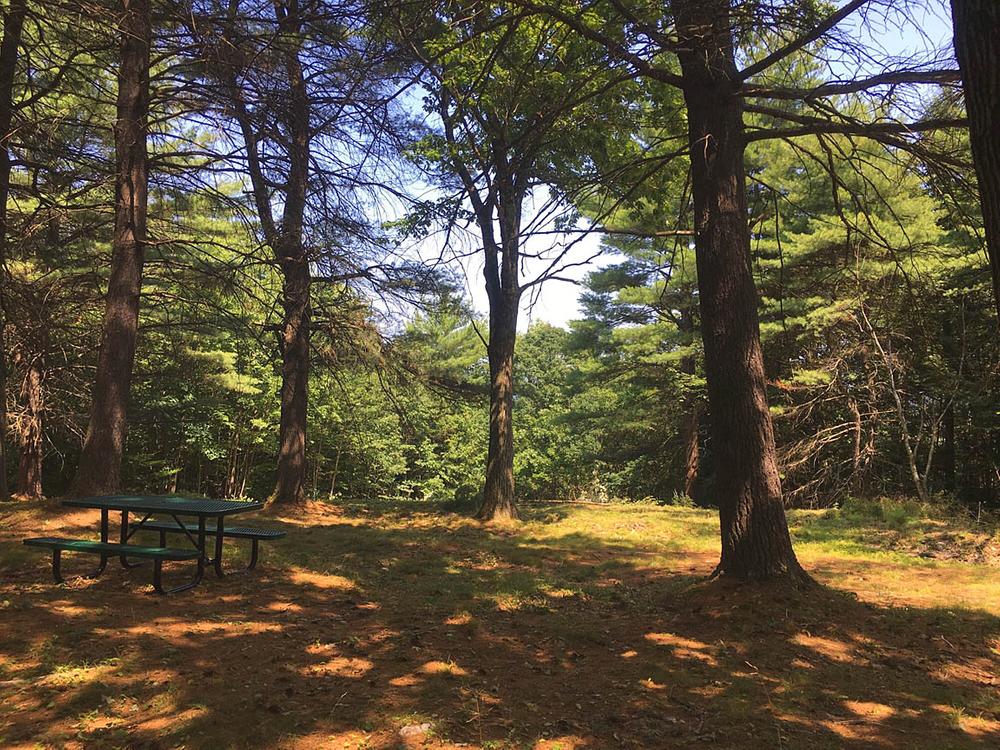
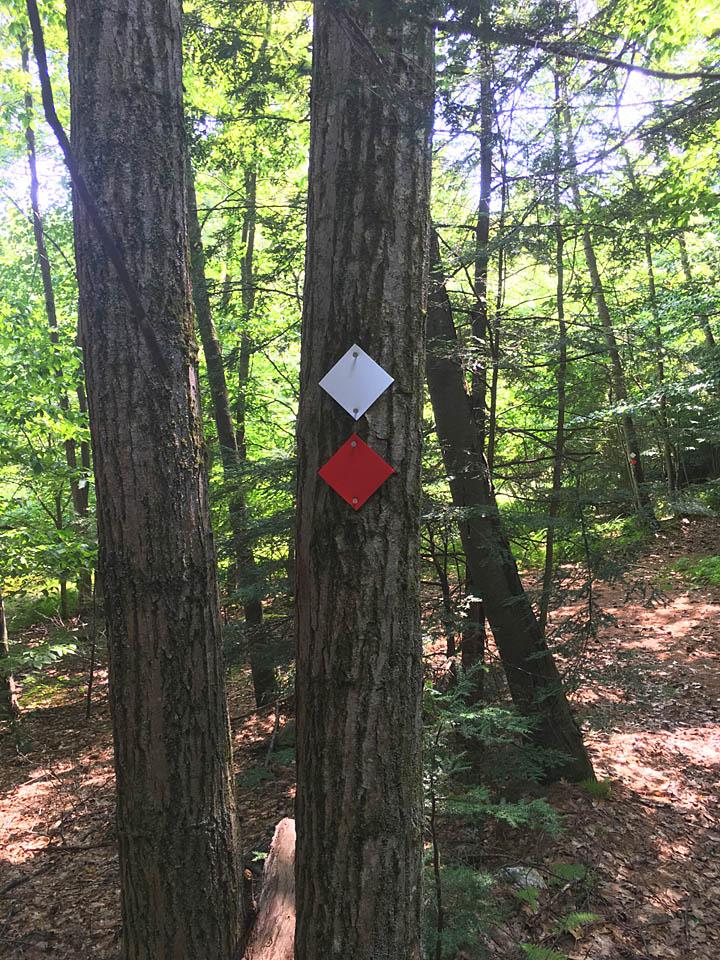
White Loop (1.6 mi.) also starts from the parking lot. Follow gated Town Forest Road to the right of the kiosk to walk the loop counter-clockwise. From the parking lot, it is a short 0.25-mile walk to the Eric Haskins Eagle Scout Lookout and Picnic Area. To walk the loop clockwise, follow the footpath by the kiosk. The White Loop and Red Loop coincide for 0.2 miles.

Millers Crossing (0.25 mi.) connects the White Loop at the Lookout and Picnic Area to the Red Loop, allowing visitors to take in both the viewpoint and the black gum swamp. Other trails include Delmarre Divide, High Point Trail, Footbridge Trail, and the State Line Loop.

Trail Manager

The trails and forest are managed by the Town of Vernon Recreation Department.

Town of Vernon Recreation Department
567 Governor Hunt Rd
Vernon, VT 05354
Phone: 802-254-9251
recreation@vernonvt.org
View website

Trail Tips

Travel on Durable Surfaces
If you have to step off the trail, step onto a rock or soil. Avoid stepping on fragile vegetation.
Legend
Hide All

Trailhead Information

The trailhead is located at a large parking area at 366 Basin Road in Vernon. From Brattleboro, head south on Route 142 to Vernon. Turn right onto Pond Road (1.5 miles past the railroad crossing), and in 1.2 miles, turn right onto Huckle Hill Road. In 1.4 miles, turn right onto Basin Road and drive to the parking area and kiosk on the right at the end of the road.

Click on a parking icon to get custom directions
Please Log In or Create Account to add comments.
These awesome businesses support our goal of connecting people to outdoor adventures!
Hang Tight!
Nearby services are loading
No Results
No Services Found
SHARE THIS TRAIL

Add Trail Log

Please wait…
Join In on the Fun!
Log in or create an account below to unlock all the great features of Trail Finder: keep track of trails you want to do, preserve memories of trails you’ve done, earn badges, and more!
Your log in attempt was not successful. Please try again.
    Lost your password? Reset your password
    Don't yet have an account?
    There was an issue with your submission. Please try again.
      * Indicates required field
      Already have an account? Login here
      Enter your username, and we will send you a new, randomly generated password to your email account.
      There was an issue with your submission. Please try again.

        Success! A new password has been emailed to you.

        Log in now

        Please wait…