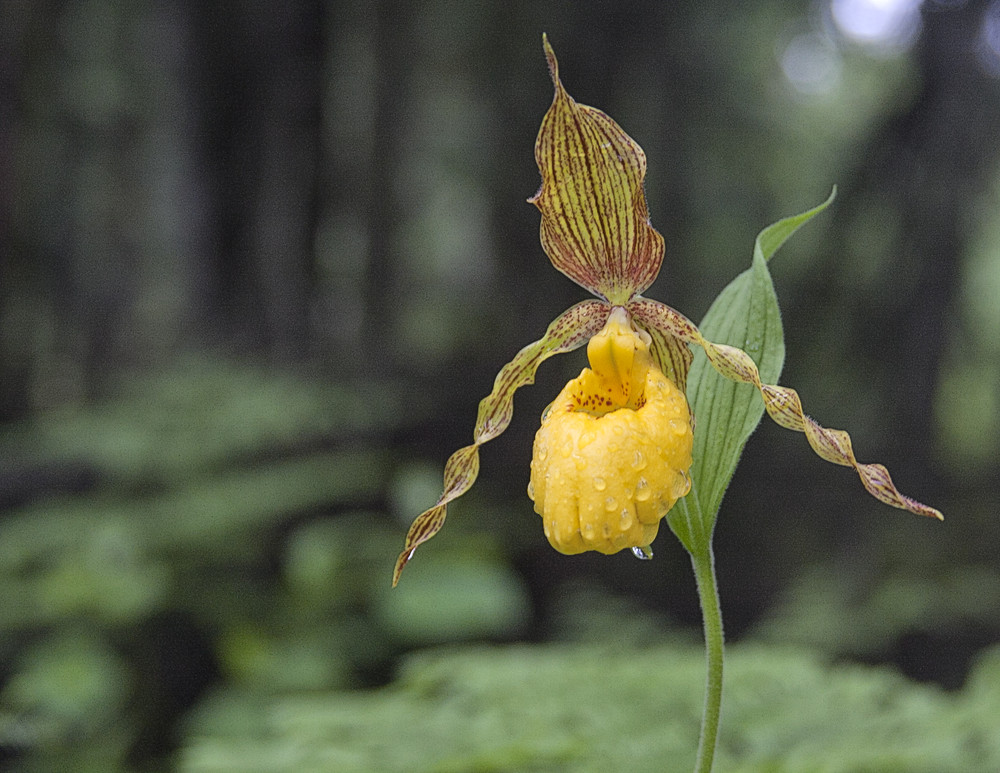
From The Nature Conservancy sign by the gate, walk in along the grassy road on the swamp’s western edge. The old road is nearly flat and quite easy to follow. Soon you arrive at a grassy, open area. The old road continues at the far end, by a mailbox post with a sign-in sheet. In about a quarter of a mile, a marked trail veers off to the left (east), into a narrow band of dense, young lowland spruce - fir forest community. Soon the ground becomes wetter and you step onto a boardwalk path. Be careful of your footing as the boards can often be very slippery, especially when wet. Peat depths here average about 3 ft. (1 m). An open-canopy shrub zone with alder, mountain holly, and some small, scattered trees occurs where the path crosses a small, quiet channel of open water. Just beyond this stream crossing, you make a dramatic entrance into the exemplary northern white cedar - balsam fir swamp , the dominant natural community type at Hurlbert Swamp, by passing right through the middle of a cluster of cedar trees on a mossy hummock. There is a the ground level observation deck at the end of the boardwalk.
A trail guide with more information is available from the NH Natural Heritage Bureau.
The Nature Conservancy asks that you follow these preserve use guidelines:
The Nature Conservancy is a global non-profit conservation organization. Our mission is to conserve the lands and waters on which all life depends.
The Nature Conservancy in New Hampshire has been safeguarding our state's most precious natural resources since 1961, conserving 290,000 acres of forests and files and 680 miles of river and estuary shoreline. Our preserves are open for hiking, fishing, skiing, hunting, and wildlife viewing. Learn more at: www.nature.org/newhampshire.
![]()
From the intersection of US3 and NH 145 in Colebrook, head north on NH 145 for 8.6 miles. Just beyond the Clarksville town line, turn left onto West Road (this also being the location of the old Clarksville School and 45th parallel). Travel on West Road for 1.6 miles, then turn left onto the unpaved Moose Mountain Road – look for a small wooden sign with an oak leaf and arrow at the intersection. Please be considerate of our neighbors, and drive slowly on Moose Mountain Road. Follow the road south for 1 mile, making sure to follow the TNC wooden directional signs at road junctions. At 1 mile there will be a fork in the road. Stay left onto Hill Top Drive and travel an addition 0.1 miles to the preserve sign. Park at the trailhead.
Note: The preserve may also be accessed by remaining north on Route US3 for 11 miles from the its intersection with Route 26 in the center of Colebrook. At this point, turn right onto West Road just before the Clarksville store. Continue along the West Road for 1.4 miles and turn right onto Moose Mountain Road. Once on Moose Mountain Road, follow directions as described above.
Success! A new password has been emailed to you.