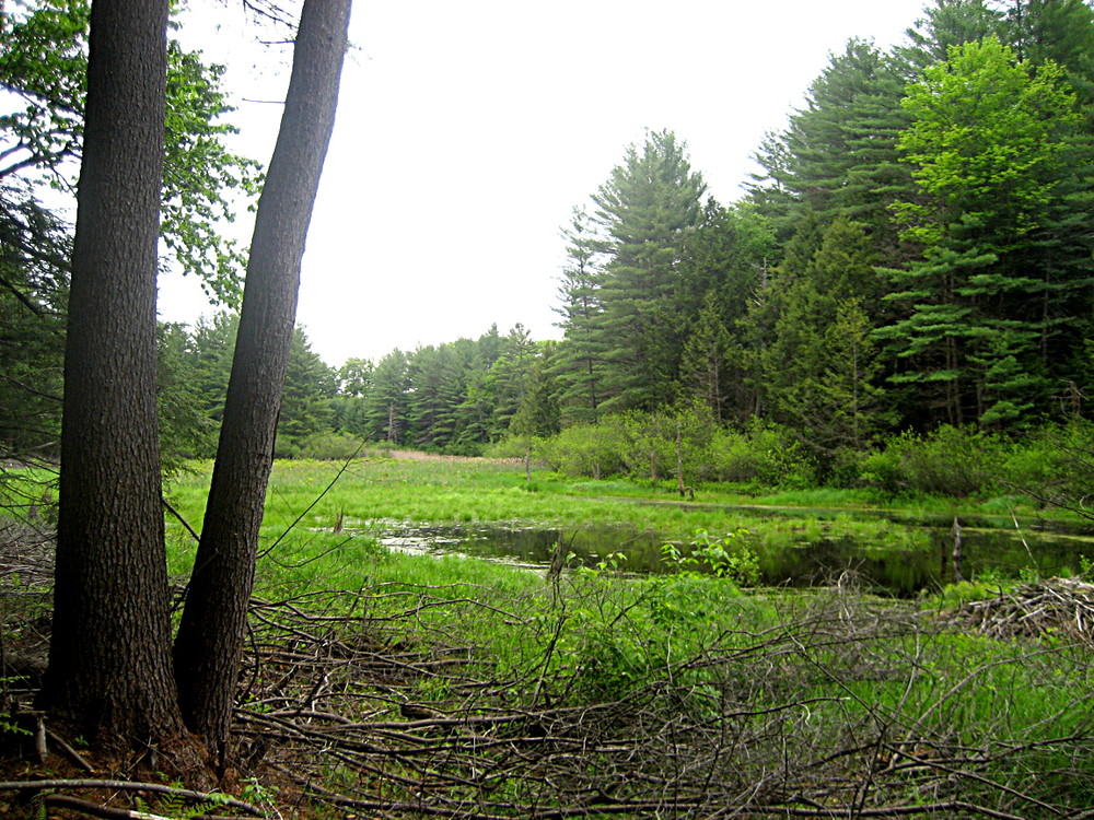
The Hillwinds Trails system consists of 3.7 miles of trails near the northern border of the Town of Brattleboro. The trails are popular with hikers, trail runners, and mountain bikers. The main 2.7-mile trail network is in a mature white pine forest.
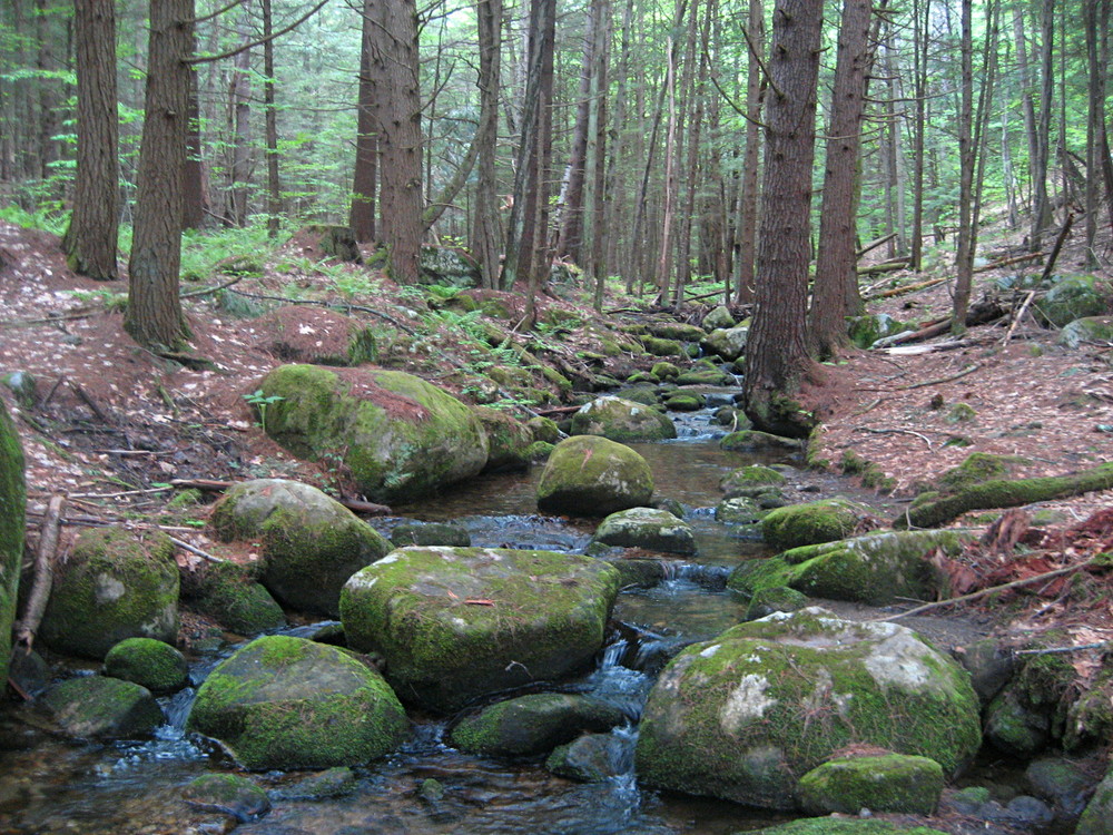
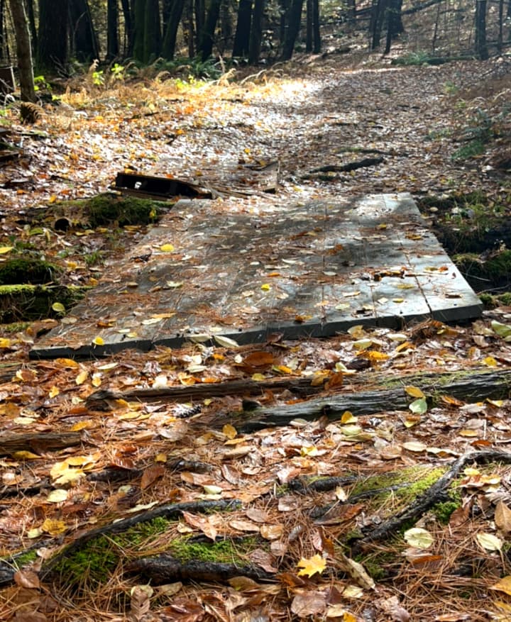
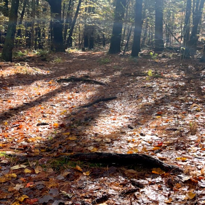
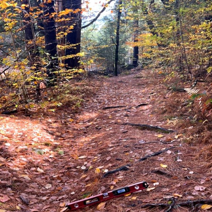
The Beaver Pond Trail is a relatively flat out and back trail. There are many large (>2” surface disruption) roots in the trail treadway. A person with a wheeled rollator or stroller may be able to navigate the trail if it can be lifted up and over large roots and medium sized downed trees. There are steep cross slopes in a few short sections along the trail but, generally the slopes and cross slopes are 3-5%
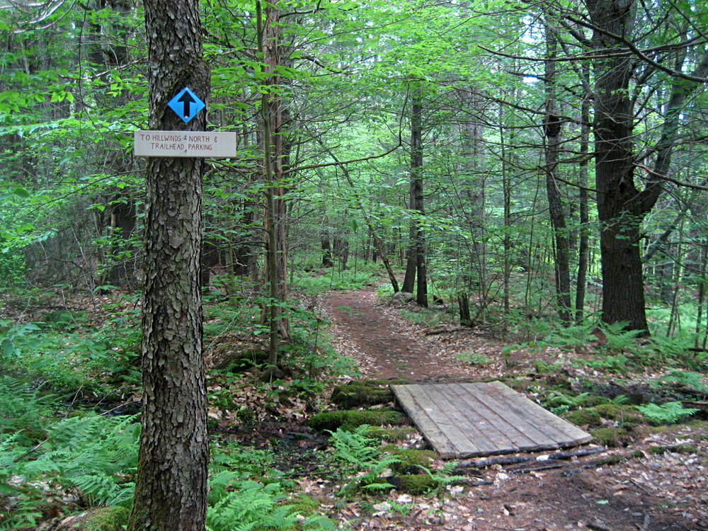
A loop here using the Upper Trail and Beaver Pond Trail is 1.8 miles; other loop options are possible with the Connector and Ridge Trails. Mountain bikers will find the moderate width singletrack trails to be of beginner or low intermediate technical difficulty.
A 1-mile side trail recently opened to the public extends uphill to Pleasant Valley Road (there is no parking or signage on Pleasant Valley Road). This trail is steeper and rougher than the main trails, and of intermediate difficulty for mountain biking.
The Hillwinds Trails are managed and maintained by the Hillwinds Conservation Lands, Inc., a nonprofit organization comprised of two-dozen homeowners and adjacent landowners. These trails have been made available to the public through the generosity of this organization and a neighboring private landowner, in cooperation with the Town of Brattleboro Conservation Commission.
Please visit the Town of Brattleboro online for a printable map and more information, or contact:
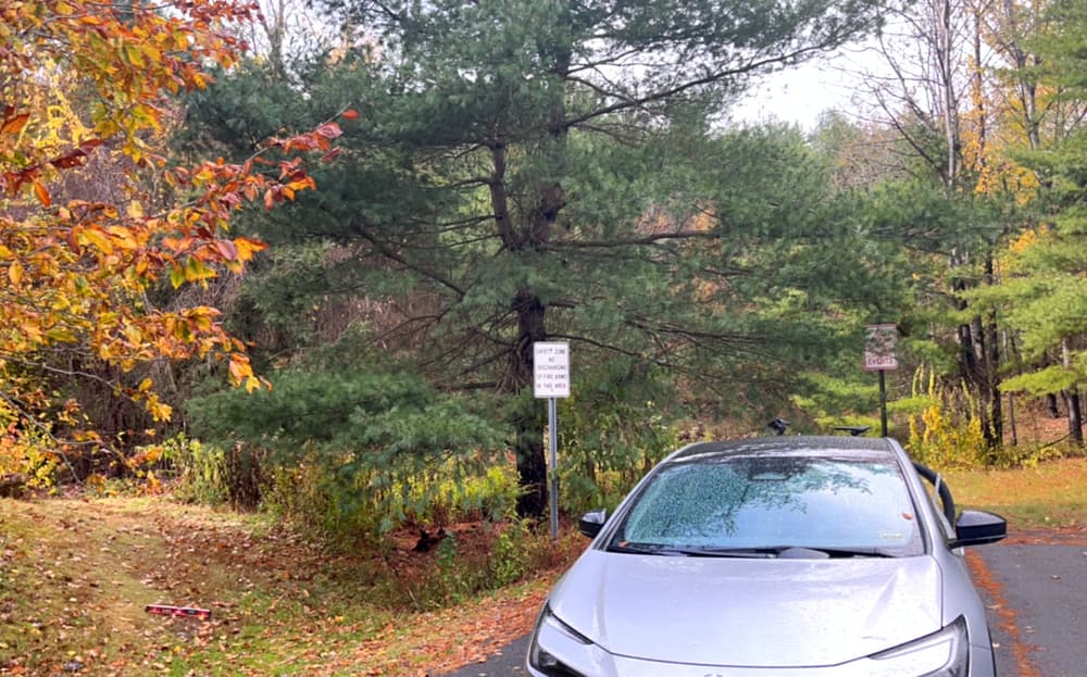
Follow VT-30 north out of Brattleboro and turn left onto Upper Dummerston Road (just beyond the Retreat Farm & Grafton Cheese). Follow Upper Dummerston Road 2.3 miles and turn left onto Hillwinds Road. In 0.2 miles, turn right onto Hillwinds North and drive to the end. The trails begin on the left.
Note: the "No Parking" signs are there to discourage parking during snow removal. The Town assures that there is no general parking prohibition here.
Success! A new password has been emailed to you.