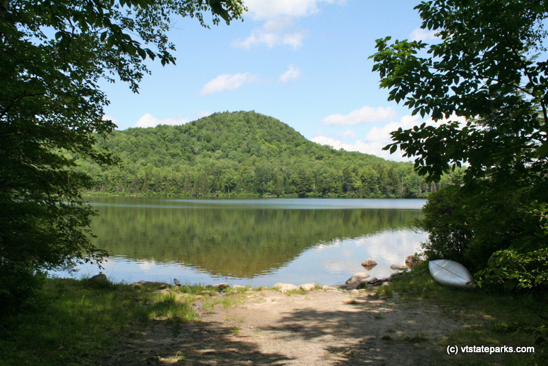
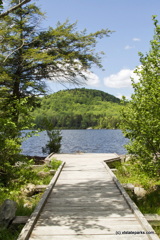
This moderate walk goes around secluded Kettle Pond.
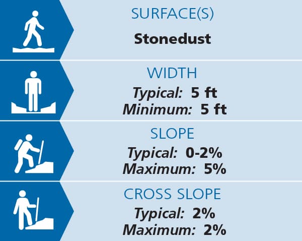
The trail leaves the parking lot off VT-232 and travels 0.17 miles along a 5-foot wide, compacted stone dust path to the water's edge and the boat launch. This section has minimal slopes and cross slopes. See Trail Access Information below for more information about this Accessible Experience.
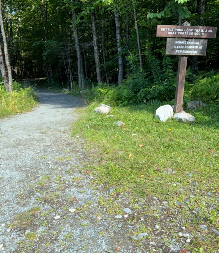
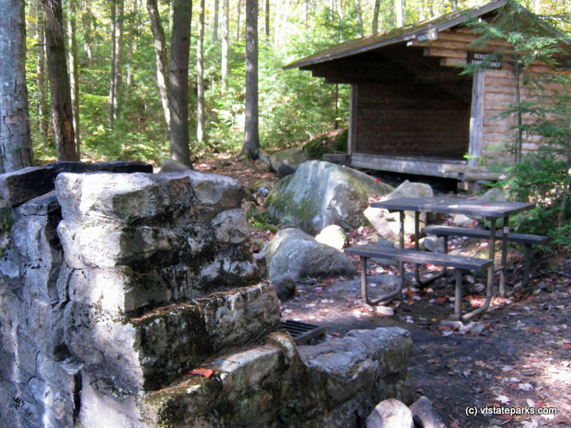
From there, stay right for the narrower and more rugged natural surface loop trail. At the far south end of the pond the trail is rocky and wet. After traveling the perimeter of the pond, the trail travels past the Kettle Pond Group Camping Area, returning to VT-232 along the gravel campground road. Travel a short distance north along the shoulder of VT-232 to return to the parking lot.
(Applies to trail section from parking lot to pond.)
Visit VT Department of Forests, Parks & Recreation online for more information or contact:
![]()
Kettle Pond Trailhead is located at a turn-out on VT-232, 6.5 miles south of US-2 in Marshfield and 7 miles north of US-302 in Groton.
Success! A new password has been emailed to you.

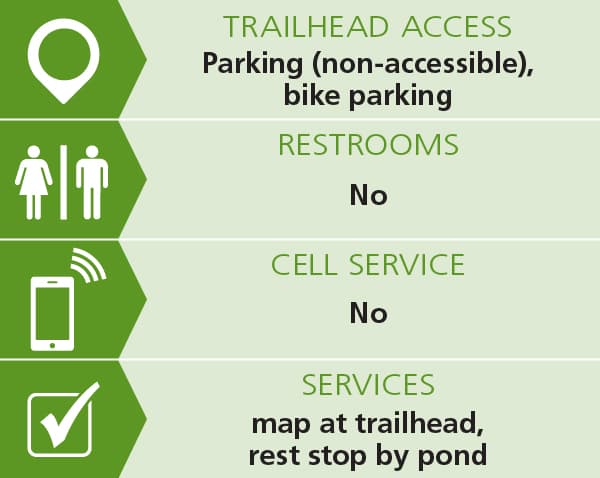
The kettle pond day use parking lot is great it has plenty of parking and it is packed dirt/gravel. There is no bathrooms or AT&T CELL SERVICE.