Gramwick Trail at Mountain Brook Reservoir

This trail follows the shoreline of Mountain Brook Reservoir, meandering through a mixed forest and over short sections of boardwalk, until reaching an expansive viewpoint of the water. 
Trail Activity
Hiking Snowshoeing
Length
1.60 miles, Round Trip
Difficulty
Easy
Town
Jaffrey (NH)
Surface
Packed Earth/Dirt, Boardwalk/Bog Bridging, Snow, Ungroomed
Pets
Permitted on leash
Fees
No

Description

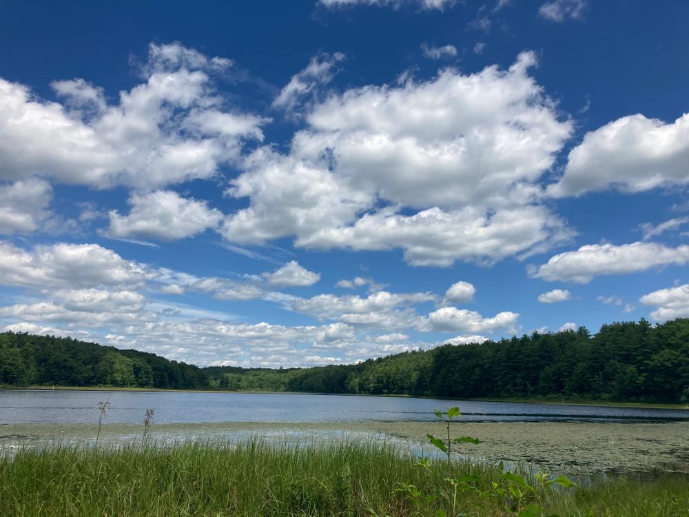
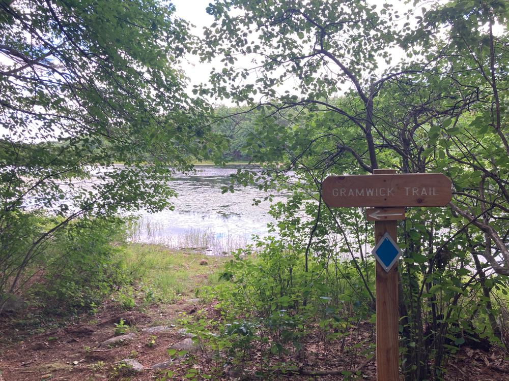
The Gramwick Trail travels about 0.7 mile along the shore over numerous, short boardwalks until reaching an intersection. At the juncture, an opening to your left provides access to the water while the trail continues to the right. The trail then merges with a snowmobile trail and, to the left, there is another waterside lookout; this one with a bench. 

As you follow this out-and-back trail, look for such wildlife as herons, ducks, frogs, and beavers.

Other Information

Herb and Colette Gramm graciously donated this 77-acre piece of land to the Monadnock Conservancy in May 2016 with the goal of maintaining the existing trail and protecting this mile-long section of the reservoir shoreline. The Gramwick Trail is named after the Gramms and their friend, Tom Sedgwick, who built the original trail. 

Trail Manager

For more information, visit the Monadnock Conservancy website or contact: 

Monadnock Conservancy

Monadnock Conservancy
15 Eagle Court 2nd Floor
PO Box 337
Keene, NH 03431
Phone: (603) 357-0600
Info@MonadnockConservancy.org
View website

Trail Tips

Be Considerate of Other Visitors
Yield to pedestrians on multi-use trails. Warn others that you are passing from behind with a friendly "Excuse me" and a smile.
Legend
Hide All

Trailhead Information

From downtown Jaffrey: From the intersection at Main Street and Route 202, head south on River Street (Route 202) for 0.4 mile. Turn right onto Gilmore Pond Road. After about a mile, when you reach the intersection with Sandy Lane, stay left continuing on Gilmore Pond Road. Go another 0.7 mile; turn left on Peabody Hill Road. Head down the hill. The parking lot and trailhead are on the left, just after the bridge.

Click on a parking icon to get custom directions
Please Log In or Create Account to add comments.
These awesome businesses support our goal of connecting people to outdoor adventures!
Hang Tight!
Nearby services are loading
No Results
No Services Found
SHARE THIS TRAIL

Add Trail Log

Please wait…
Join In on the Fun!
Log in or create an account below to unlock all the great features of Trail Finder: keep track of trails you want to do, preserve memories of trails you’ve done, earn badges, and more!
Your log in attempt was not successful. Please try again.
    Lost your password? Reset your password
    Don't yet have an account?
    There was an issue with your submission. Please try again.
      * Indicates required field
      Already have an account? Login here
      Enter your username, and we will send you a new, randomly generated password to your email account.
      There was an issue with your submission. Please try again.

        Success! A new password has been emailed to you.

        Log in now

        Please wait…