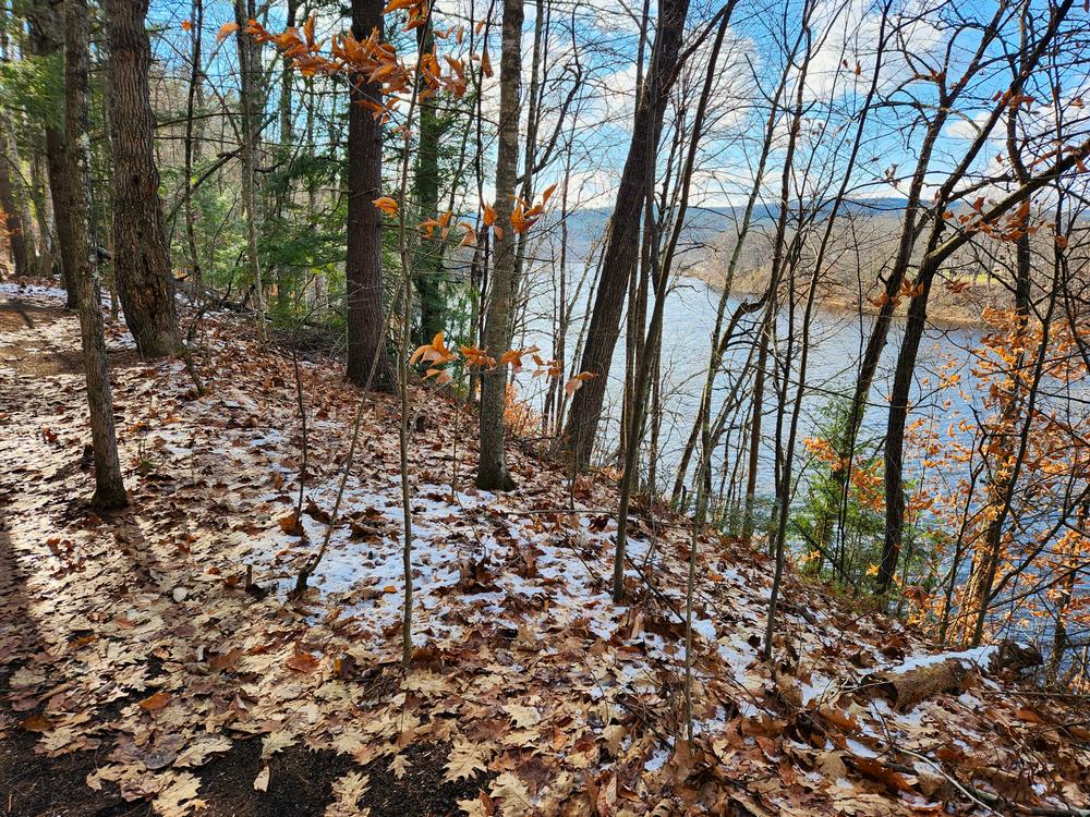
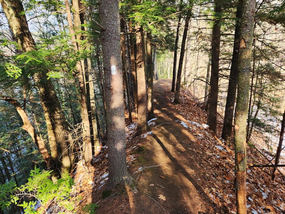
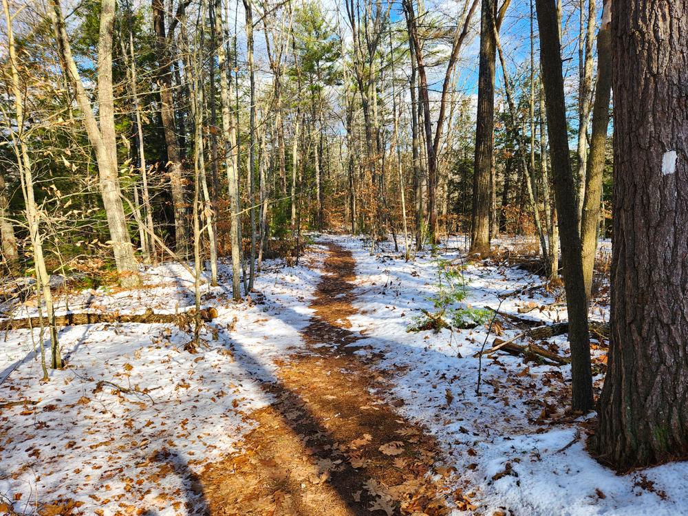
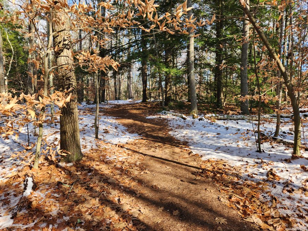
The trail begins by heading north up what had been a road. The old road ends before the trail reaches the bank down to the Connecticut River. The trail follows the river up over a narrow knoll, down and past a private company, then the trail rises over a narrow knoll before swinging back toward the river. The trail briefly departs from the river to avoid gulches, but quickly returns to the river bank. The Conservation Commission has installed two sections of stairs to help hikers manage steep banks.
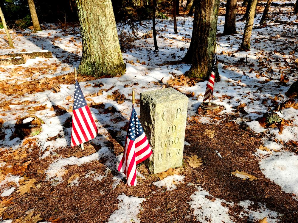
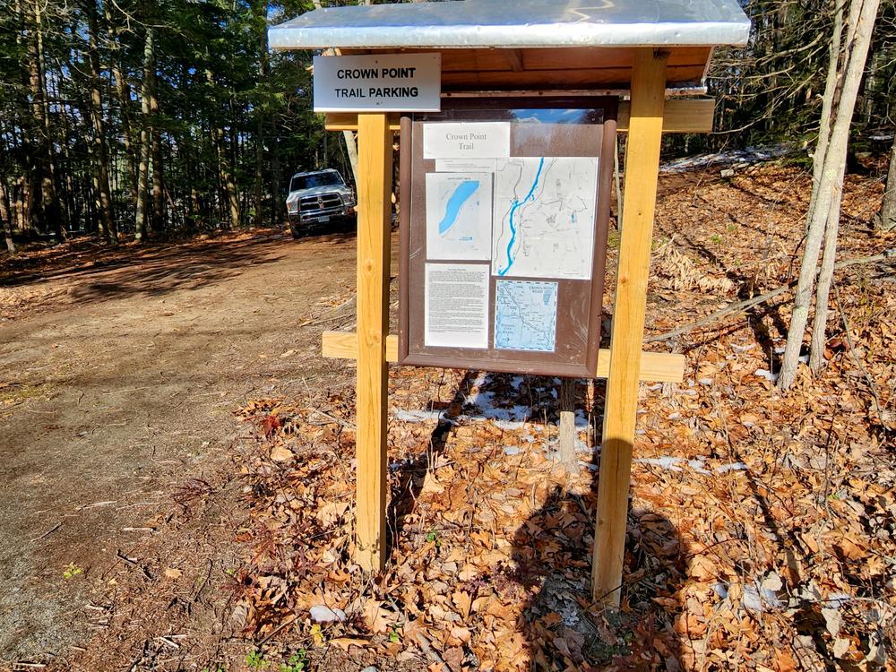
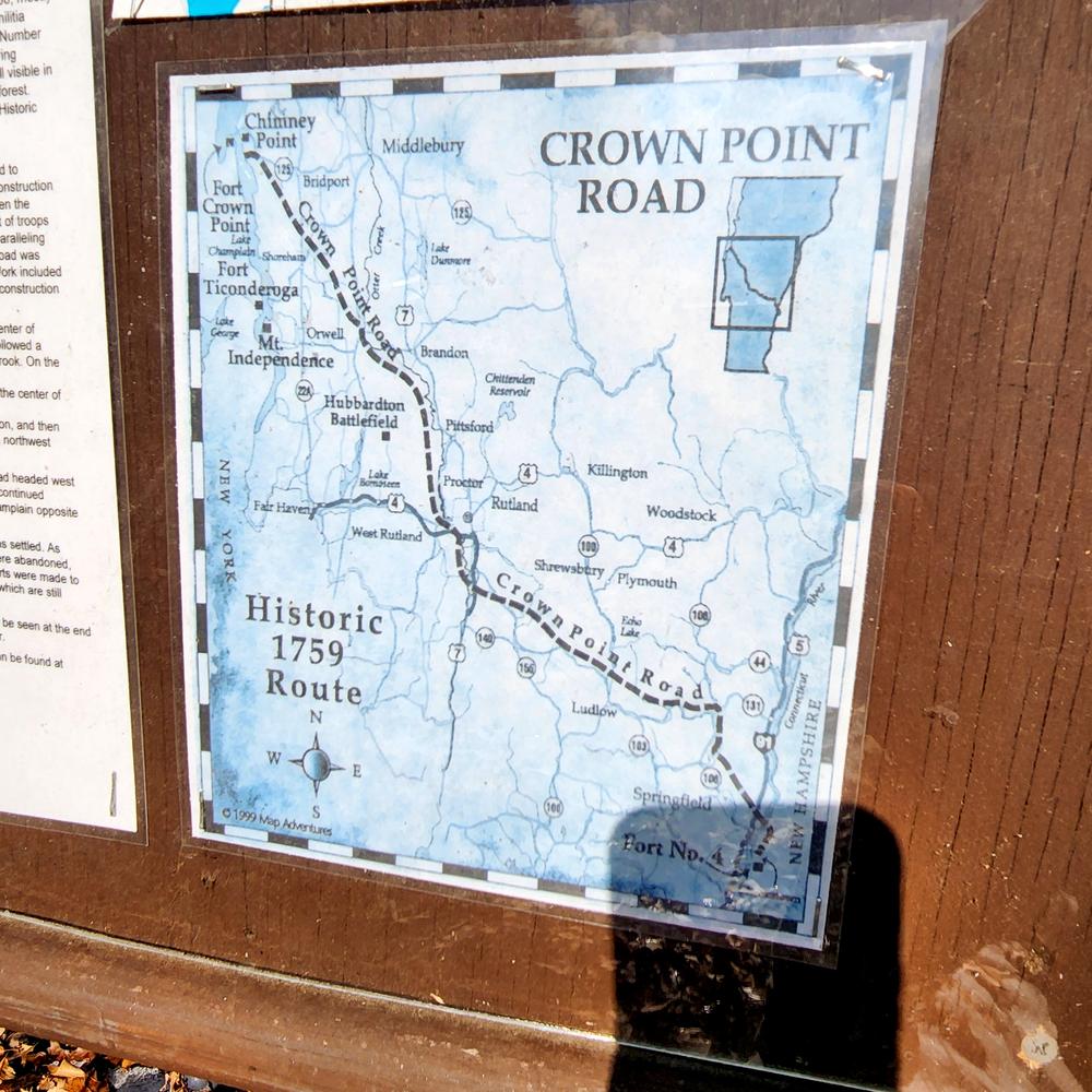
The trail ends at a Crown Point Road marker placed by the DAR, the first on the New Hampshire side of the river. Information on the history of the Crown Point Road can be found at the kiosk.
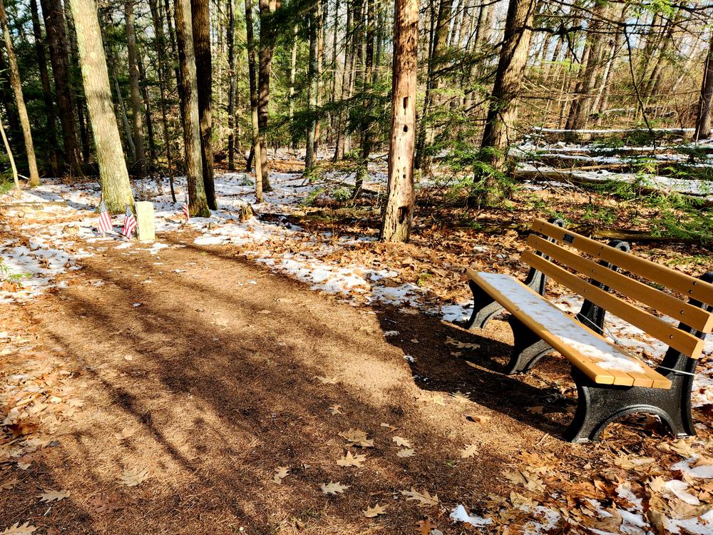
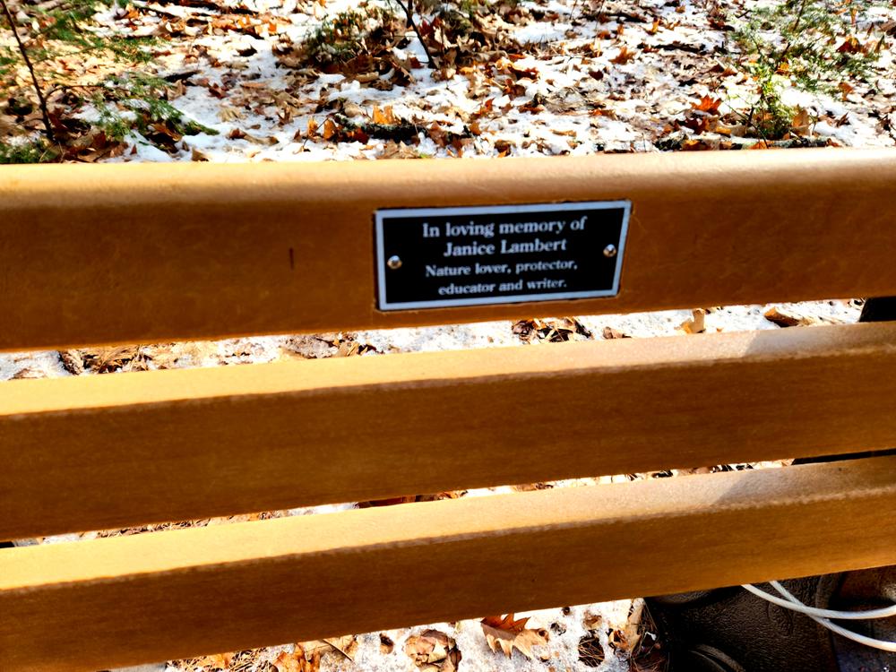
John Lambert donated a bench which is installed at the northern end of the trail. There are many birds along the trail and northern flying squirrels have been seen at the northern part.
The trail is 0.6 miles one way, making for a 1.2-mile out-and-back hike.
For additional information, visit the Charlestown Conservation Commission website, or contact:

The trail starts on Lower Lovers Lane behind the kiosk, which is right across from Jones Road or just above the end of the guard rail. The parking lot is behind the kiosk in the woods. If do not want to park in the woods, you can park between the road and the woods, just don’t block the entrance to the parking lot.
Success! A new password has been emailed to you.