Two hiking trails are located within the campground portion of Coolidge State Park.
CCC Trail (1.5 miles one way) Blue blazes. Elevation change: 1,050 to 1,850 feet.
Start at the park entrance off Route 100A near a wooden bridge leading to the site of a former picnic shelter. The trail leads steeply uphill and connects to an old fire road that climbs moderately for approximately a half-mile to an intersection. Straight ahead a spur trail leads to the campground lean-to loop and park office. To the right the CCC Trail drops steeply downhill through a hemlock grove, crosses a brook, and then continues uphill for half-mile to another intersection where a spur trail on the left leads to the tent loop. The CCC Trail continues straight and winds steadily uphill for the final half-mile before coming out at the Bradley Hill picnic shelter. The trail continues past the shelter and comes out on the park road opposite a parking area and the entrance to the Slack Hill Trail. Day-use fee charged during operating season.
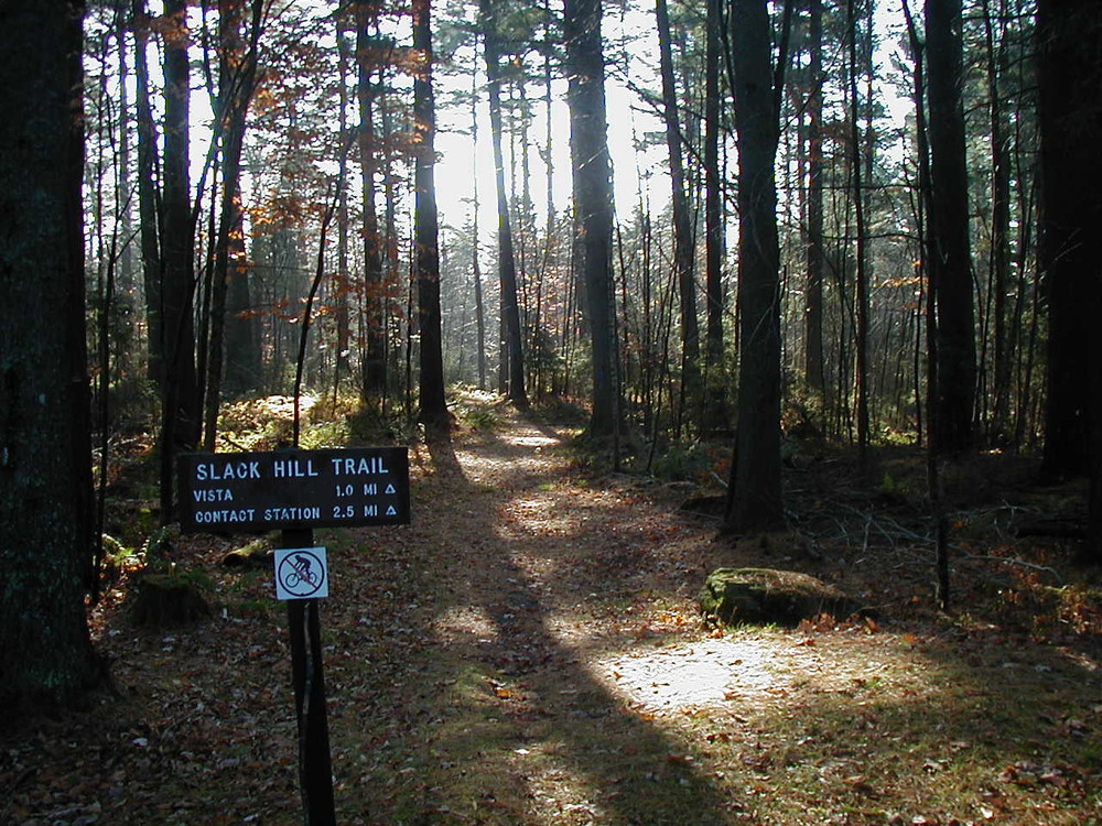
Slack Hill Trail (2.5 miles one way) Blue blazes. Elevation change: 1,550 to 1,850 feet.
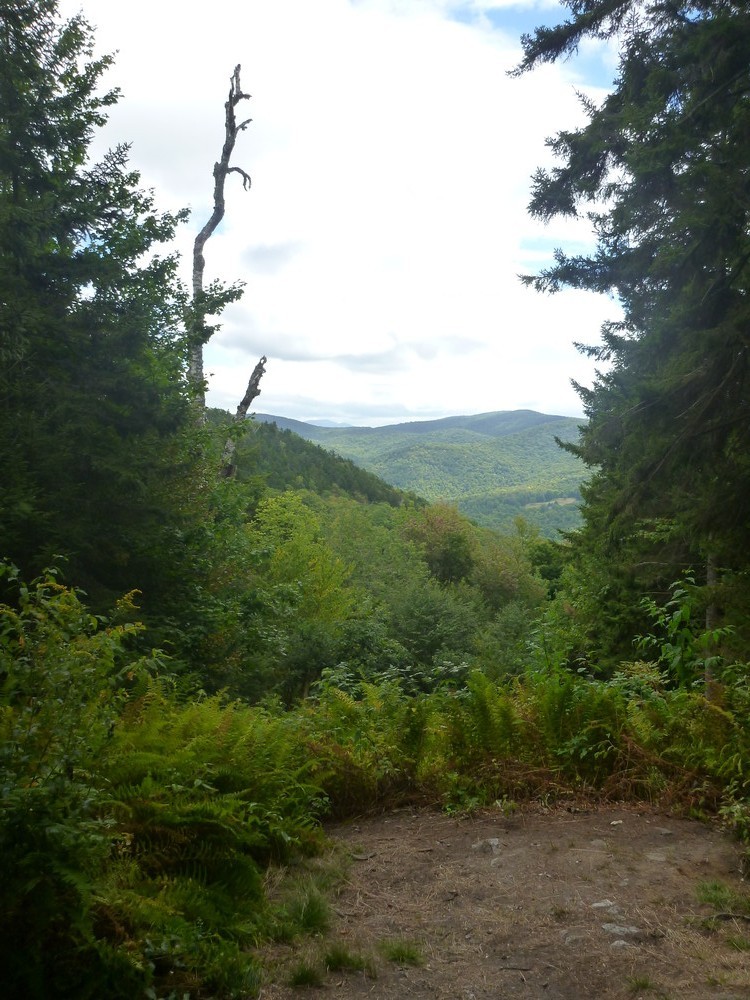
The Slack Hill Trail begins at the park office, climbing moderately for the first half-mile through hardwoods; then a short steep section continues to a trail intersection. The trail on the right descends back to the park road just above the office. The main trail continues left climbing moderately for one mile before descending a short distance to a narrow vista located near the 2,174 foot summit of Slack Hill. On clear days Mount Ascutney can be seen in the distance. The trail continues alternately climbing and descending for another mile to the day-use area parking lot located on the park road. Day-use fee charged during operating season.
A loop hike of approximately 4.0 miles is possible by combining sections of both trails. Start at the park office and hike 2.5 miles on the main Slack Hill Trail to the paved park road. Cross the road and follow the CCC trail past the Bradley Hill picnic shelter. Continue down the CCC Trail for approximately one mile going past the spur trail to the tenting loop and through a small gorge with a brook crossing. Cross the brook and continue uphill to the trail intersection where the spur trail on the right leads to the campground lean-to loop. Turn right on the lean-to loop road to get to the park office.
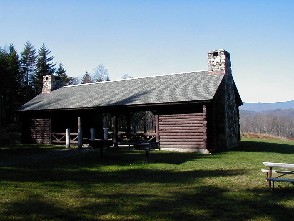
Coolidge State Park contains 36 lean-to sites and 26 tent/RV sites arranged in two camping loops. There are four restrooms providing modern plumbing, two of which have hot showers ($). There is a large picnic shelter and group camping area. There is also a nature center, horseshoes, and a play area. There is a sanitary dump station for RVs, but no hookups. Many day hikes are available in the park. Park is open from Memorial Day until Columbus Day.
Visit Vermont State Parks online for more information and a printable map or contact:
![]()
Parking is available at several locations within Coolidge State Park. Check with the park staff during the park operating season for the best place to park for the trail that you are hiking. The entrance to Coolidge State Park is located in Plymouth, Vermont, on Route 100A approximately 2 miles north of the junction of Route 100 and Route 100A. Day-use fee charged during operating season.
Although foot access is allowed in the off season, there is no plowed lot for parking.
Success! A new password has been emailed to you.