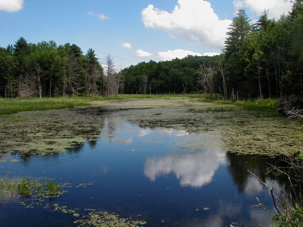
Bomoseen State Park includes a diverse landscape with nearly 4000 acres of forest, wetlands, and old fields. There are two campgrounds - Bomoseen campground and Half Moon campground and several trails within this large property. The terrain is dominated by a series of north-south ridges with forests of hemlock and white pine. Other areas include oaks and hickories, occasionally with a grassy understory or savannah. Water is found throughout the property in a series of scattered small remote ponds, large wetlands, and the 200-acre Glen Lake with its nearly undeveloped shoreline.
High Pond Trail - A scenic walk through open forest to secluded High Pond. Beavers, ducks, herons, turtles and frogs are often seen.
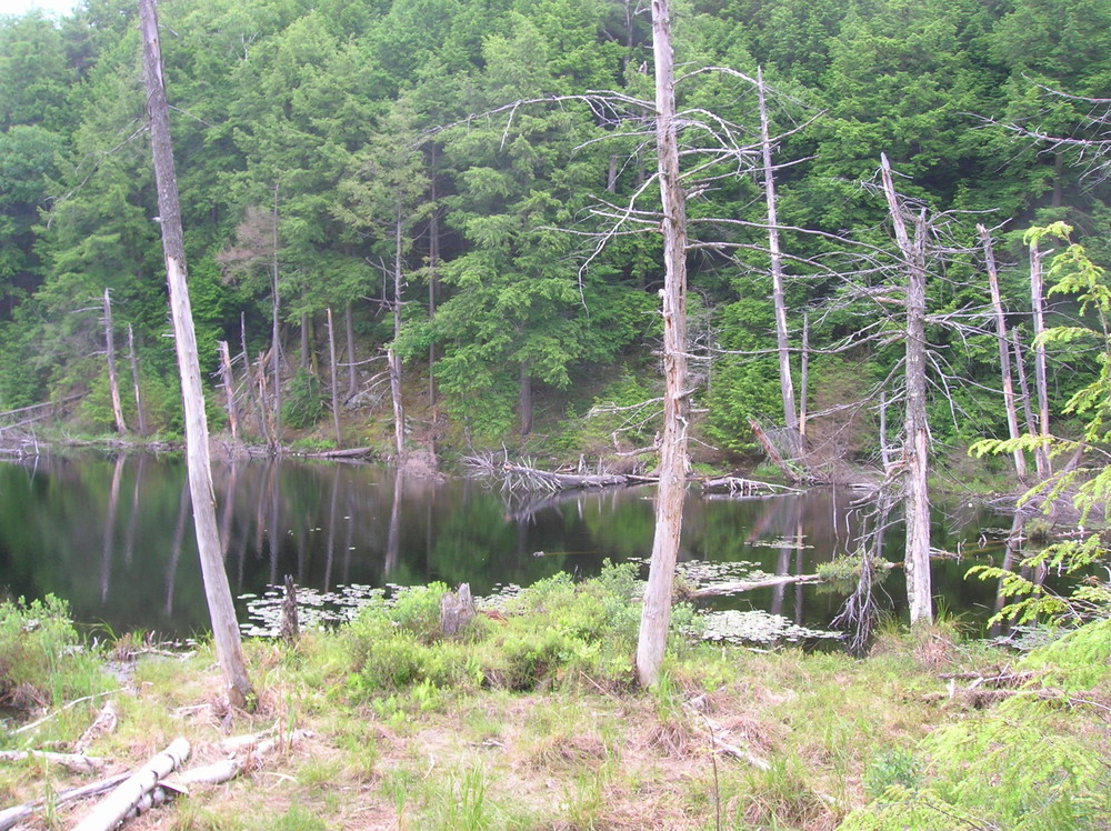
Half Moon Shore Trail - An easy lake-side walk around the shore of Half Moon Pond. This trail connects to the Glen Lake Trail if a longer hike is desired.
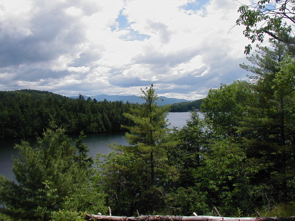
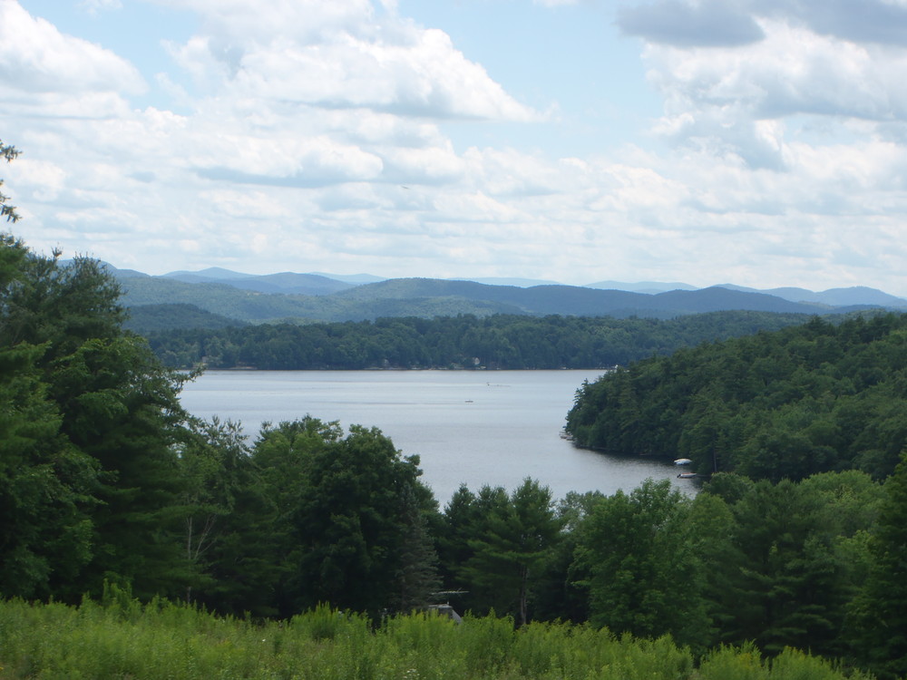
Glen Lake Trail - At its southern end, the trail begins at the Glen Lake boat launch off the Moscow Road. Traveling north, the trail follows along the eastern shore of Glen Lake. The trail intersects with the Said road and detours around a wetland by following the road briefly. Once past the wetland, the trail leaves the road and heads back toward and along the shore of Glen Lake until it intersects the Said Road again at the northern end of the lake. The trail has some steep sections. Once at the northern end of the lake, the trail crosses the wetland along the road and again follows it briefly until it heads north along the western shore of the lake. It ascends to an overlook 100 feet above the lake offering spectacular views to the southeast. The trail continues along a ridge to Moscow Pond and Beaver Meadow and descends through an oak-hickory forest. The trail crosses a series of ridges and crosses Moscow Road before reaching Half Moon campground.
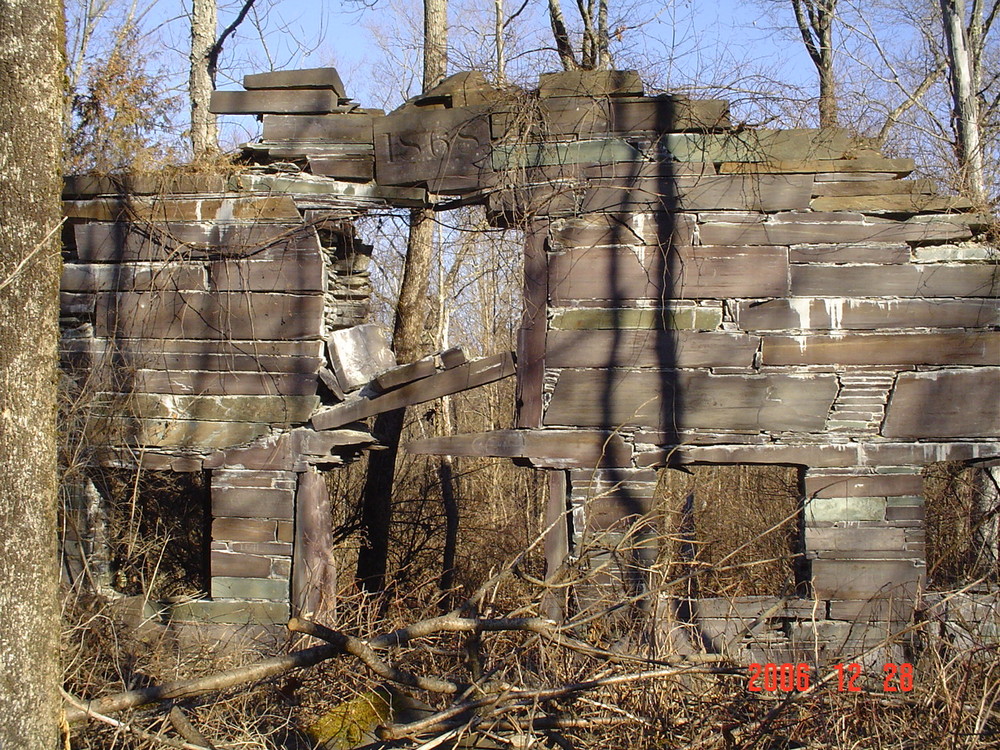
Slate History Trail - guides you through the remains of the West Castleton Railroad and Slate Company. A self-guiding pamphlet is available at the Bomoseen campground contact station.
Bomoseen Loop Trail - the trail begins in meadow behind the Bomoseen campground contact station, crosses the road and ascends into a meadow overlooking Lake Bomoseen. Near the top of the meadow the trail heads into the forest and travels goes through stands of white pine, hemlock and hardwoods. Vistas of Lake Bomoseen, Glen Lake and wetland.
Visit VT Department of Forest, Parks & Recreation online for more information or contact:
![]()
Trailheads for the High Pond Trail and the Half Moon Shore Trail begin in Half Moon campground. Trailheads for the Bomoseen Loop Trail and Slate History Trail are in the Bomoseen campground.
Fees are charged to use campground and day use (beach) facilities during park operating season. Half Moon offers camping only. There is no day use. There is no charge to park outside of the campgrounds and hike the Glen Lake Trail (no facilities available).
The Glen Lake Trail connects the two campgrounds with trailheads at the Glen Lake boat launch on the Moscow Road near the Bomoseen campground and another at the Half Moon campground.
The only plowed parking in the winter is at the fishing access.
Success! A new password has been emailed to you.