Habitat
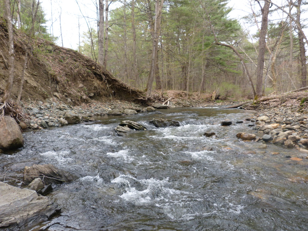
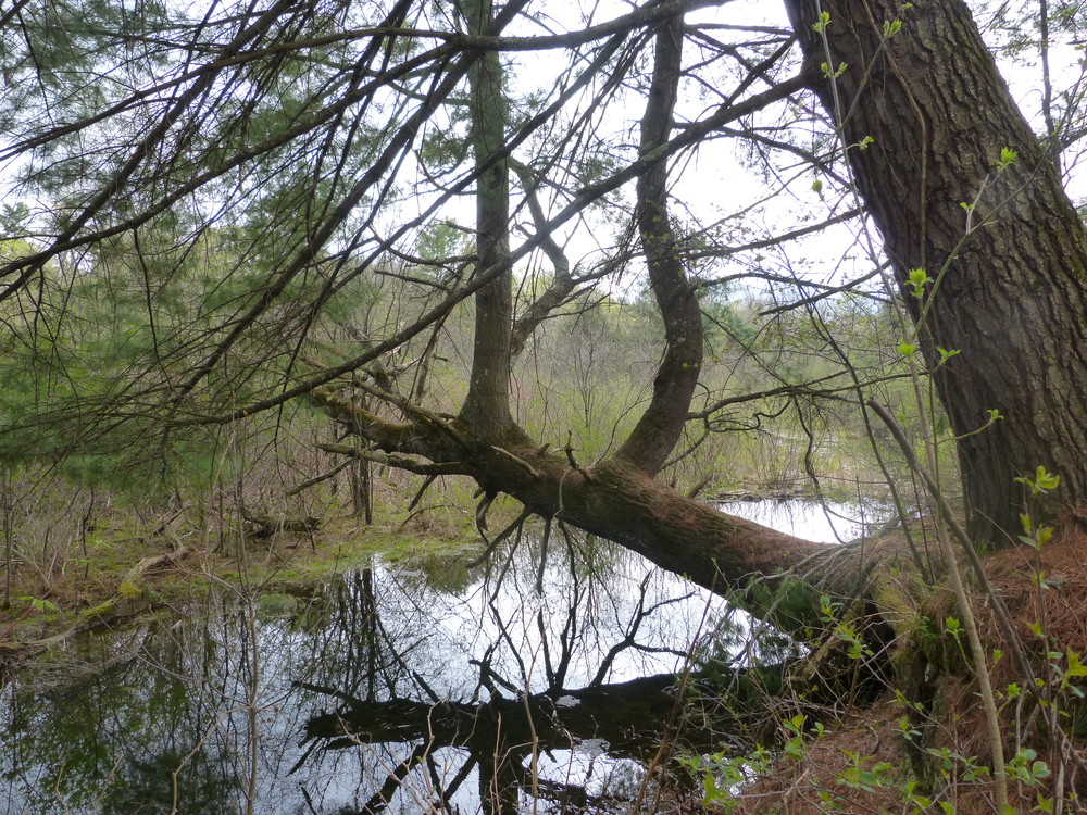
The Big Rock preserve offers a variety of habitats, particularly for aquatic creatures who may select the riffles, pools, and stone-paved brook itself, or the still, silty-bottomed wetlands created by beaver. Beaver have been active here for years, and when feeling ambitious in dry times, dam the main stem of the brook itself. Many other animals and plants thrive in the wetlands they create. The otter and its little brother, the mink, frequent the water's edge. Bear visit the rocky knoll, traveling under the cover provided by hemlocks and dense forest to the south. Deer wintering in these hemlocks drink from the brook and browse shrubs and small trees. Look for moose tracks in the wetlands near the brook. Protecting the stream-side vegetation from clearing is a good way to protect the quality of water in Grant Brook. Plant stems and roots capture sediment from stormwater runoff and filter pollutants before they can corrupt the stream. Shaded once more, the stream is cooler and provides more oxygen and cover for fish and their food than it did a century ago.
Please...
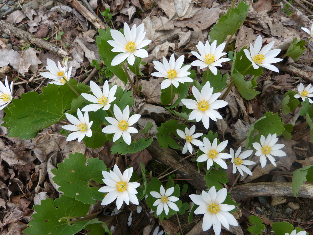
Muscle-powered travel only. No motorized vehicles. Unmarked side trails are not for public use. Dogs are welcome if they are under the control of their owners. Leave flowers and other plants growing where you found them, especially the poison ivy near the Big Rock. And please, carry out what you carry in.
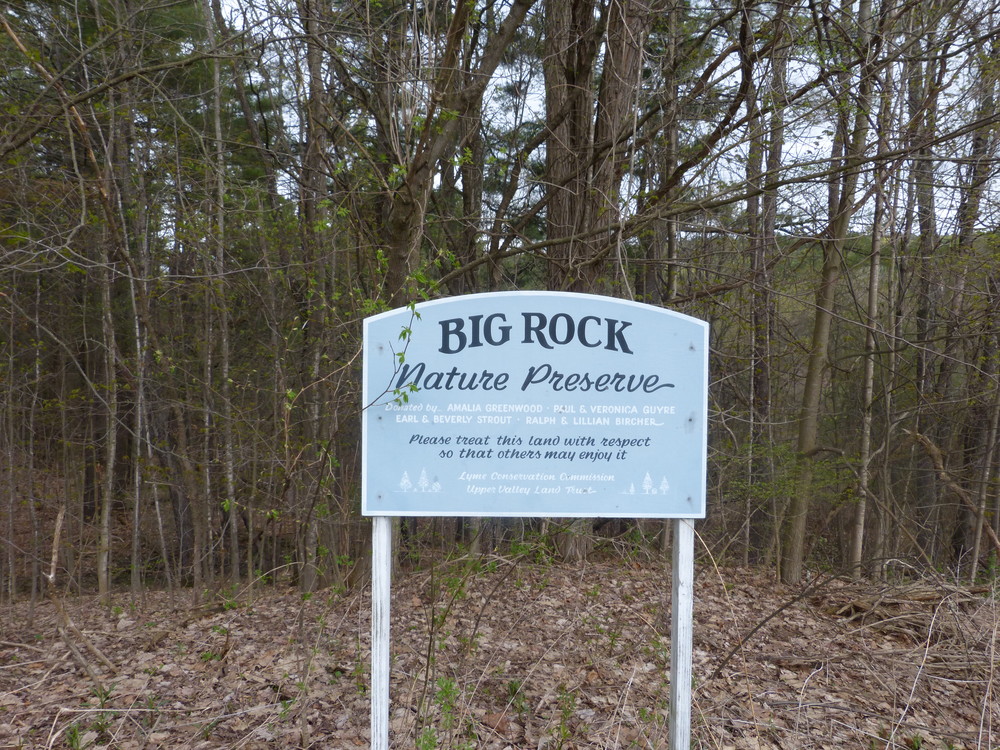
This 23-acre preserve behind Lyme Village protects the northern corridor of Grant Brook and a large wetland behind the Common. It was created in 1998 with a gift of ten acres to the Town from Amalia Greenwood, Ralph & Lillian Bircher, and Beverly & Earl Strout, and of the remainder from Paul & Veronica Guyre to the Upper Valley Land Trust in 2002.
History
Lyme people have long enjoyed the property for picnicking and swimming; initials carved in the landmark "Big Rock" date back to the 1800s. Photographs of this area, taken a century ago from Washburn Hill, show an open, unshaded brook, close-cropped pastures, and a stonewall-lined lane leading to the country store. The only trees between the brook and the Common were those next to homes and an apple orchard supplying household cider. A few apple trees, or their progeny, survive in the woods that have grown up around them, offering a treat to deer and turkeys. Stonewalls coursed through the land then as now. Today, without boundaries to mark or sheep to control, they shelter chipmunks and weasels and serve to keep the tall pines from wandering off.
Geology
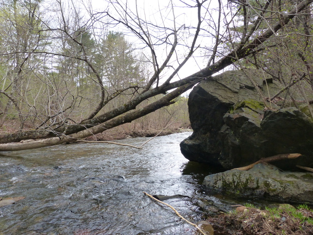
Grant Brook falls 2500 feet on its journey from Smarts Mountain through the villages of Lyme Center and Lyme Plain, flowing through cascades, riffles, pools, and wetlands on its way to the broad Connecticut River. The Big Rock, which gave the preserve its name, is a fragment of a ridge of erosion-resistant metamorphic rock, seen in the nearby knoll and the ledge across the brook. Rushing water has managed to move it only slightly downstream over the millennia. Smaller cobbles and stones in the brook have arrived from places uphill, rounded by the ride.
Visit Town of Lyme online for more information or contact:
![]()
From the east: The trailhead is located on the west side of Market Street, 1/8 miles south of Lyme Common, at a blue sign near a group of mailboxes. Please be courteous to residents when parking.
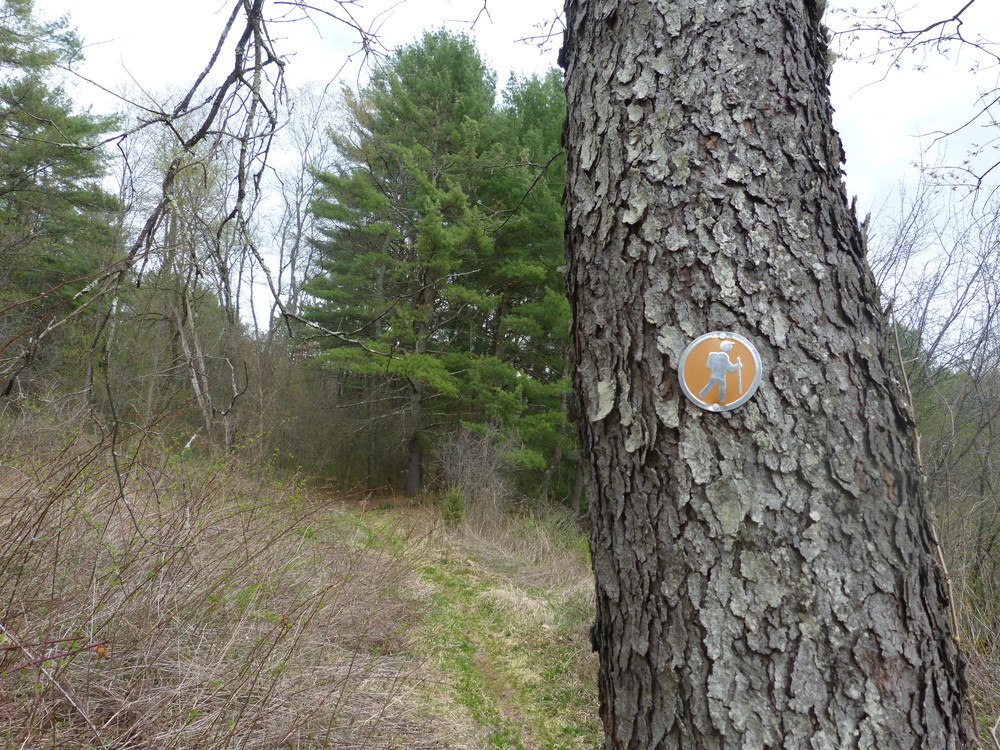
From the west: The trailhead is located on the east side of Route 10, 1/4 mile south of Lyme School, and just above a bridge over the brook. Trails are marked with reflective orange and aluminum disks.
It is mud season in Vermont. Even if a trail is marked as open, pay attention to trail conditions. If you encounter mud or ice, turn around. Come back once the trail has had time to dry out.
Success! A new password has been emailed to you.