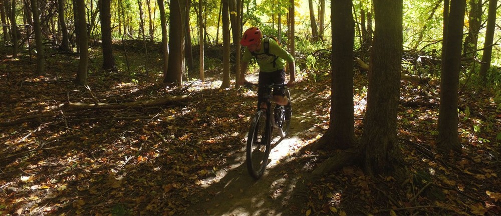
Trails are rated for mountain biking in difficulty similar to ski trails. Ratings are shown on the map at batsvt.org, but the rating color is different than the color the trail is blazed (markings on trees):
Green Circle: gentler grade, more beginner trail
Blue Square: intermediate, more hills, possibly more technical
Black Diamond: difficult, hillier, more technical, more stamina needed
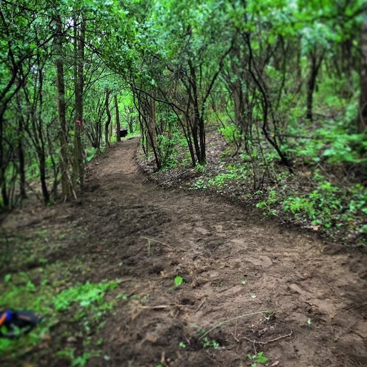
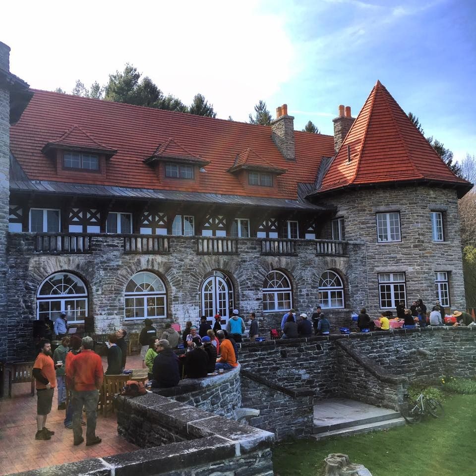
Hops and Vines (Intermediate, Orange Blazes): Was the first new trail that BATS built in the fall of 2015. It was built with mountain biking in mind, but makes an excellent running, hiking, and cross-country skiing trail. It can be ridden both ways and runs from just south of the Everett Mansion down to Monument Ave by the Southwestern Vermont Medical Center.
Halloween Tree (Intermediate, Red Blazes): Draws its name from an old-growth burled sugar maple tree alongside the trail. The trail runs from the Carriage Road north of the Everett Mansion along the Northeastern flank of Mount Anthony, ending at the Garlic Festival field at Route 9 and Fox Hill Road. The trail was built in the spring and summer of 2016 and can be ridden in both directions.
The Cave Trail (Intermediate, Yellow Blazes): Connects the Carriage Road with the the Garlic Festival Field at Camelot Village. The Everett cave can be found just upslope from the southern portion of the trail.
Fieldhouse Trail (Beginner): Is a mowed path that connects the SVC fieldhouse to the Carriage Road
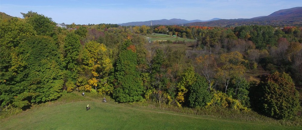
Carriage Road (Beginner, Yellow Blazes): Is a beginner-friendly trail which takes you along the old access road to the Everett Mansion. An old stone cobble road leads to an overlook with excellent views of the Vermont Valley, Battle Monument, and Green Mountains.
Everett Path (Intermediate, Red Blazes): Starts at the south end of the Everett Mansion parking lot by the kiosk, and runs along the gravel road to the water tank. It then runs above the mansion cascades descending down to the Carriage Road.
Ursa Way (Intermediate, Purple Blazes): Climbs a steep pitch above the water tower, and follows an old logging road, eventually descending down to an open field with expansive views of Bennington and the Green Mountains. It is best biked south to north.
The Wall (Expert, Blue Blazes): Climbs sharply from the field above the Carriage Road. Although a fine hiking trail, it is recommended as a descent on a bike.
Old Farm Road (Beginner): Can be used to climb back up to the Everett Mansion area from Monument Ave.
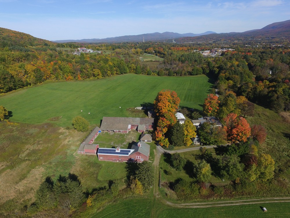
Hospital Trails (Beginner): Southern Vermont Medical Center has helped improve and expand their trail system adjacent to their campus. Most trails are well marked and make for excellent beginner biking and hiking trails.
Latest trail conditions can be found at trailhub.org
Visit Bennington Area Trail System online for more information, or contact:

PARKING INFORMATION for BATS Trails on Mt. Anthony
SVC:
-Campus hours 8am-5pm. Parking Lot closed from 10pm-5am. No overnight parking
–Park a level below the existing kiosk at SVC (not against the woods), at the Upper Mansion Lot and use designated parking spots during the school year campus hours
-Please avoid parking at the Athletic Center.
Other Parking:
-Park at Stark Street Playground, a Town of Bennington Recreation Site & access via Southern VT Medical Center trails. Then cross road and access via the SVC Ballfields [Room for 4-5 cars]
-Park in town nearby and walk/bike in
–South end of the Camelot Village parking area. Follow sign for Colgate Heights on Fox Hill Drive. First Left. Respect property owners. [Room for 4-5 cars at end closest to Fox Hill Drive]
–Bennington Center for the Arts– Call first, they save a few spots for us. Thank you!
-Southwestern Vermont Medical Center- See Trail Map. Please don’t park in Employee lots (unless you are an employee) and don’t use prime spots needed for patient parking
Success! A new password has been emailed to you.