Please be aware that the northern half of Vermont was affected by major flooding. Roads to trailheads may not be open for the weekend, turn around if you encounter closed roads.

Averill Mountain

A short hike just south of the Canadian border with views over Averill Lake and beyond
Trail Activity
Hiking Snowshoeing
Length
1.20 miles, Round Trip
Difficulty
Moderate
Town
Norton (VT)
Surface
Packed Earth/Dirt, Rock/Ledge
Pets
Permitted on leash
Fees
No

Description

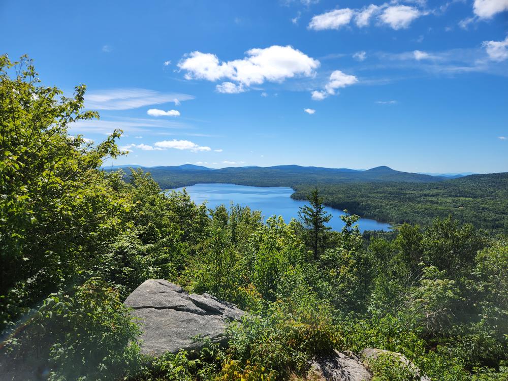
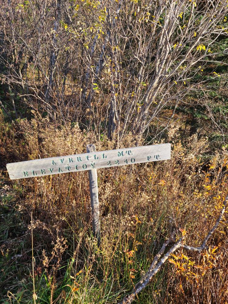
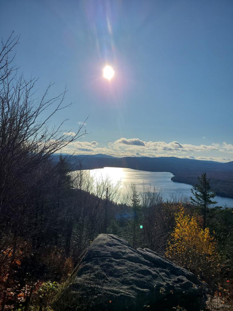
The trail rises somewhat steeply through mixed forest to the summit of Averill Mountain, where there is a rock ledge with plentiful views of the surrounding landscape. The mixed forest offers plenty of opportunity to hone your birding-by-ear skills with common hardwood songbirds such as the black throated green warbler and the ovenbird. The rocky cliffs may provide habitat for denning porcupines. Keep and eye out in the trees for these particularly prickly critters!

Other Information

Averill Mountain summit is part of the Averill Mountain Wildlife Management Area. Wildlife Management Areas are managed to protect, manage, and conserve the fish, wildlife, vegetation and other natural and cultural resources of Vermont. 

Access to the summit is through private land. Please respect the landowners and the resource by staying on the trail and taking out anything you bring in. 

Trail Manager

For more information, view the Averill Mountain map and description or contact:

Vermont Department of Fish & Wildlife - St. Johnsbury District Office

Vermont Department of Fish & Wildlife - St. Johnsbury District Office
374 Emerson Falls Road
St. Johnsbury, VT 05819
Phone: 802-751-0100
fwinformation@vermont.gov
View website

Trail Tips

Dispose of Waste Properly
Keep the Twin States (Vermont & New Hampshire) green and clean! Pick up trash, even if it's not yours. Leave soon-to-be trash like excess packaging, stickers, and twist ties at home.
Legend
Hide All

Trailhead Information

From the intersection of VT-114 and VT-147 in Norton (the turn for the border crossing), head east on VT-114 for four miles. There is room to park on the south shoulder of VT-114 at the intersection with Lake View Road. Make sure that you park fully off the road and out of the sight line from the stop sign at Lake View Road. The trailhead is on the north side of VT-114 slightly west of the intersection. 

Click on a parking icon to get custom directions
Please Log In or Create Account to add comments.
These awesome businesses support our goal of connecting people to outdoor adventures!
Hang Tight!
Nearby services are loading
No Results
No Services Found

Trail Alerts

Trails
Private Property
This trail passes through private property. Please respect the landowner and protect future access by staying on the marked trail and following all rules.
SHARE THIS TRAIL

Add Trail Log

Please wait…
Join In on the Fun!
Log in or create an account below to unlock all the great features of Trail Finder: keep track of trails you want to do, preserve memories of trails you’ve done, earn badges, and more!
Your log in attempt was not successful. Please try again.
    Lost your password? Reset your password
    Don't yet have an account?
    There was an issue with your submission. Please try again.
      * Indicates required field
      Already have an account? Login here
      Enter your username, and we will send you a new, randomly generated password to your email account.
      There was an issue with your submission. Please try again.

        Success! A new password has been emailed to you.

        Log in now

        Please wait…