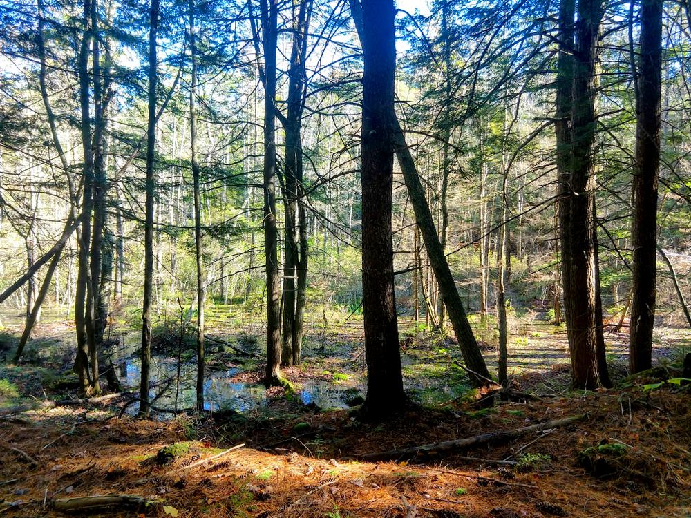
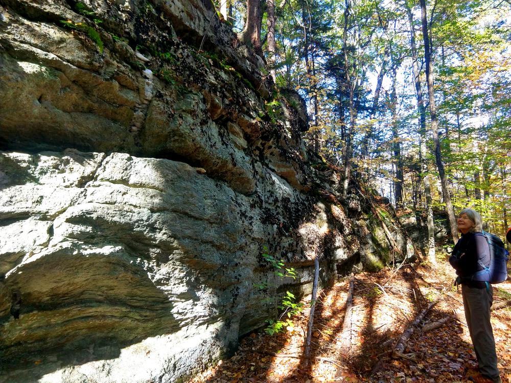
The Sleepy Valley Trail (1 mile) begins at the VT-35 trailhead, immediately heading into the woods and across a small seasonal drainage stream. The trail climbs a hill, crosses a couple of wetter areas, then eventually reaches a steep final ascent across a large interesting boulder area. Although this is not technical rock climbing, it is a challenging stretch of trail requiring hikers to carefully pick their footing through the large boulders. At the height of the hill the trail passes through hemlock-dominated woods, then begins a steep descent through mixed hardwood forest with dense stands of hemlock. At the base of the slope the trail crosses Ledge Brook. The trail then arrives at the Ledge Road trailhead.
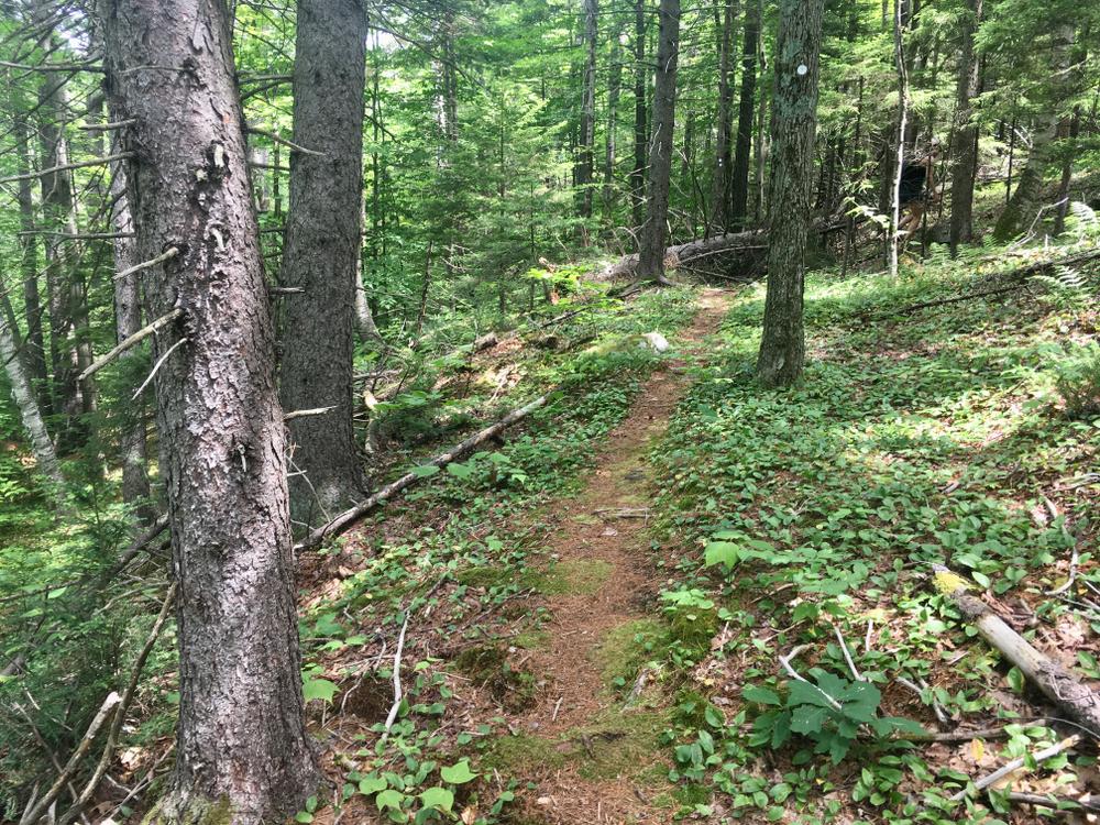
The Creature Rock Trail (0.5 mile) begins next to the kiosk at the Ledge Road parking area. The trail climbs swiftly uphill to a level area with a rather open understory, surrounding a pile of house-sized glacial erratic boulders called “Creature Rock”. The name comes from previous owner’s children who occasionally heard animal sounds from within the crevices that are an appealing shelter. The trail then continues uphill through mixed northern hardwoods. At the height of the land there is a short 0.1-mile spur trail to the right (north) to a viewpoint. The trail continues rolling to an intersection with Shortcut Road. This is a very limited-use old woods road. Continue west along the road to find where the next section of trail departs the road headed west.
The Wetland Trail (0.5 mile) continues west, departing the old woods road near a beaver wetland (on the right). The trail continues through mixed northern hardwoods, gradually climbing to a junction with Kidder Hill Road. This is a minimally passable old town road.
The Athens Dome Trail (1.2 miles) crosses Kidder Hill Road and continues slightly south and west climbing uphill through hardwoods forest. At approximately 1 mile the trail drops slightly to a level wooded spruce wetlands. The trail traverses just the southern tip of this special ecosystem, notably dark, silent, and hummocky, and dominated by black spruce. The trail climbs up again and across the side of the slope to a junction with the Bear Hill Trail.
Dogs are permitted but must be on a leash at all times.
The three-sided shelter can be reserved for overnight use by calling (802) 376-8365.
There are intersections of the trail with Town Class IV roads. These old roads make for interesting loop opportunities, which can be seen on the WHPA map available at the kiosks and on the Windmill Hill Pinnacle Association website.
The VT-35 trailhead (with a parking area and kiosk) is located across from Sleepy Valley Road, which leads to the trailhead for the connecting trail to the Windmill Ridge Reserve trail system. To explore that trail system, please refer to the Windmill Ridge Trail map available at those kiosks or visit the Windmill Hill Pinnacle Association website. The physical address of the trailhead is 28 VT-35, Athens, and is across VT-35 from Sleepy Valley Road.
The western end of the trail system intersects with the Bear Hill Trail, managed by the Grafton Improvement Association. Hikers can go south to Turner Hill Road (no parking), or north to the trailhead with a parking area off Kidder Hill Road in Grafton. This trail is shown on the WHPA website trail map.
For additional information, visit the Windmill Hill Pinnacle Association website, or contact:
![]()
Sleepy Valley Trailhead
From Cambridgeport, follow VT-35 south 0.5 miles the to trailhead on left (west) side of VT-35.
Ledge Road Trailhead/to Creature Rock Trail (758 Ledge Road, Grafton)
From Cambridgeport, follow VT-121 west 0.5 mile and turn left onto Ledge Road. Parking is 1 mile up and beyond the town maintained portion of the road. Parking is to the left, and a kiosk to the right.
Success! A new password has been emailed to you.