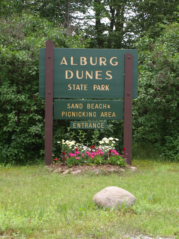
Alburgh Dunes is 628-acre property that became a state park in 1996. It is named for the sand dunes near the south-facing natural sand beach. This beach is among the longest beaches on Lake Champlain. It is open for day use between 10:00 AM - 9:00 PM (or sunset) from Memorial Day weekend to Labor Day weekend. During this period, a day-use fee is collected.
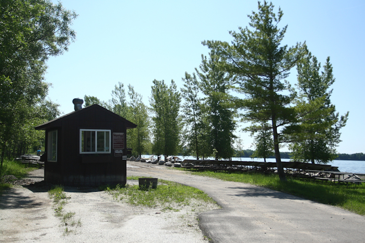
Management strategies at Alburgh Dunes work to balance protection and preservation of the park’s unique natural features while providing outdoor recreation opportunity and access to Lake Champlain. Camping is not permitted. There is no public drinking water supply at Alburgh Dunes, and fires are allowed only in picnic grills in the picnic area. Sanitary facilities, and the picnic and parking areas, are at the west end of the beach. The “beach road” (closed to motor vehicles) is a bicycle and pedestrian path between the dunes and wetland. A recommended 1.25-mile walk follows either the beach or “beach road” to the east end and returns the opposite way.
Origin of the Sand Dunes: The beach and dunes together make up what is known as a barrier island, geologically similar to coastal formations more common along ocean shorelines. At Alburgh Dunes, the sand has come from a layer of glacial till, the soil that was left atop the low bluffs southeast of the beach when the last glacier melted. The bluffs have eroded over thousands of years, and the soil carried off by lake currents. Sand from that soil settles out in the pocket between the rocky “Point of Tongue” to the east and “Coon Point” to the west, forming the beach. Prevailing southerly winds, in the late summer and fall when lake levels are the lowest, blow the sand back from shore, forming dunes. It’s a barrier between the lakeshore and the wetland behind, and an island because the beach and dunes, however slowly, continue to migrate into and over the wetland. Deposits of exposed peat are visible on the low end of the beach or in the shallow water just offshore. This peat was formed in the wetland; as the beach and dunes have moved back the peat has been overlaid by sand. Erosion from the waves continues to uncover it.
Sand Dunes and Dune Vegetation: Alburgh’s dunes were altered before the area became a state park. Portions of them were bulldozed for sand to replenish the beach. Protective vegetation was damaged or destroyed when trees were cut for firewood, and beach visitors climbing through and over the dunes wore pathways through the stabilizing grasses. These changes hastened beach and dune erosion. Today, protective fencing is installed around the dunes. It’s hoped the dunes will eventually repair themselves. Please help us protect this unique sand dune area by staying outside of the fence. The fence is both to minimize human disturbance and to protect rare plants growing inside. Two species of rare plants, Champlain beach grass and the low-growing beach-pea, are remnants from the post-glacial era in which Lake Champlain was an inland estuary of the Atlantic Ocean. Isostatic rebound, a slow-rising of the earth’s crust once freed from the great weight of the overlying glacier, has raised Lake Champlain to its current 30-meter (100-foot) elevation above sea level. Thousands of years of rain and snow melt have flushed out the sea water.
Habitat: The wetland behind the beach includes the largest black spruce bog in Grand Isle County. Core samples from the bog reveal peat to depths of more than 8 meters (26 feet). From these samples comes a record of climate and vegetation dating back to the ice age, and further evidence of isostatic rebound. Alburgh’s wetlands are important to wildlife, providing habitat for breeding, feeding, nesting, and overwintering. The park’s wetlands and adjacent white cedar forest uplands are the primary components of the largest and most important deer wintering area in Grand Isle County. Wild turkey, too, are abundant in and around the area. Alburgh Dunes certainly lends itself to wildlife viewing!
Visit Vermont State Parks online for more information and a printable map or contact:
![]()
From US Route 2 in Alburg, VT turn west on to Route 129 and go 1.1 miles. Turn left onto Route 129 Extension and go 0.1 miles. Take a slight left onto Coon Point Road and follow it to the parking area. The Coon Point entrance is plowed in the winter.
It is mud season in Vermont. Even if a trail is marked as open, pay attention to trail conditions. If you encounter mud or ice, turn around. Come back once the trail has had time to dry out.
Success! A new password has been emailed to you.